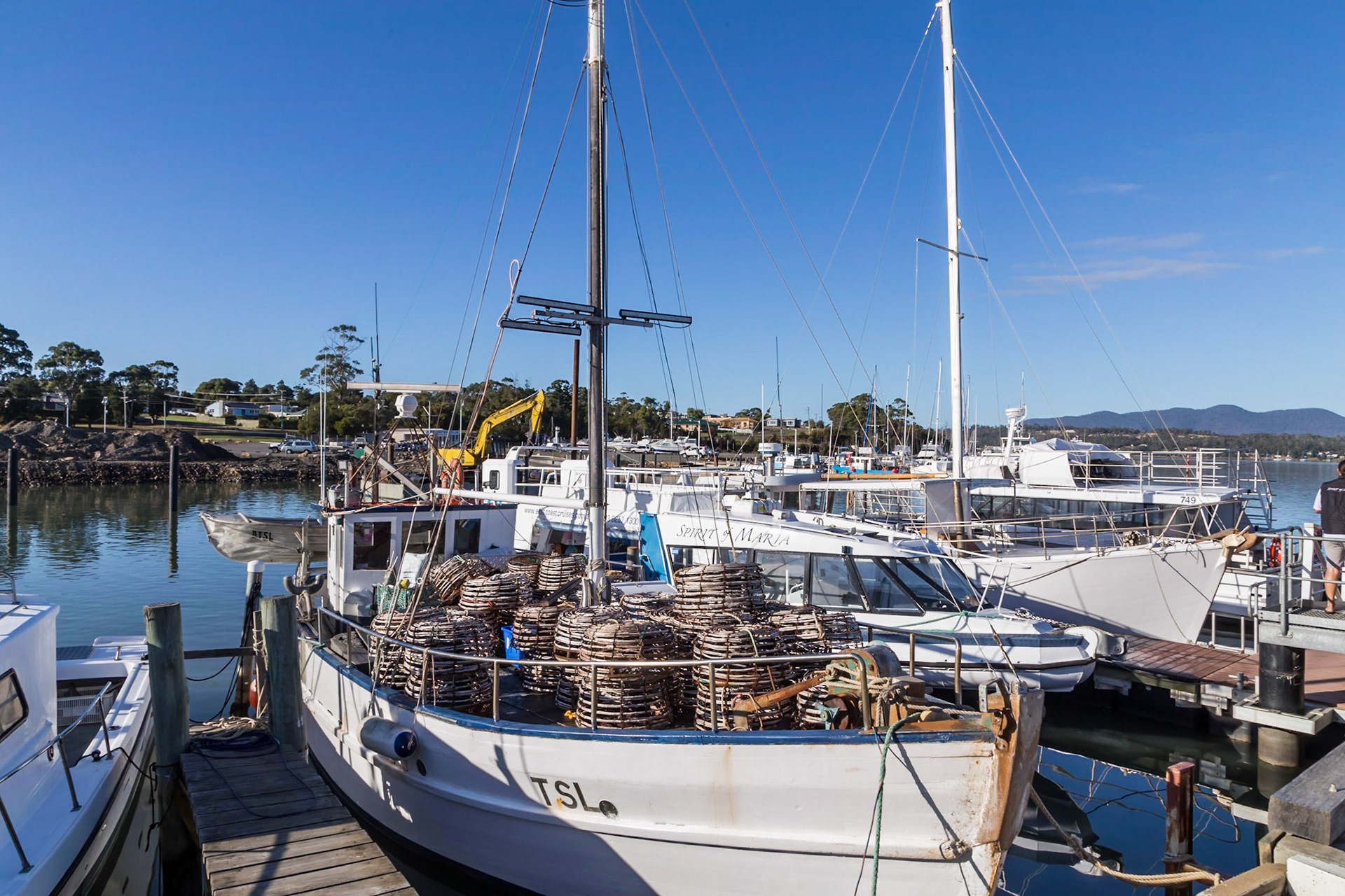
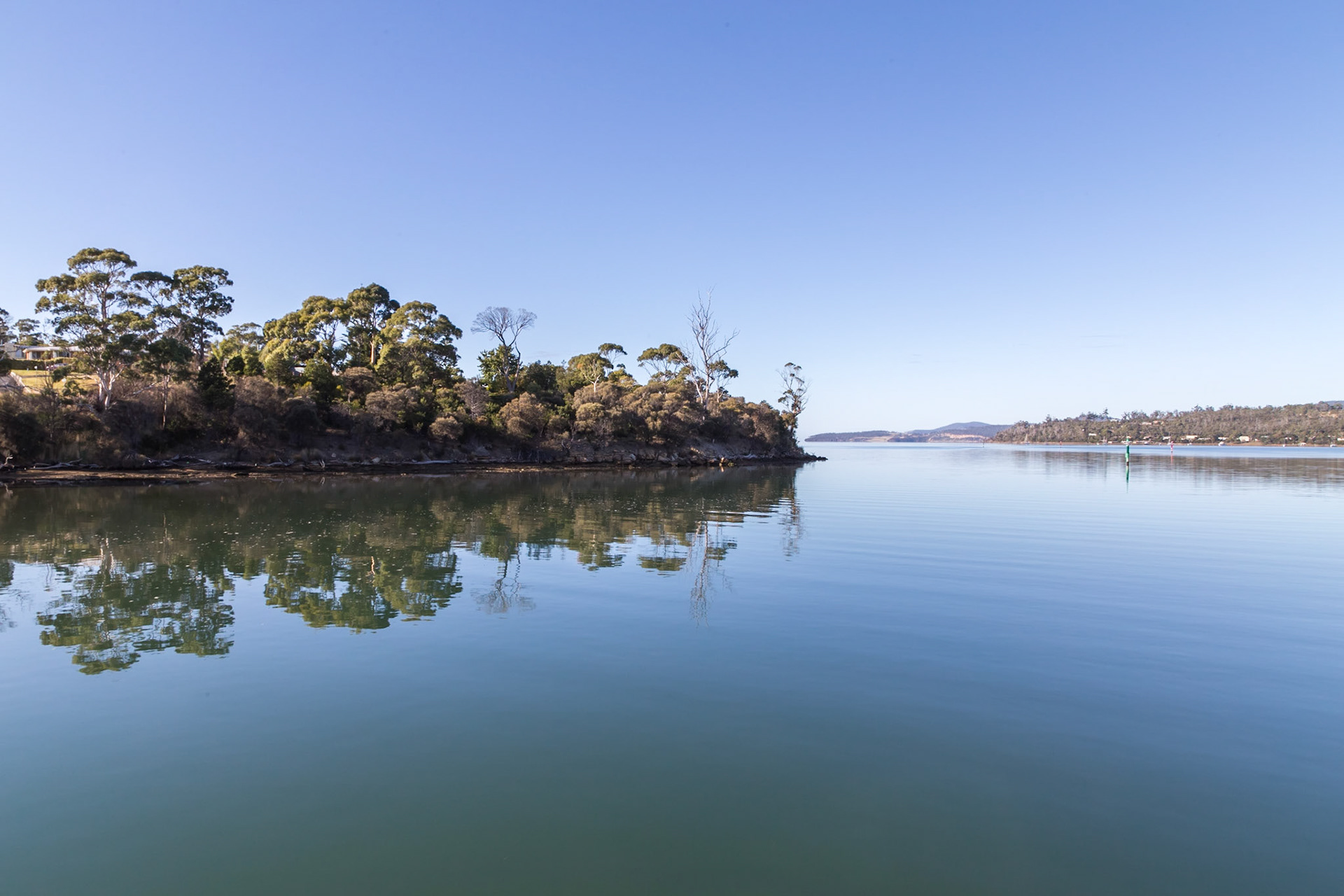
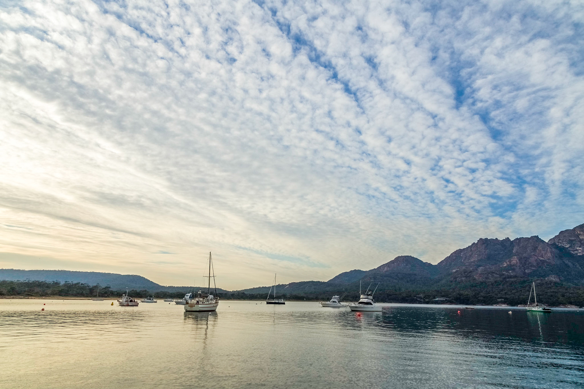
Triabunna Harbour, Spring Bay
Triabunna Harbour, Spring Bay
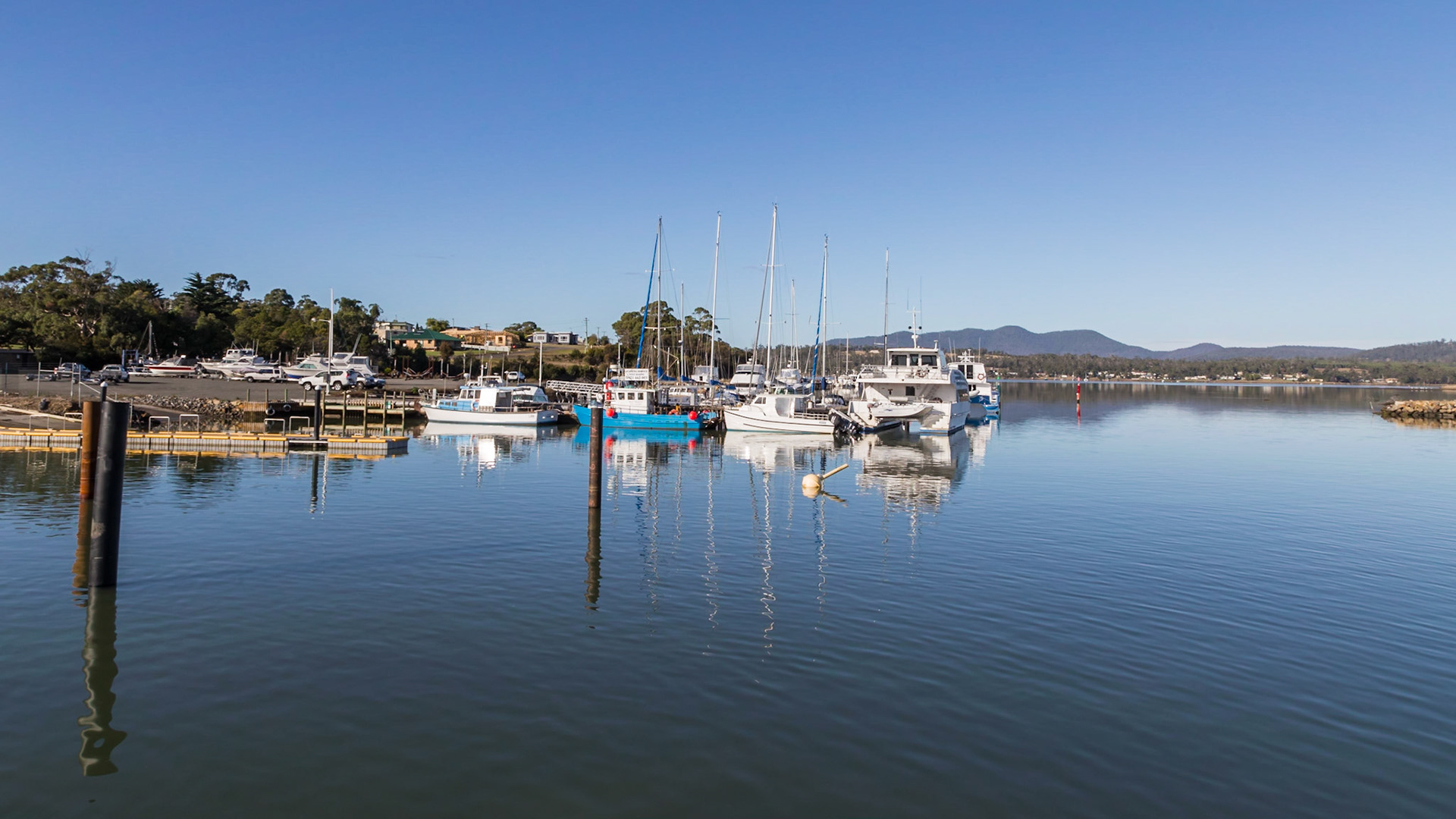
Triabunna. In Spring Bay, heading out to Maria Island
Triabunna. In Spring Bay, heading out to Maria Island
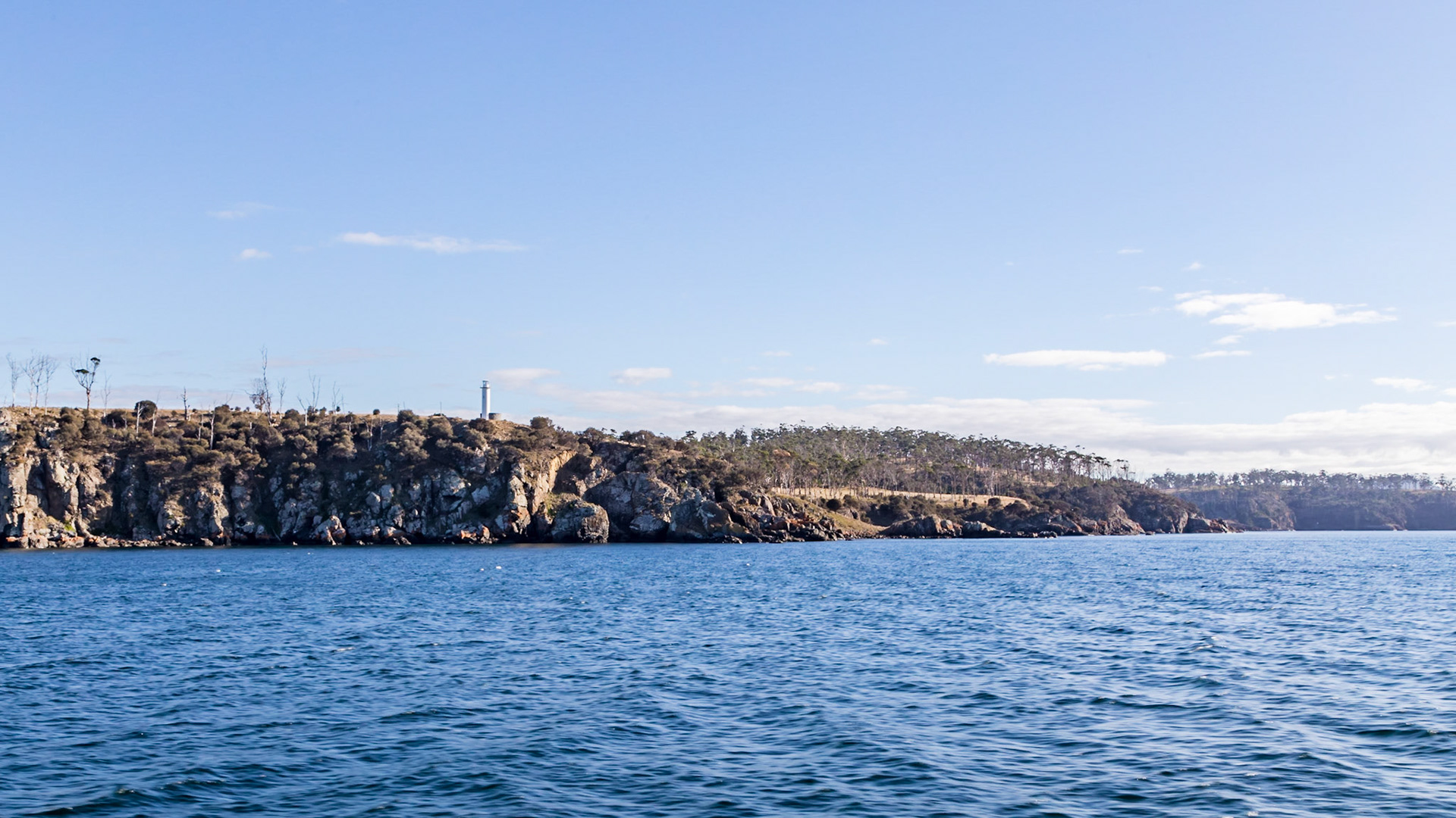
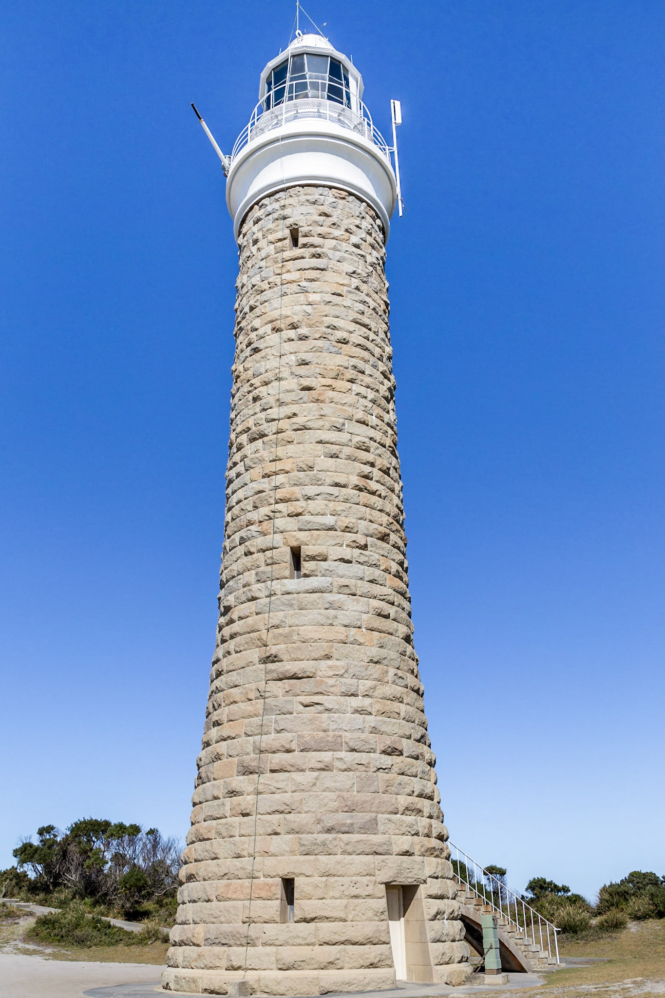
Triabunna. Lighthouse on Point Home
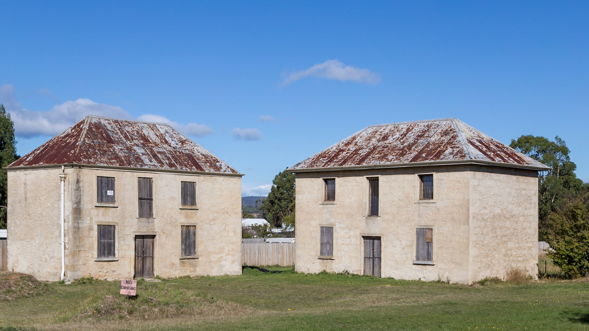
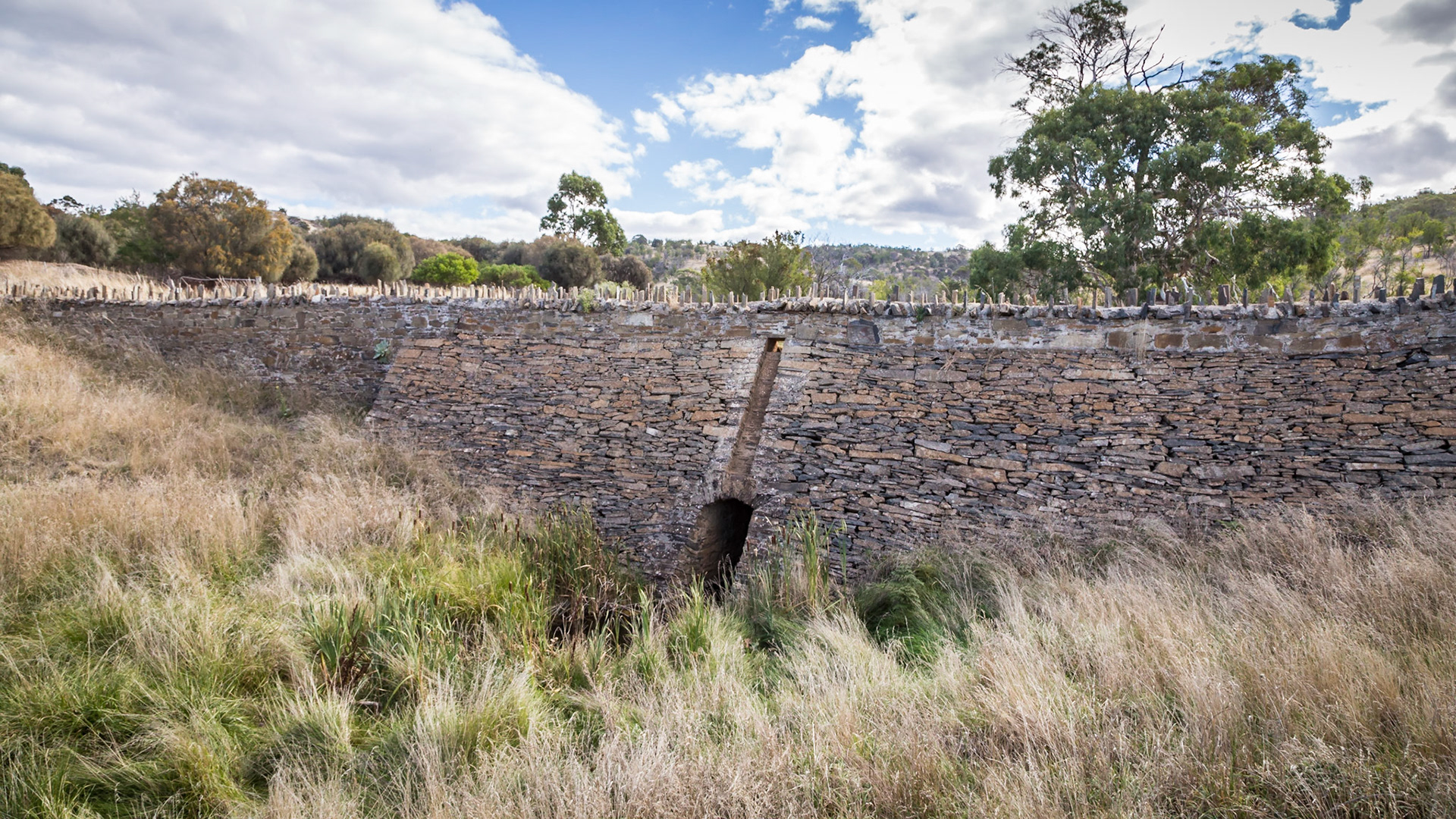
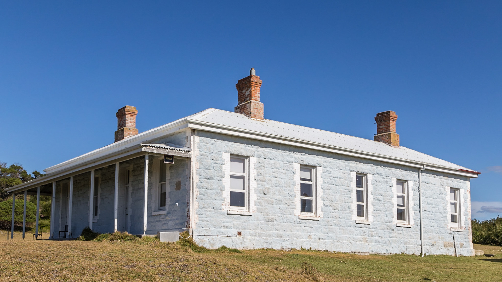
Triabunna. Old Stables and Barracks buildings from 1843.
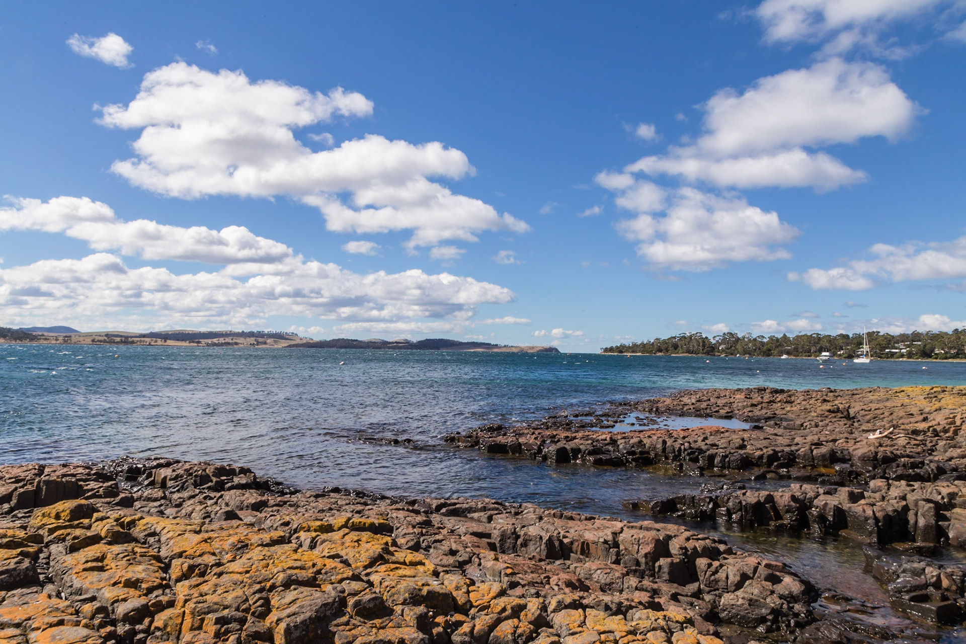
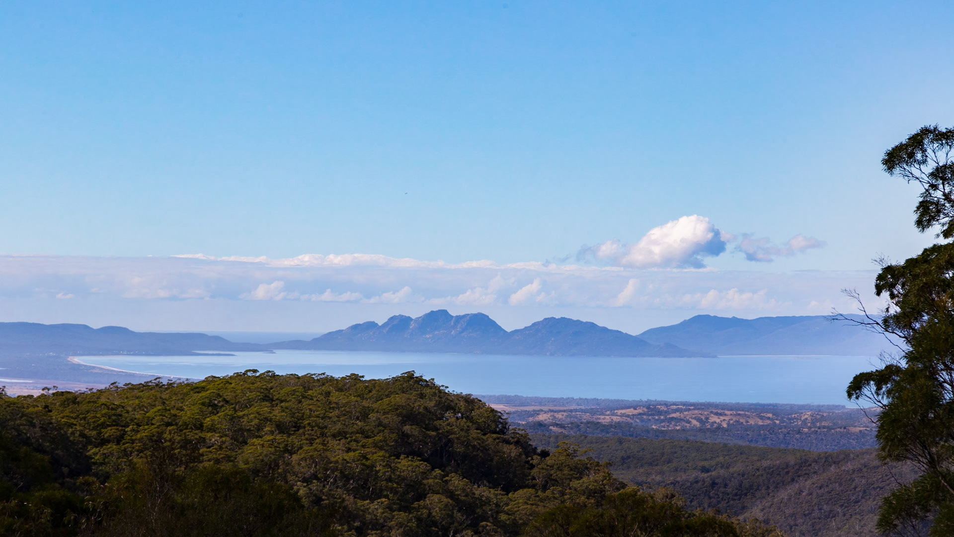
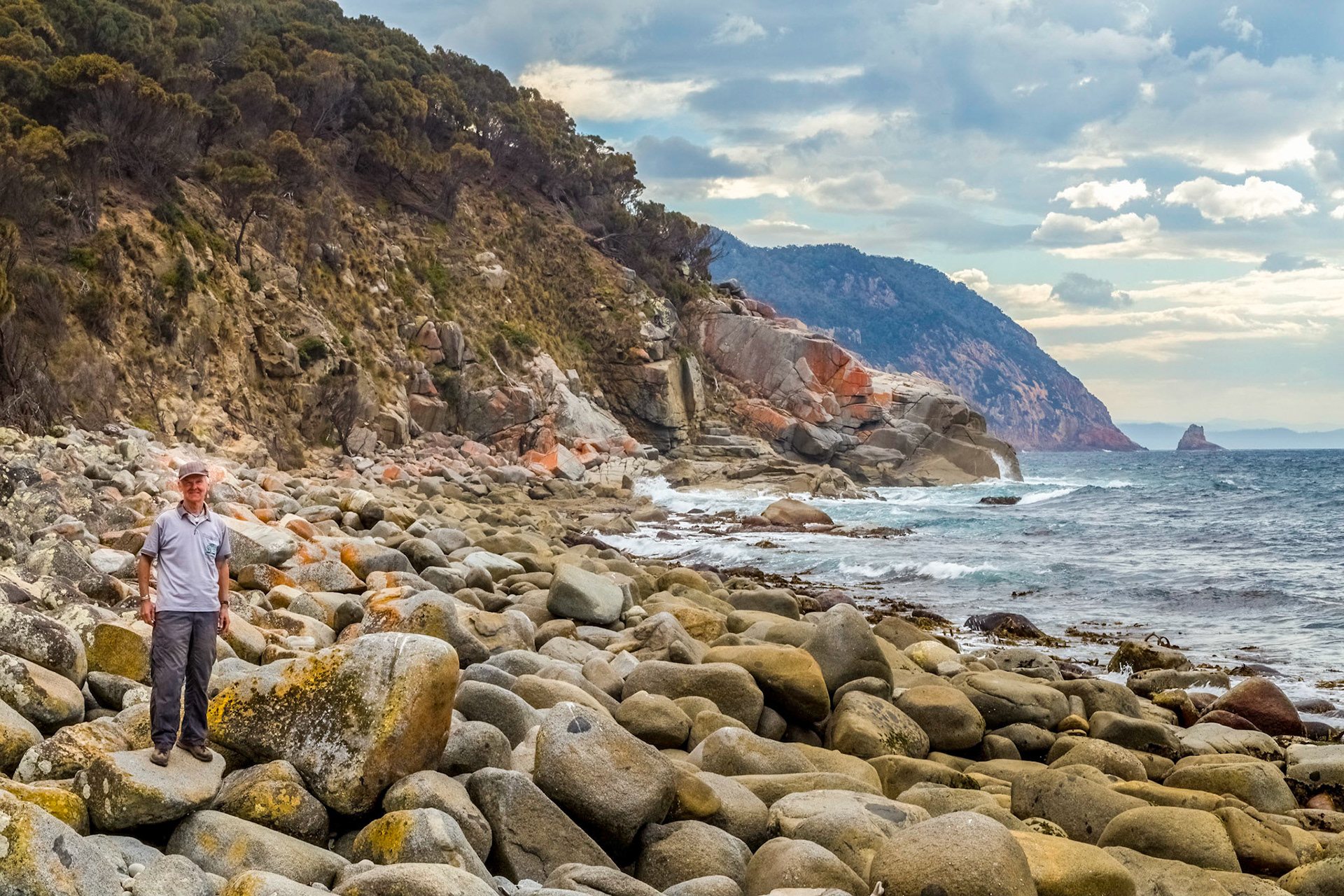
Thumbs Lookout towards the southern part of Maria Island. View to Point Lesueur, Shoal Bay, McRaes Isthmus and Point Mauge, with tiny Lachlan Island.
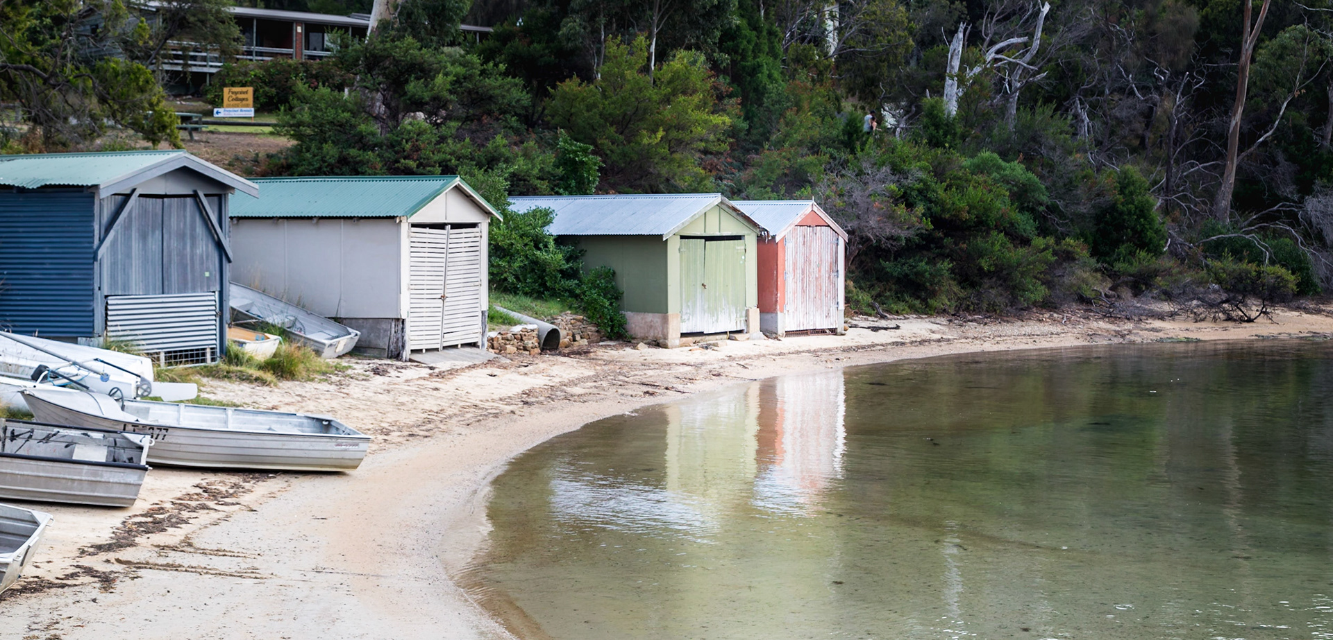
Shelly Beach. At the end of Jetty Road, Orford.
Orford. View across Mercury Passage from Spring Beach to Maria Island
Orford. View across Mercury Passage from Spring Beach to Maria Island
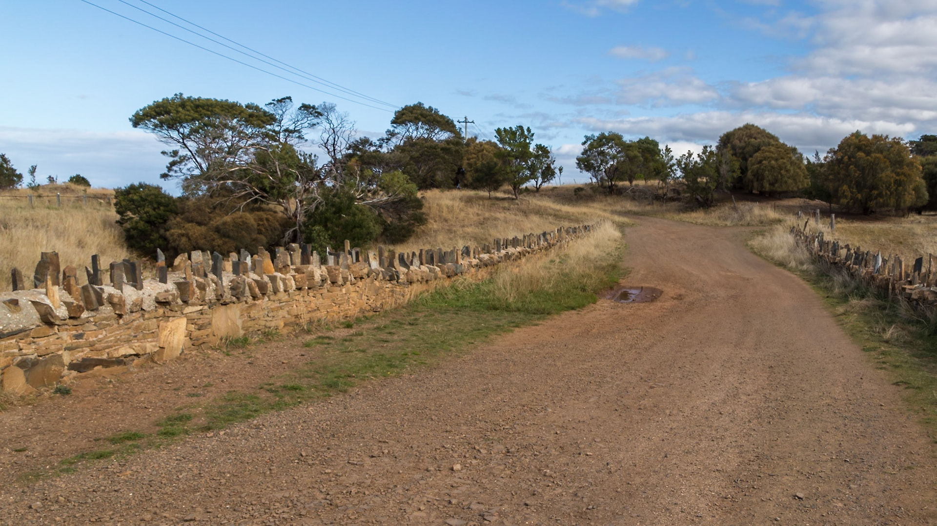
Road across Spiky Bridge (1840s) is part of the old convict-built coach road that connected Swansea with Little Swanport and the east coast road to Hobart
Road across Spiky Bridge (1840s) is part of the old convict-built coach road that connected Swansea with Little Swanport and the east coast road to Hobart
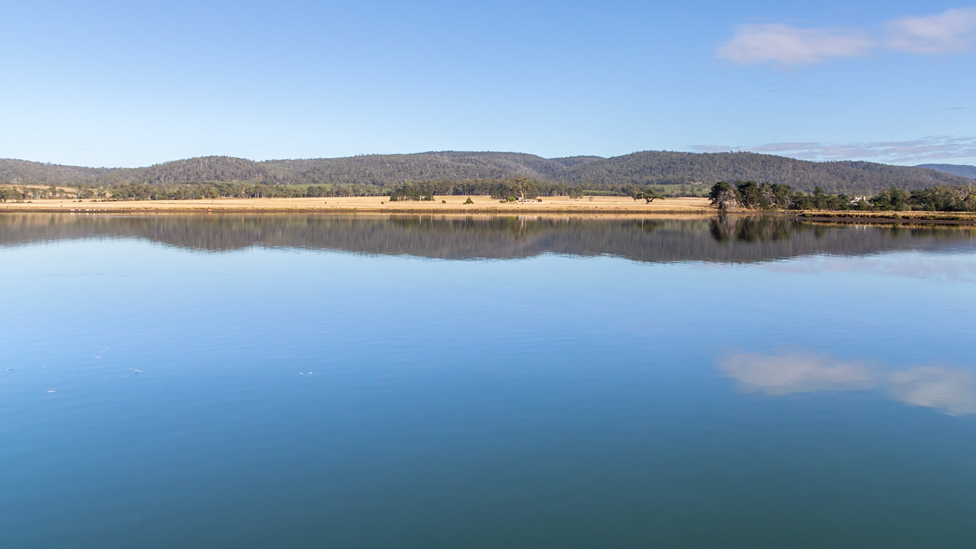
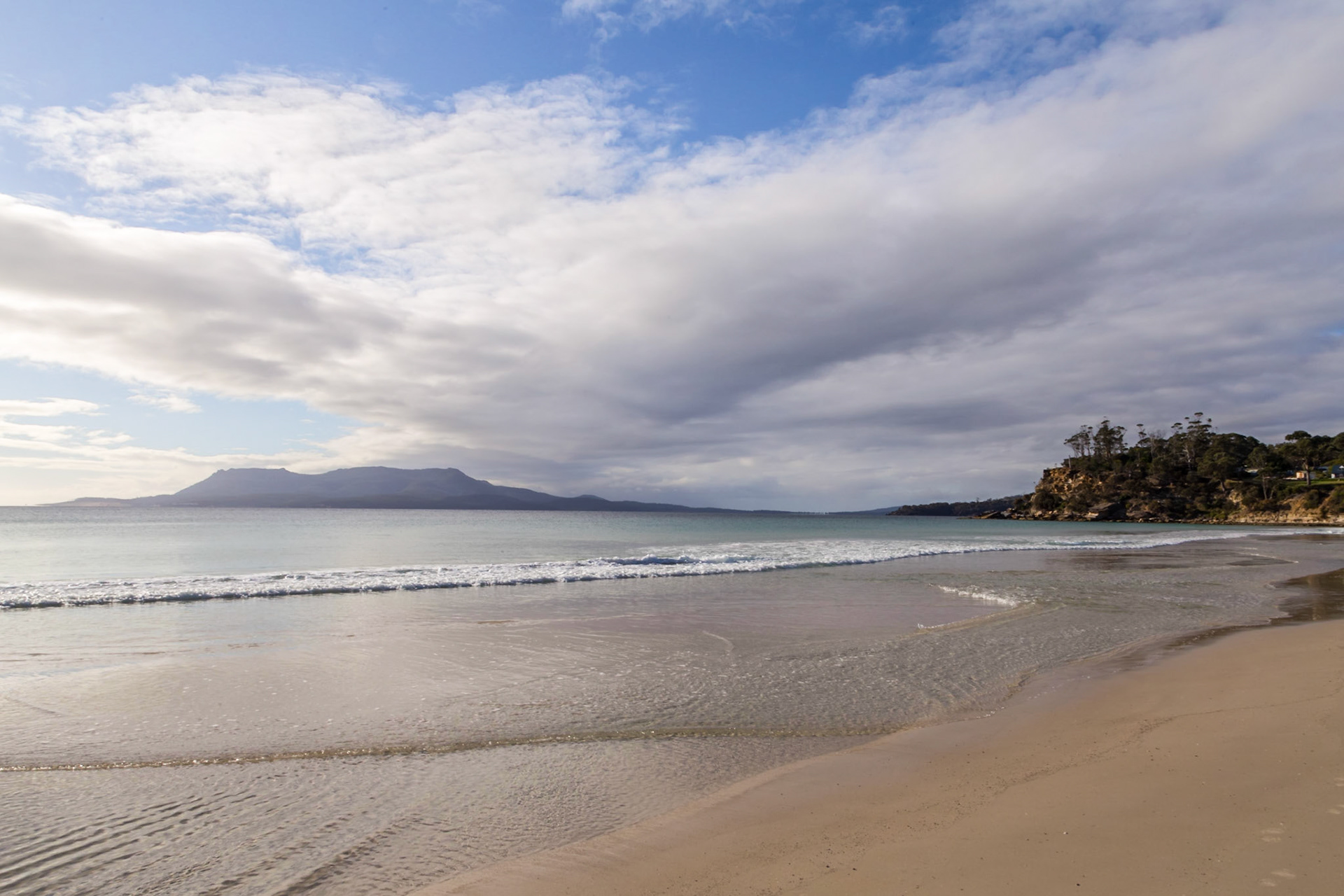
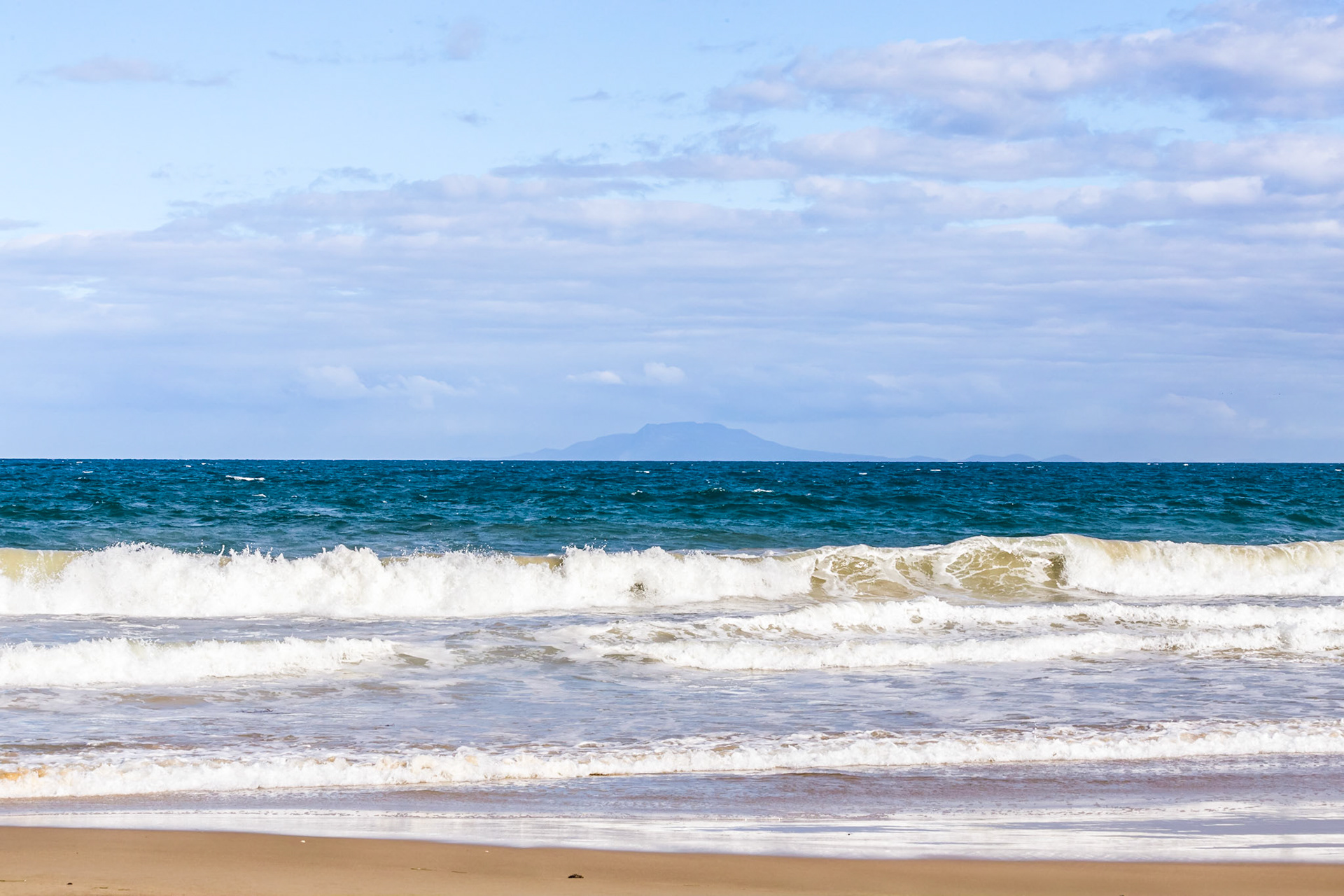
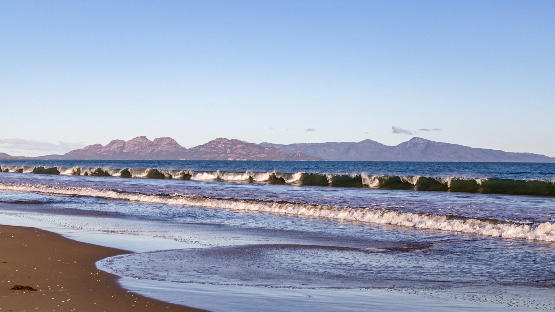
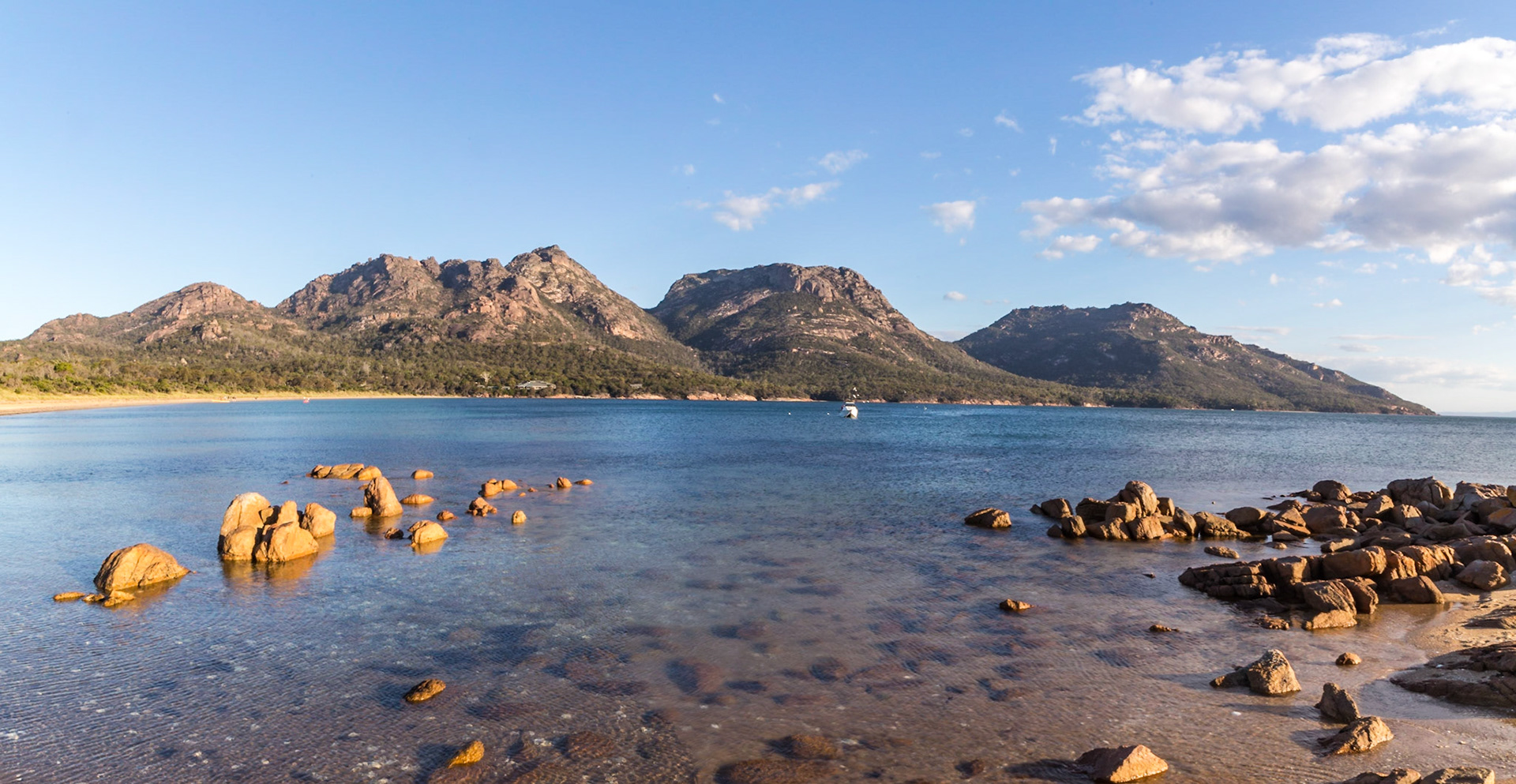
Cressy Beach, near Swansea. Maria Island in the distance.
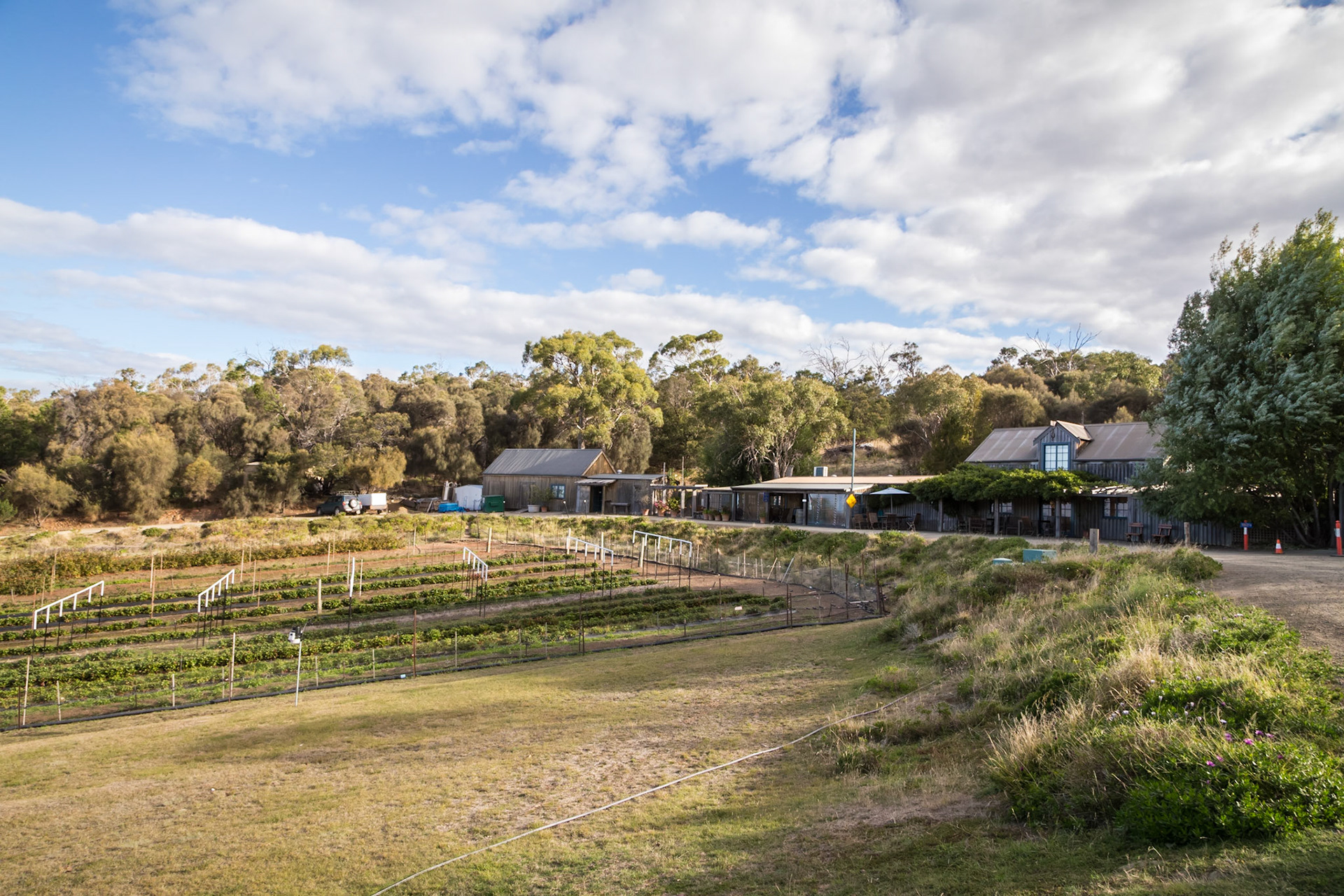
Kate's Berry Farm. Excellent ice-creams of various berry flavours, berry pies, pancakes, crepes and various other berry products
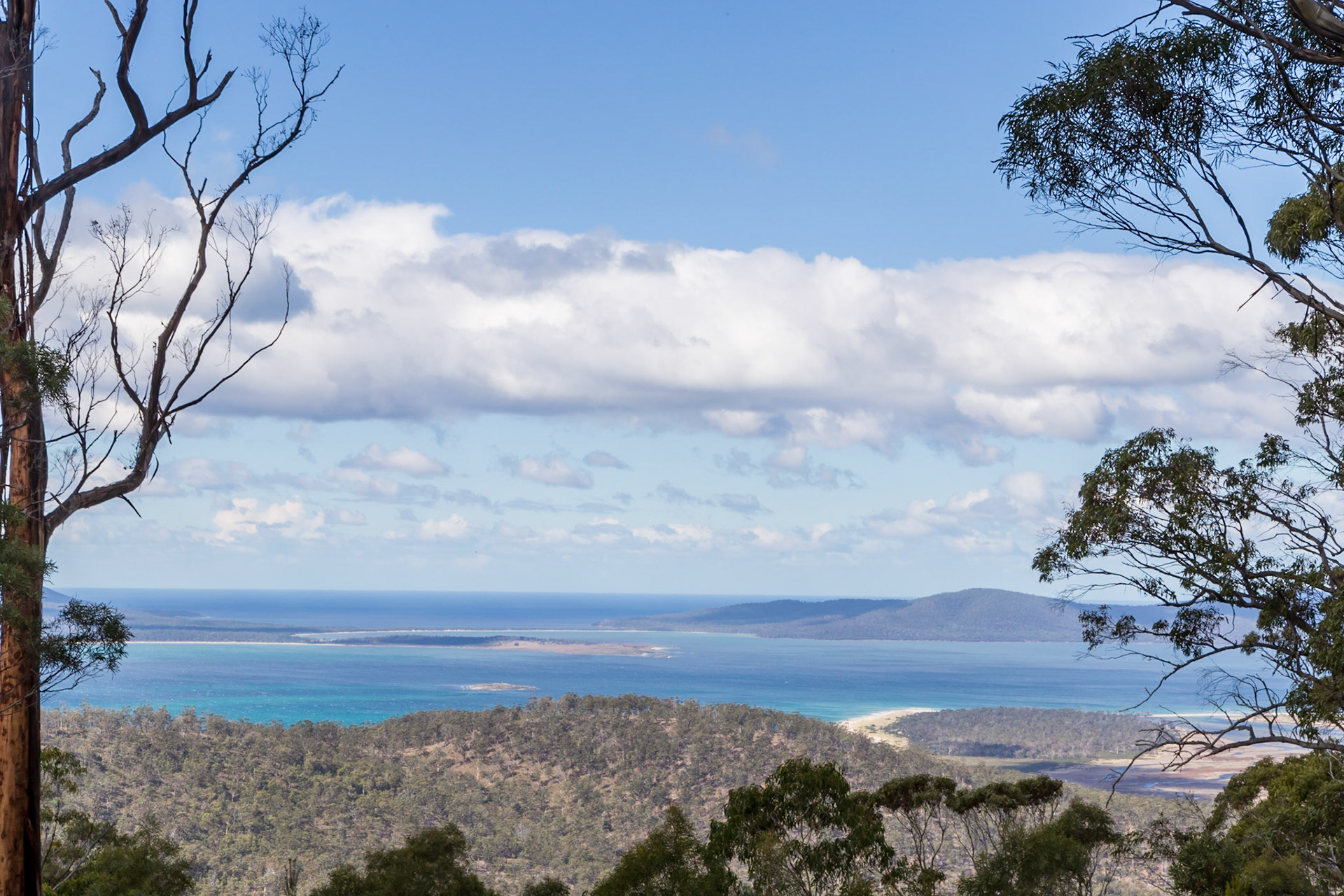
View to Freycinet, from Lost Falls Forest Reserve
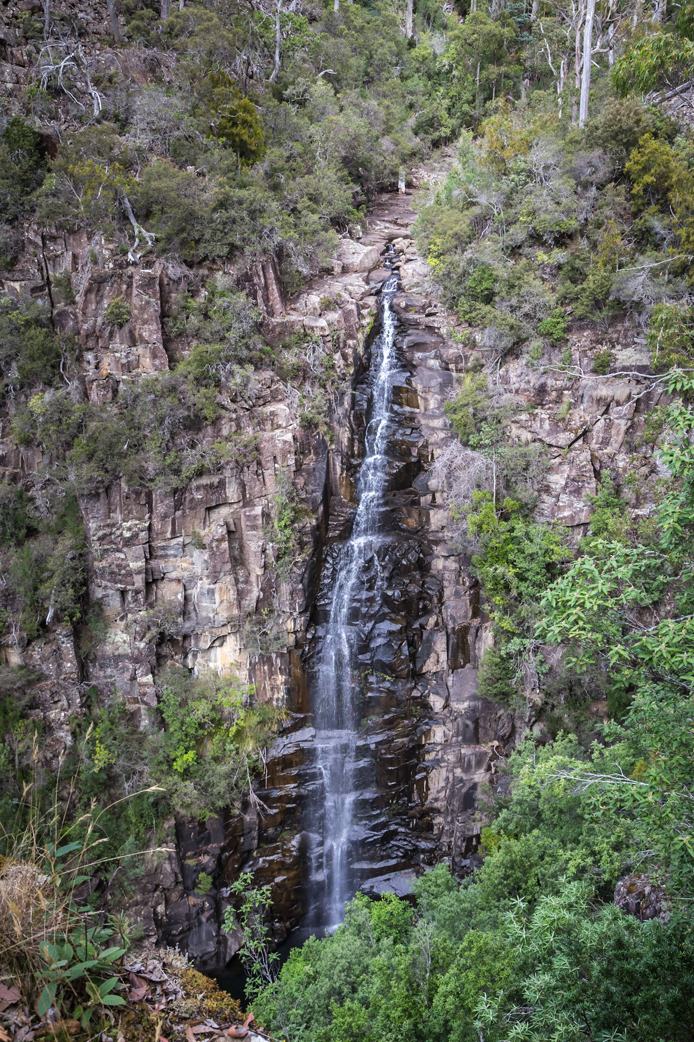
Meetus Falls
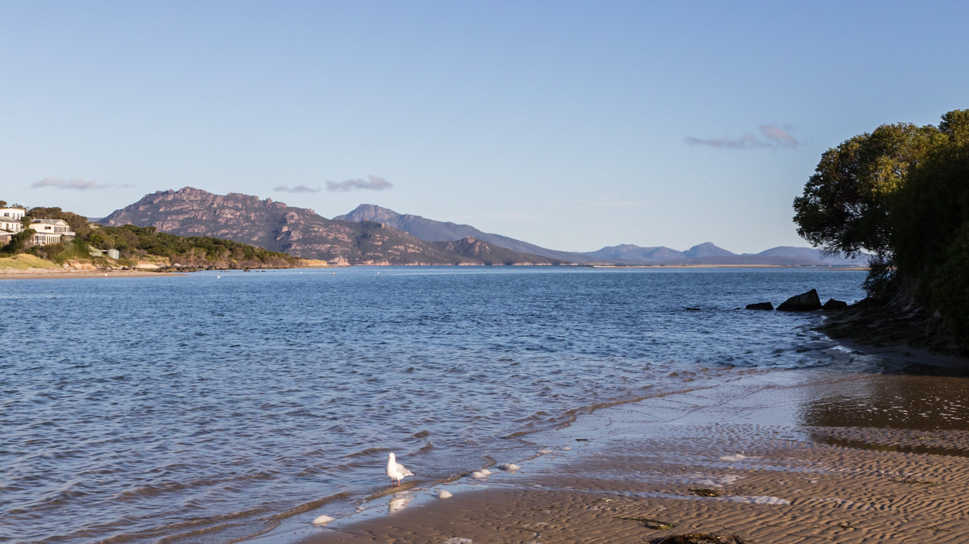
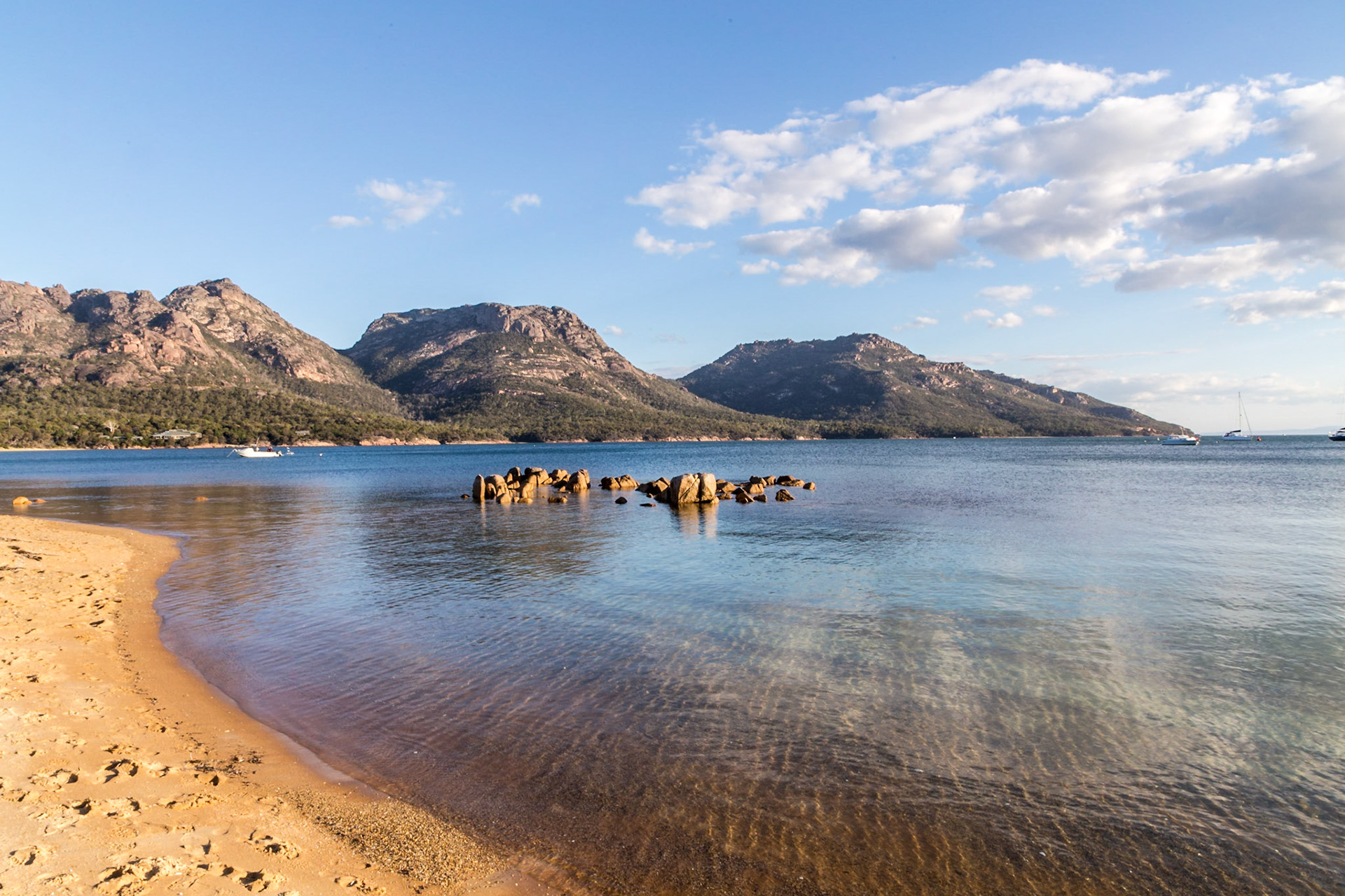
Swan River at Dolphin Sands. Opening to Great Oyster Bay. The Freycinet Peninsula is across the water.
Dolphin Sands, across Great Oyster Bay to Freycinet
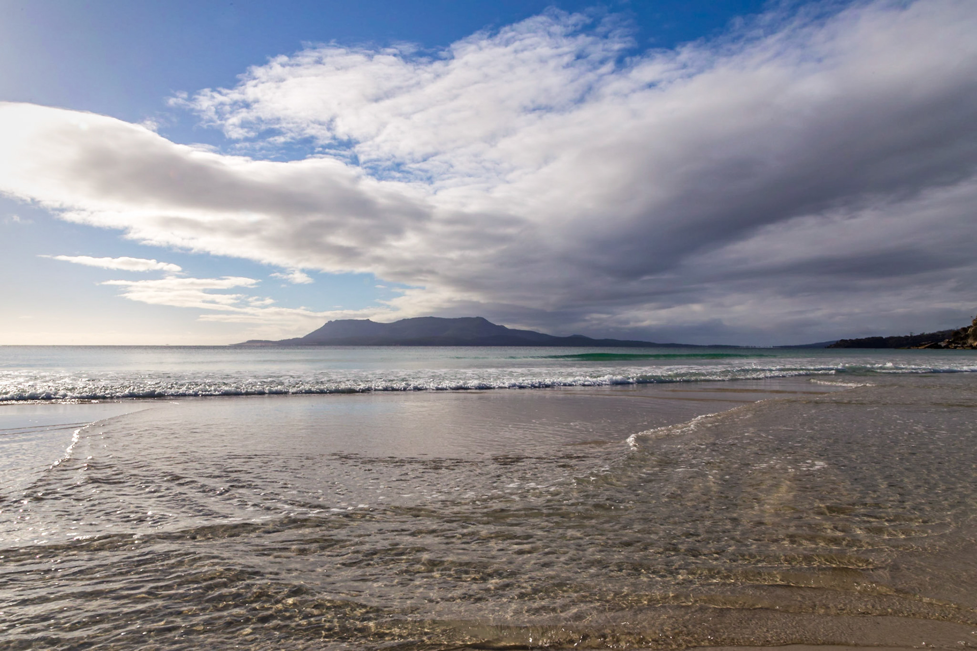
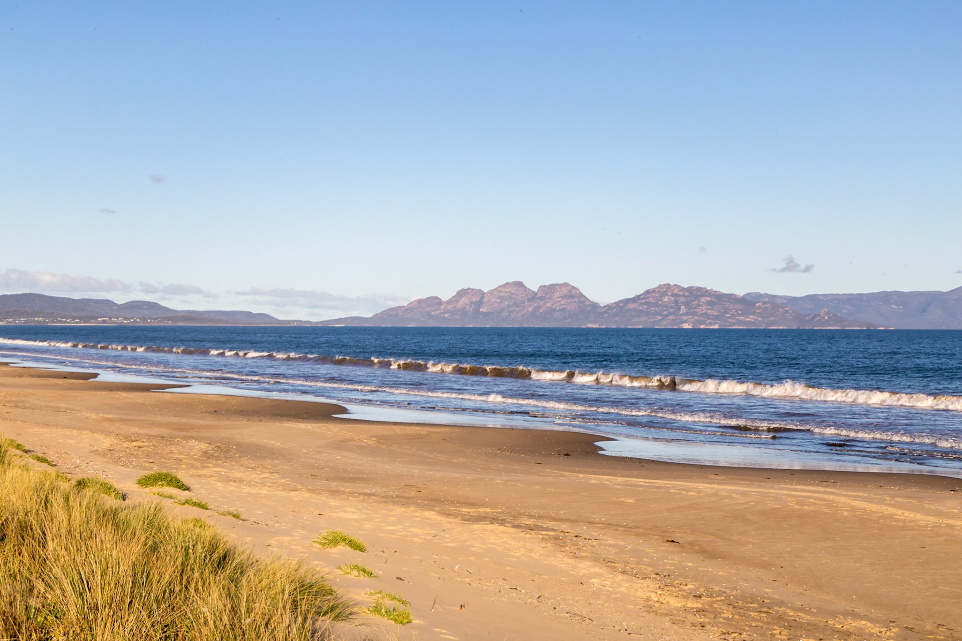
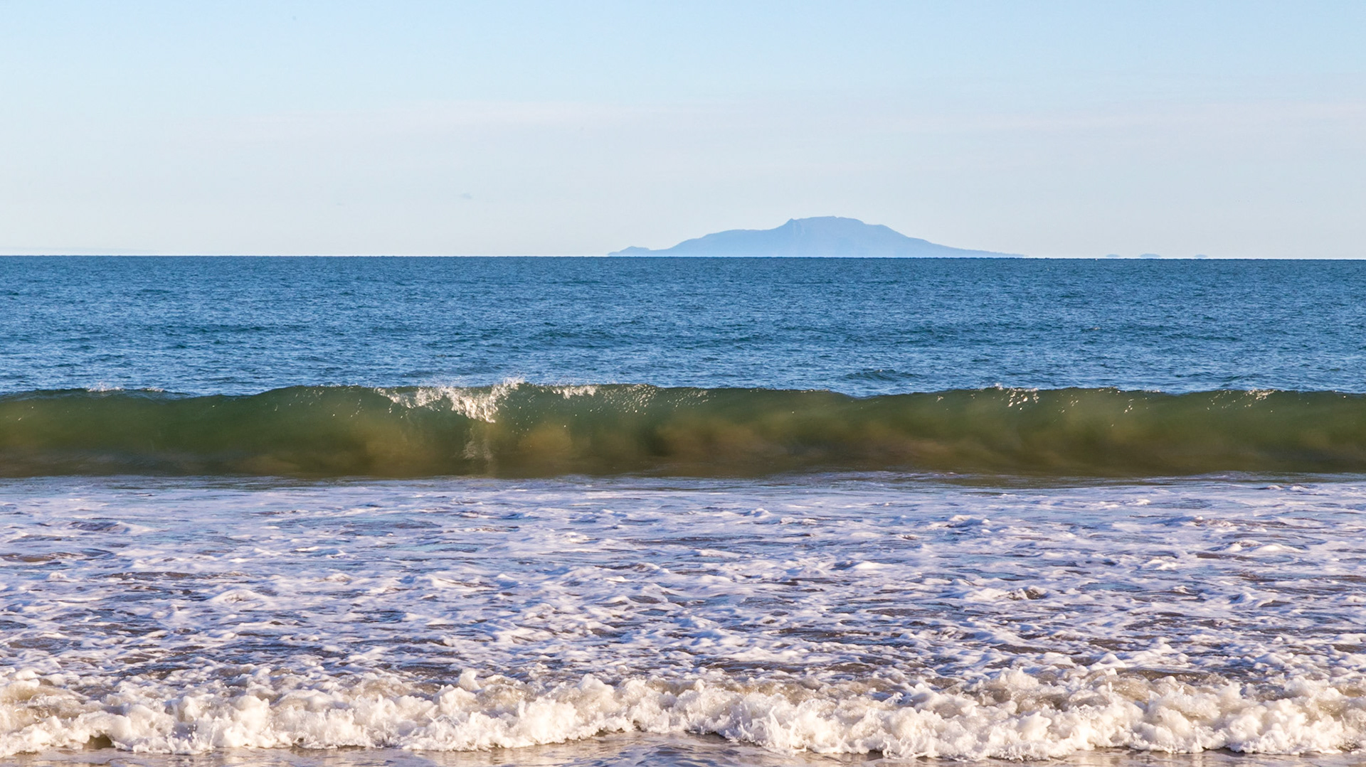
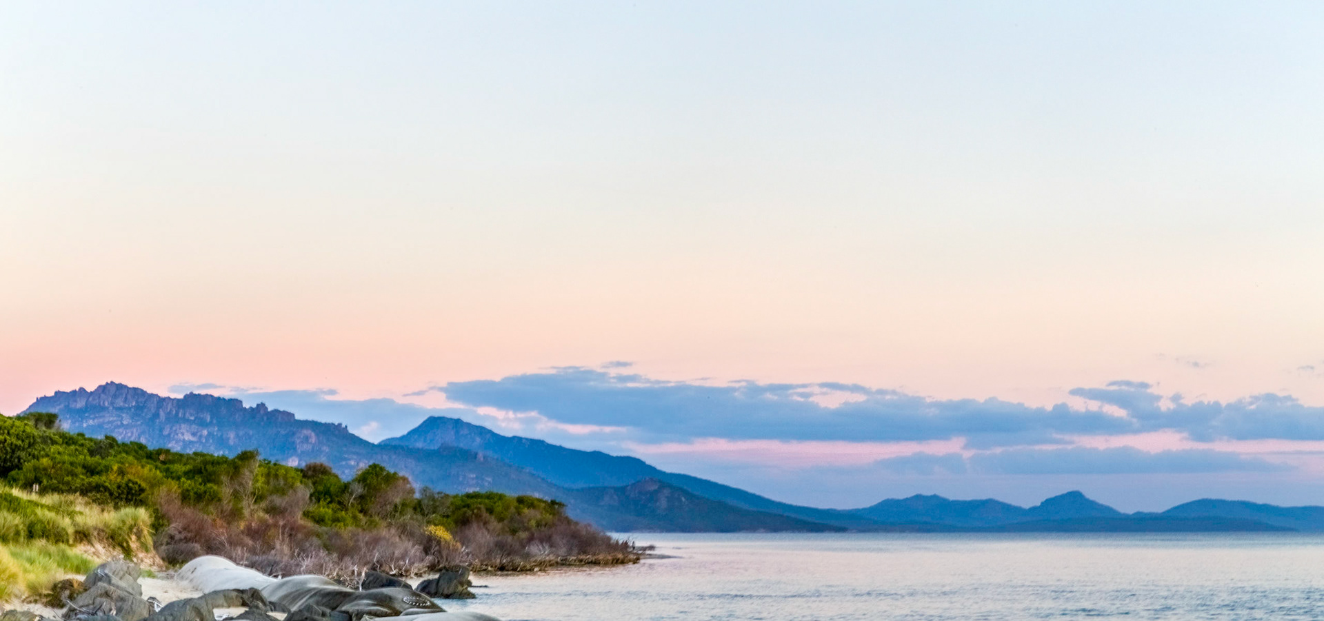
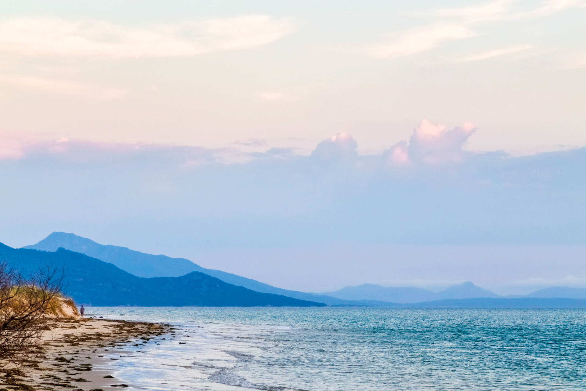
From Nine-Mile Beach down Great Oyster Bay to Maria Island distant on the horizon
Freycinet Peninsula, in view from Nine-Mile Beach. Profiiles of the 5 peaks of 'The Hazards', then Mt Graham and Mt Freycinet, across Great Oyster Bay.
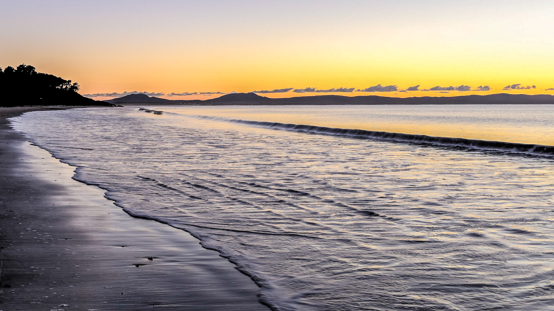
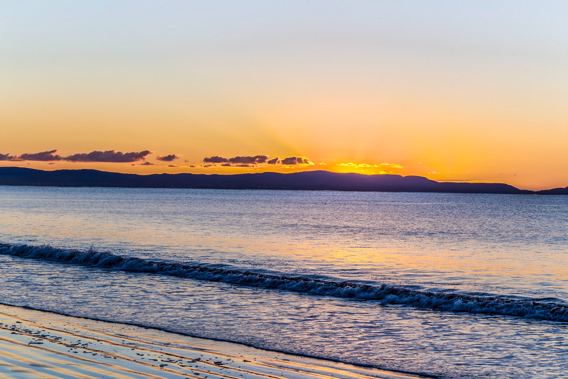
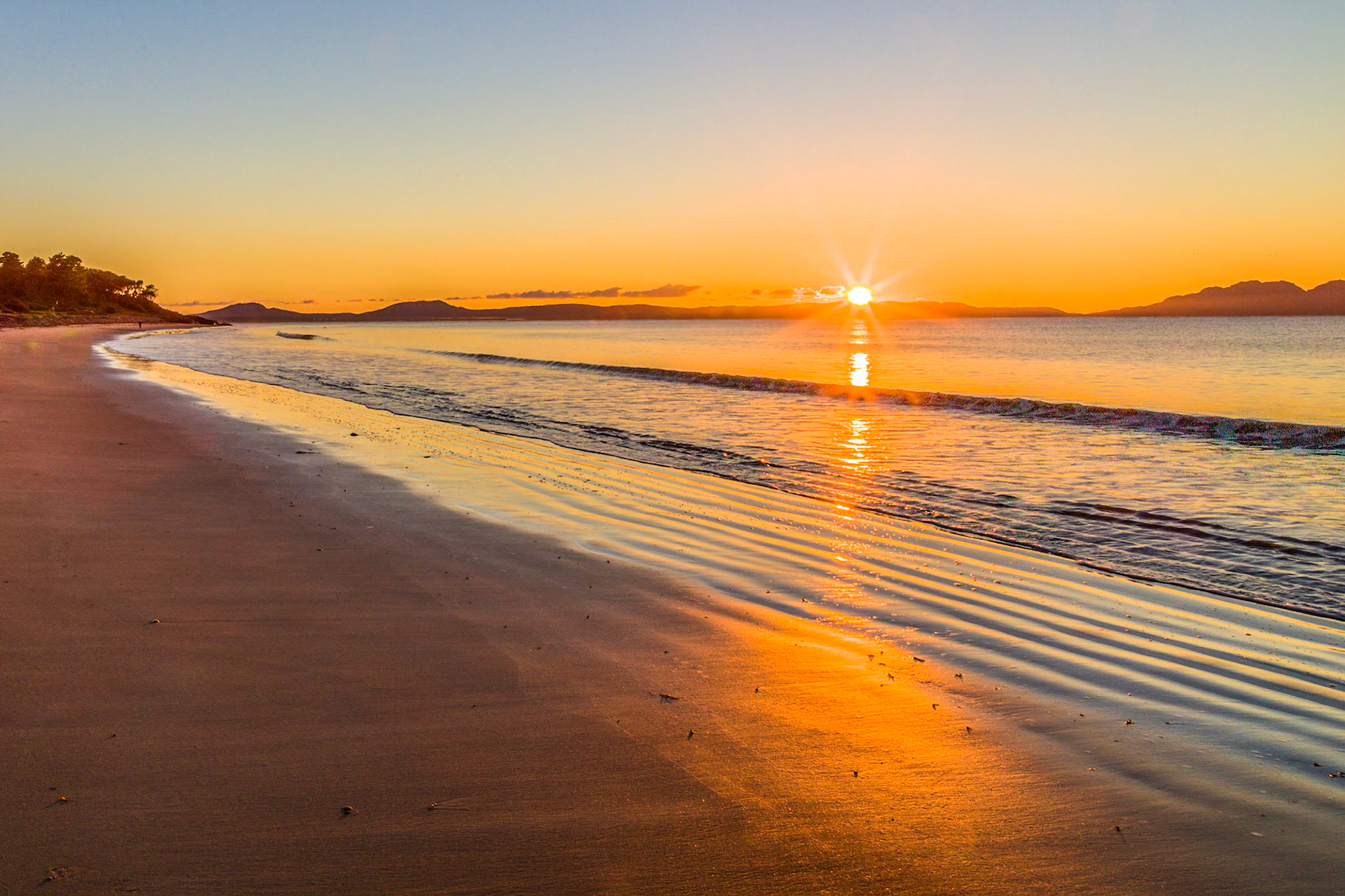
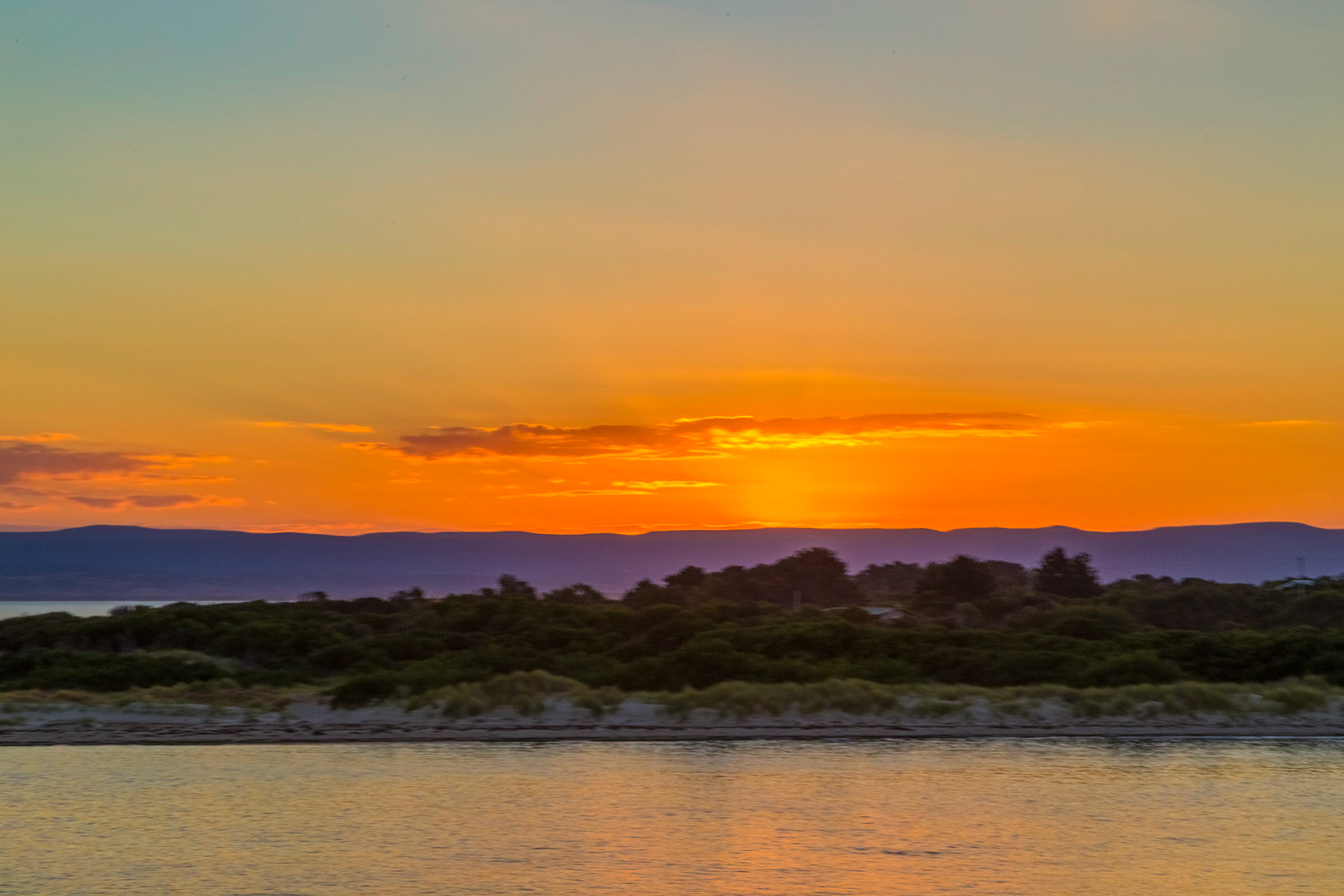
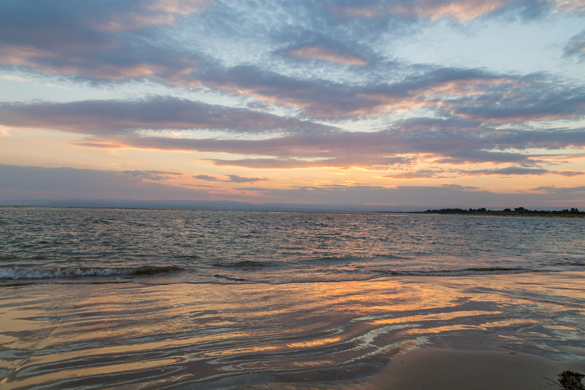
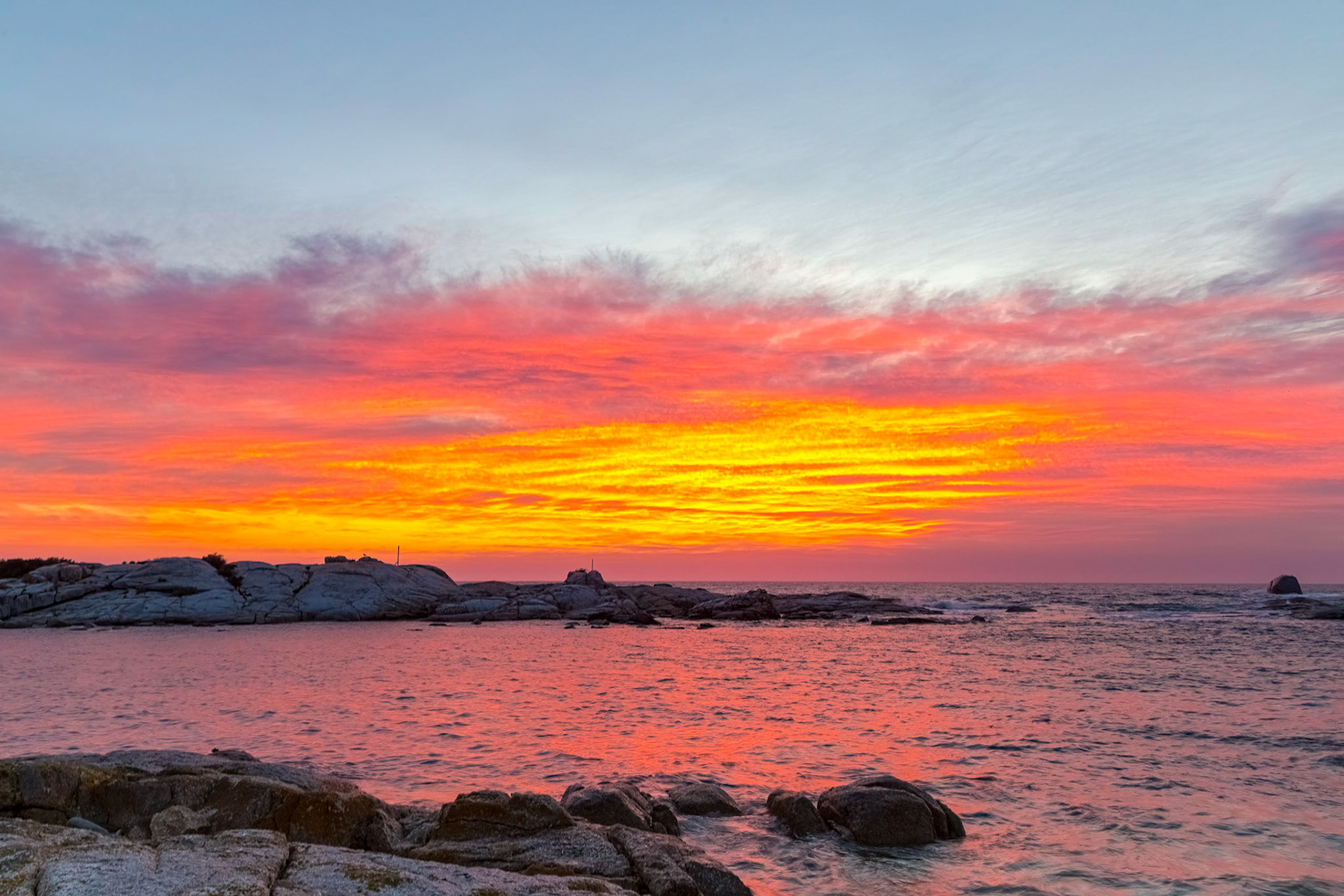
Glow of the approaching sunrise. Watching the dawn over Freycinet from Swansea Beach
Small clouds on the eastern horizon glow brilliant gold just before the sun lifts above the horizon. Schouten Beach.
Swansea sunrise, on Schouten Beach.
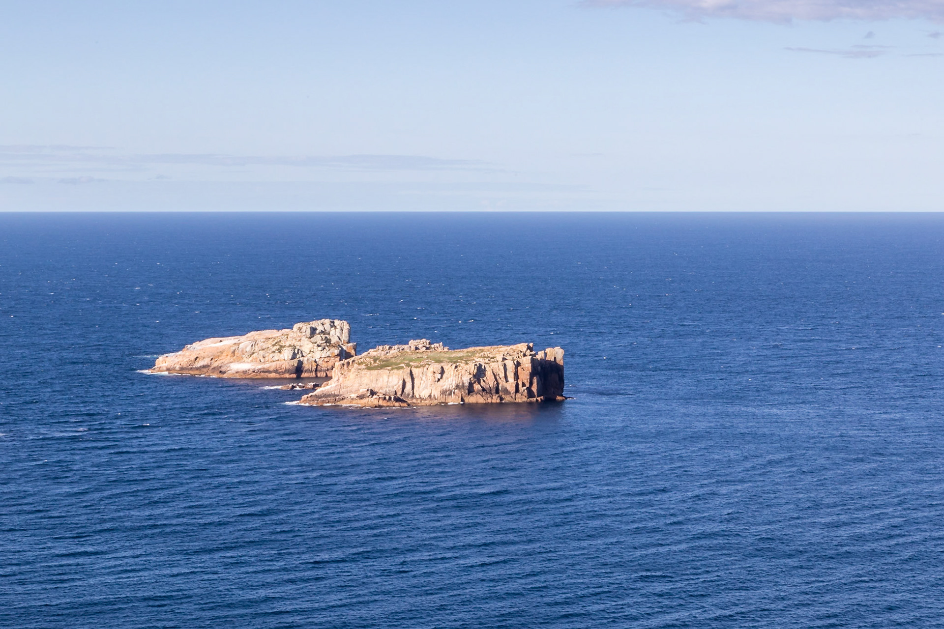
The Nuggets. Cluster of granite islands just off-shore from Cape Tourville. Important bird breeding place with unusually high diversity of nesting seabirds relative to the size of the isalnds.
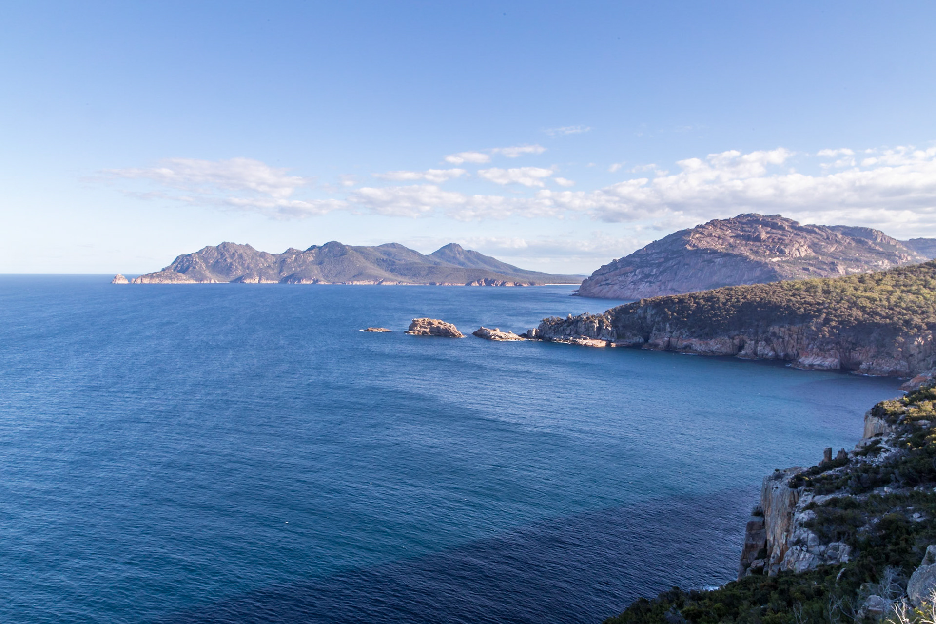
View from Cape Tourville across Thouin Bay.. Lemon Rock at the far left. Mt Graham (579m) and Mt Freycinet (620m) on the peninsula across the bay, with Wineglass Baybehind the point at the right; Sleepy Bay and Carp Bay as the view comes closer towards the foreground.
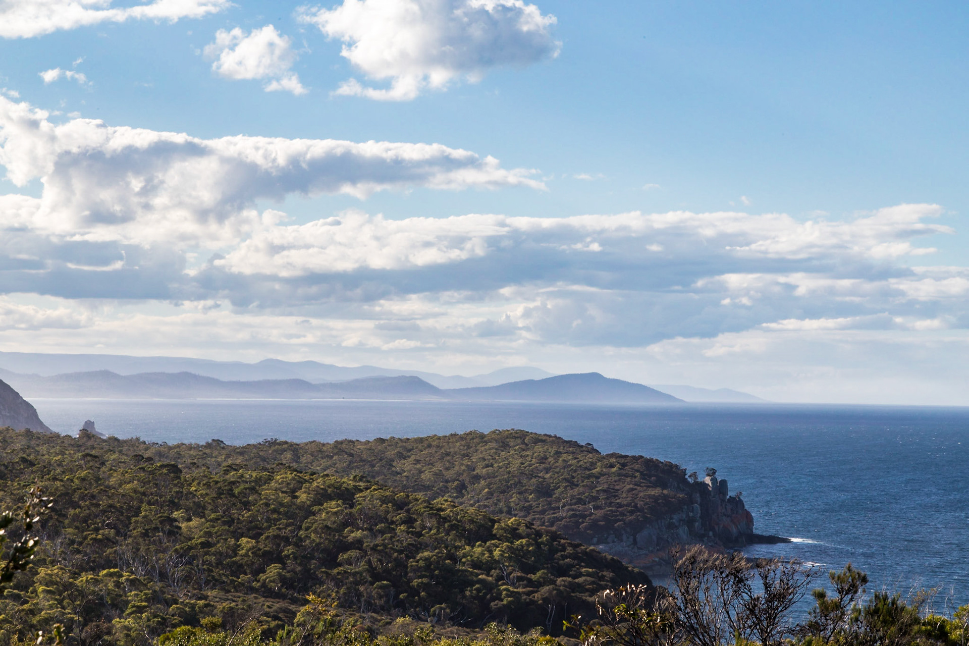
View from Cape Tourville, northwards to the Friendly Beaches and Cape Lodi.
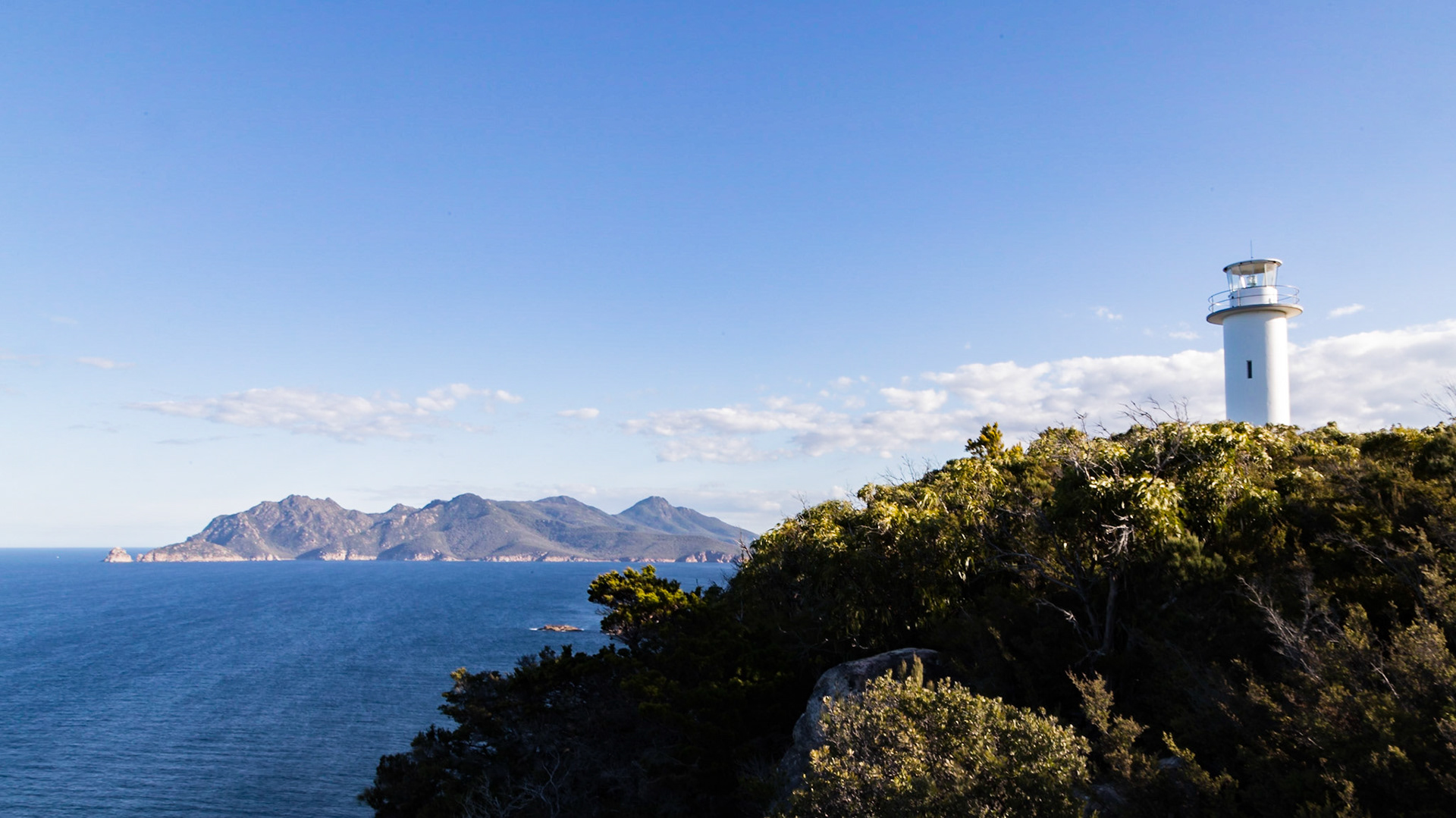
Cape Tourville Lighthouse. Mt Graham (579m) and Mt Freycinet (620m) in the background.
'The Hazards': a line of five hills in the Freycinet National Park. Mt Parsons (331m), Mt Baudin (413m), Mt Dove (485m), Mt Amos (454m) & Mt Mayson (415m).
'The Hazards' hills, viewed from Richardsons Beach; Baudin, Dove, Amos & Mayson
Coles Bay. Sunset across Great Oyster Bay, from Sandpiper Beach
Coles Bay. Great Oyster Bay after sunset, from Sandpiper Beach
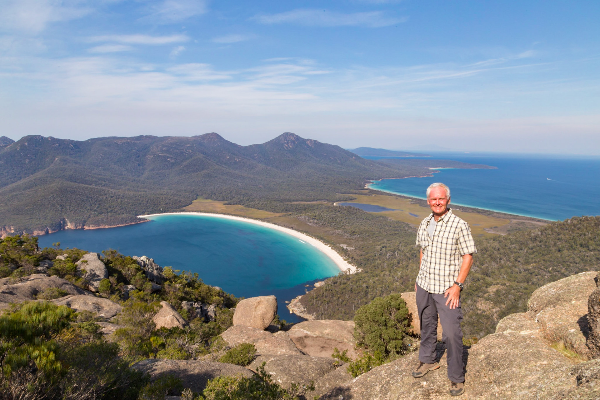
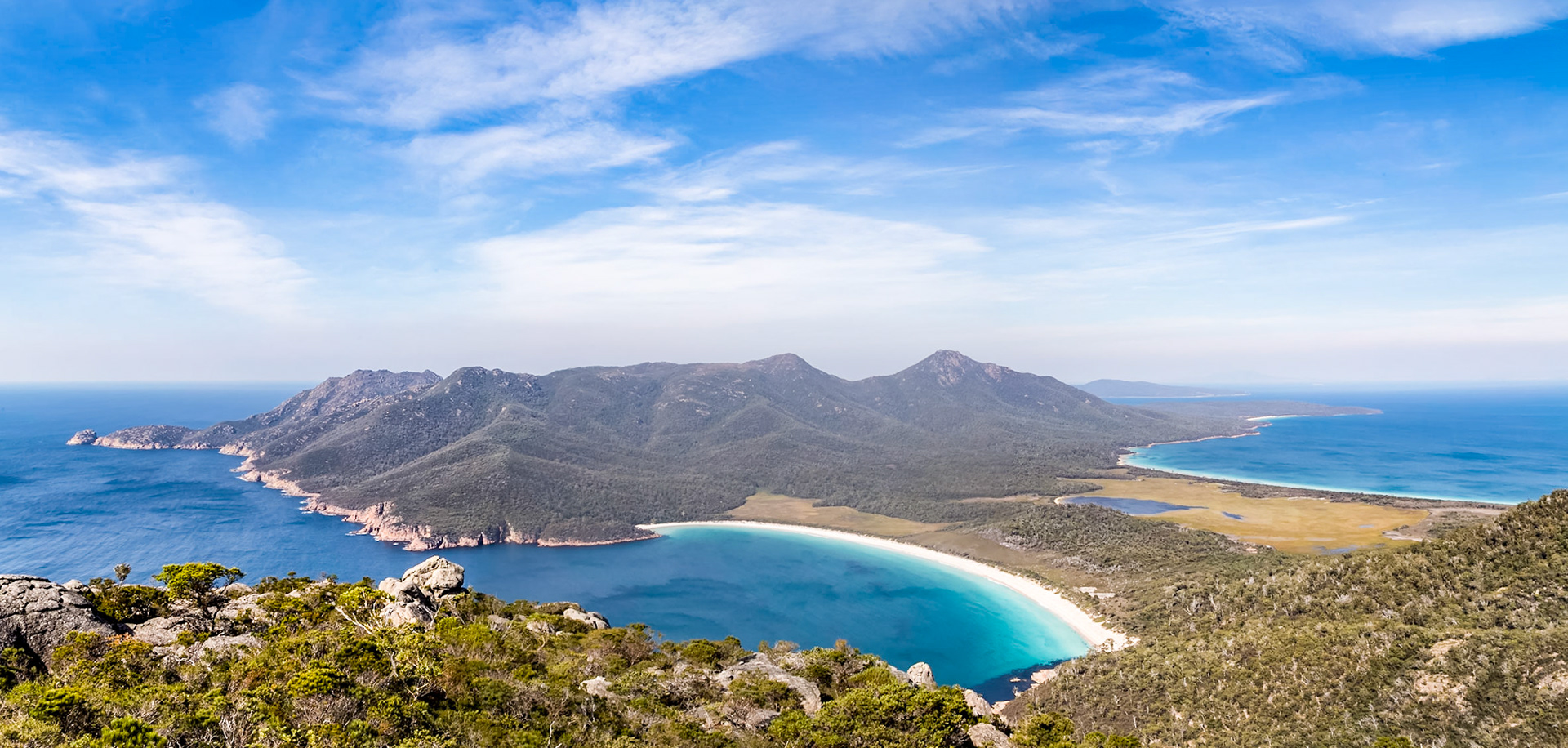
Wineglass Beach and the Bay, from the summit of Mt Amos (454m)
Wineglass Beach and the Bay, from the summit of Mt Amos (454m). With Hazards Beach and Promise Bay on the other side of the isthmus, with Mt Graham (579m) and Mt Freycinet (620m) behind.
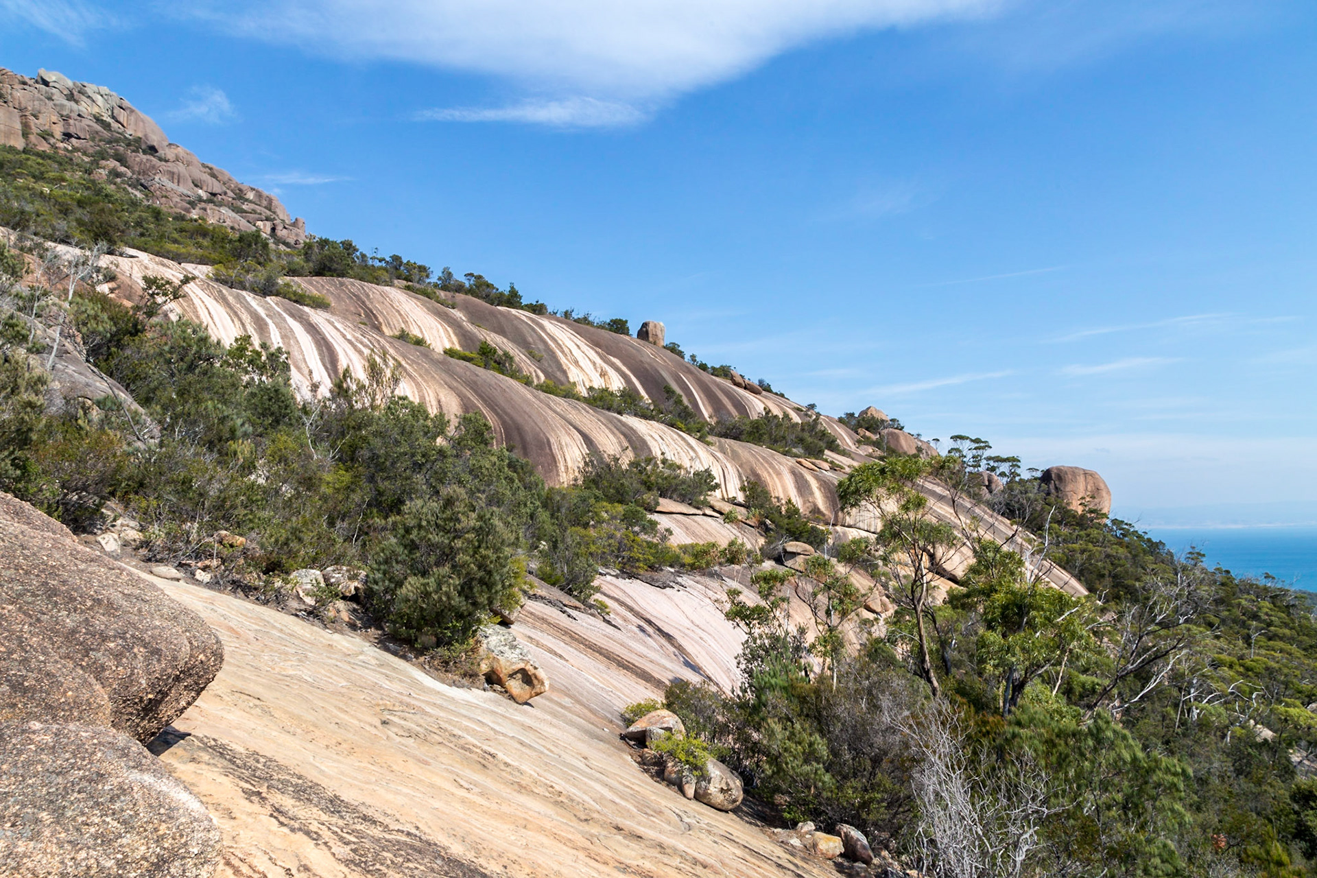
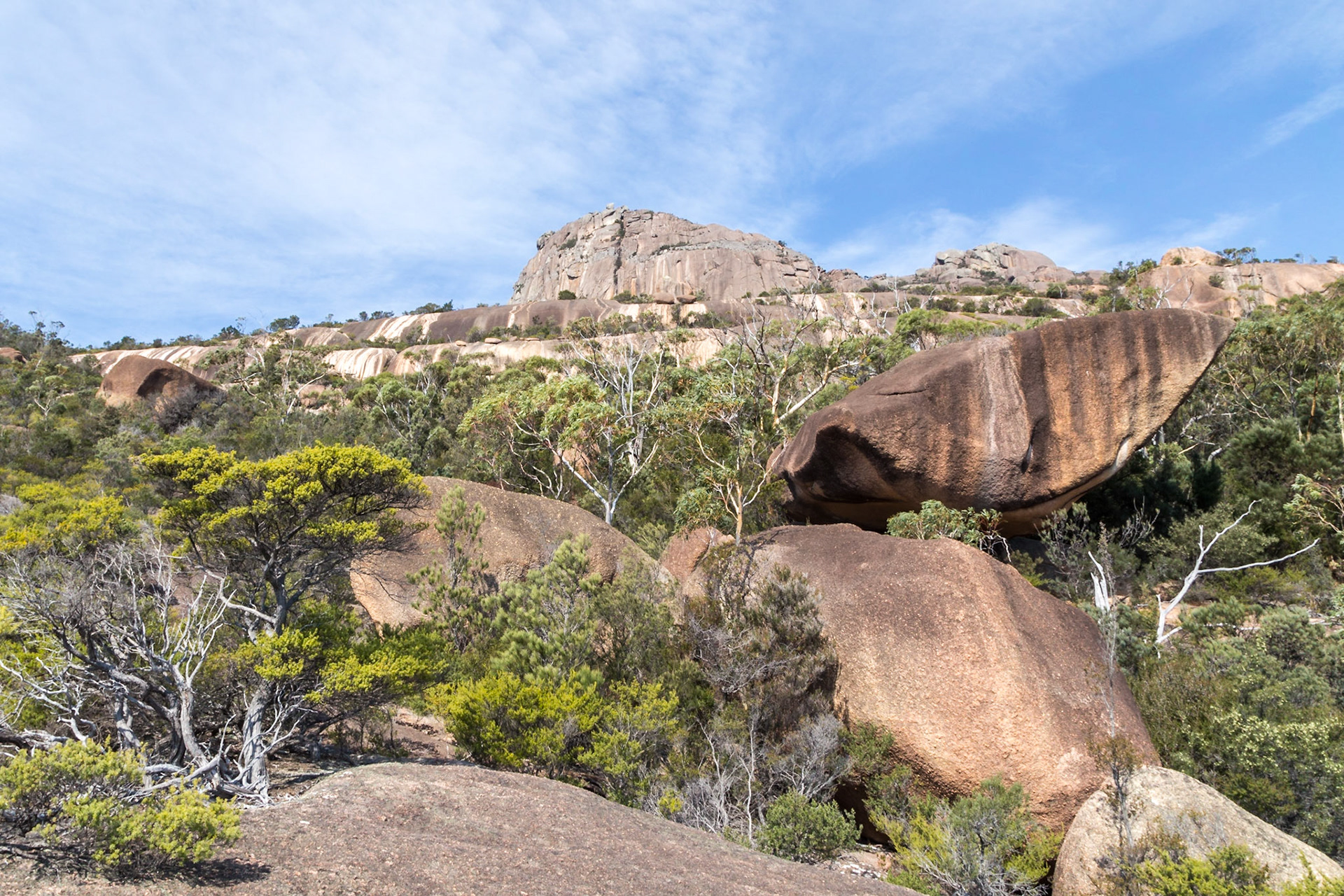
Mt Amos Ascent Terrain
Mt Amos Ascent Terrain
After the sunset on Great Oyster Bay, from Sandpiper Beach. Mt Freycinet (620m) in the left background.
After the sunset on Great Oyster Bay, from Sandpiper Beach.
After the sunset on Great Oyster Bay, from Sandpiper Beach.
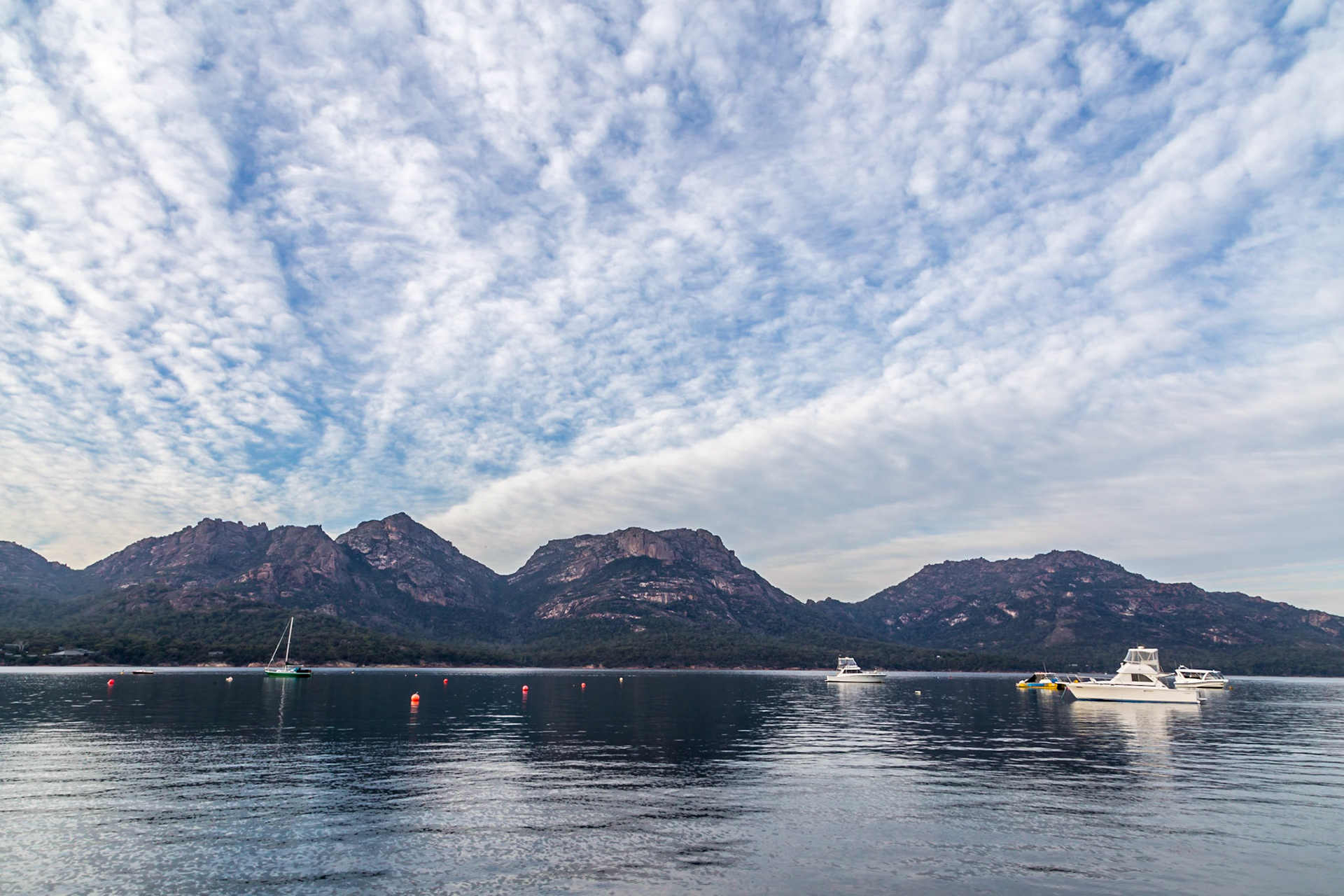
From the Coles Bay Jetty, looking across to The Hazards hills.
Coles Bay in early morning light
Boat Sheds, Coles Bay
Pre-dawn light at The Glutch, Bicheno.
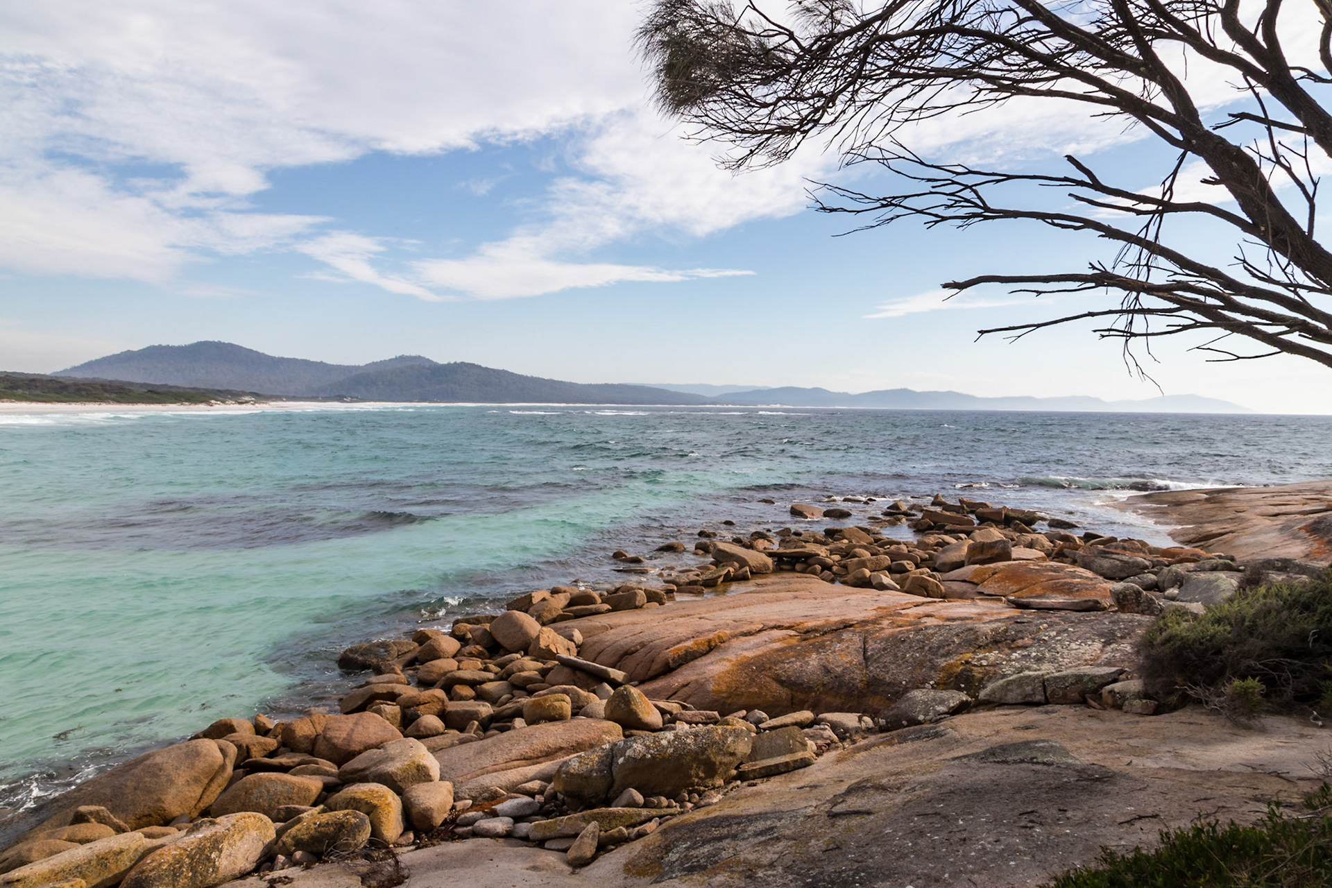
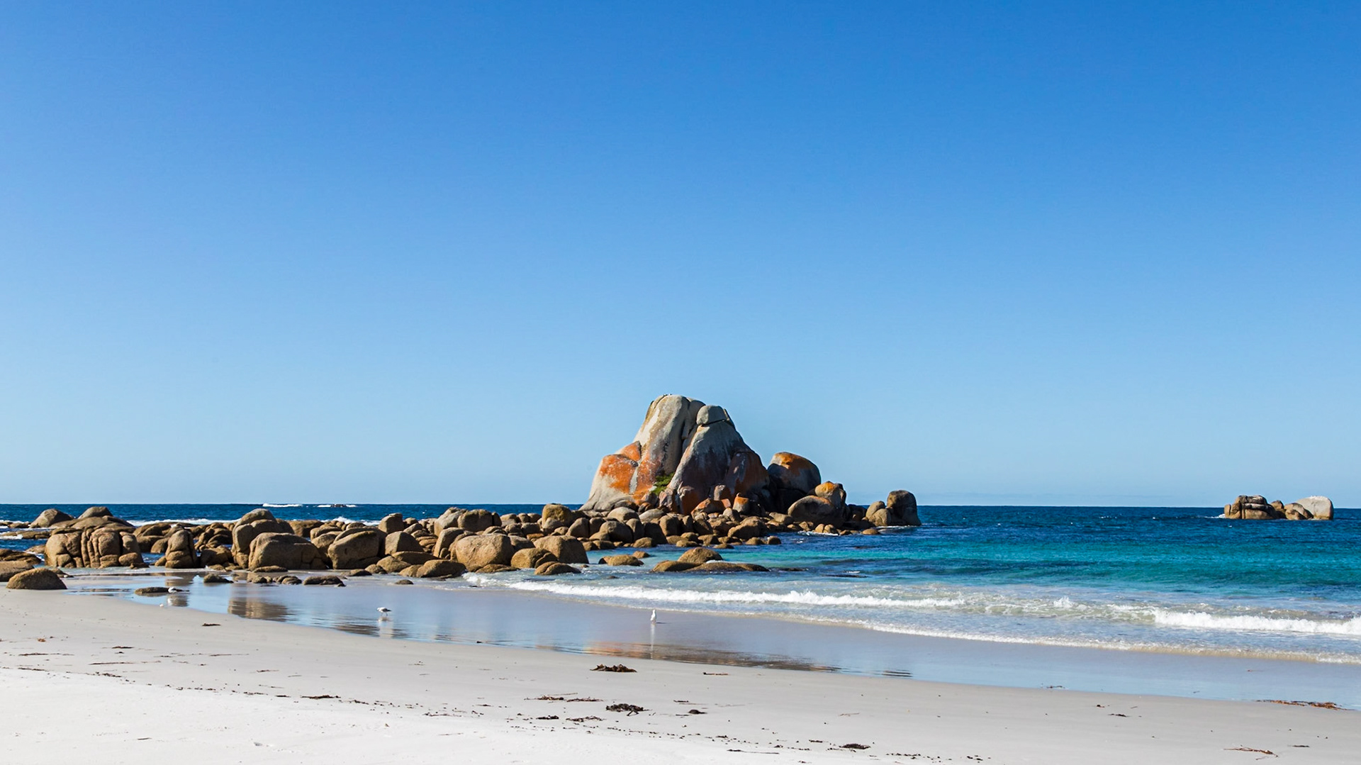
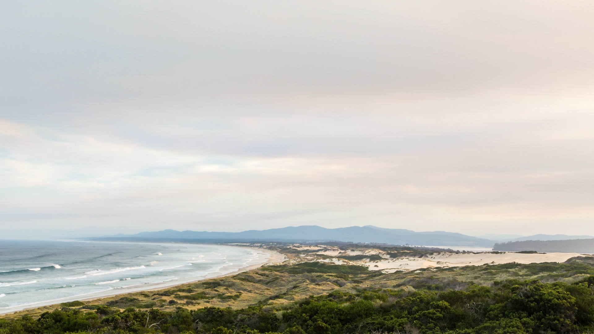
Southern end of Friendly Beaches; from Friendly Point. Coles Bay Conservation Area.
Bluestone Bay. Coles Bay Conservation Area.
Along the Friendly Beaches, south to Friendly Point. Coles Bay Conservation Area.
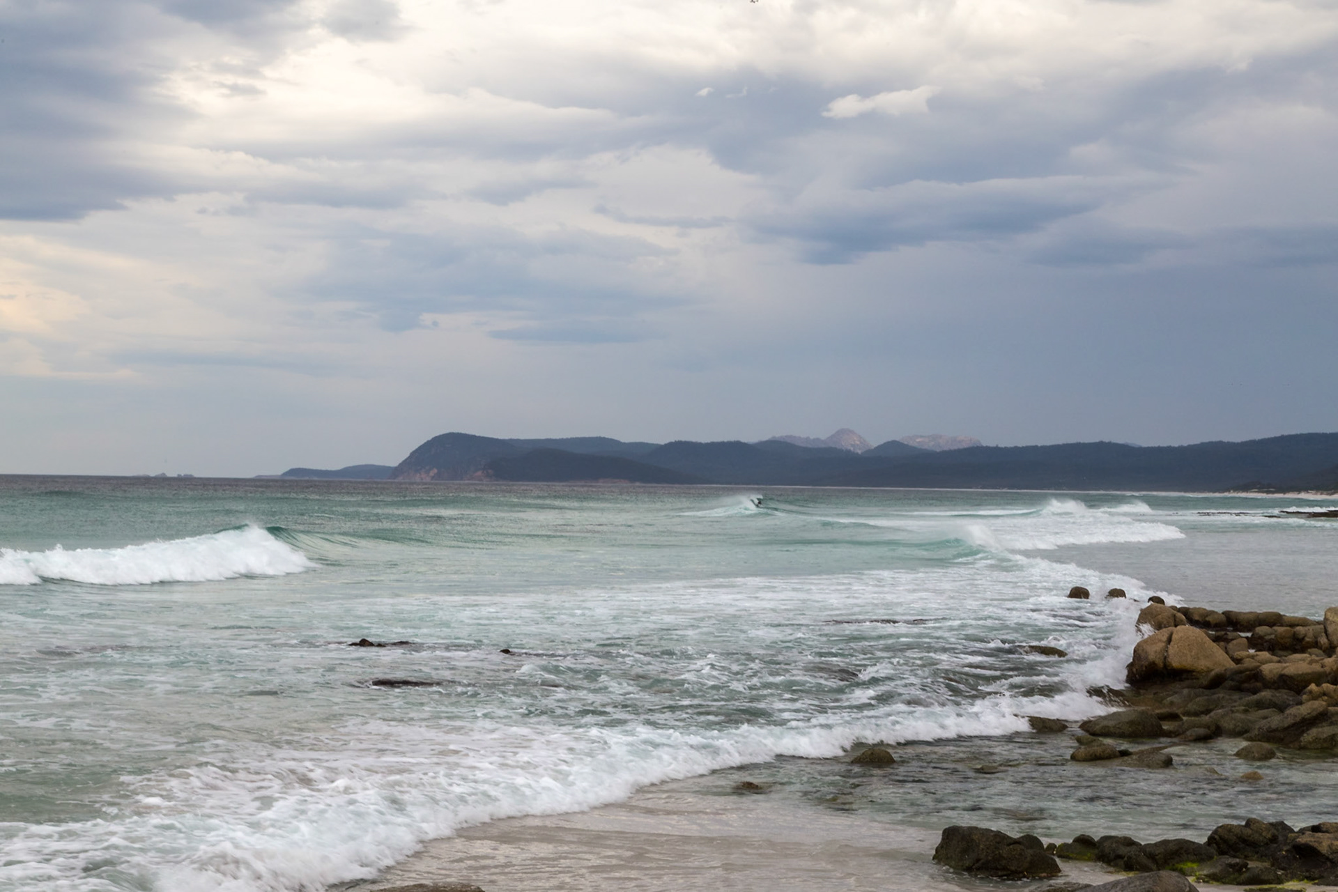
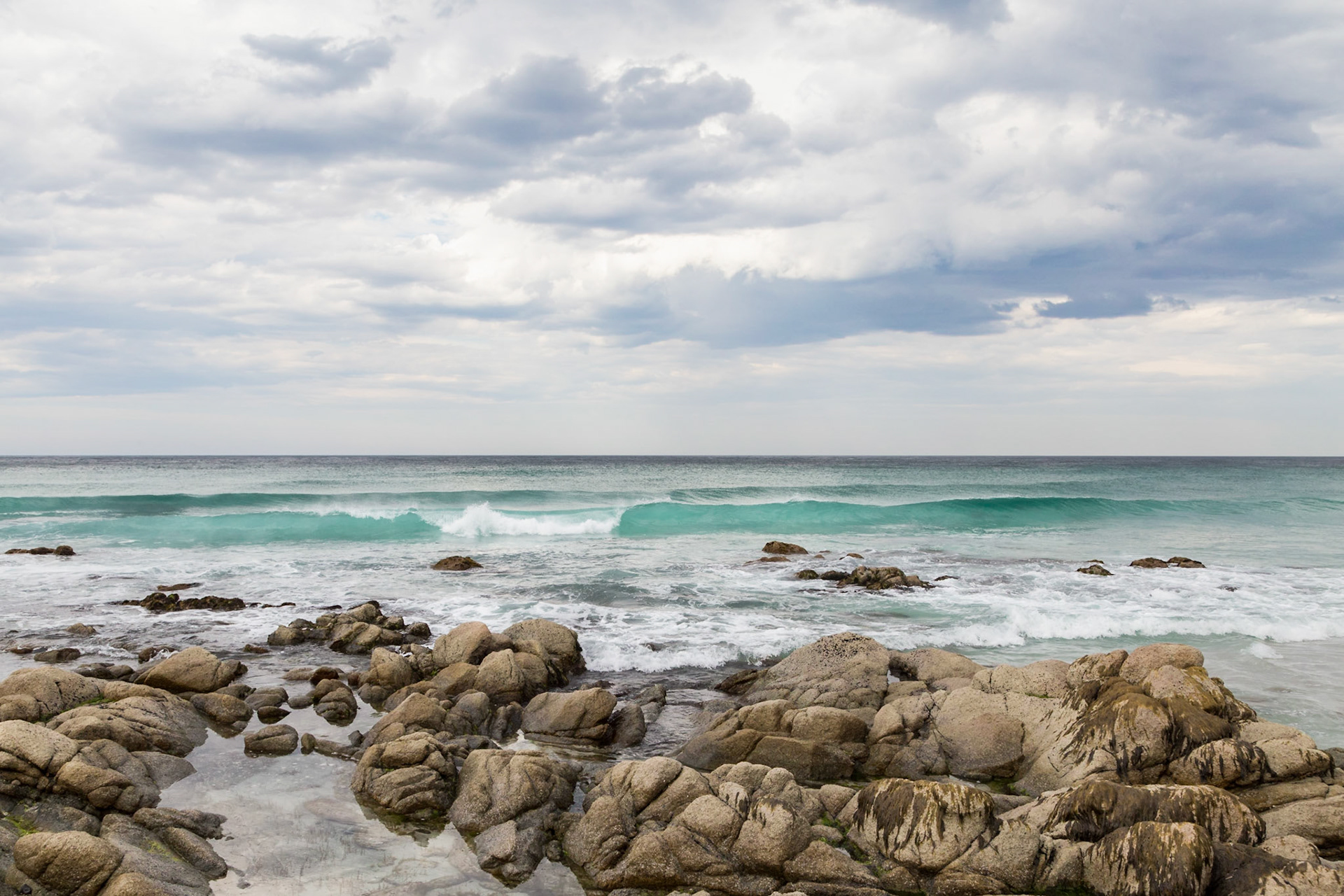
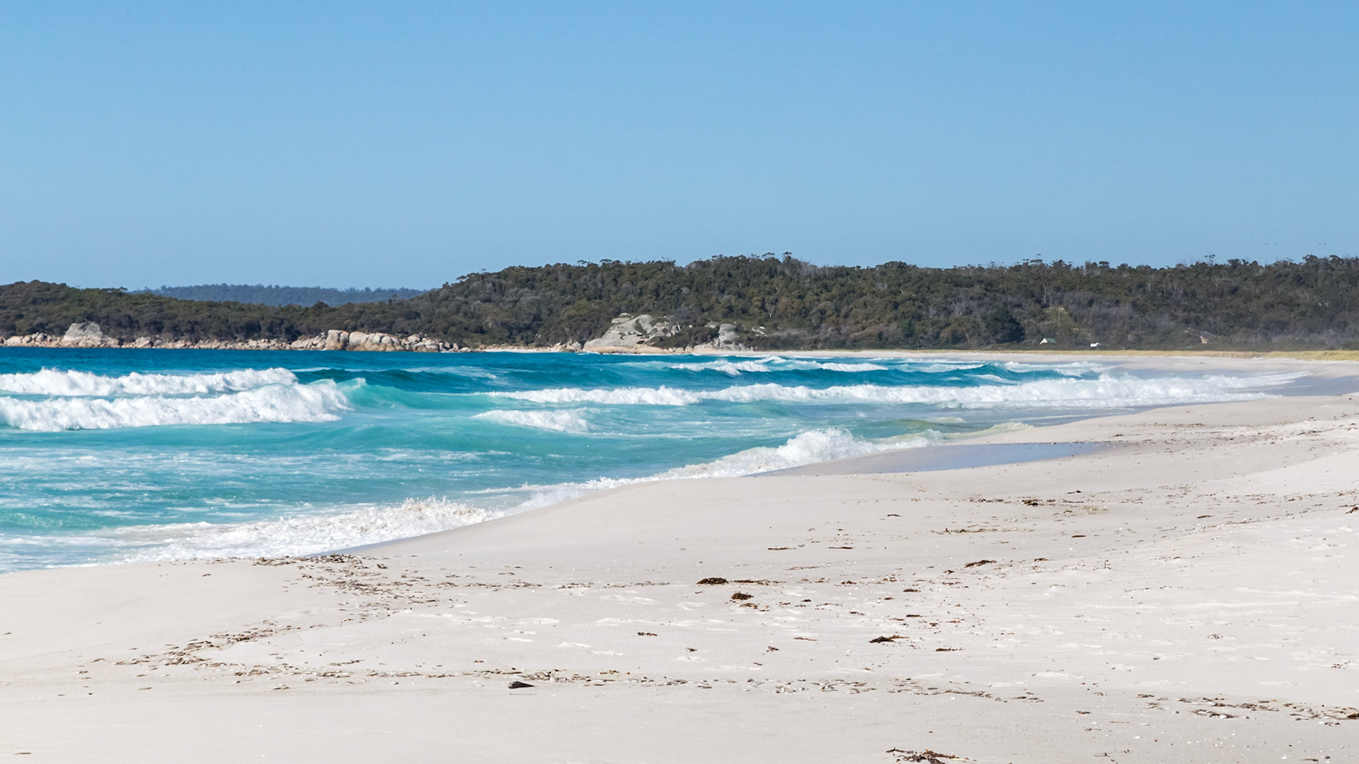
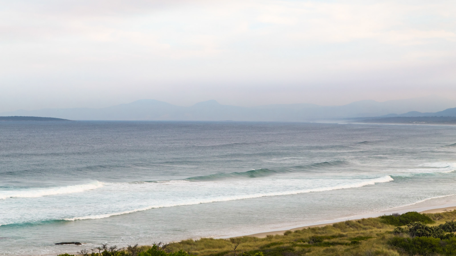
Waves coming in on Friendly Beaches
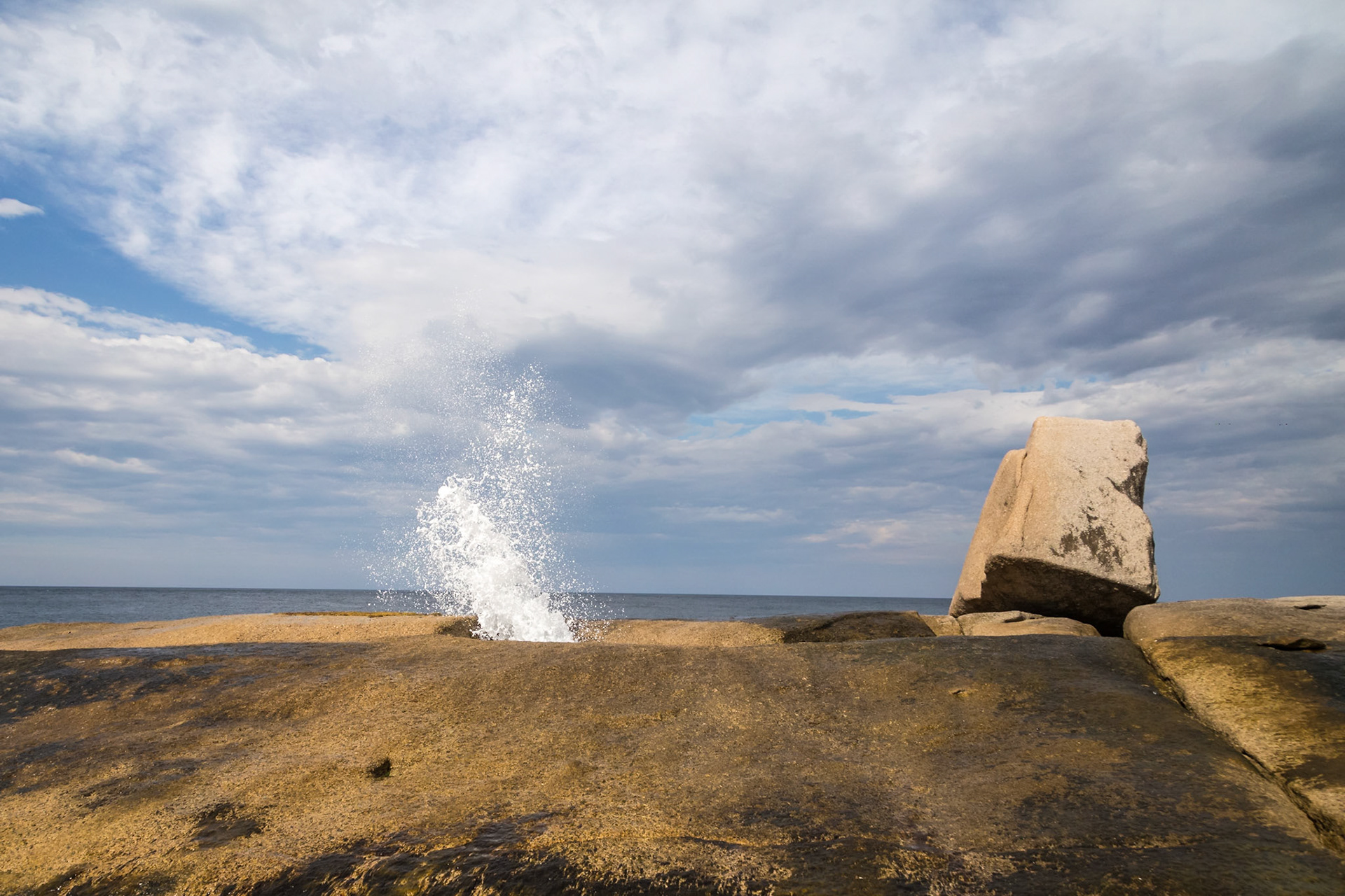
Bicheno Blowhole
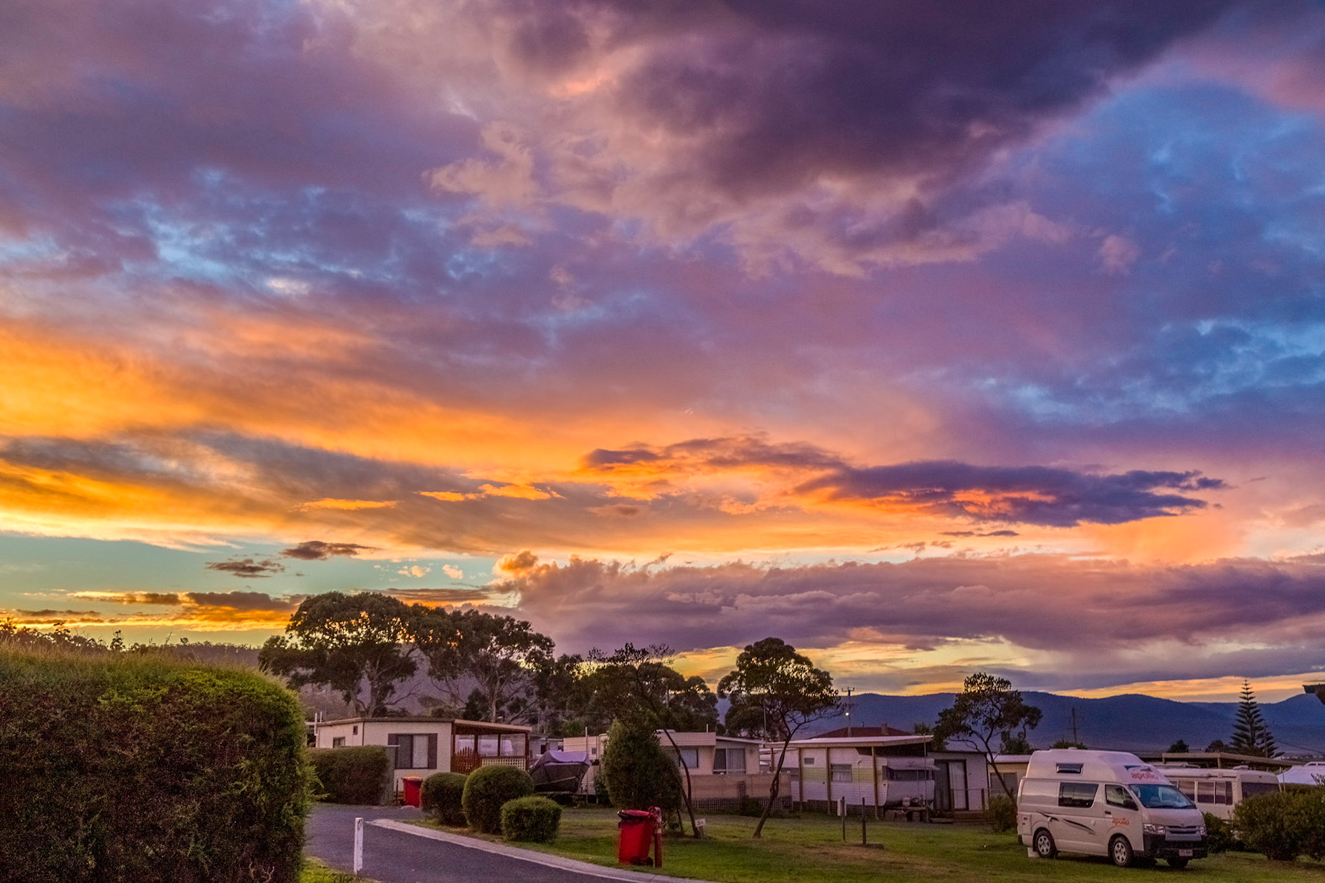
Sunset from the Bicheno East Coast Holiday Park
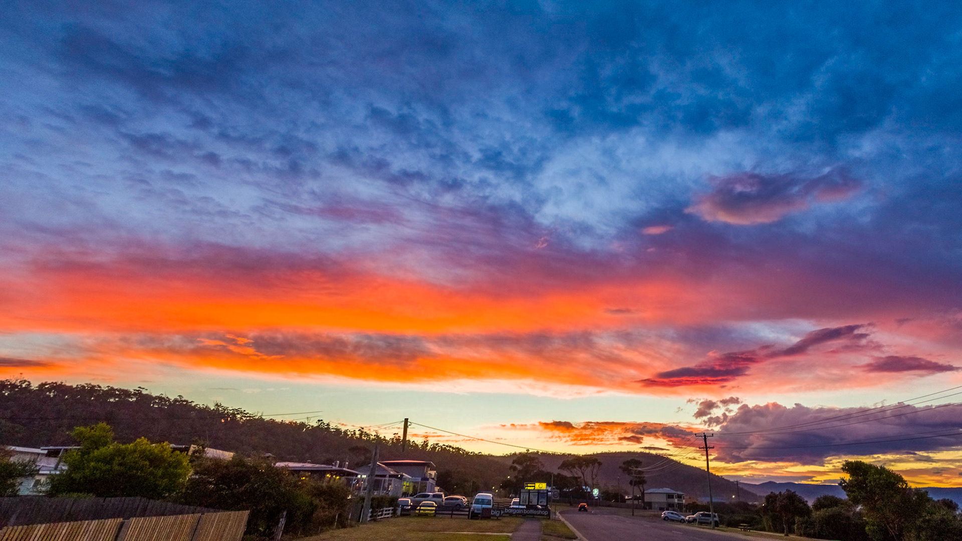
Sunset down the Tasman Highway, Bicheno. A little too late getting myself positioned and ready to get the best of this day's sunset.
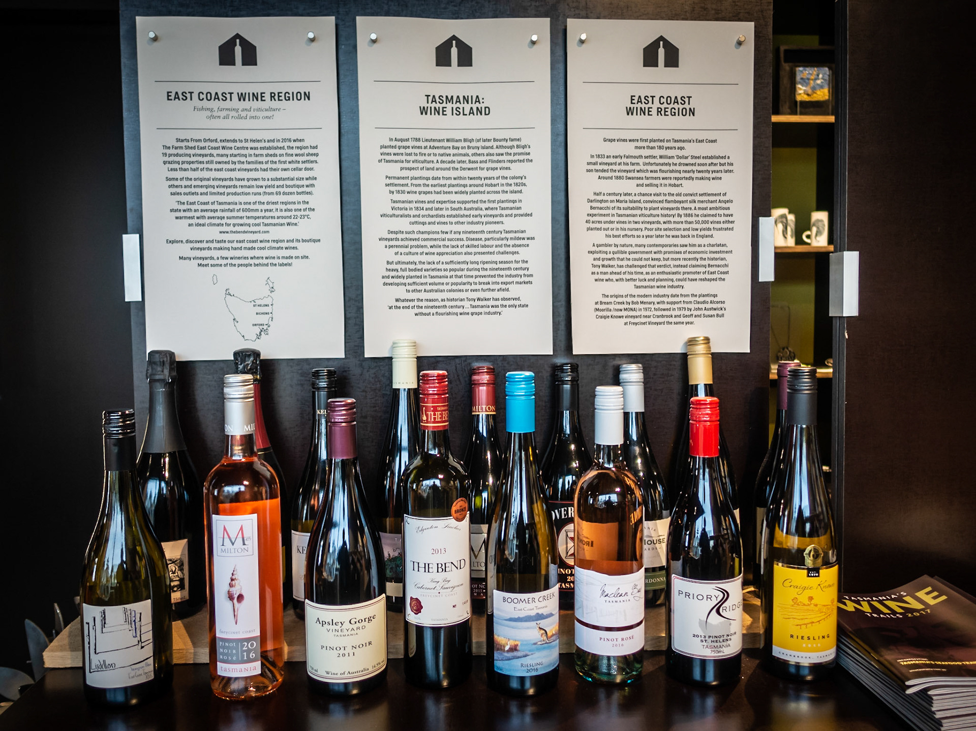
A selection of local wines. The Farm Shed - East Coast Wine Centre
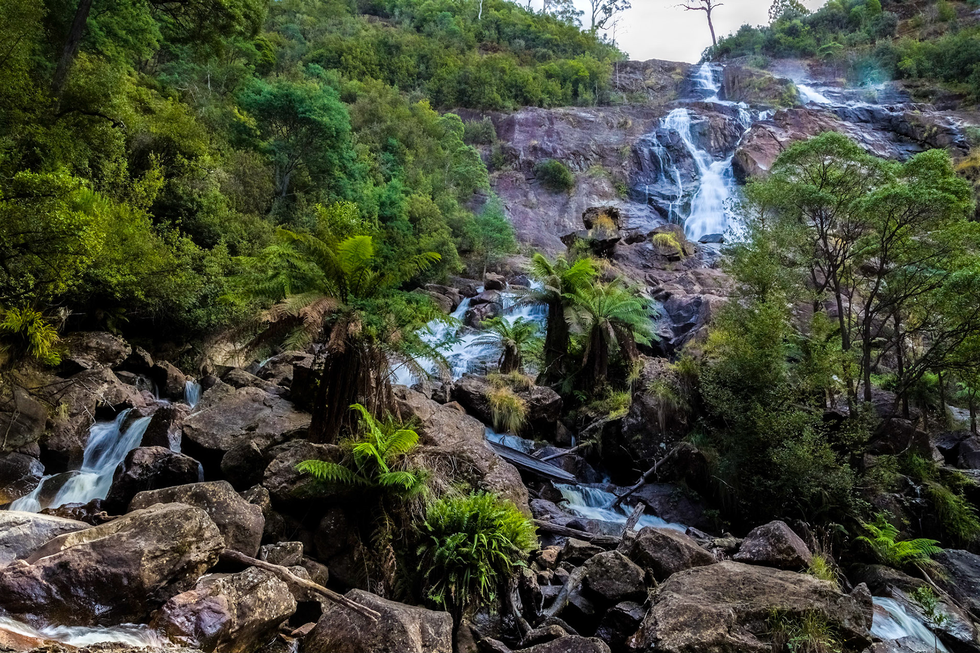
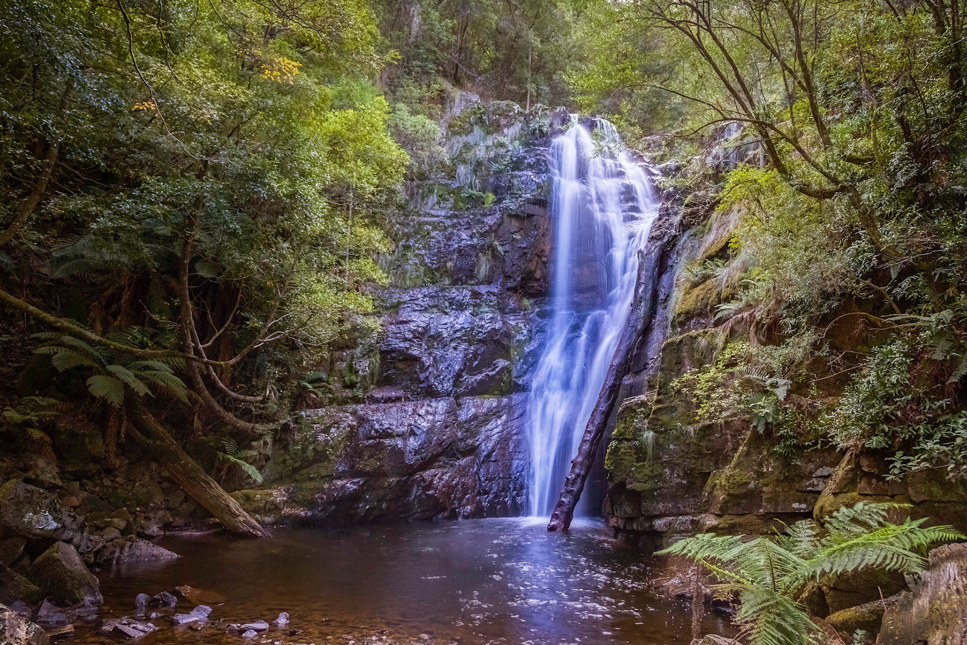
St Columba Falls. St Columba Falls State Reserve
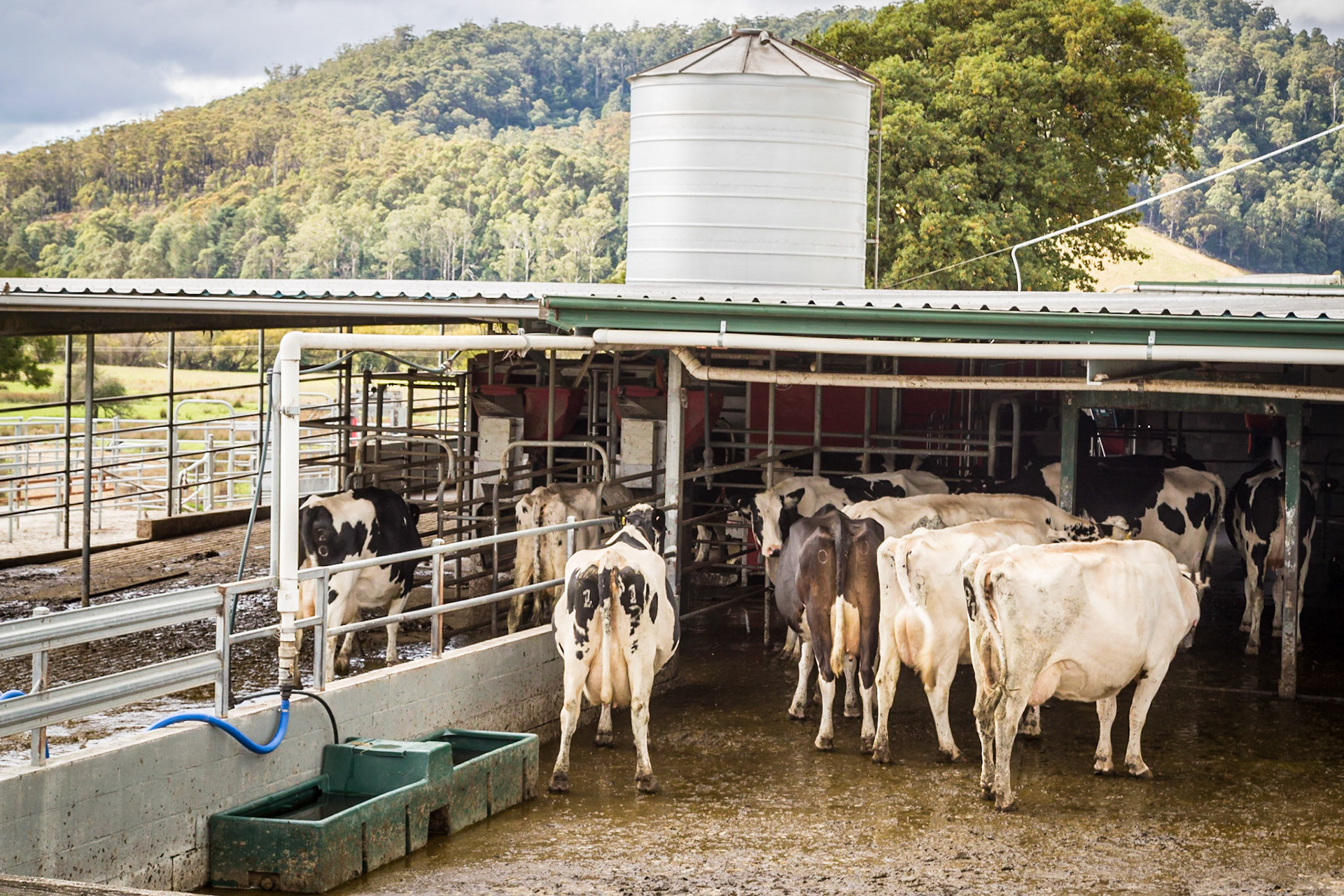
Cows ready for milking at Pyrengana Dairy Company
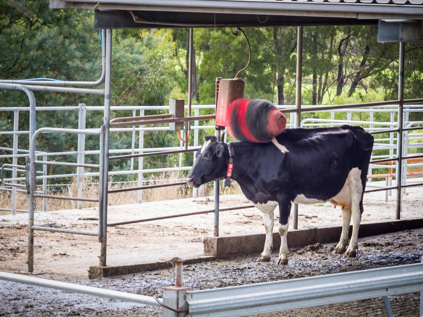
Cow Rotating Back-scratcher. The dairy at the Pyrengana Dairy Company
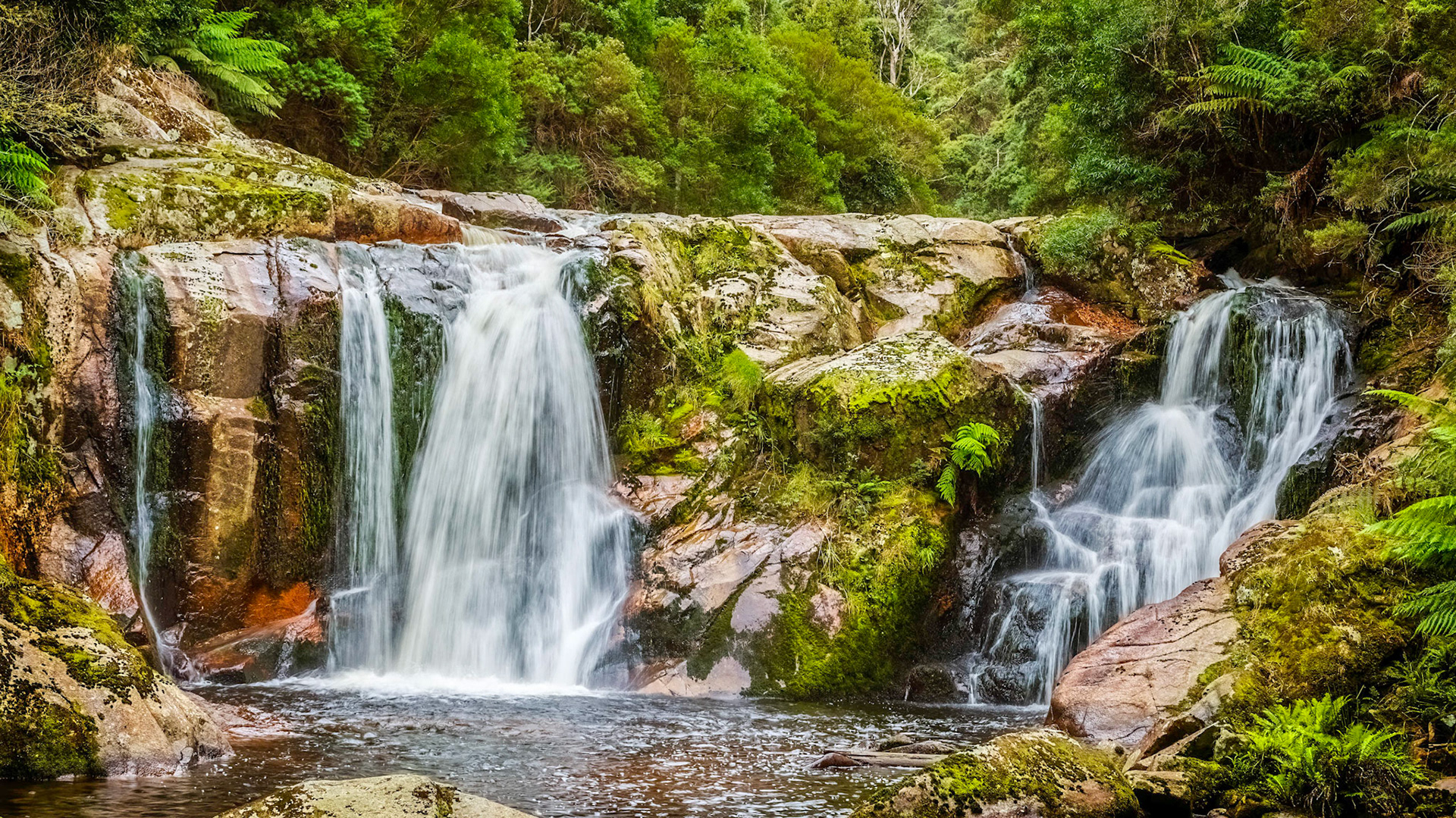
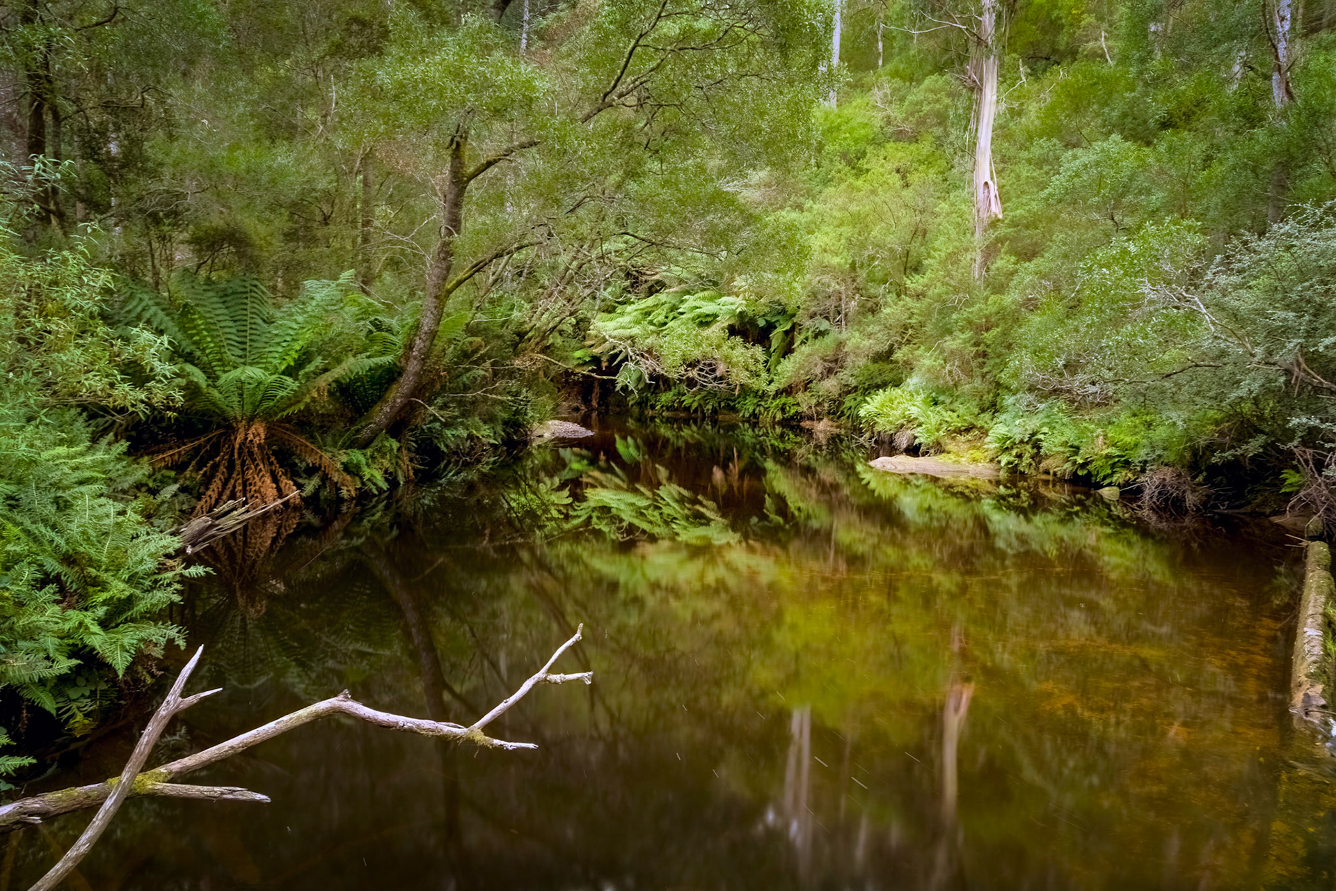
Halls Falls, Groom River
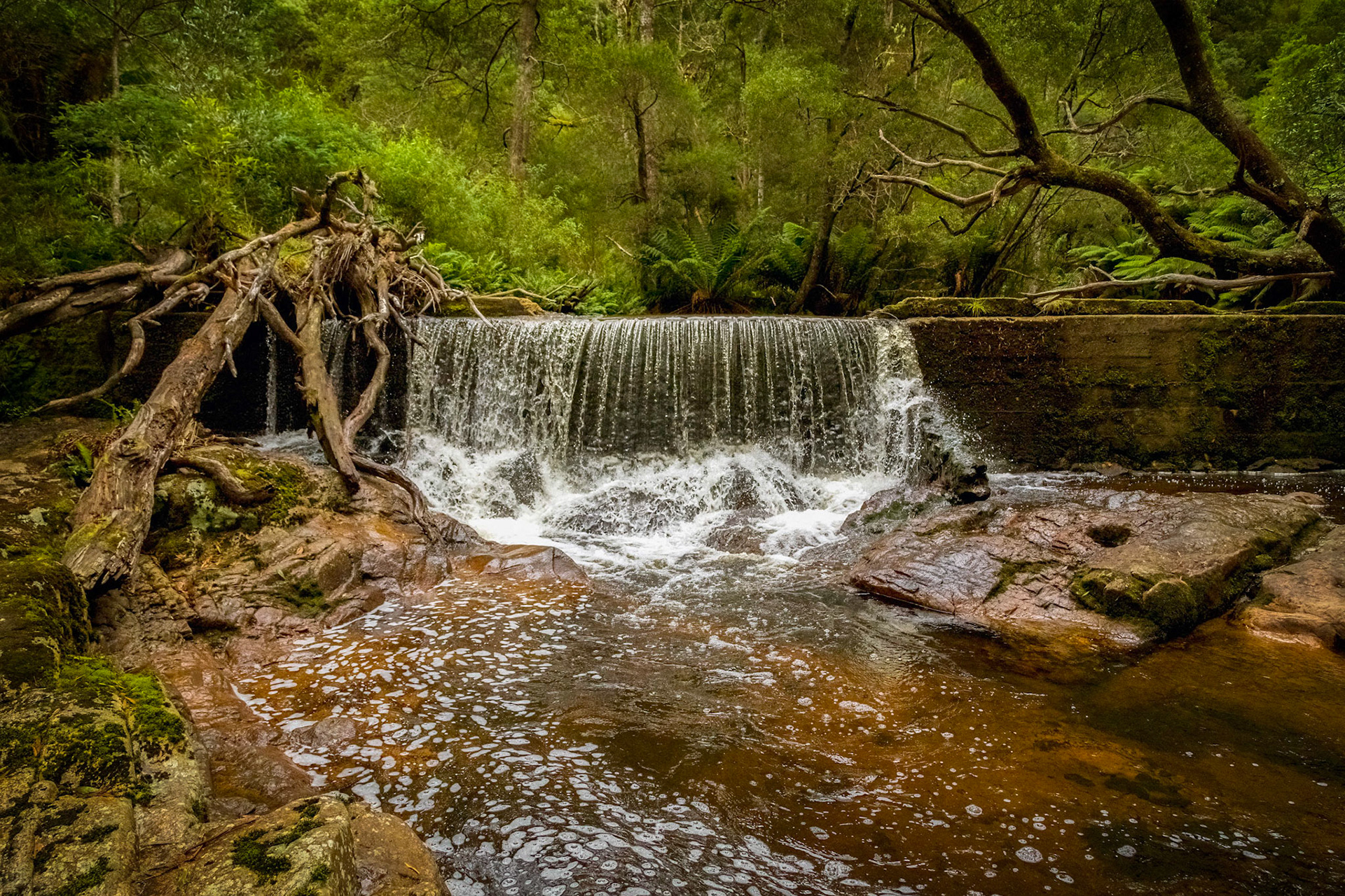
The Weir, Groom River
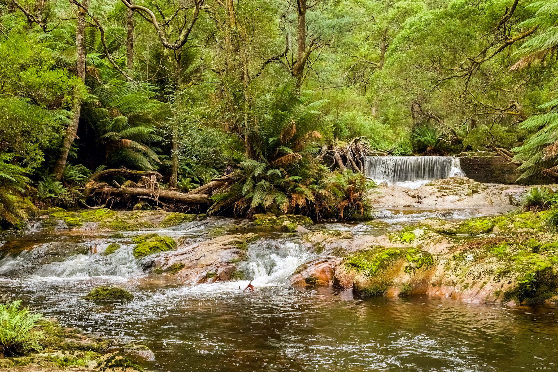
Water Pool above the Groom River weir
Weir Overflow
Fingal. St Joseph's Roman Catholic Church (1880)
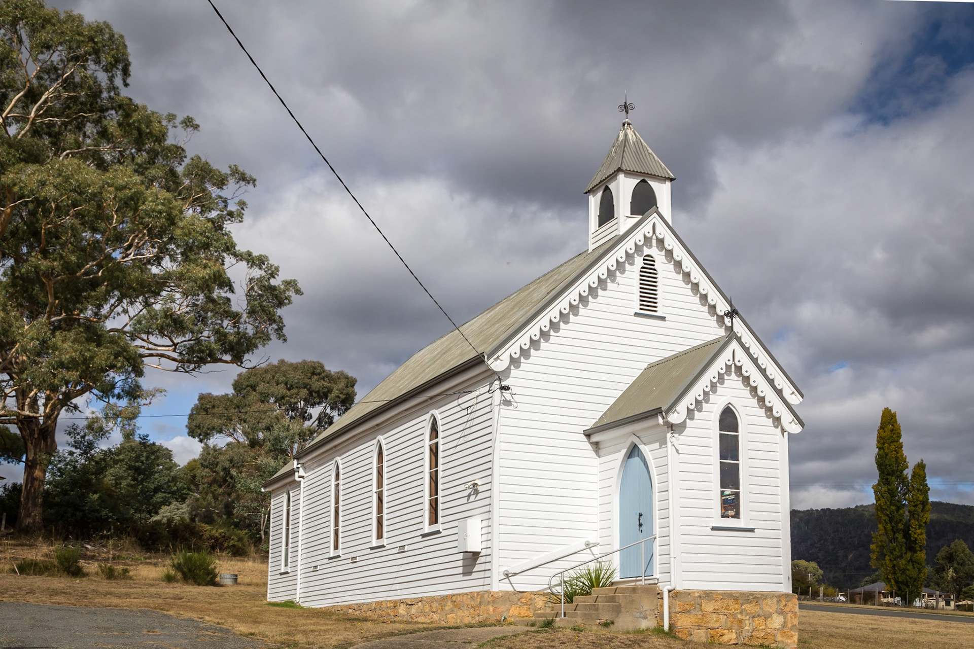
Fingal. Wooden church, formerly Presbyterian, now Uniting Church.
Mathinna Falls, Delvin Creek
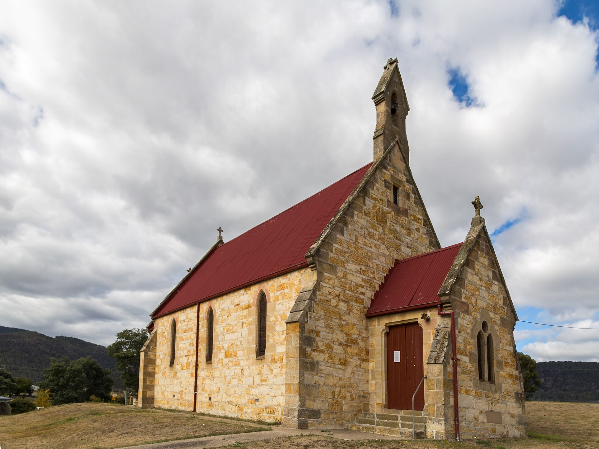
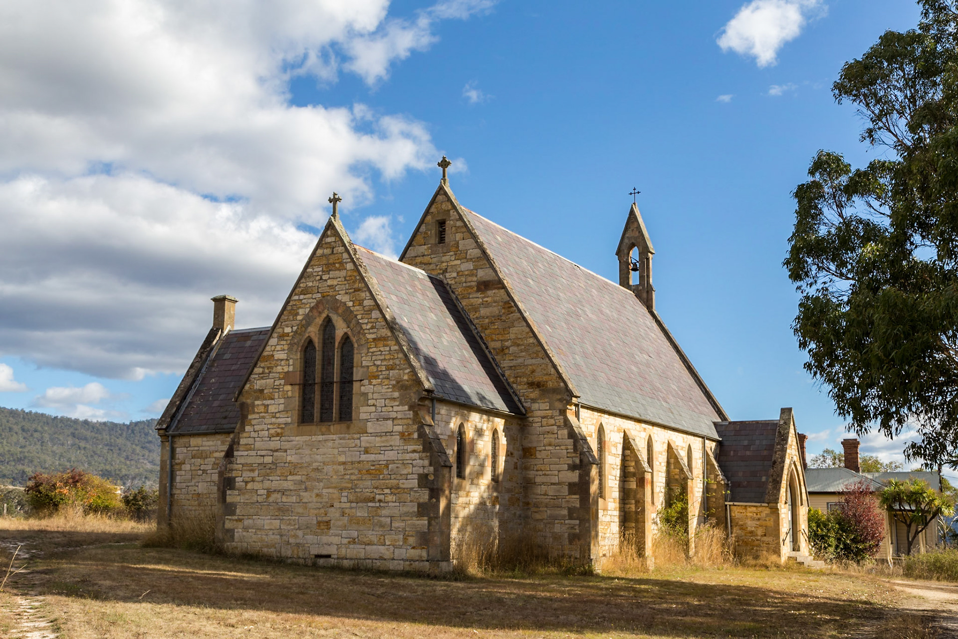
St Peter's Anglican Church (1867). The town of Fingal's oldest church, now in much need of repair.
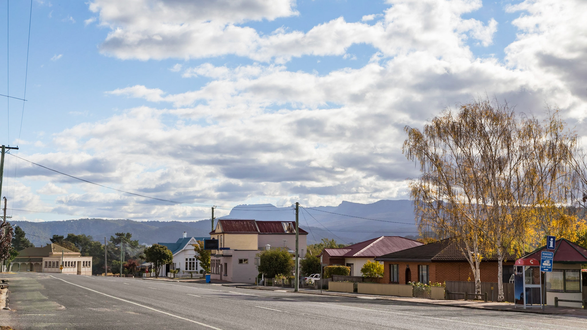
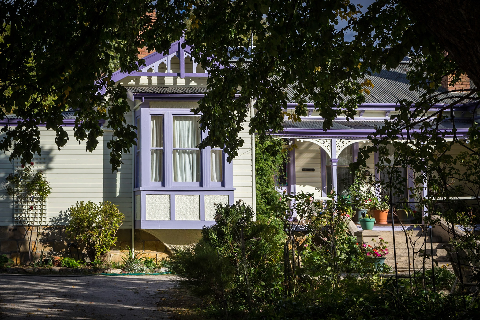
Fingal. Row of eclectic buildings from earlier times
Ragged peaks of the Ben Lomond National Park form a background to Fingal
Mayfield Manor B&B, on the highway through Fingal.
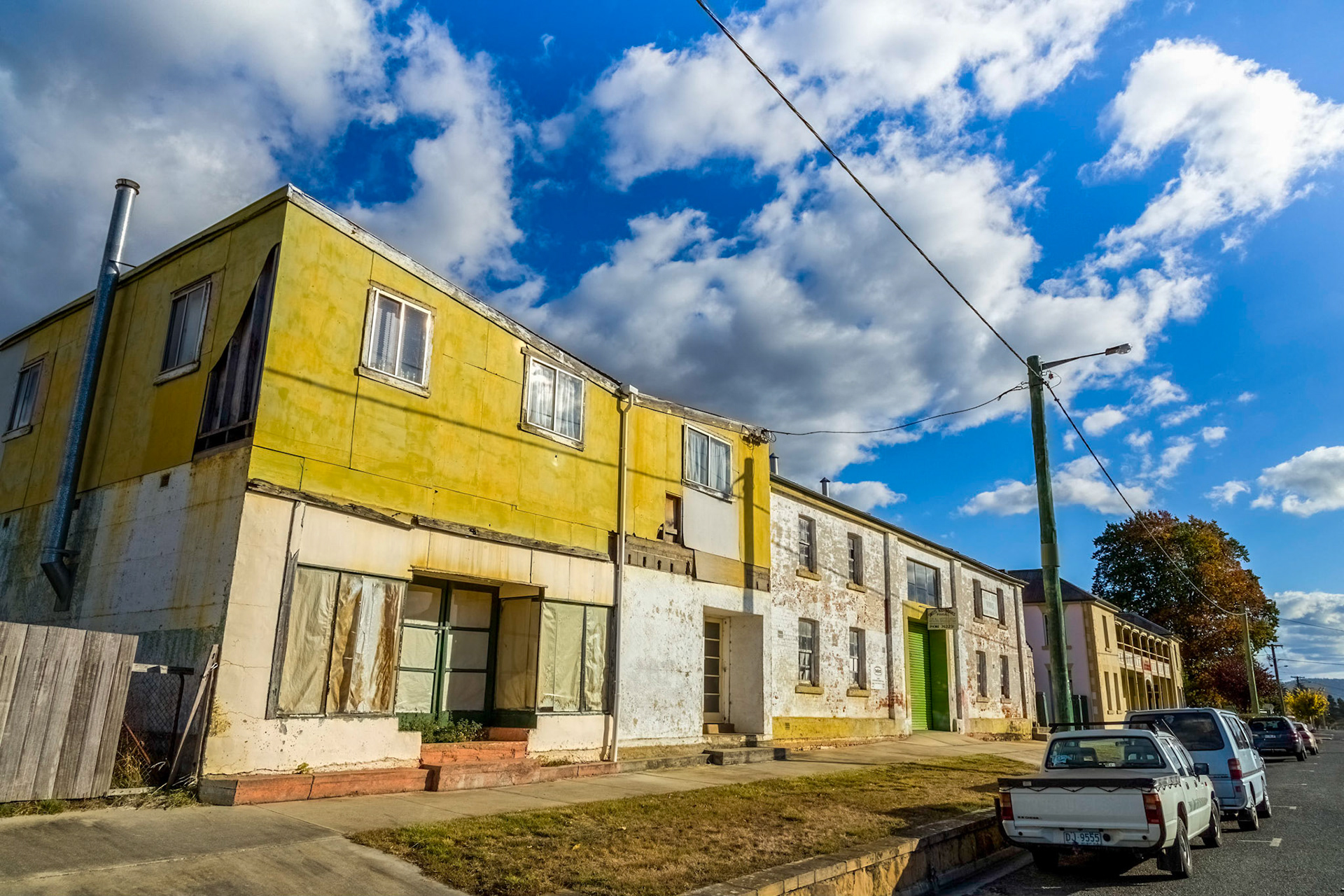
Decaying Building Relics of a Earlier Thriving Township. Along the Esk Highway as it passes through the town centre of Fingal.
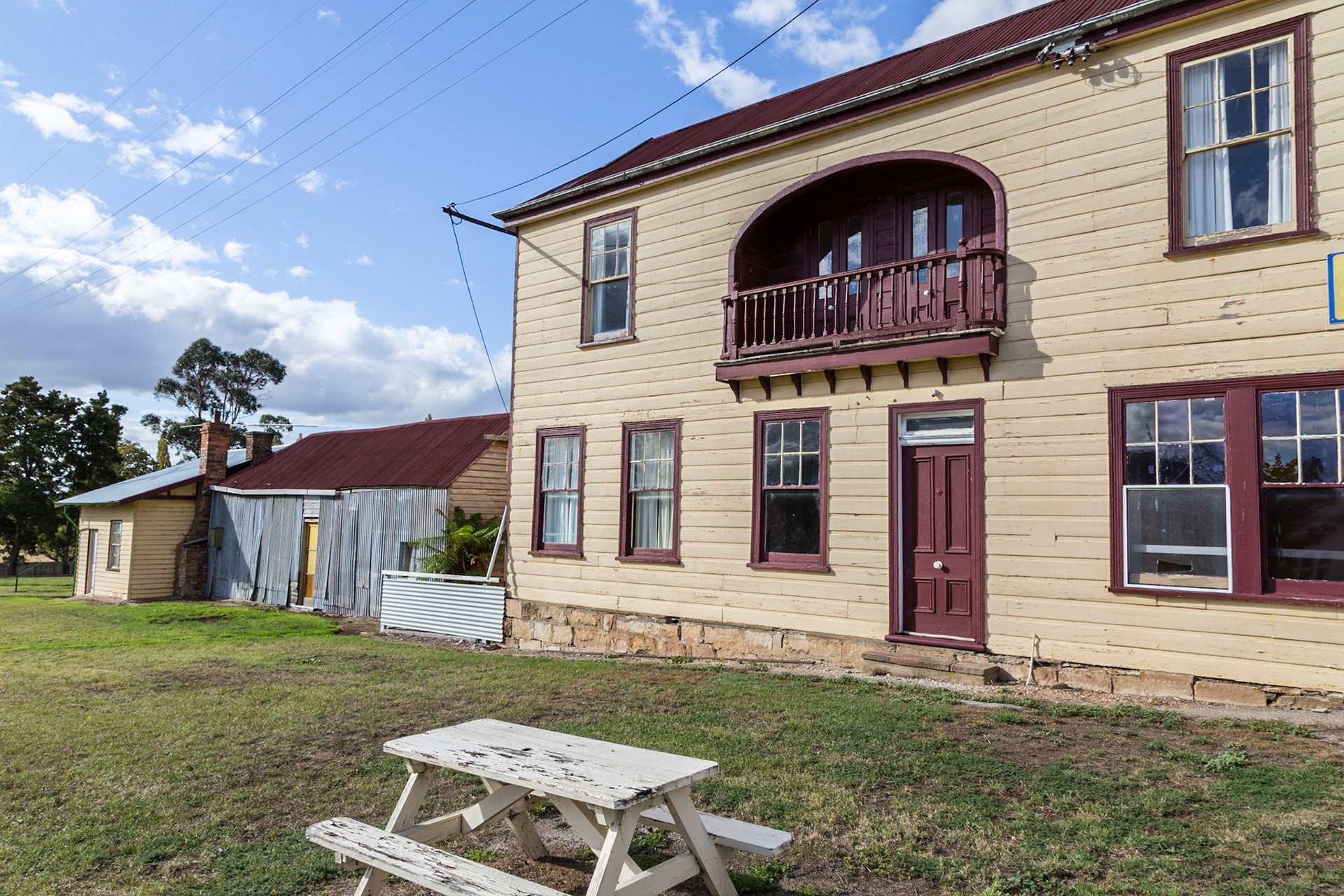
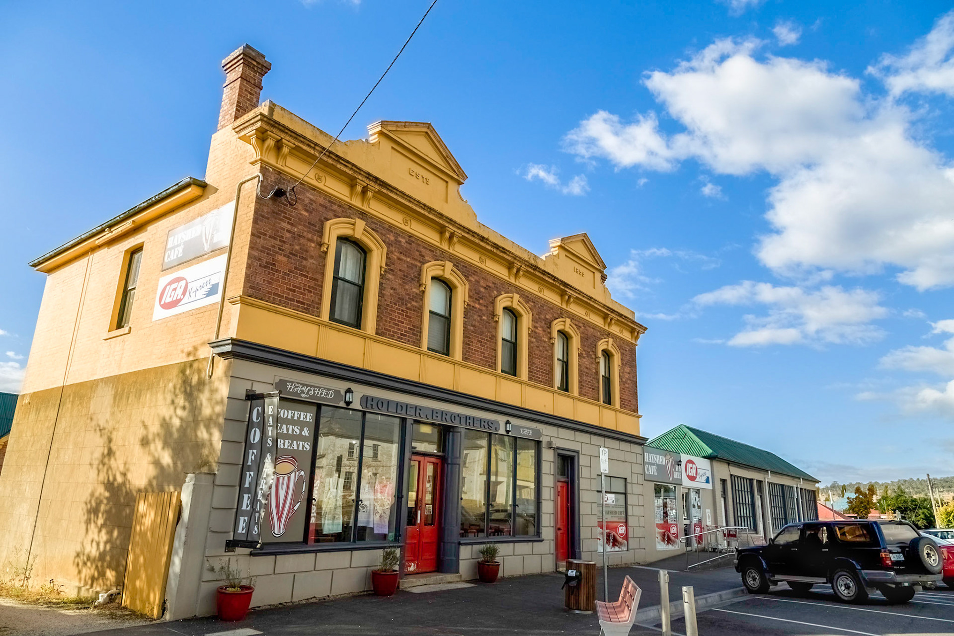
Fingal. Holder Brother's Store (1859). Established originally as a one storey stone house, later a three storey house and stable were built (1885) and then a top storey of seven rooms added later (1894). Now a part of the town's IGA supermarket.
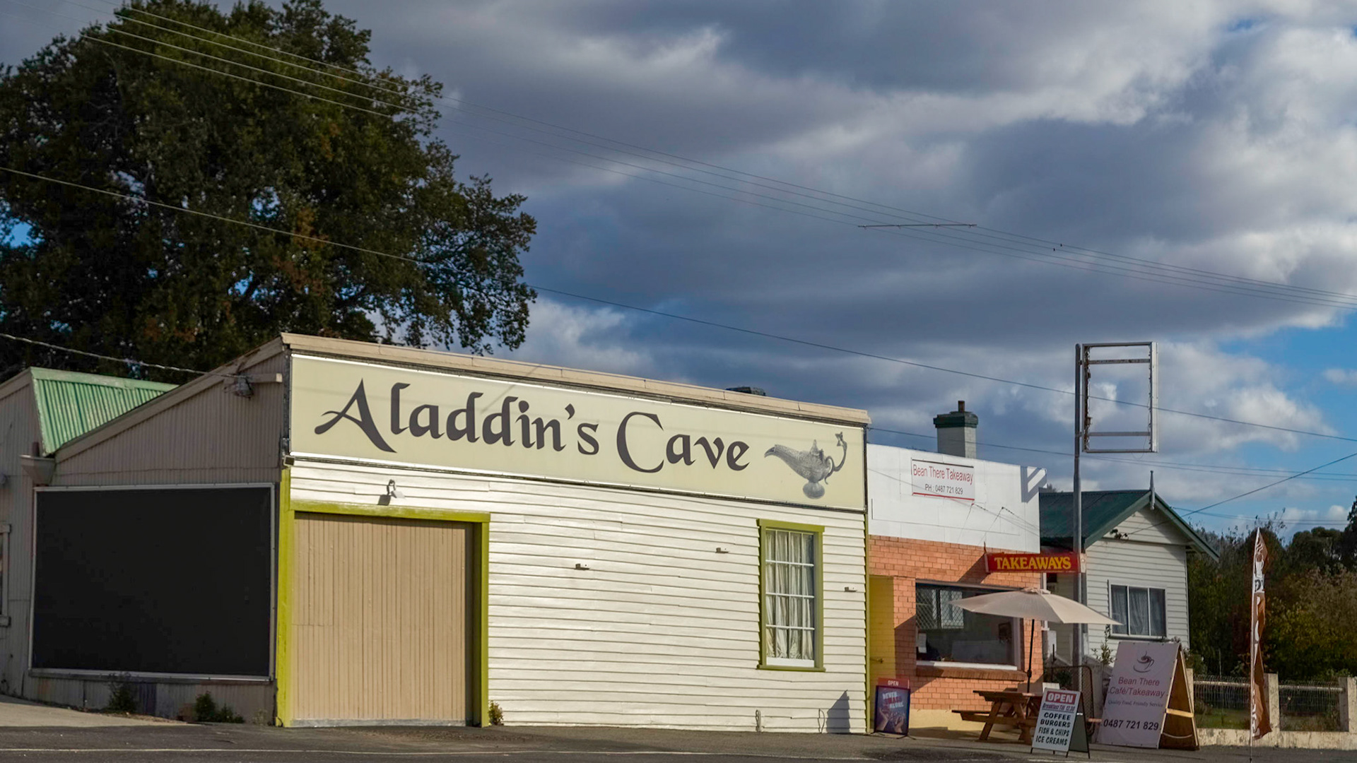
In Fingal
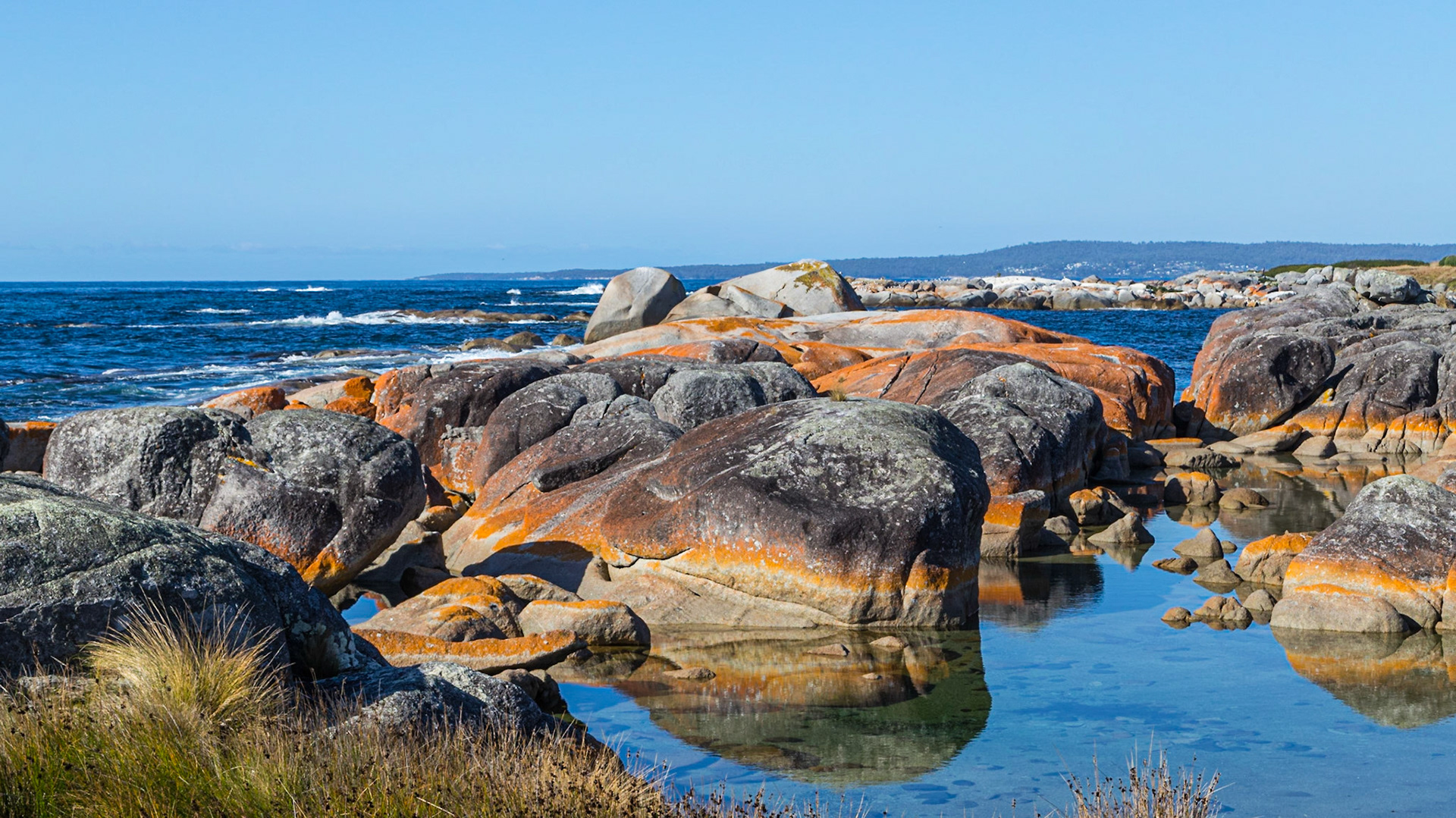
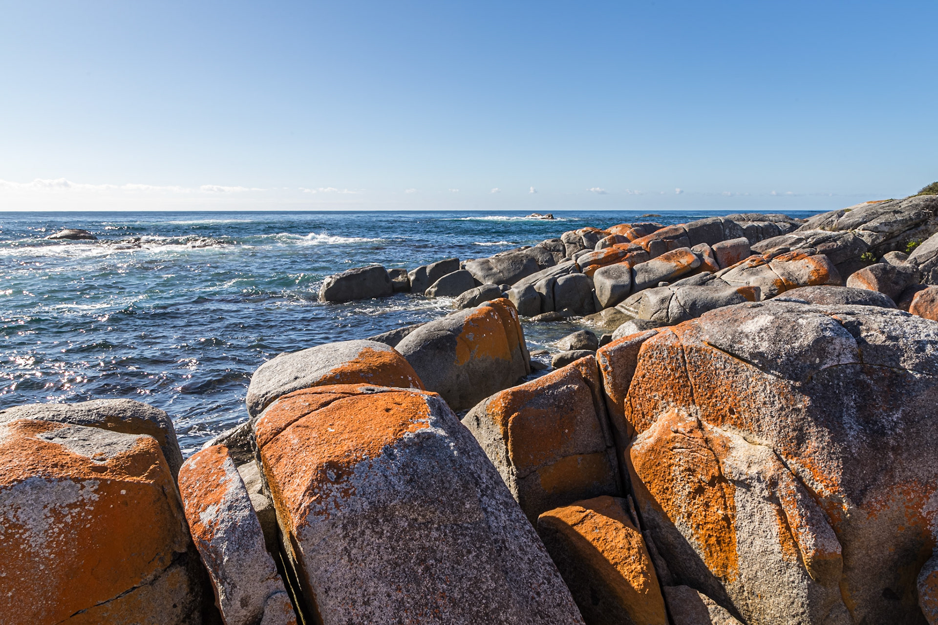
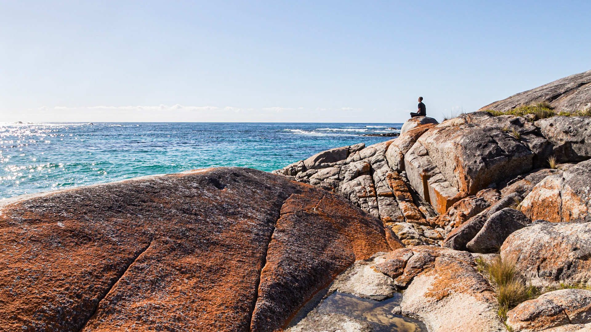
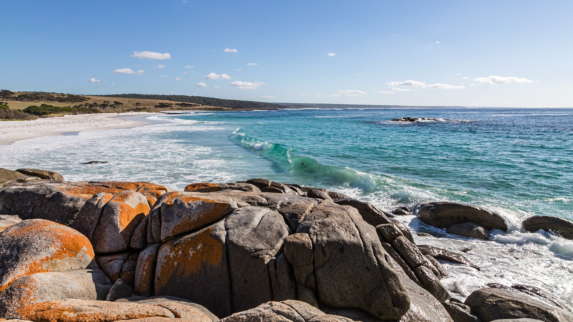
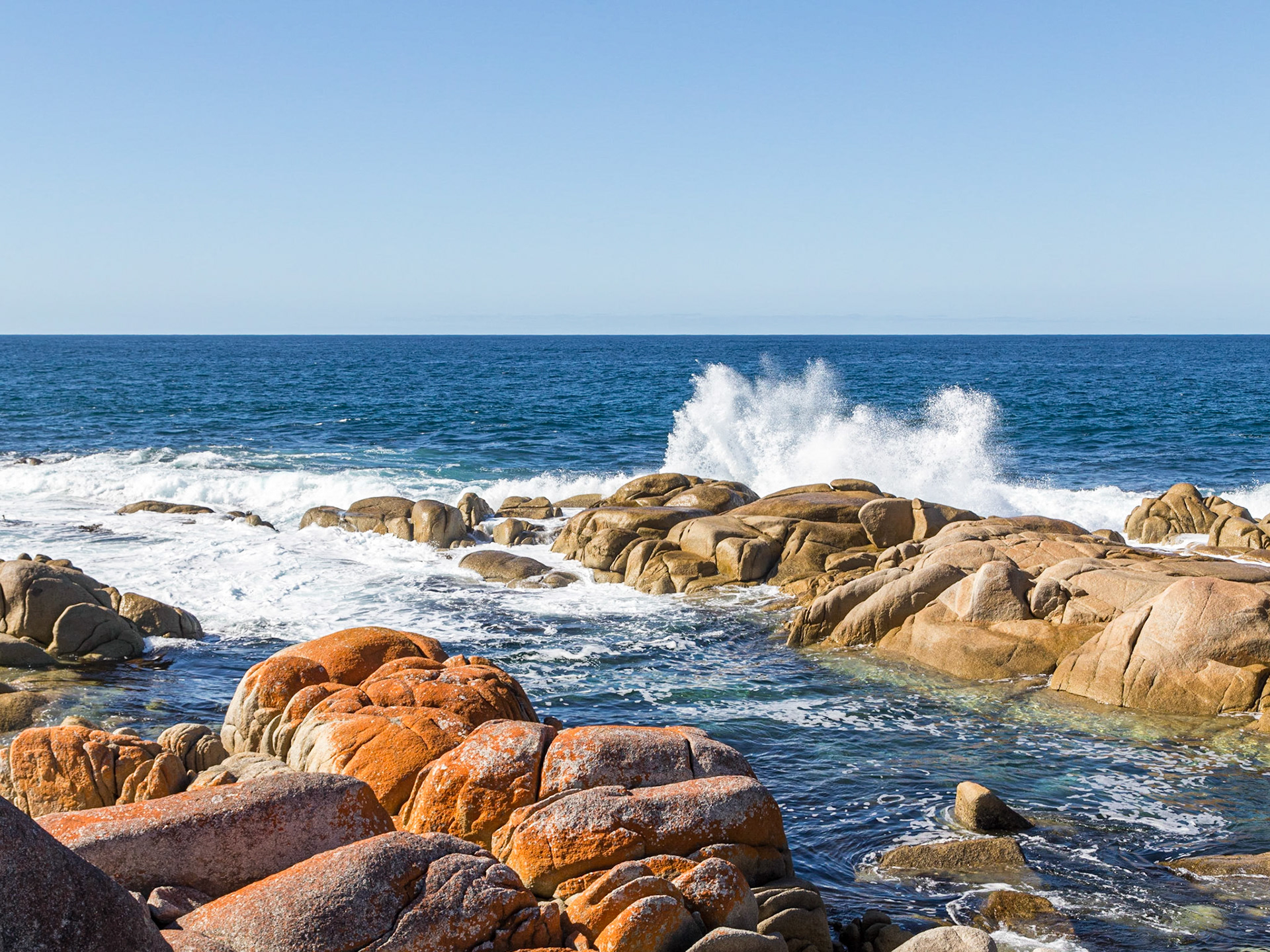
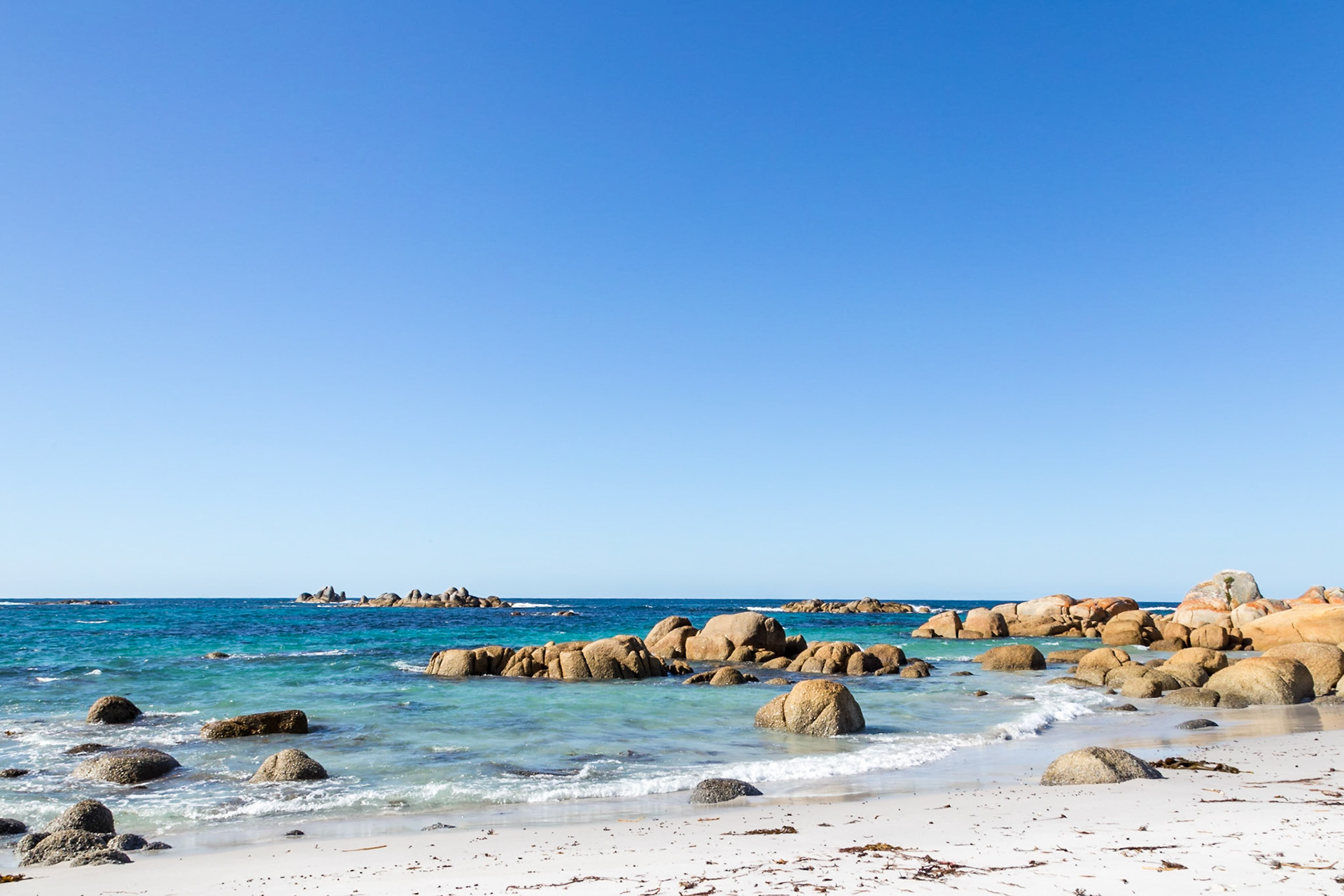
Bay of Fires - Colourful lichen on coastal boulders
Bay of Fires - Colourful lichen on coastal boulders
Bay of Fires - Colourful lichen on coastal boulders
Bay of Fires - Colourful lichen on coastal boulders
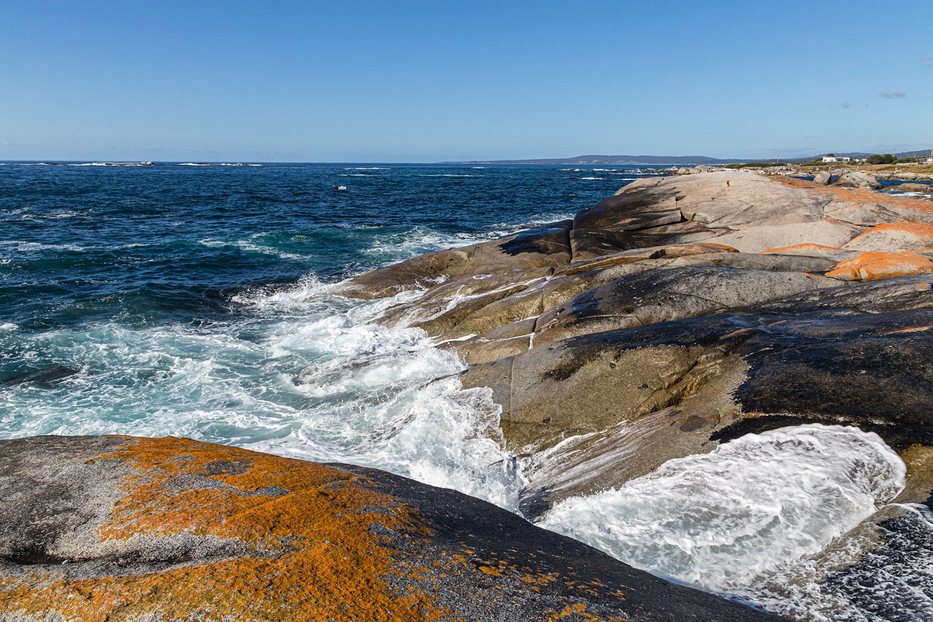
Bay of Fires - White sands and colourful lichen on coastal boulders
Bay of Fires - Waves pound on Taylors Beach
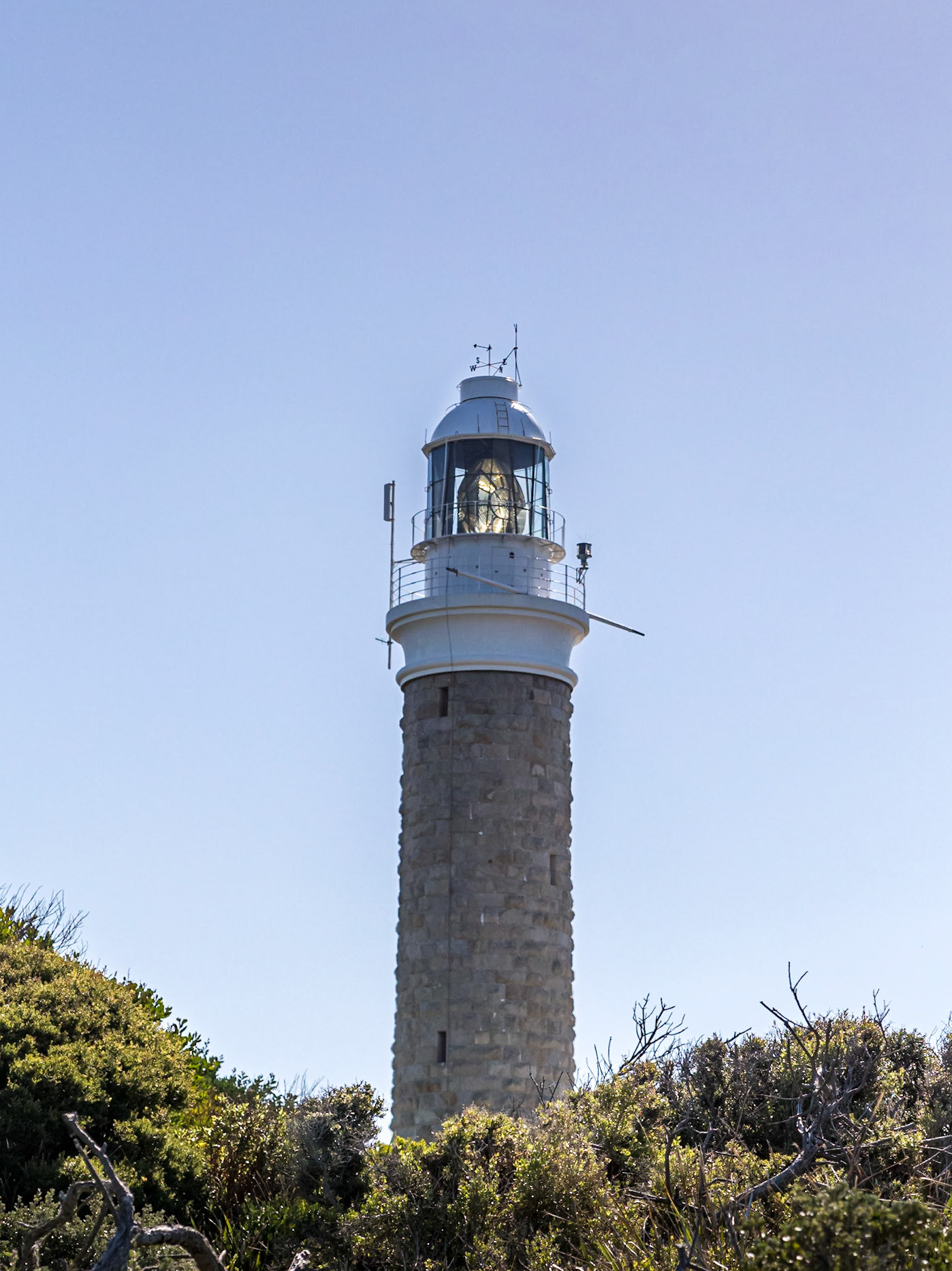
Former lighthouse keeper's house, Eddystone Point.
Eddystone Point Lighthouse. Larapuna Aboriginal Land / Mount William National Park
Eddystone Point, Bay of Fires - Colourful lichen on coastal boulders
Eddystone Point Lighthouse. Larapuna Aboriginal Land / Mount William National Park
Picnic Rocks, Eddystone
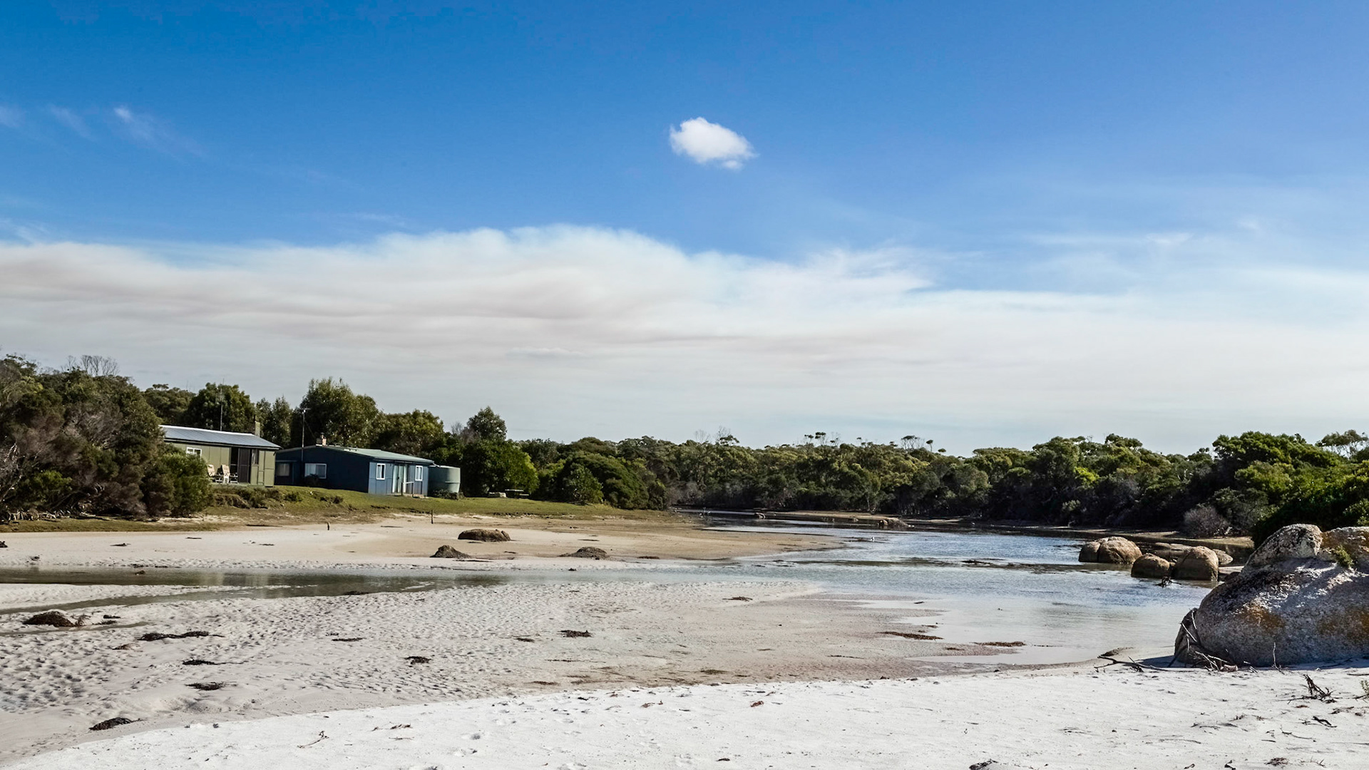
Deep Creek shacks, Eddystone
Beach Rocks at Deep Creek
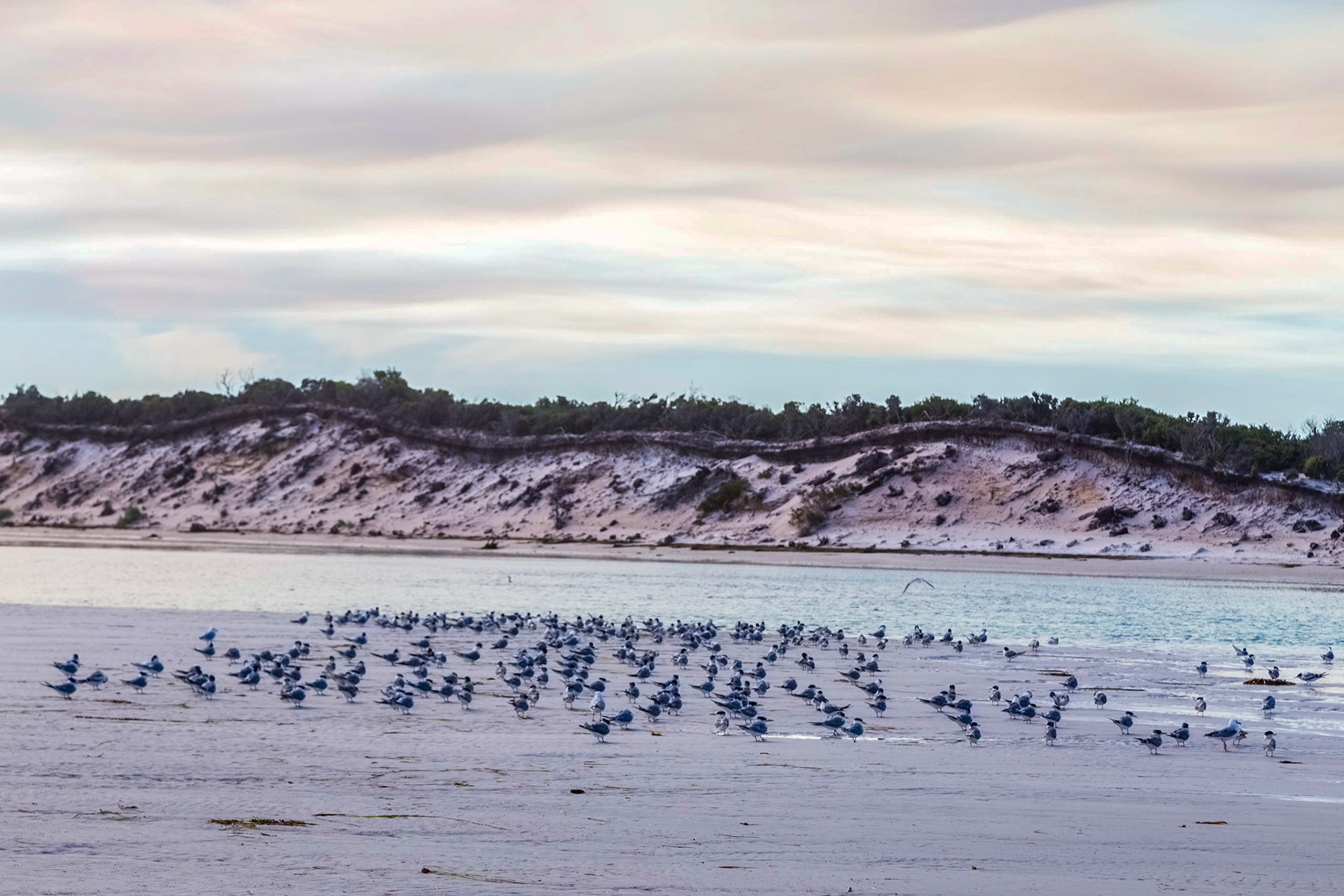
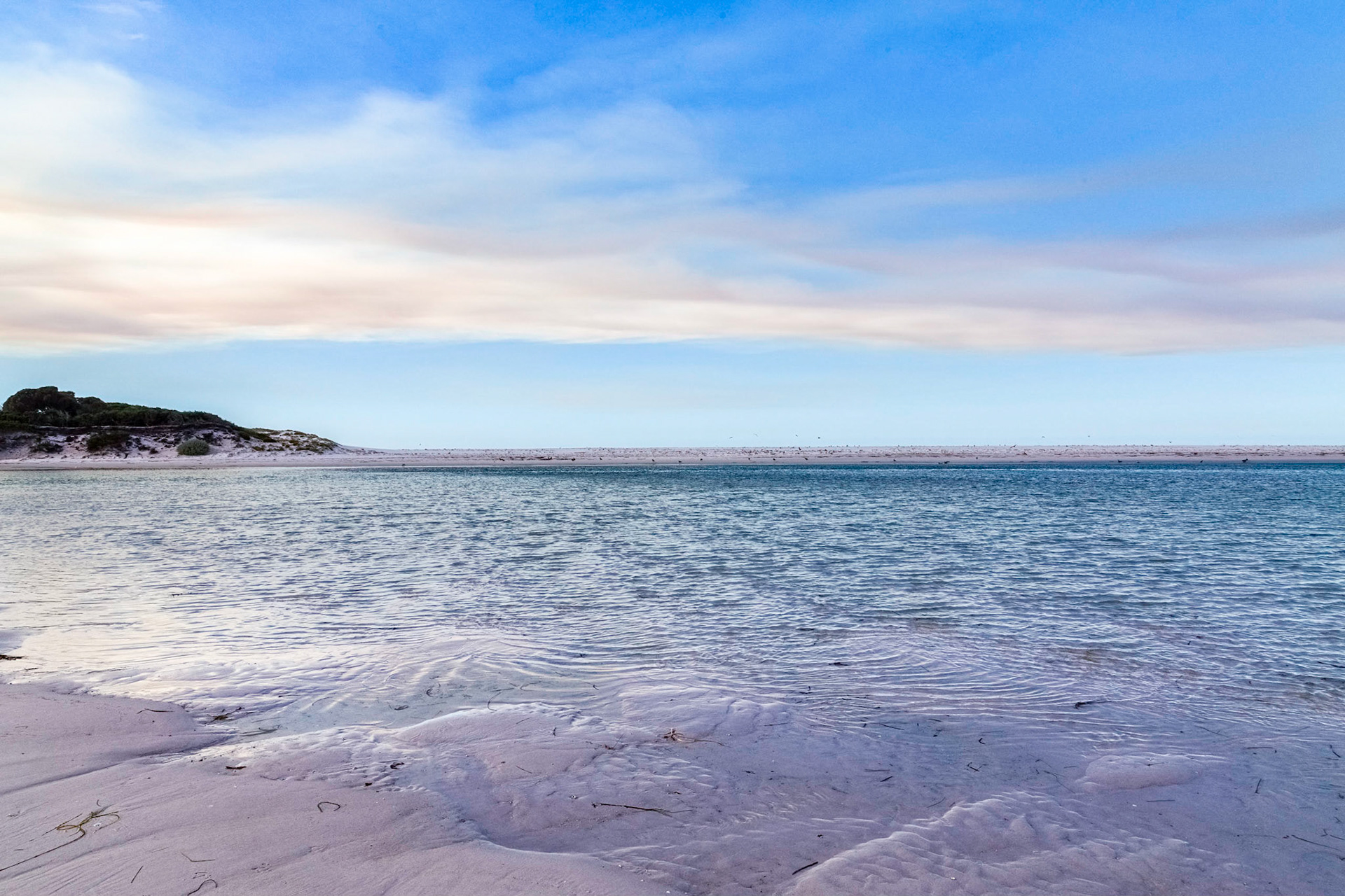
Sea birds on the sands of low tide at Policemans Point
Low Tide at Policemans Point
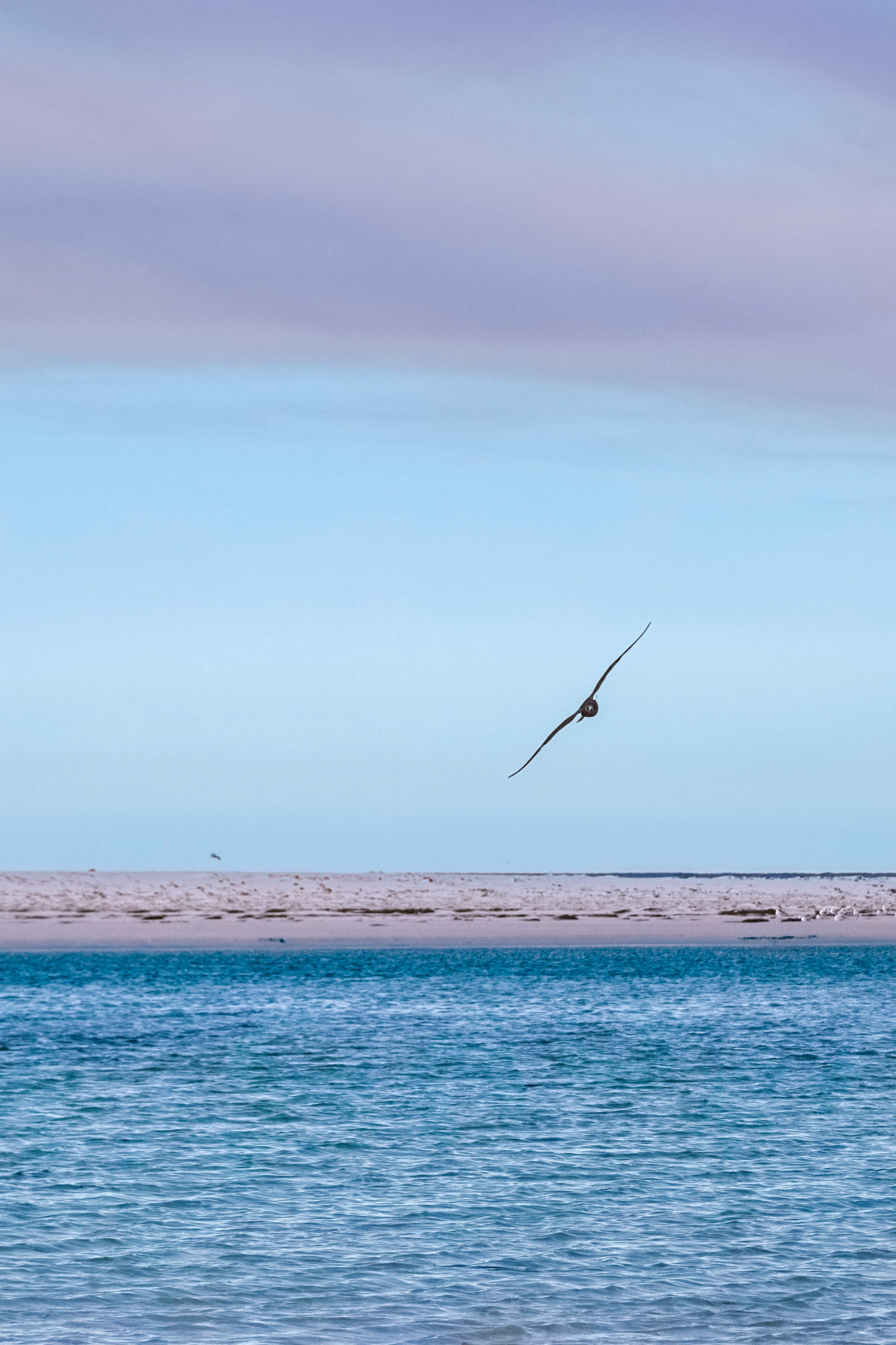
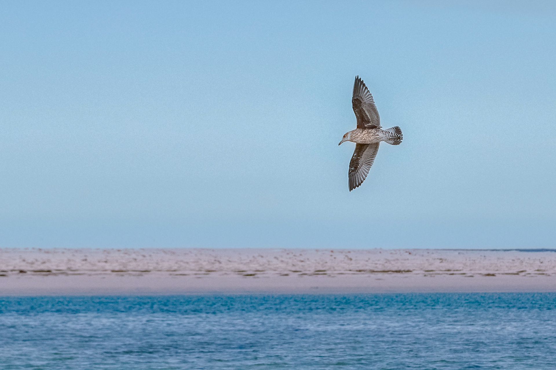
Large gull sweeps around looking for prey. Policeman's Point.
Large gull sweeps around looking for prey. Policeman's Point.
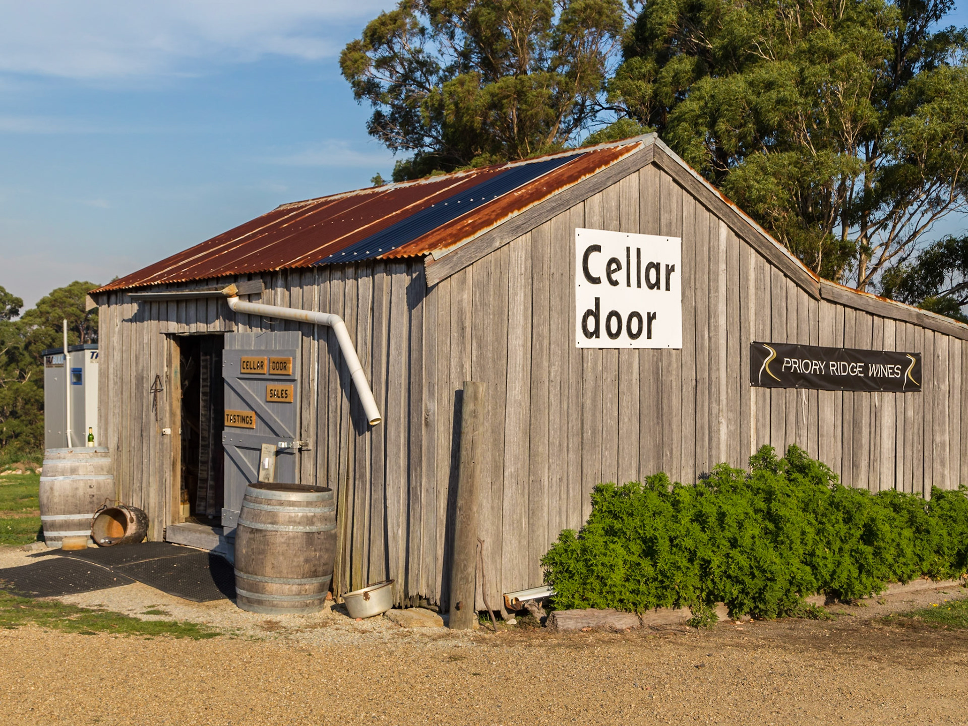
Priory Ridge Wines Cellar Door. It is the northernmost winery of Tasmania's East Coast Wine Region
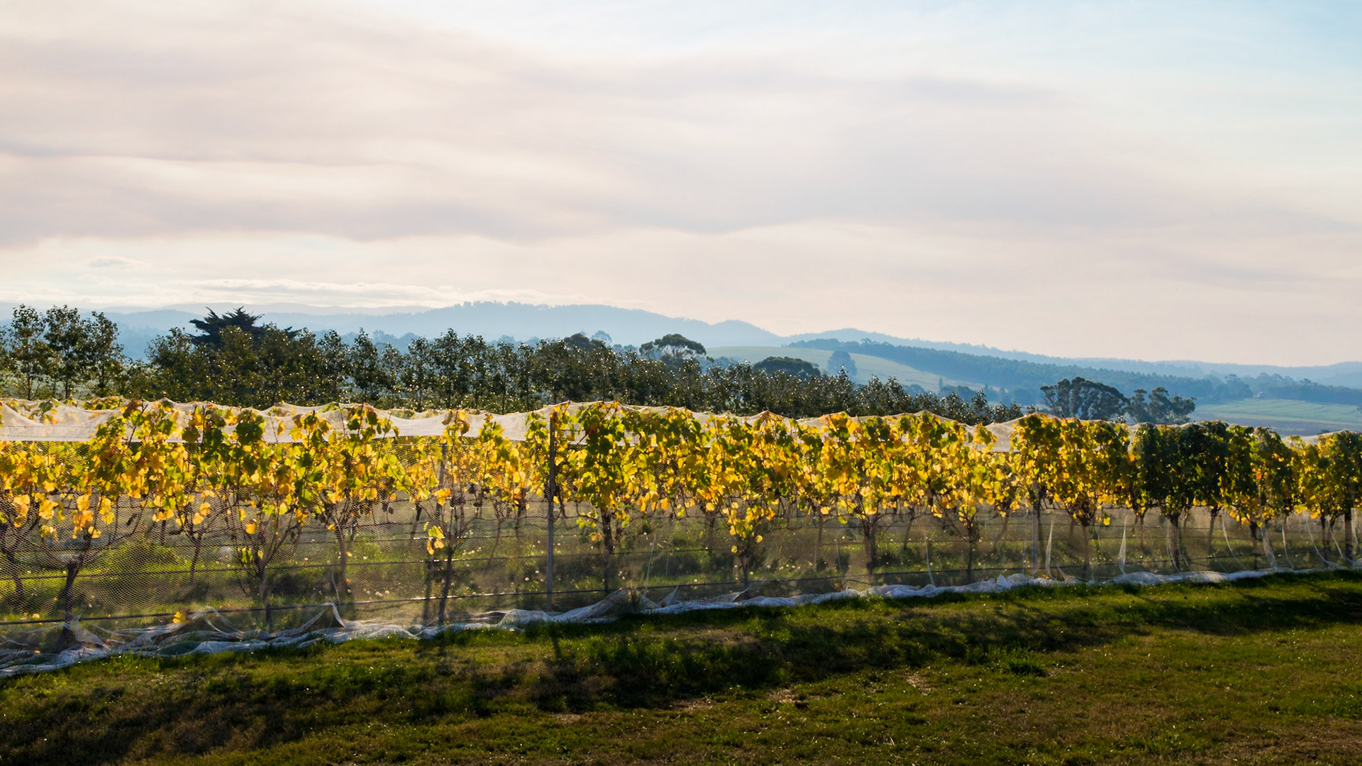
Smoky haze in the sky over Priory Ridge Wines - vines with grapes ready for harvest.
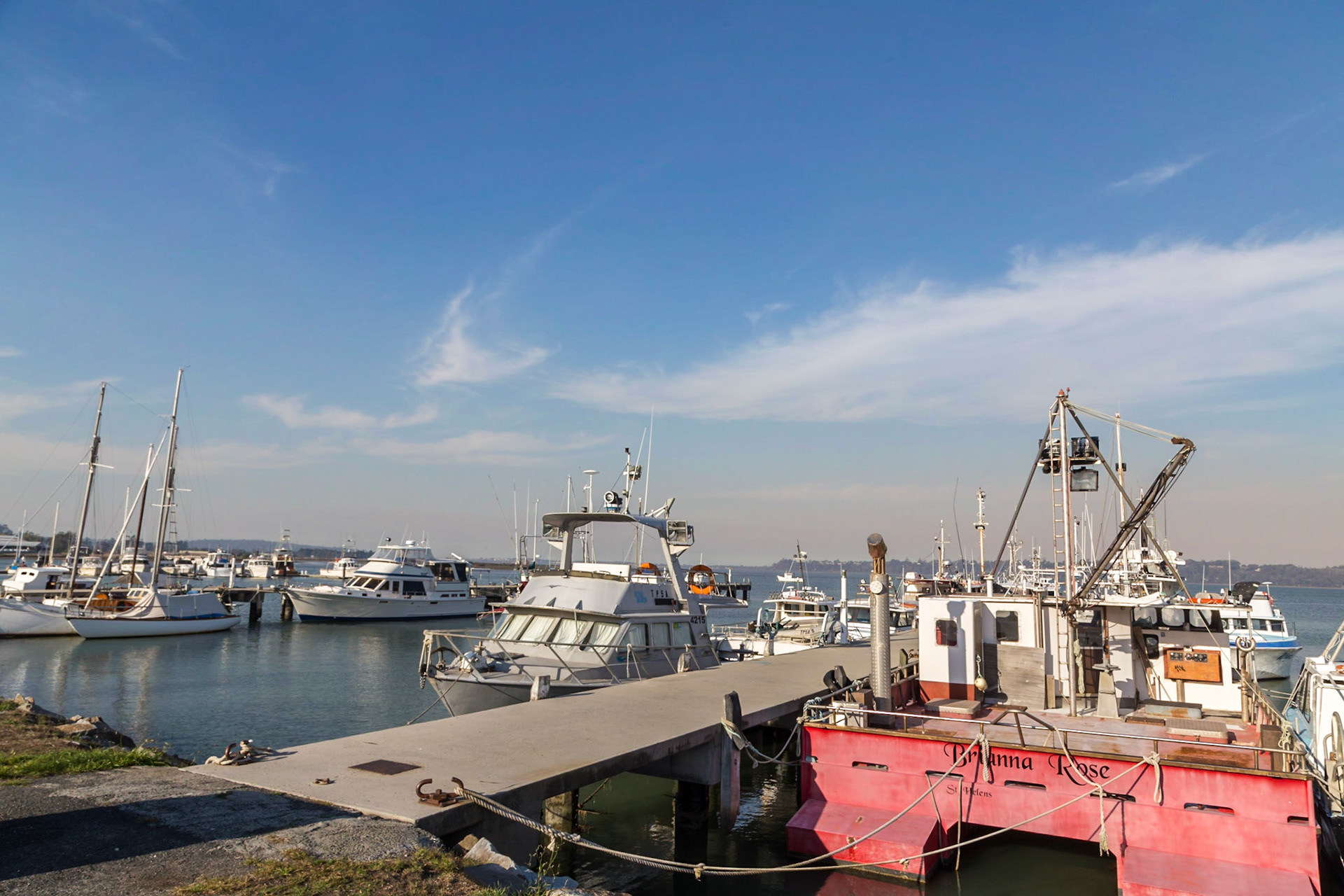
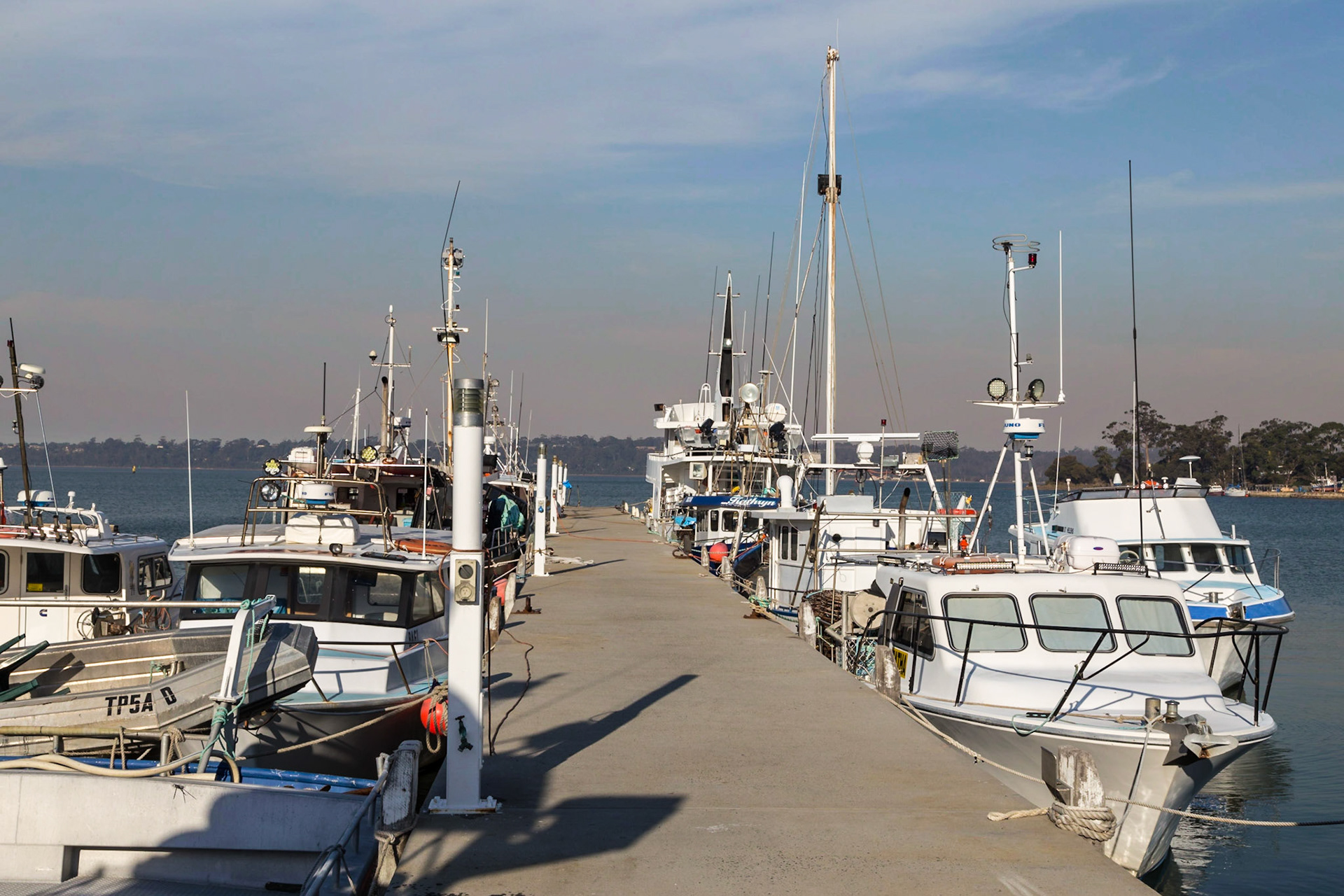
Boat Harbour, Saint Helens
Boat Harbour, Saint Helens
Maurouard Beach
View to Maurouard Beach from St Helens Point, Akaroa
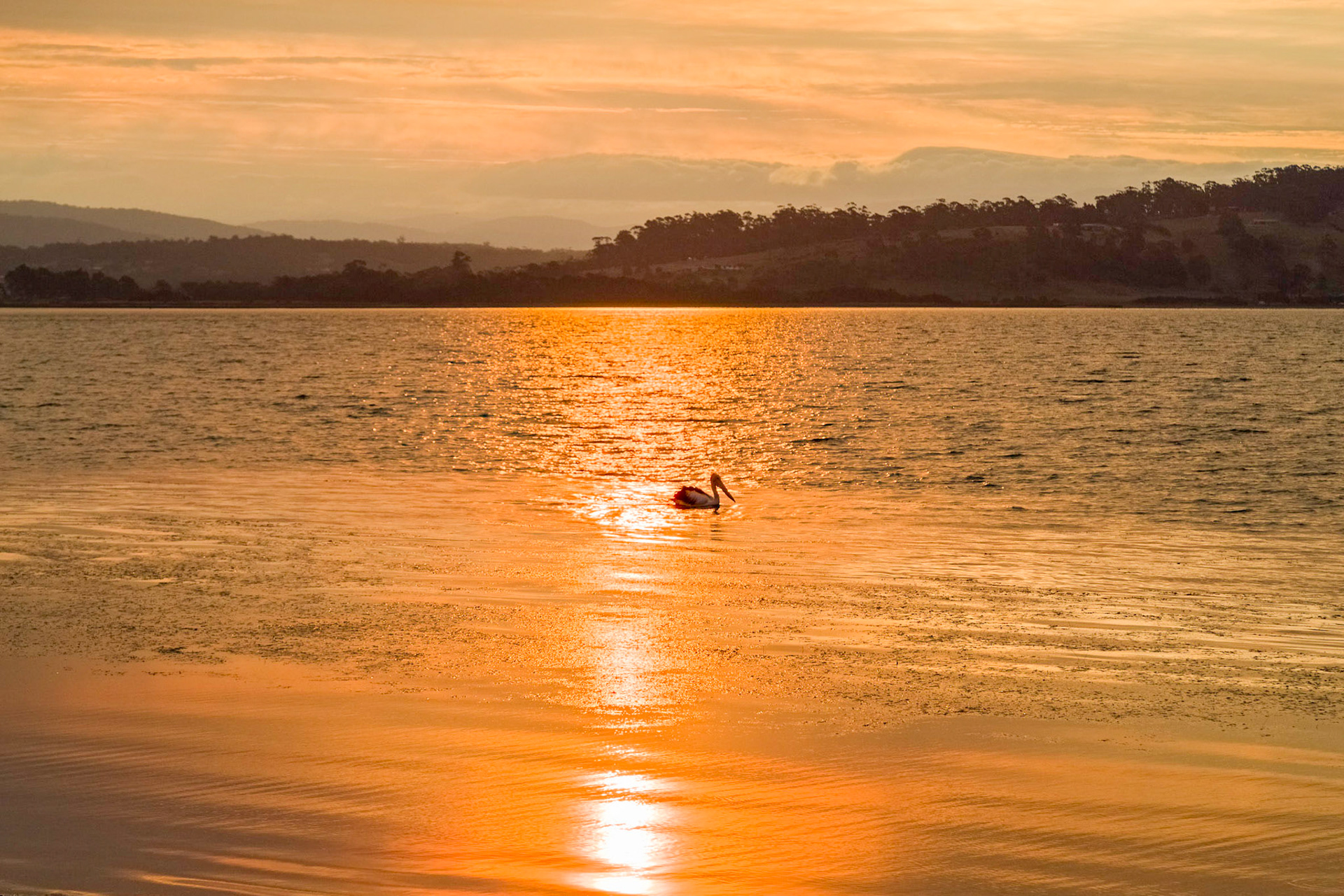
Pelican on St Georges Bay. Sun setting through a haze of smoke from forest fires.