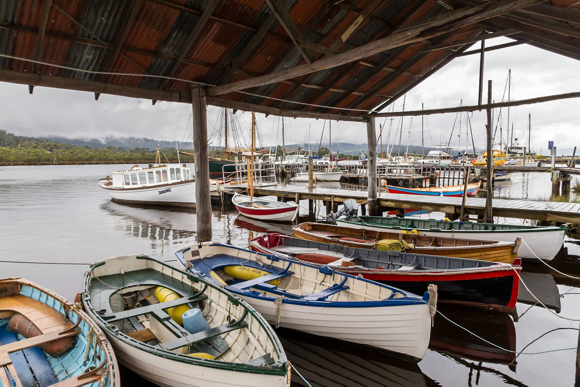
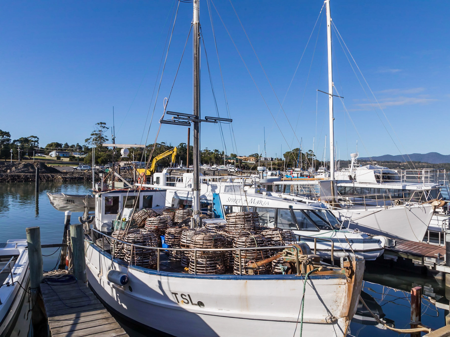
Huon River boats, at Franklin
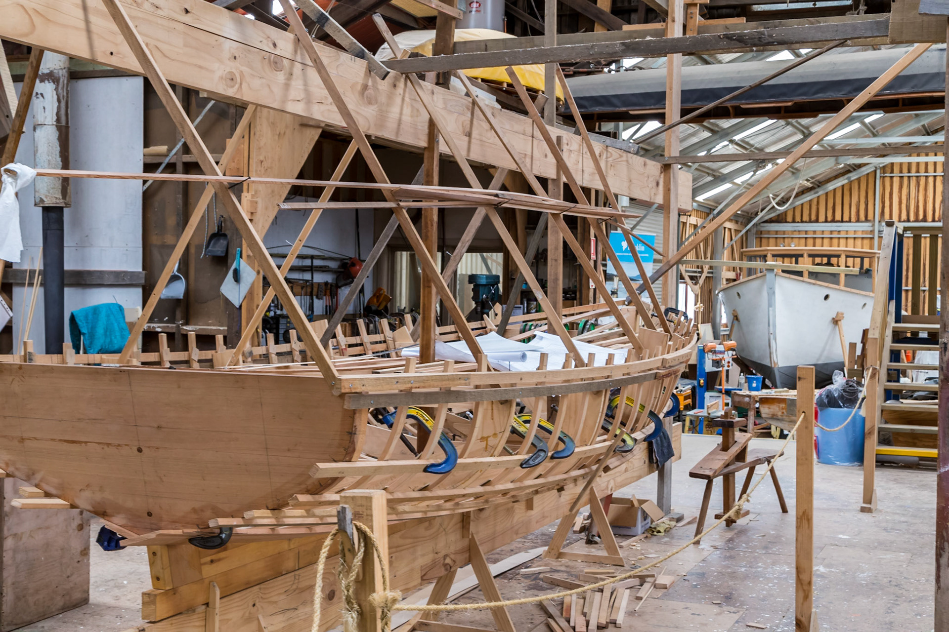
Boat-building, in the Wooden Boat Centre, Franklin
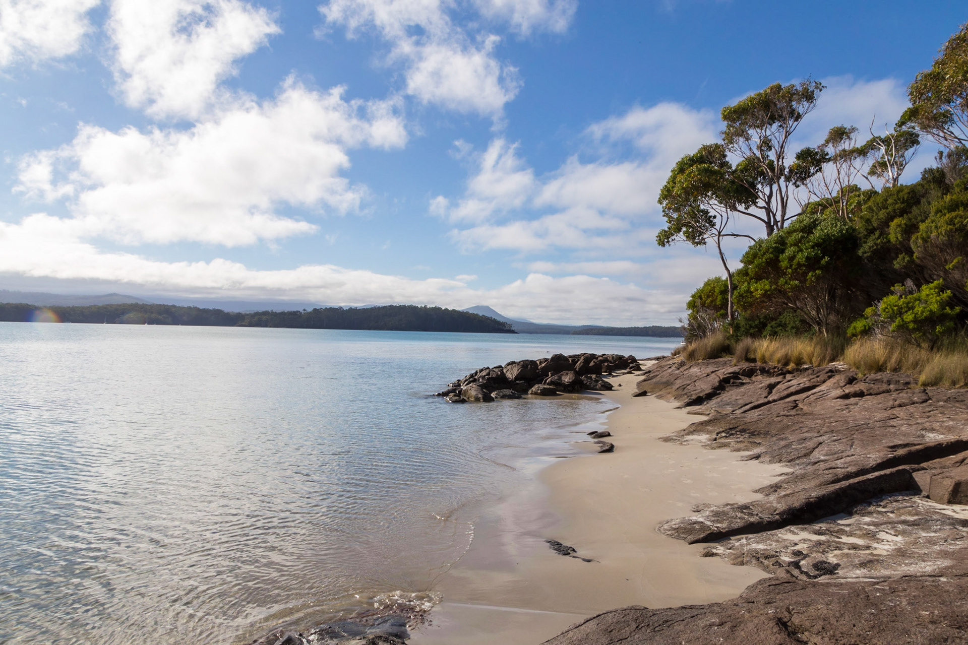
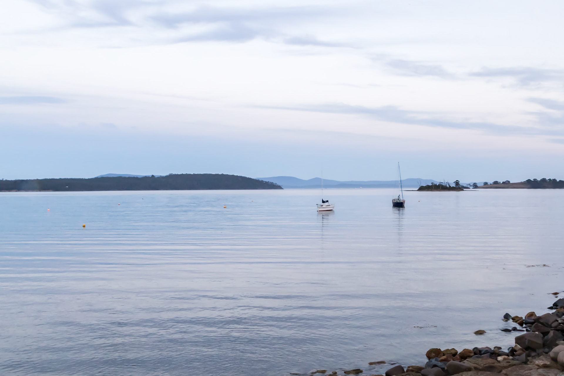
Public Jetty, Dover, Port Esperance
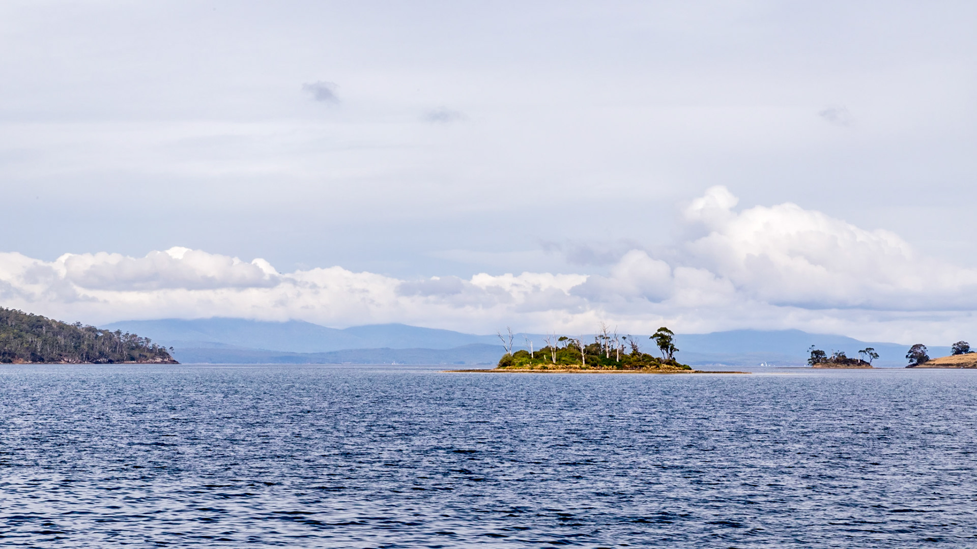
Charity Island, Port Esperance
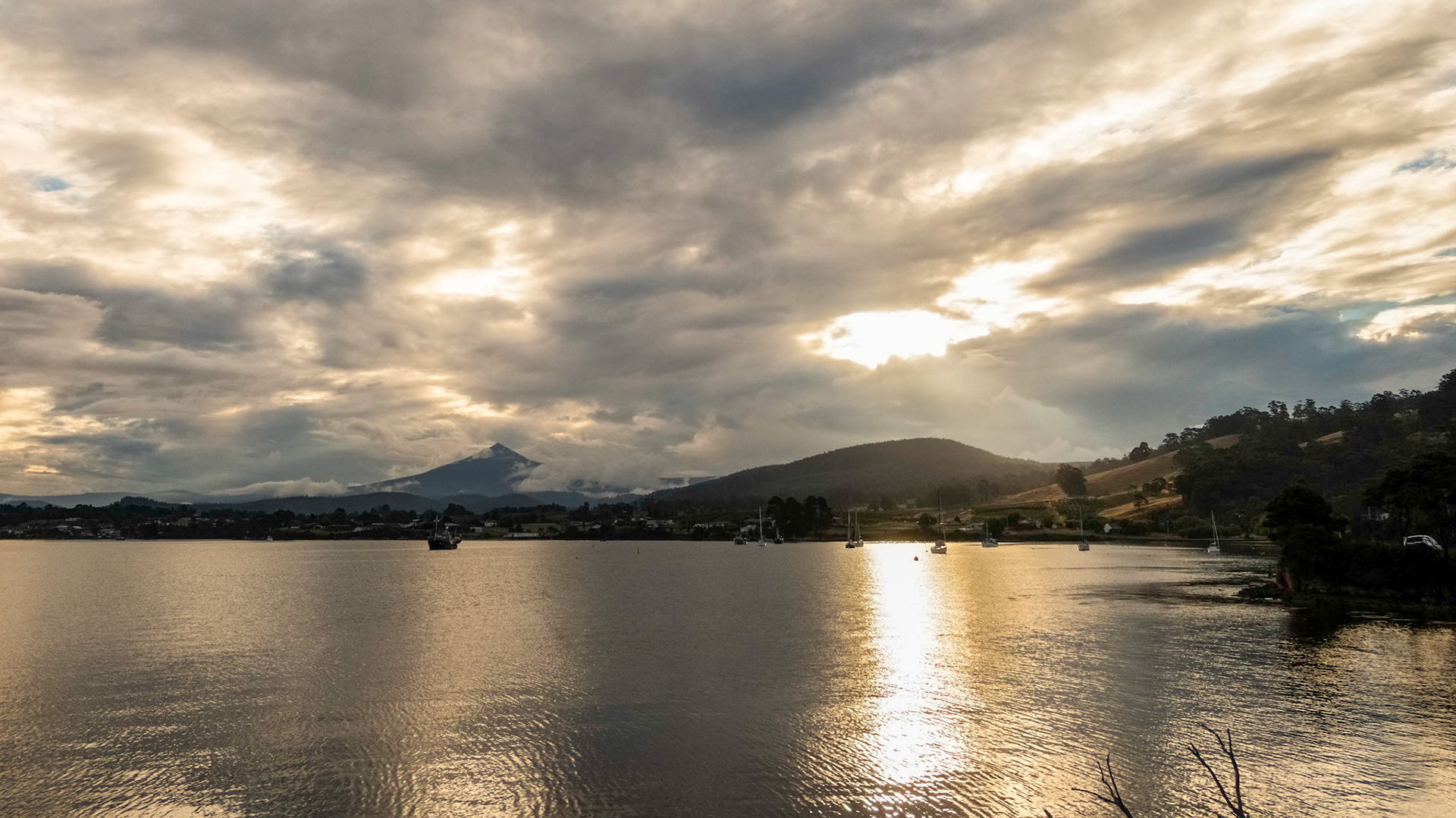
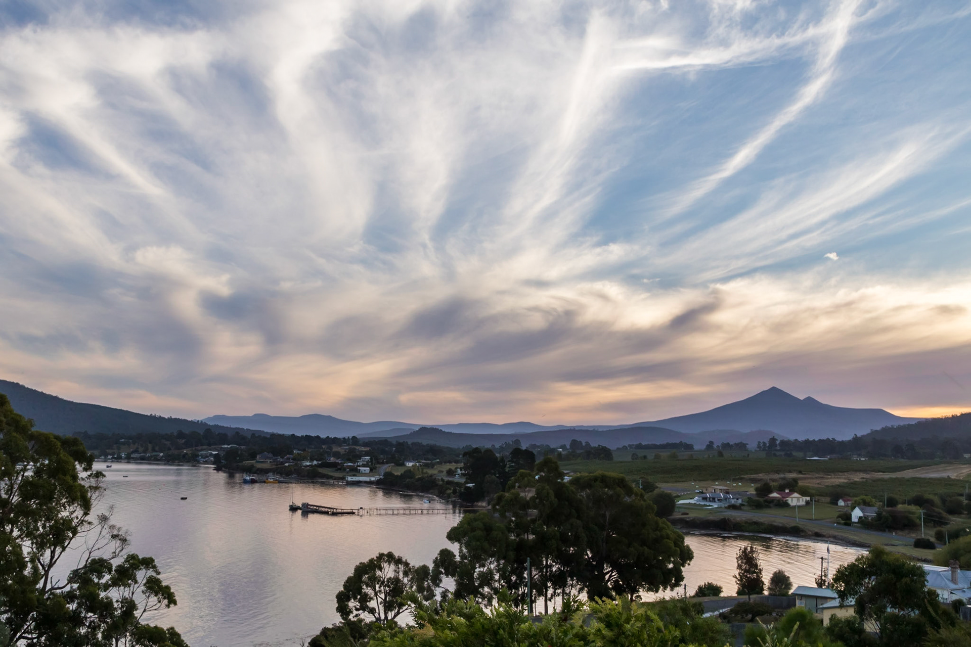
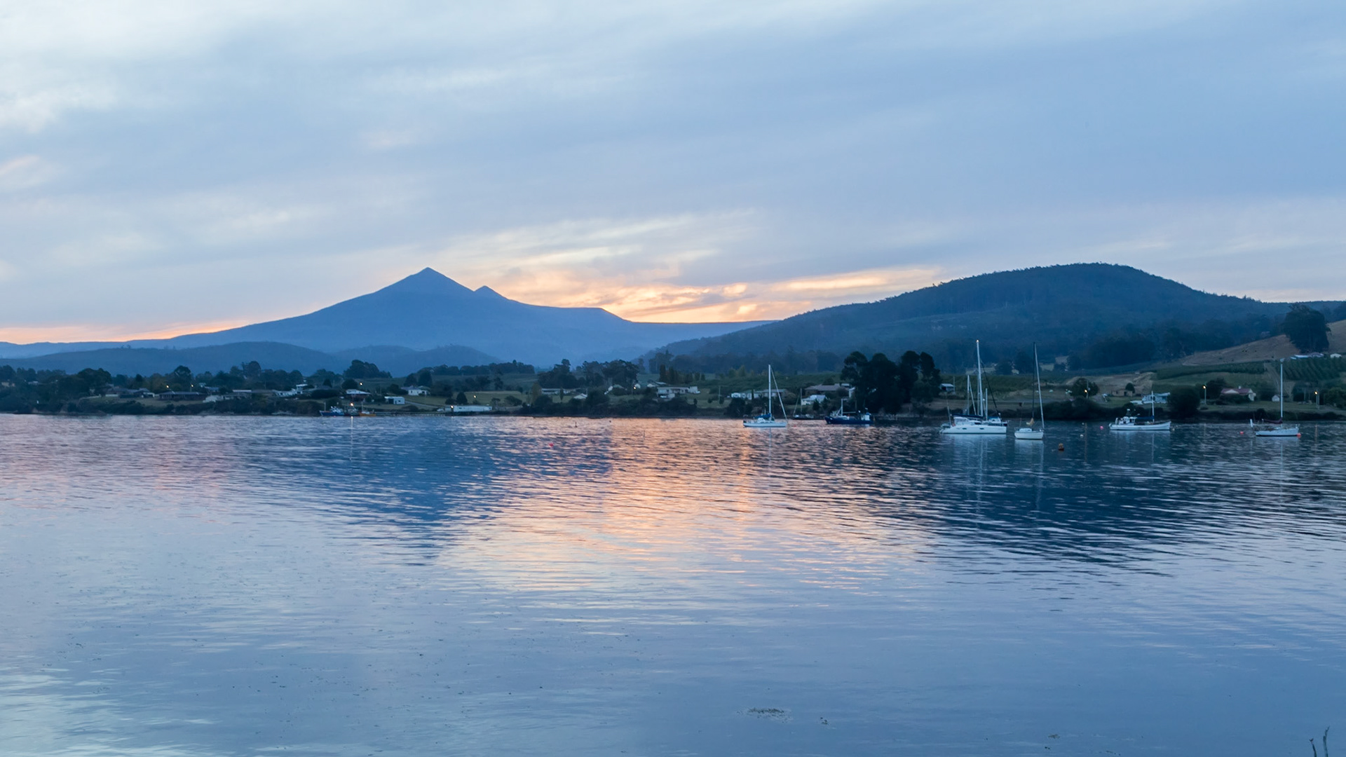
Dover Bay, with Adamsons Peak (Hartz Mountains NP)
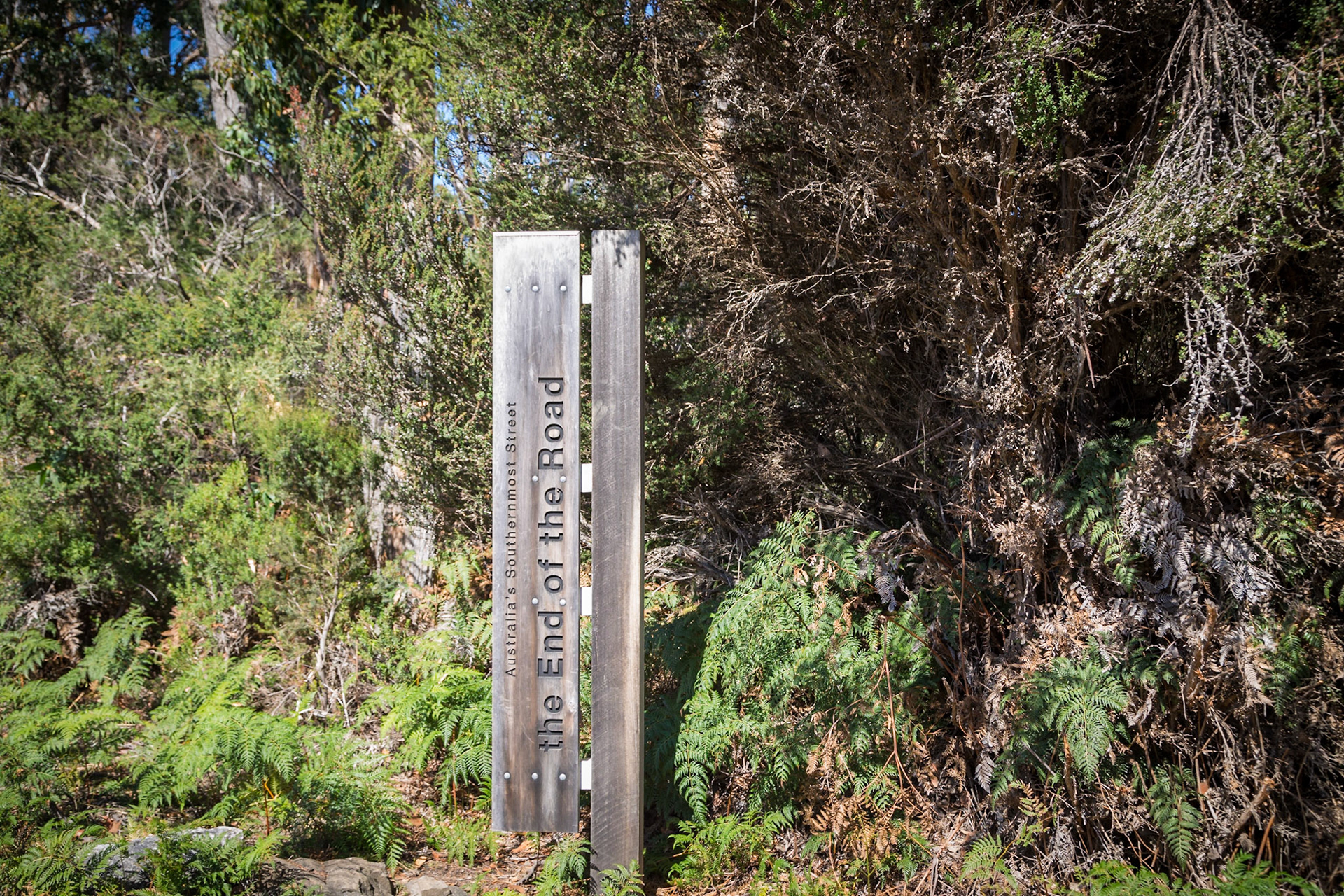
The End of the Road. At Cockle Creek, Australia's southernmost street (it's unpaved). . Southwest National Park
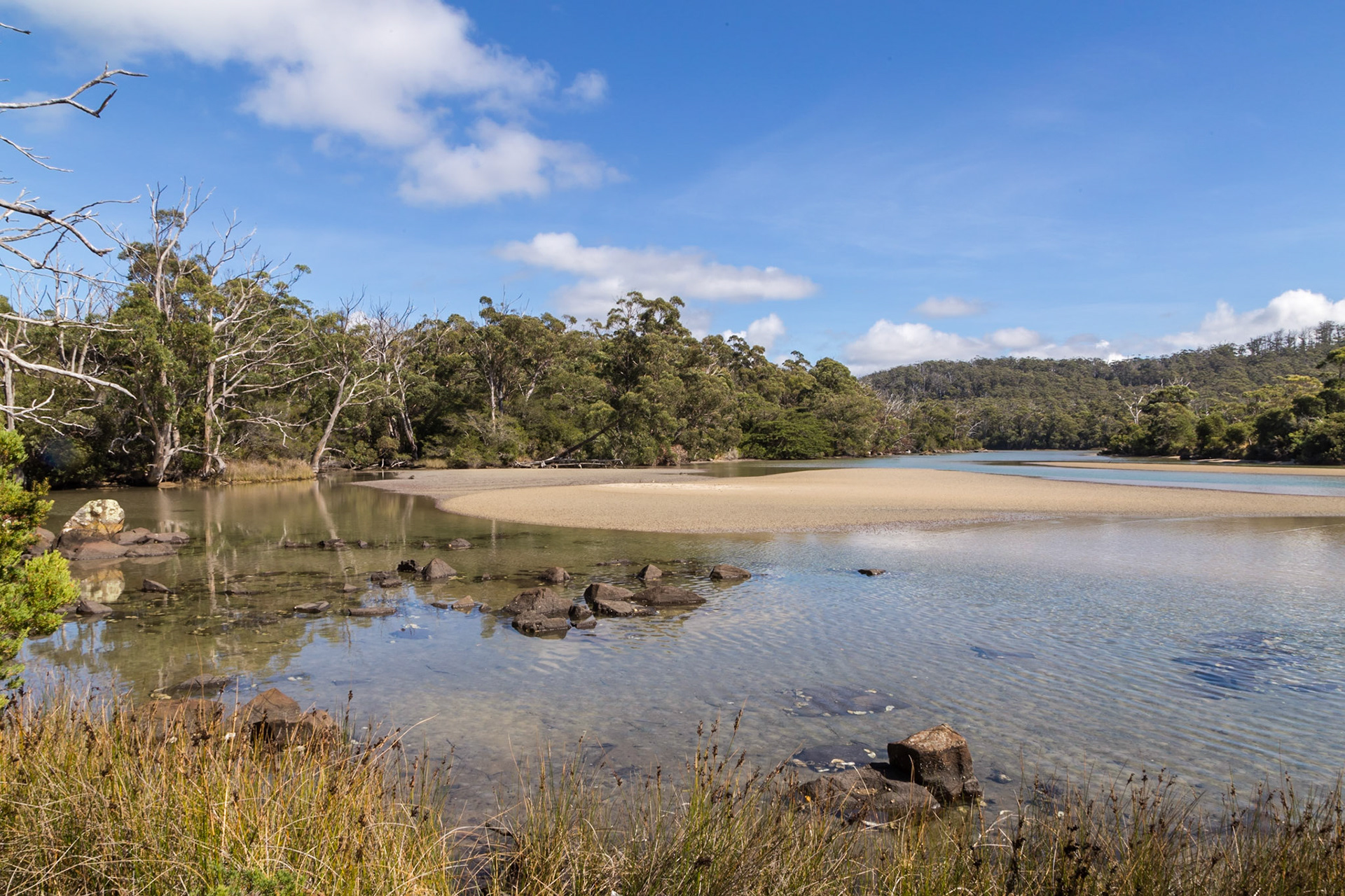
Cockle Creek. Southwest National Park
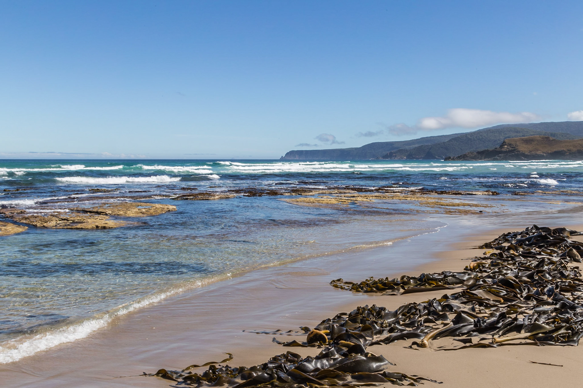
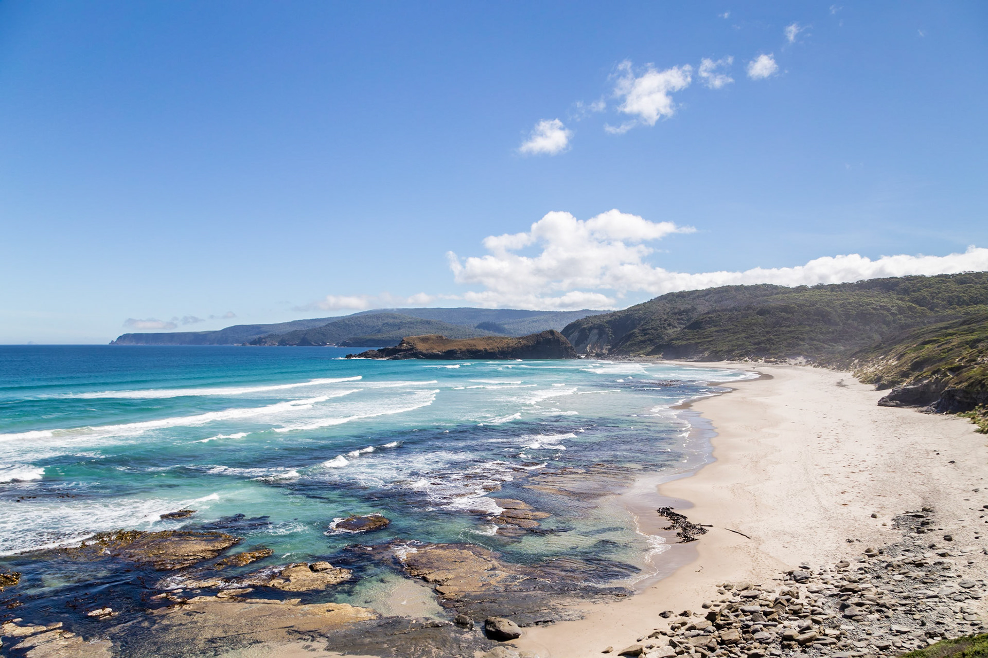
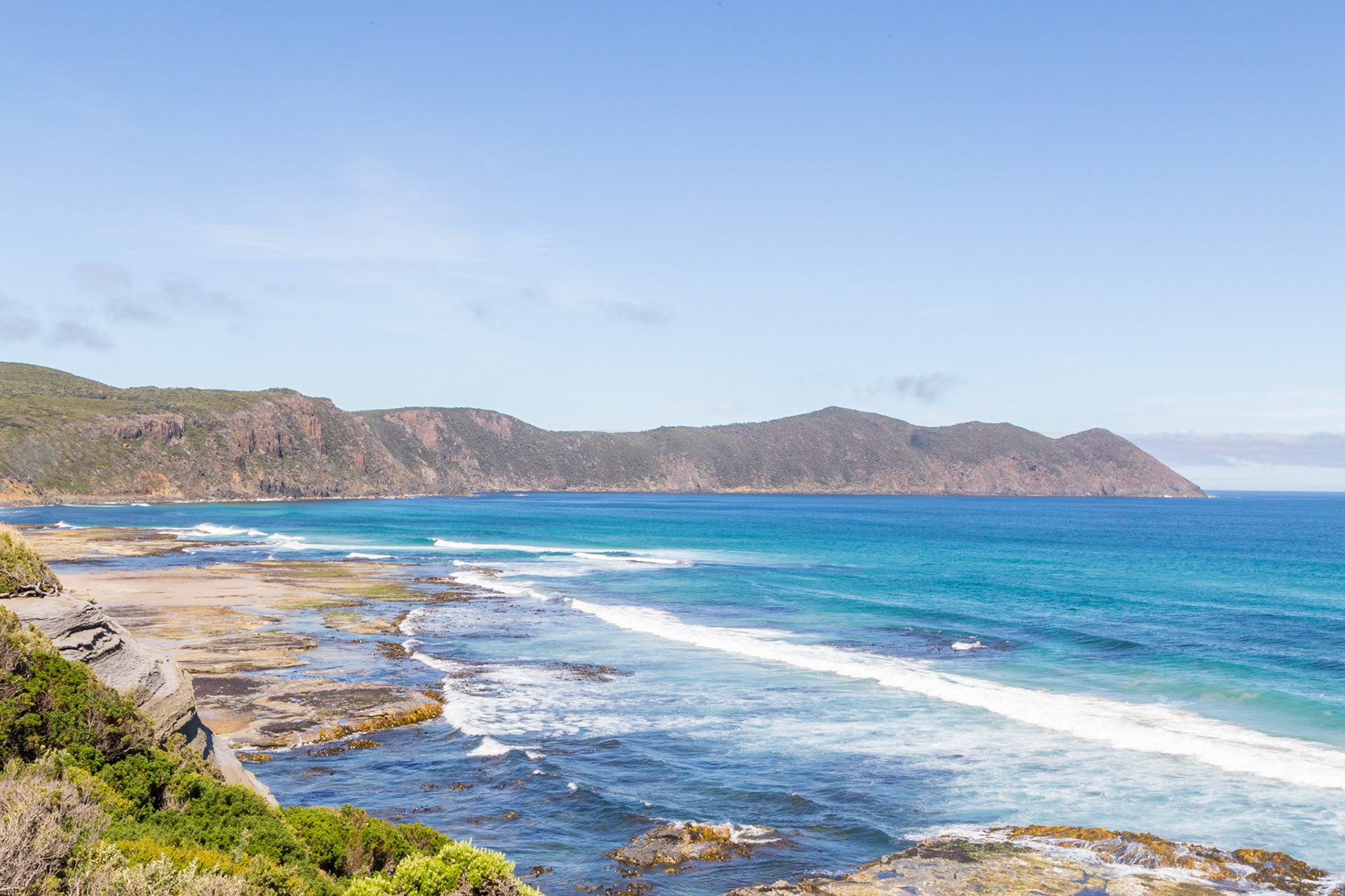
Steps to the beach at South Cape Bay, between South Cape and South East Cape, which are the most southerly locations of the Tasmanian mainland.
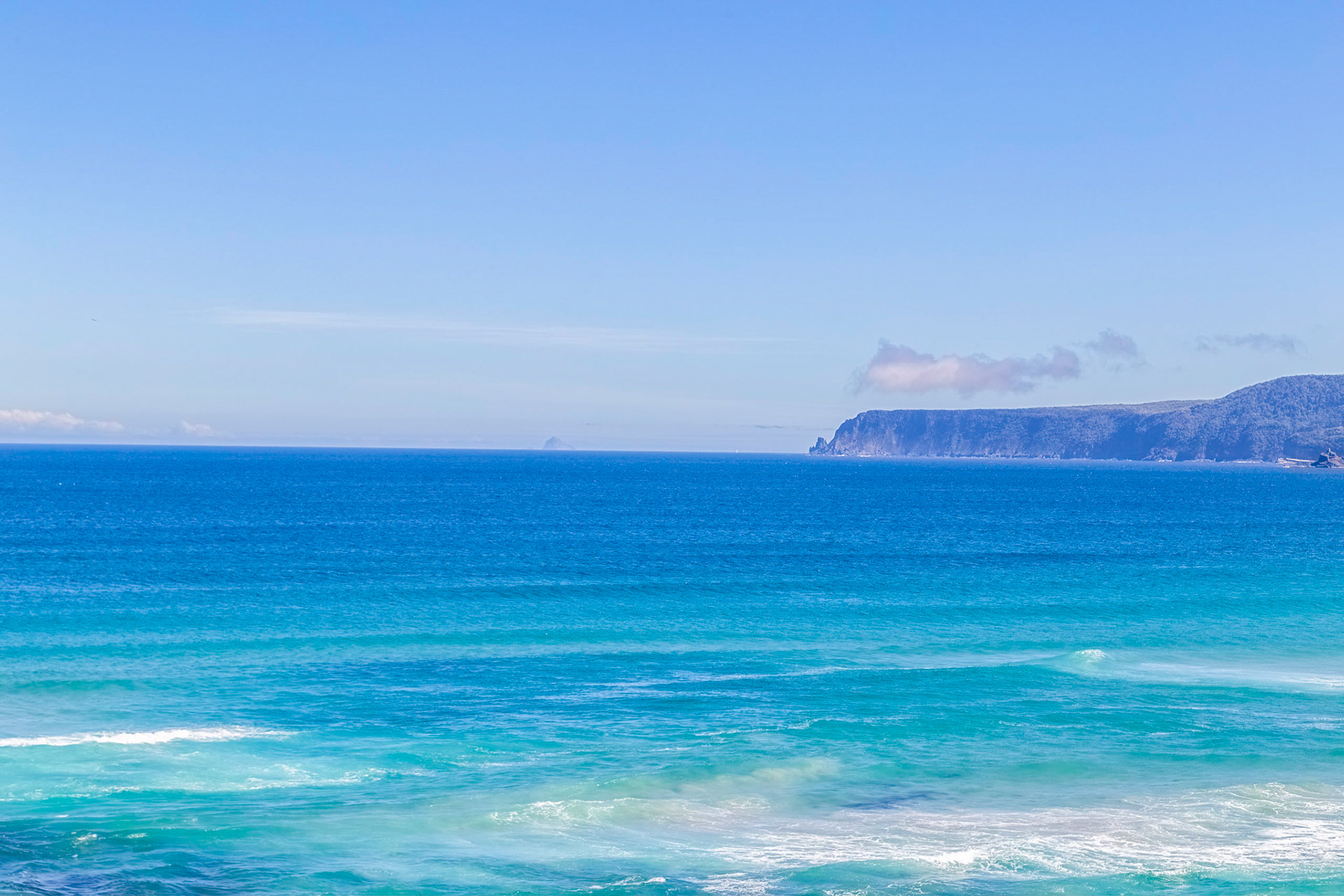
At South Cape Bay: view around to South Cape.
At South Cape Bay: view to Lion Rock and beyond to South Cape.
At South Cape Bay: view around to South Cape, one of the most southerly locations of the Tasmanian mainland.
At South Cape Bay
At South Cape Bay: towards South East Cape, which is the southern-most point of Australia (excepting Macquarie Island).
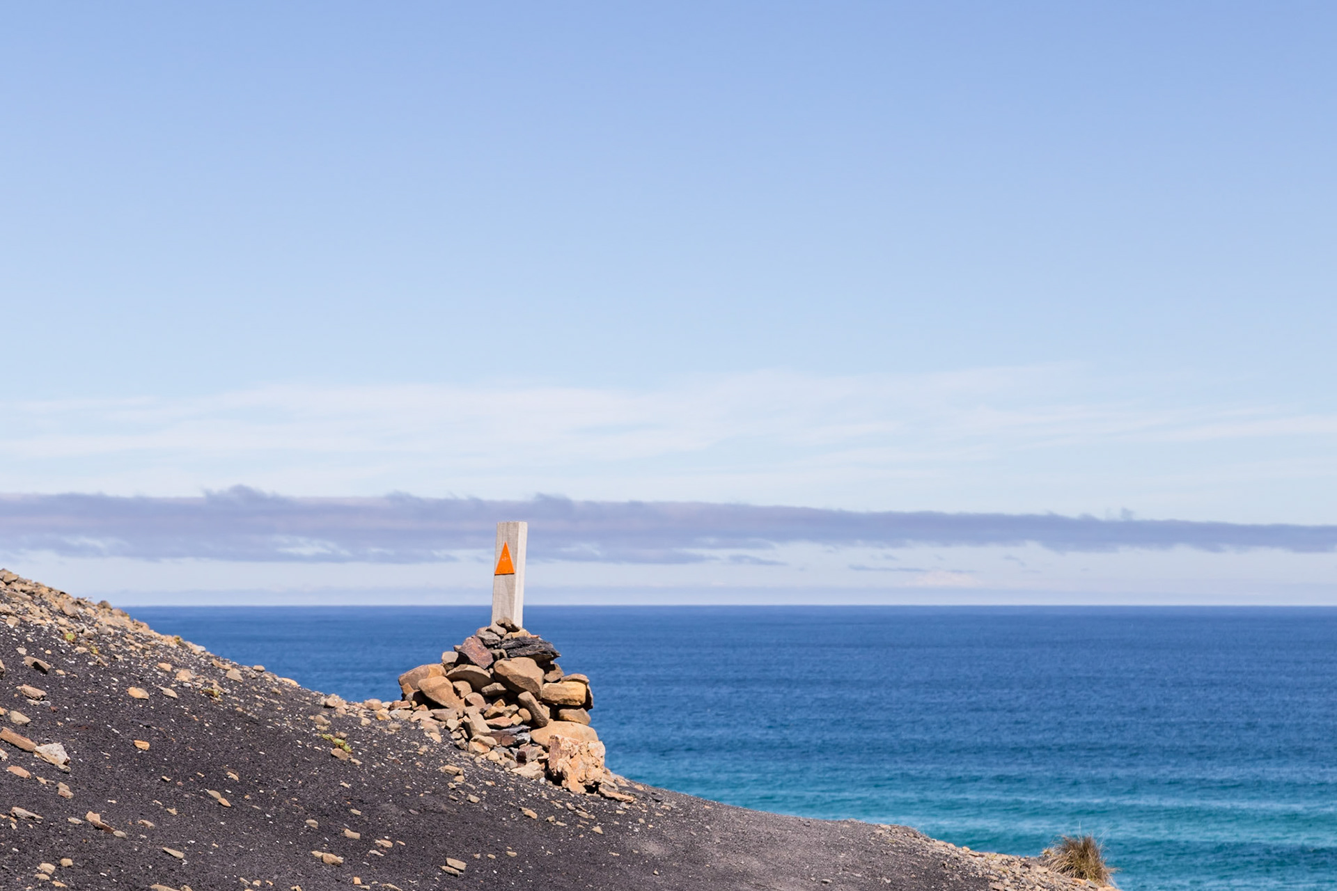
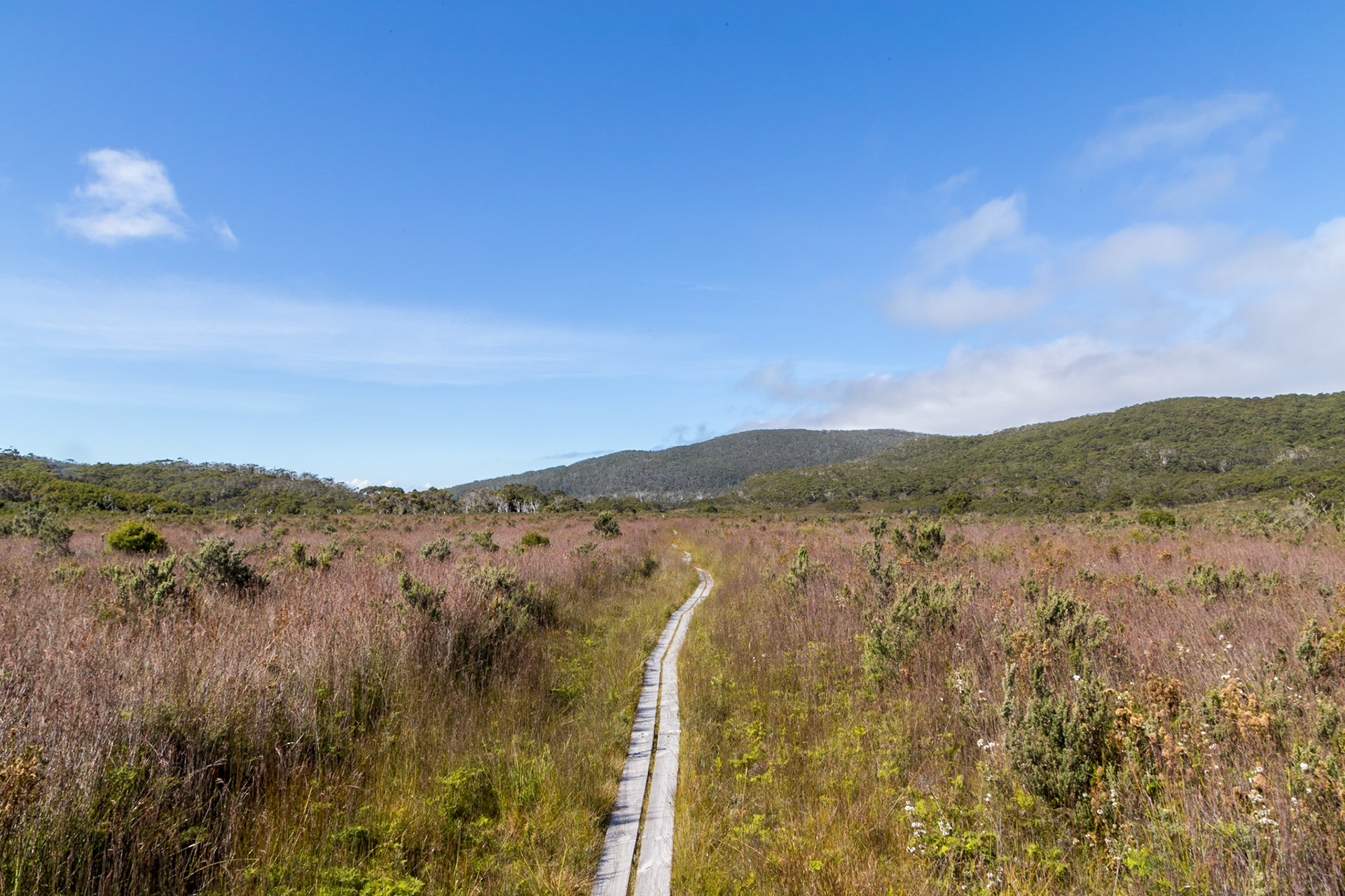
An open section of the South Coast Track. Southwest National Park
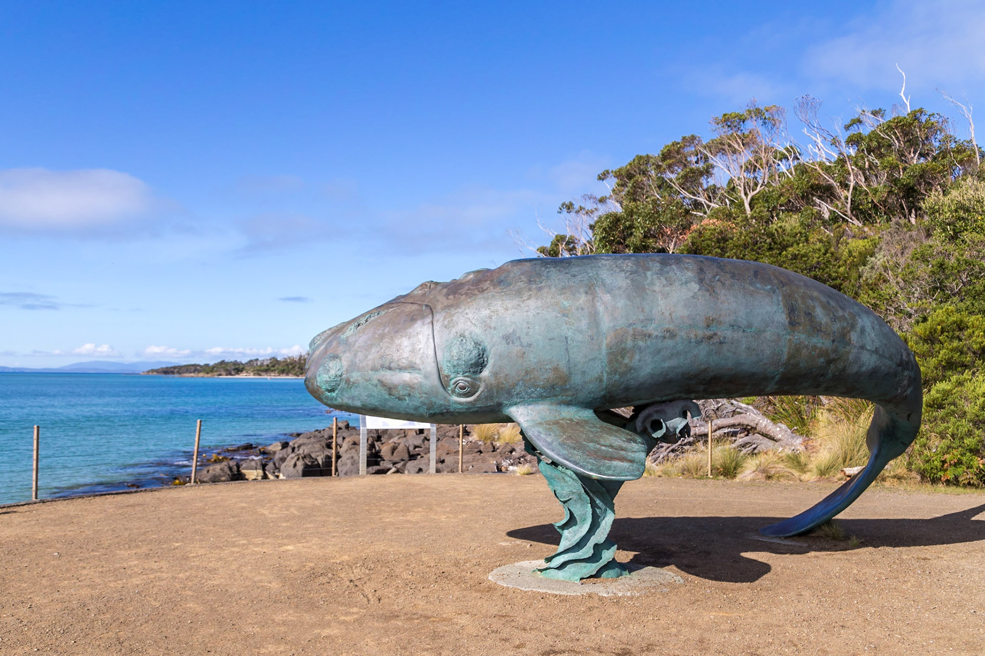
Recherche Bay Whale Sculpture. Lifesize 3-month old southern right whale sculpture by Steven Walker.
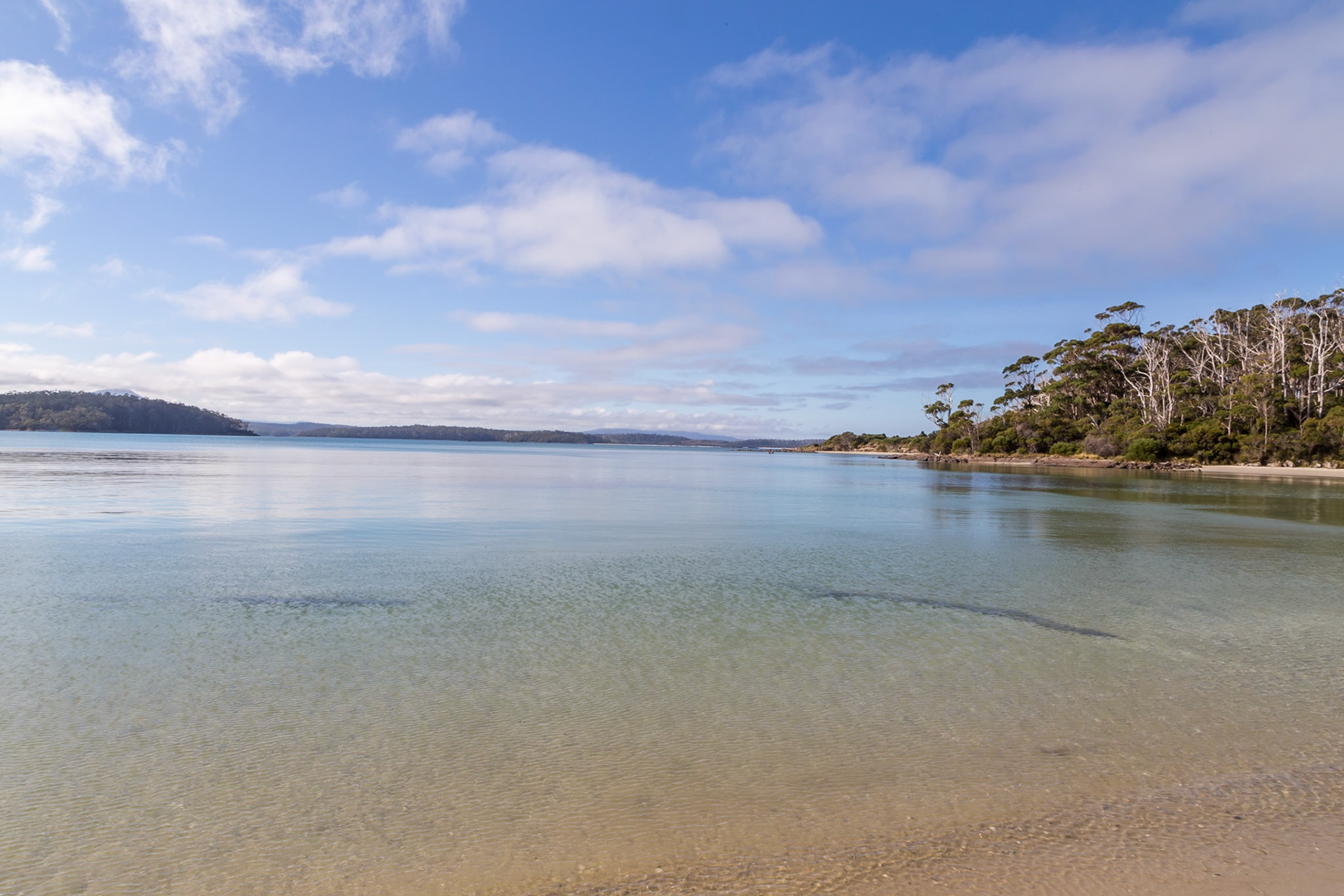
On the beach walk out to Fishers Point In Recherche Bay, DÉntrecasteaux Channel
In Recherche Bay, DÉntrecasteaux Channel
In Recherche Bay, DÉntrecasteaux Channel
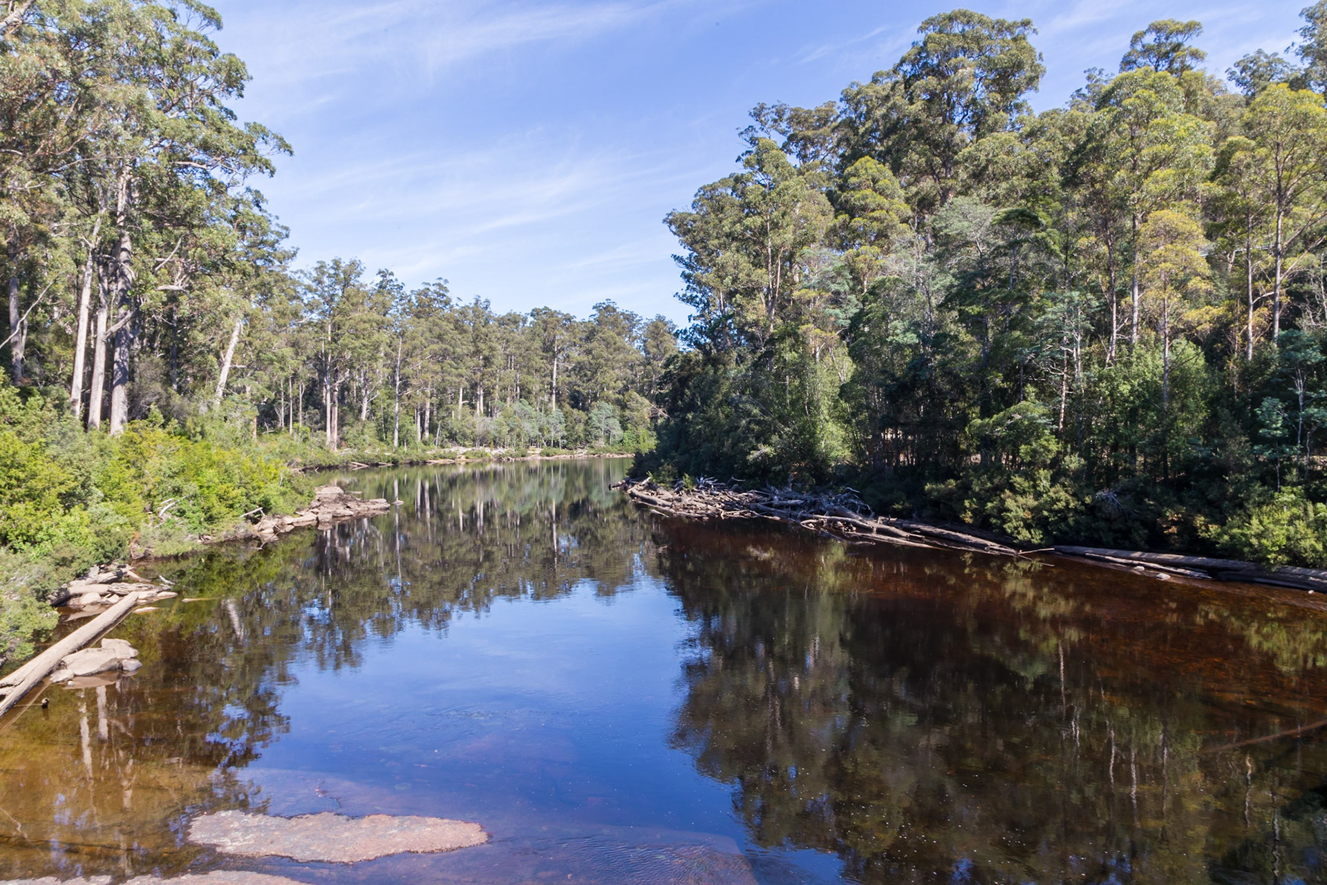
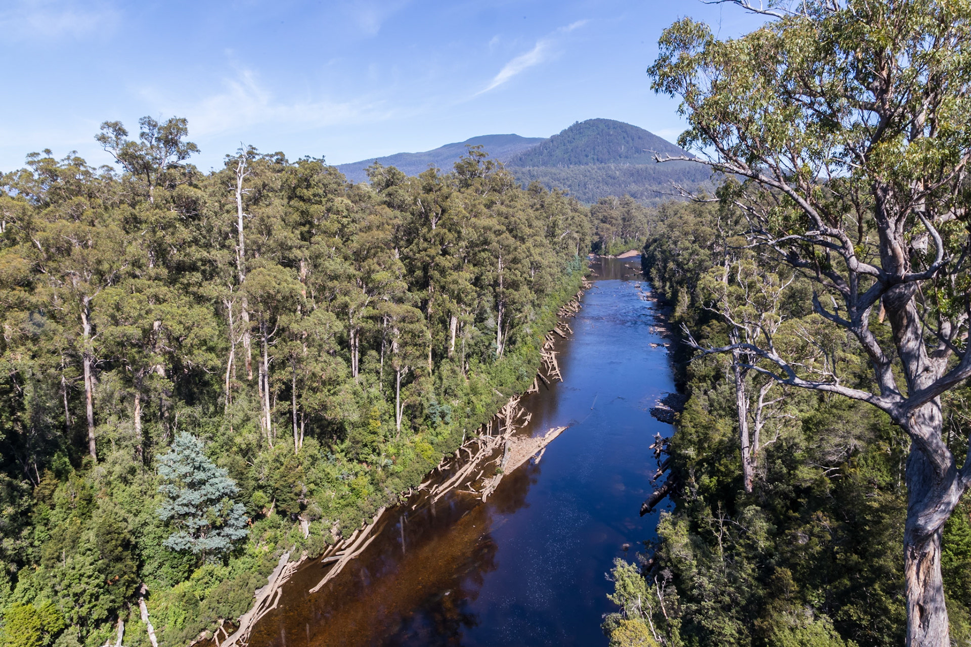
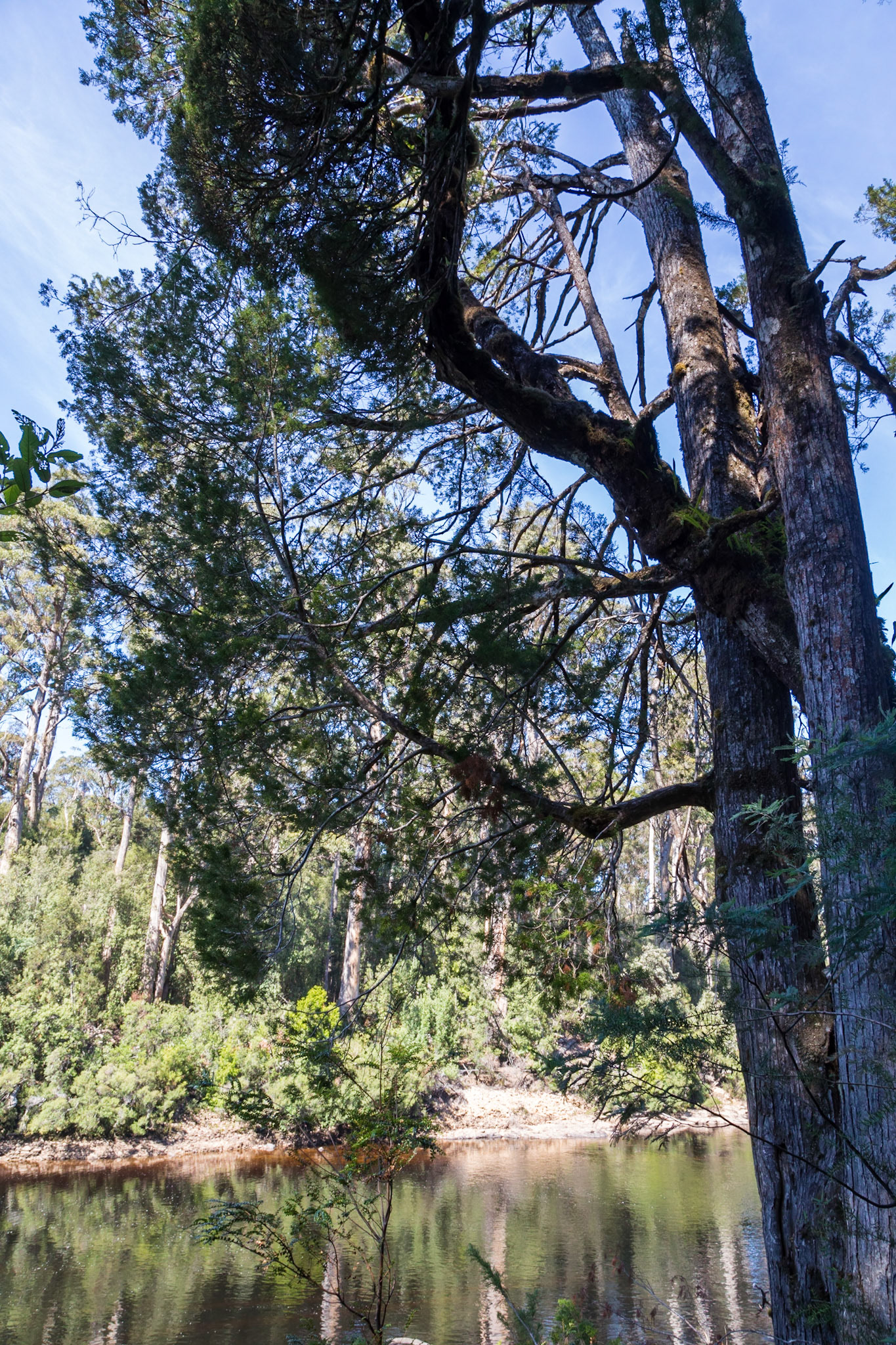
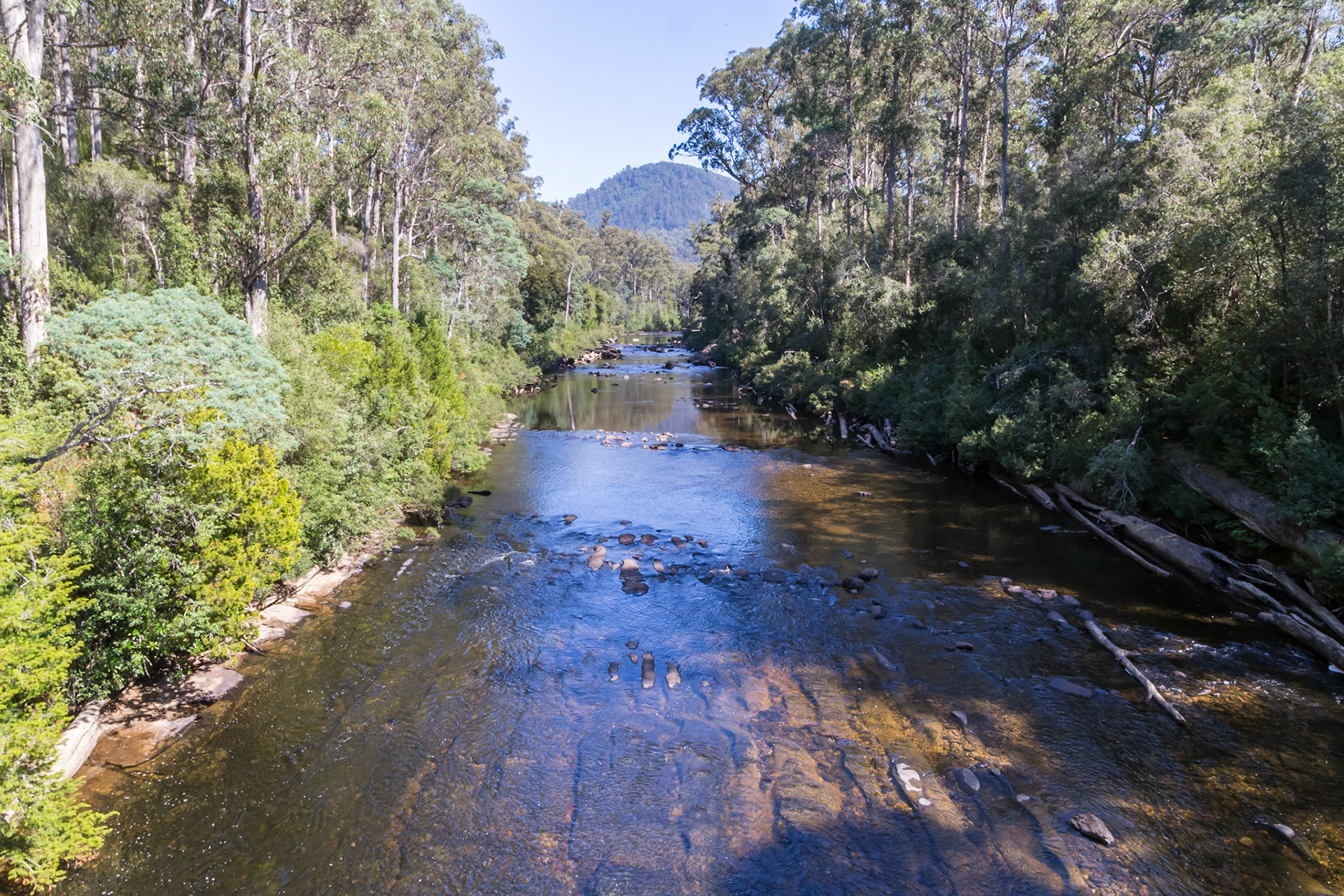
Huon River. From the Tahune Bridge
Huon River, from the Tahune Airwalk
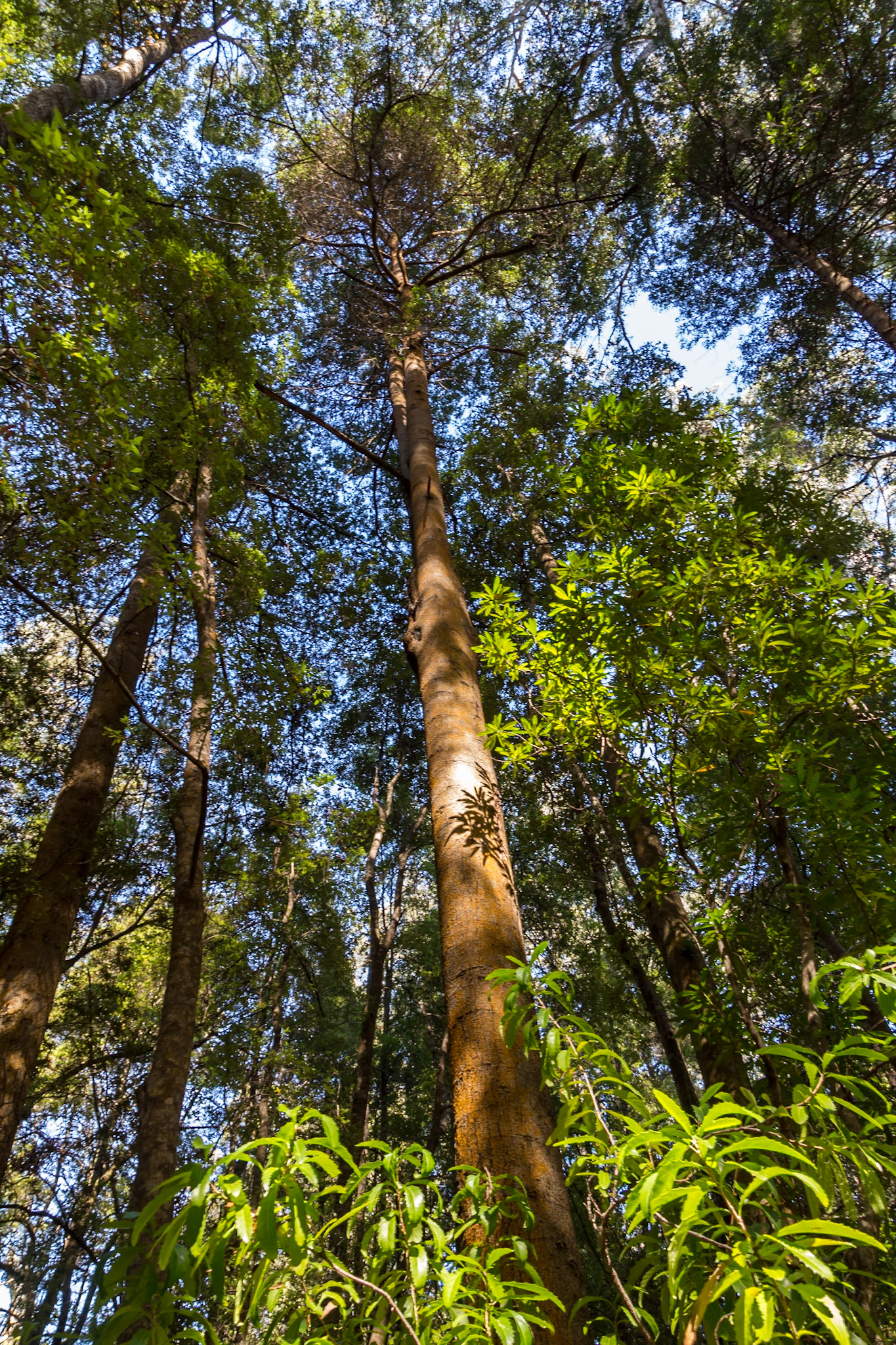
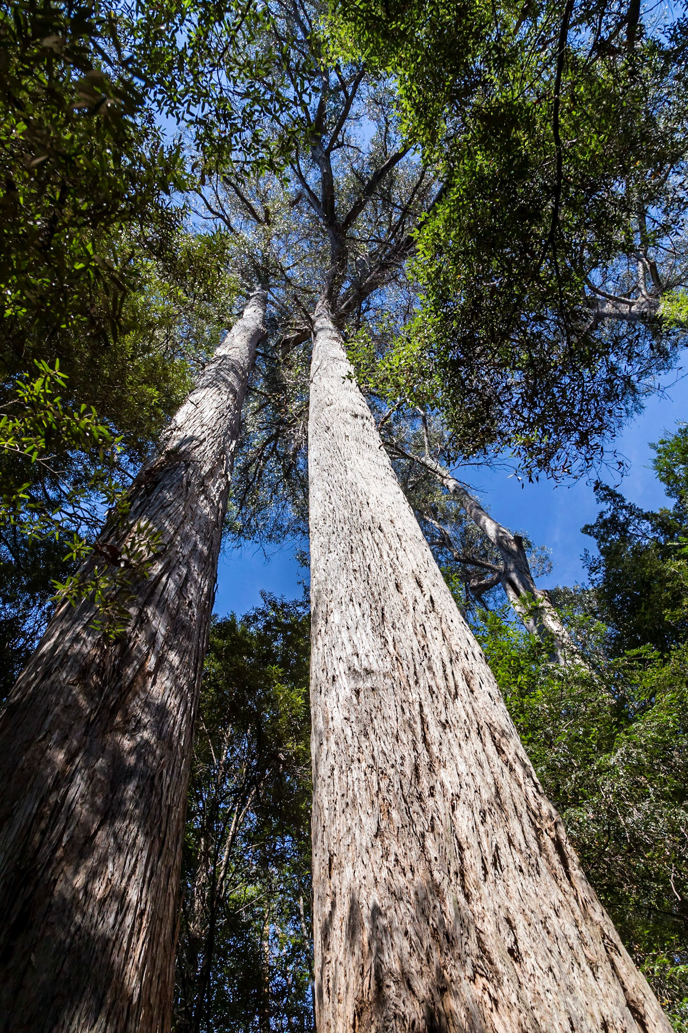
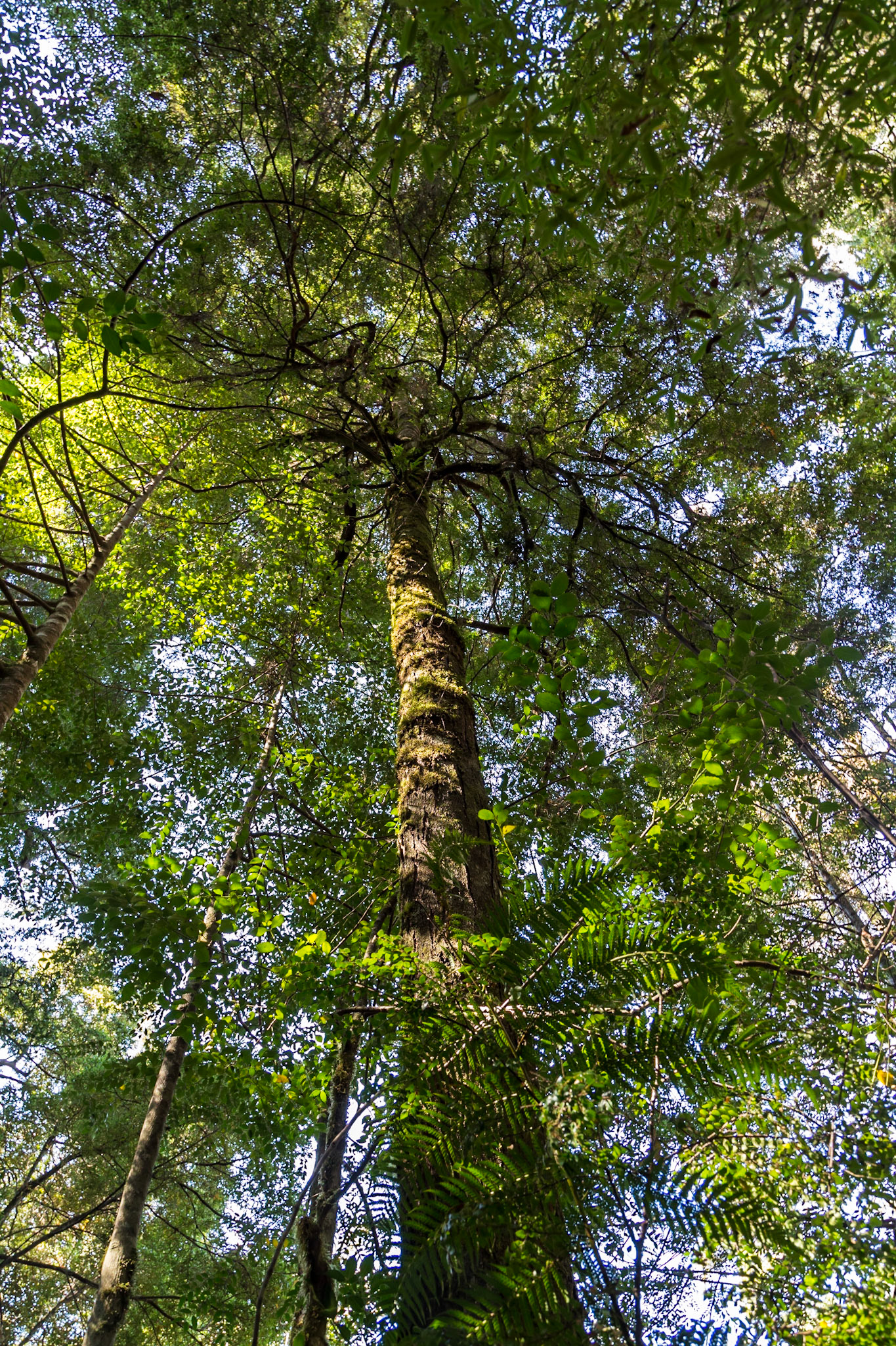
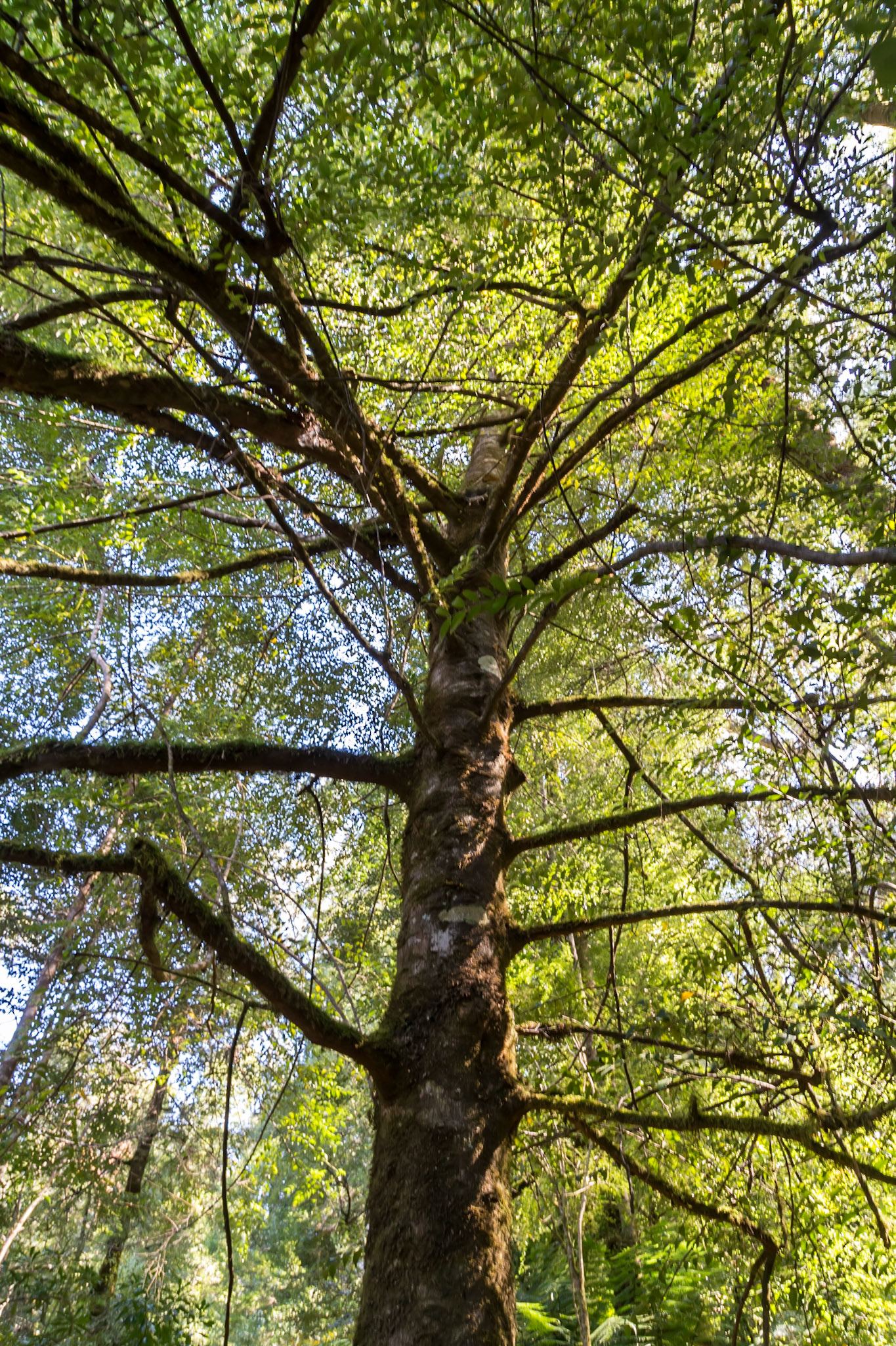
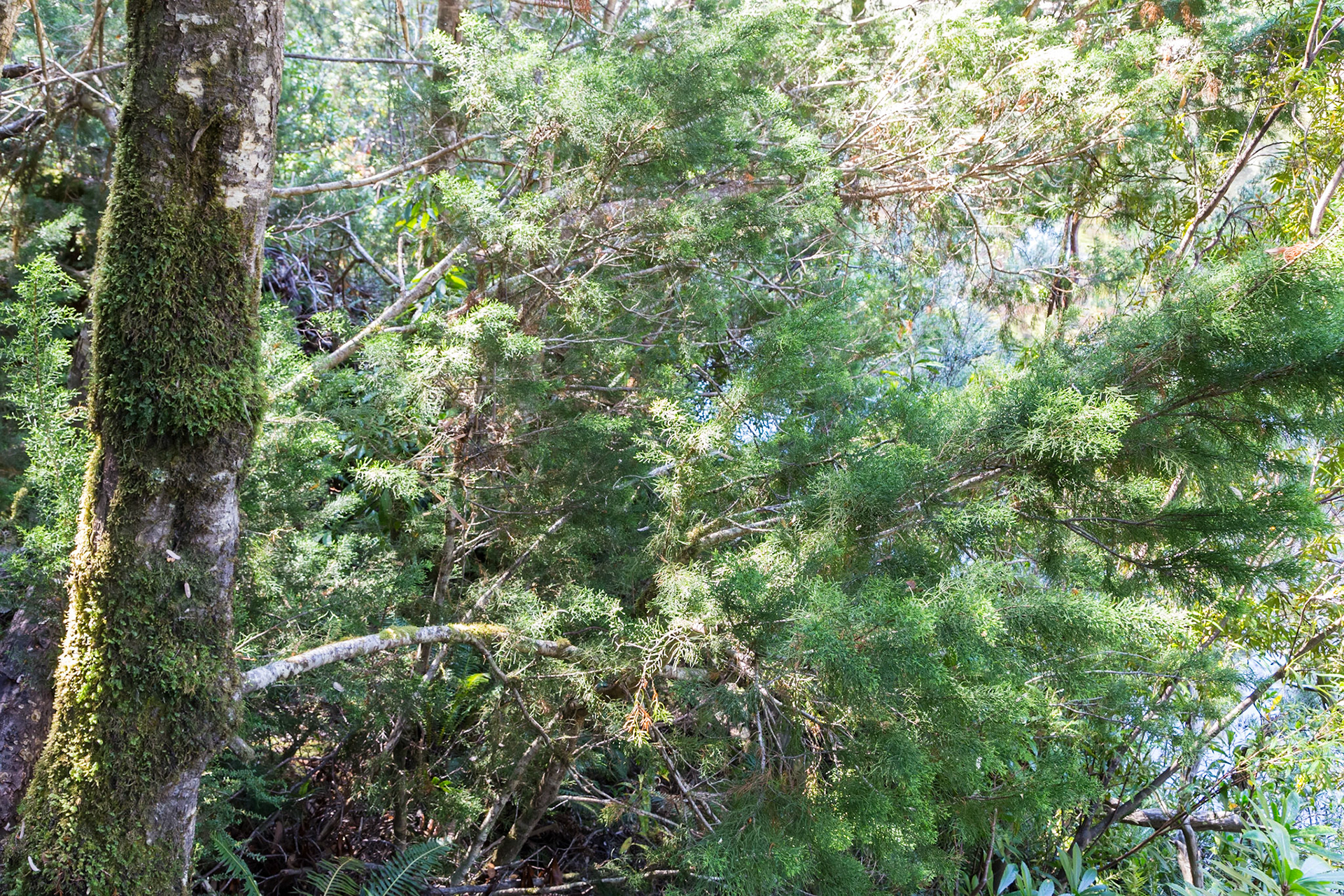
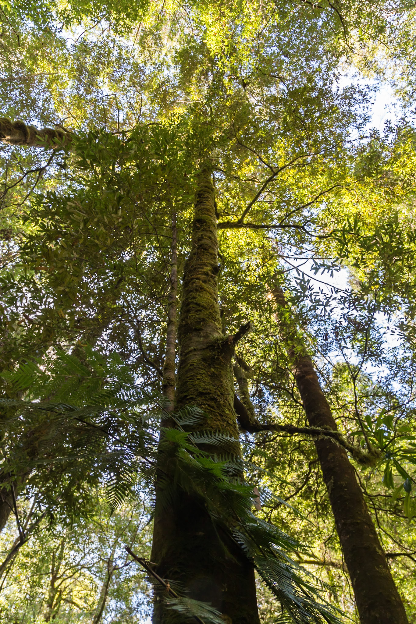
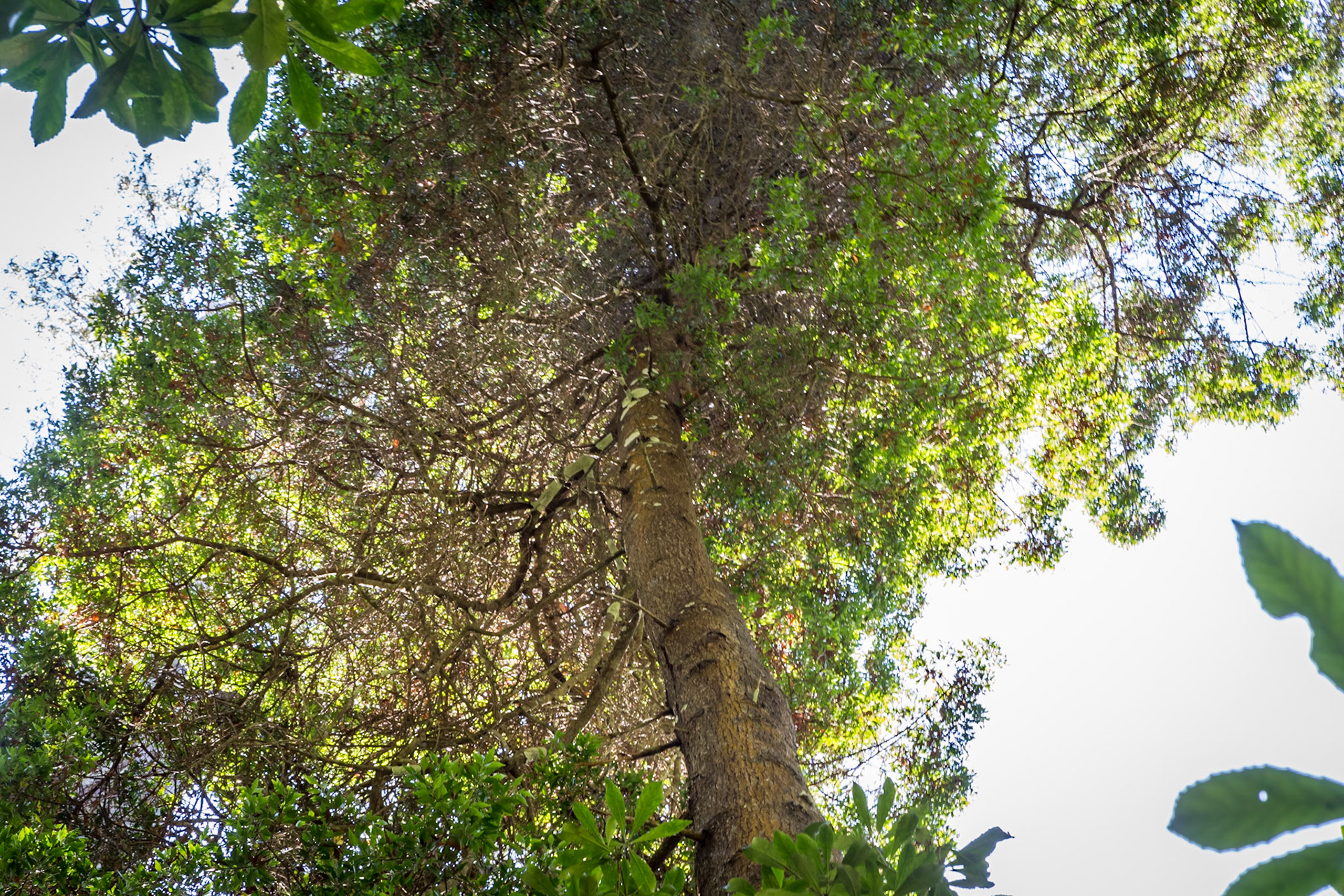
Celery Top Pine (Phyllocladus aspleniifolius)
Stringy-bark (Eucalyptus obliqua)
Myrtle (Nothofagus cunninghamii)
Sassafras (Atherosperma moschatum)
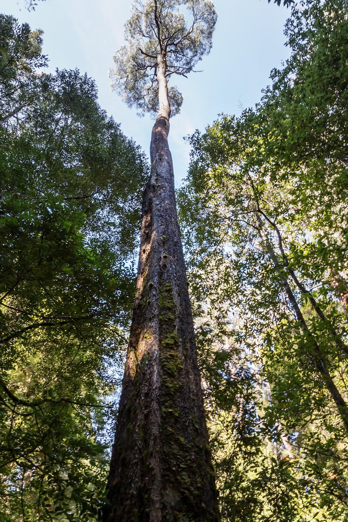
Huon Pine (Lagarostrobus franklinii)
Huon Pine (Lagarostrobus franklinii)
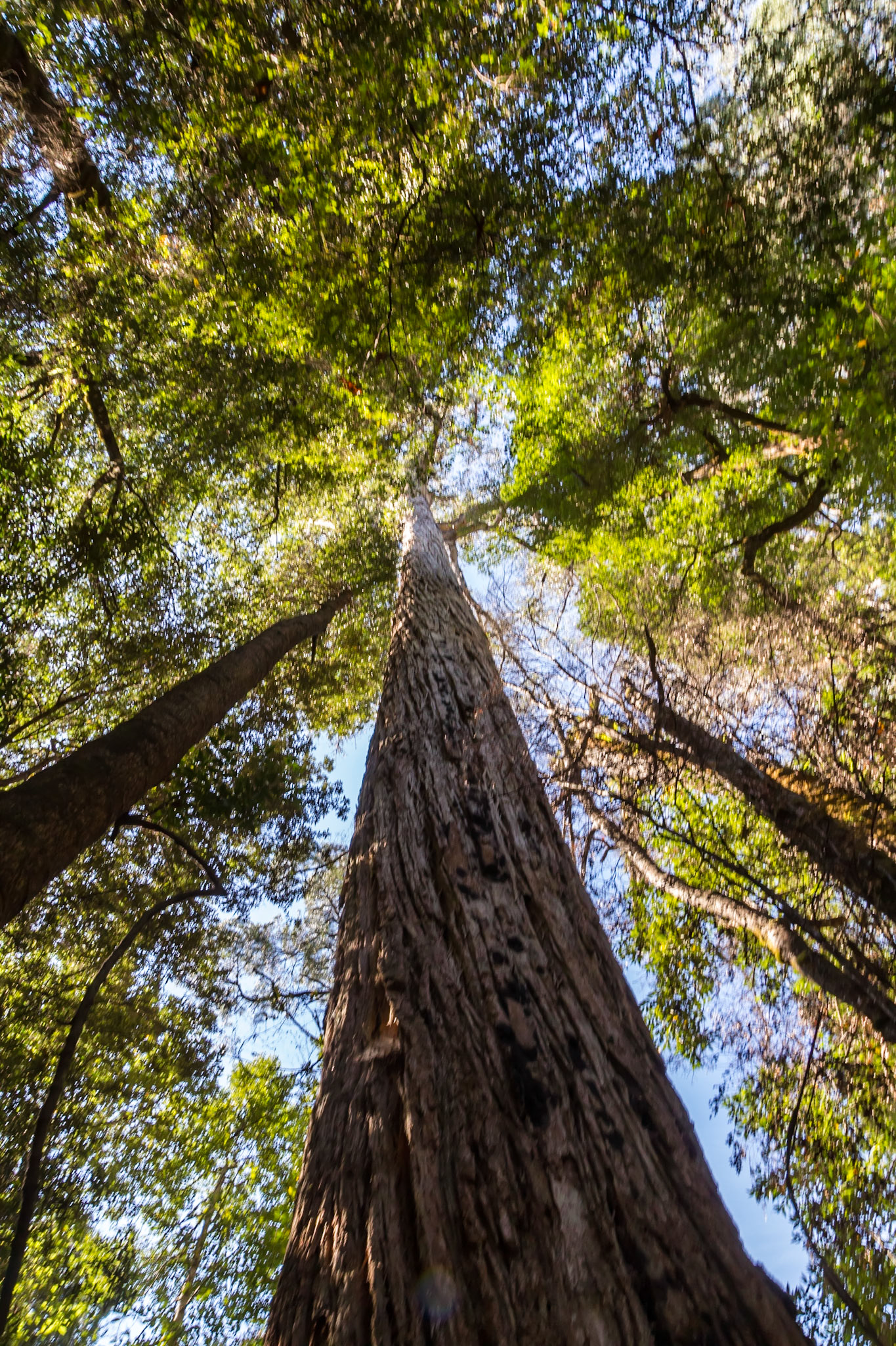
Blackwood (Acacia melanoxylon)
Stringy-bark (Eucalyptus obliqua)
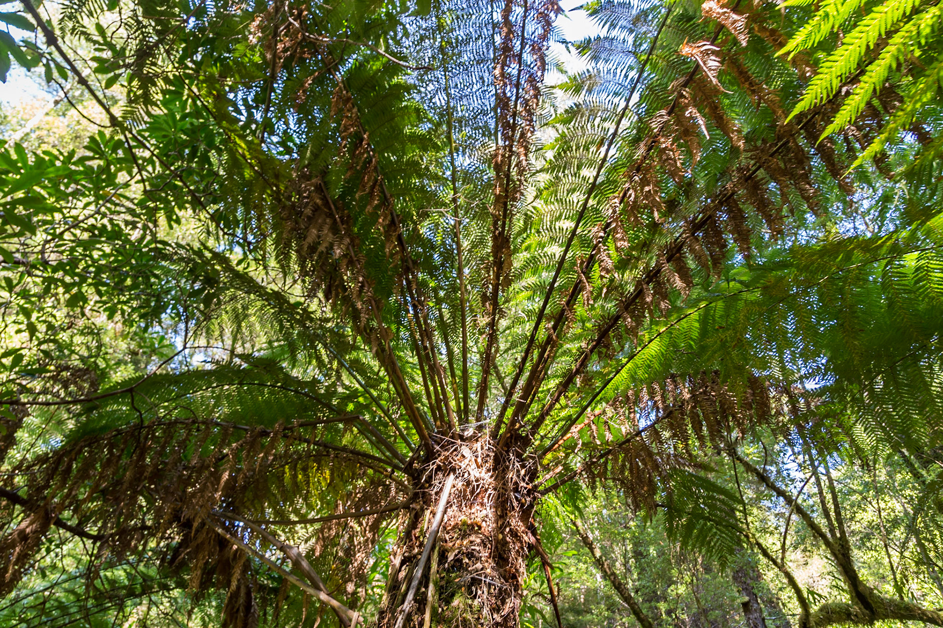
Manfern (Dicksonia antarctica)
Leatherwood (Eucryhia lucidia)
Celery Top Pine (Phyllocladus aspleniifolius). One of Tasmania's best known pines. The hard, dense timber is used for boat building, decking , furniture and crafts.
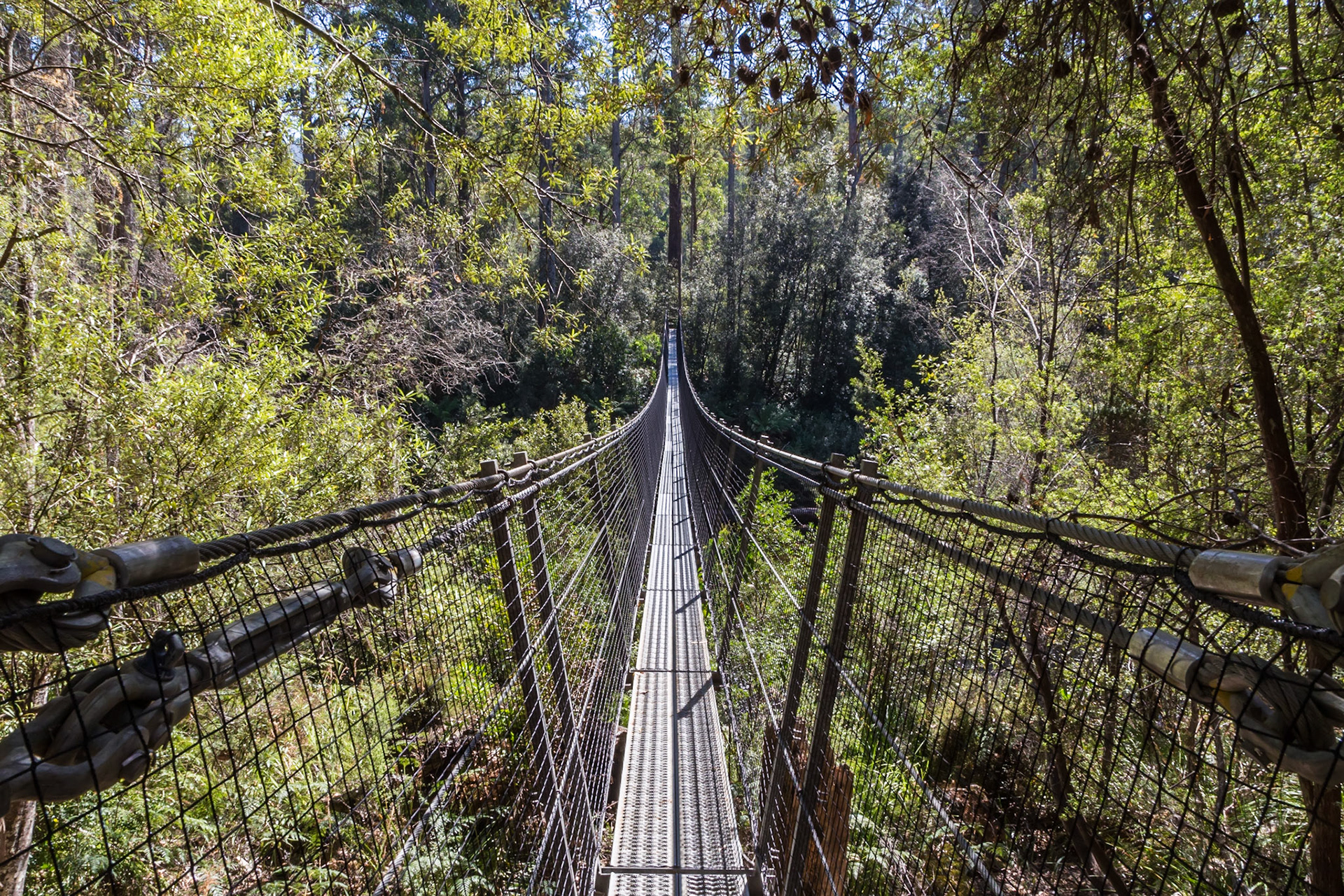
Picton River Swinging Bridge
Picton River, looking upstream from the swinging bridge
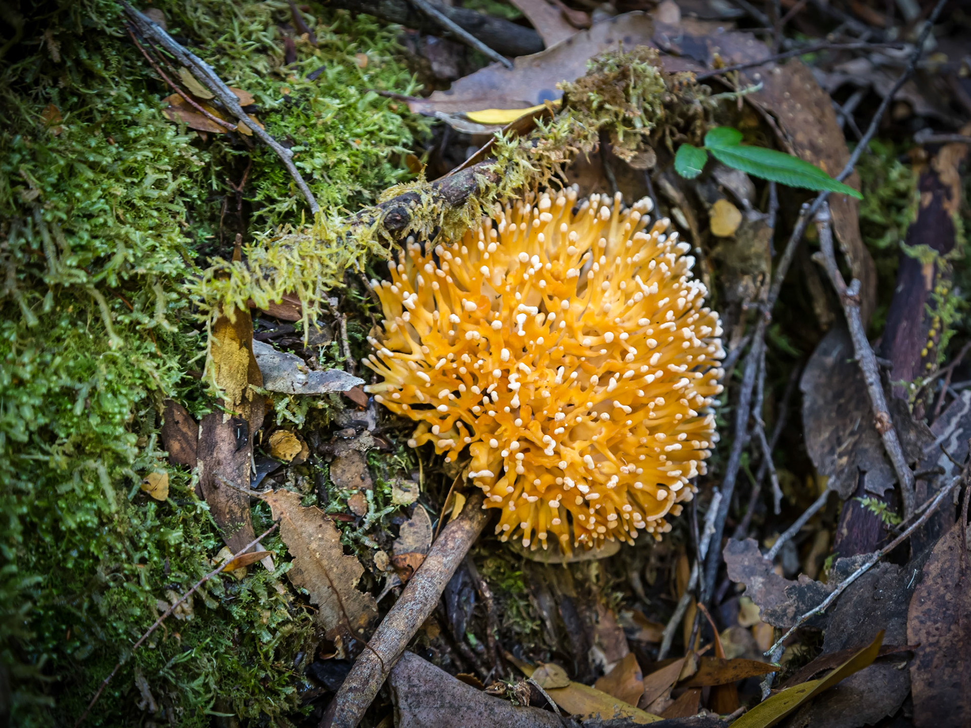
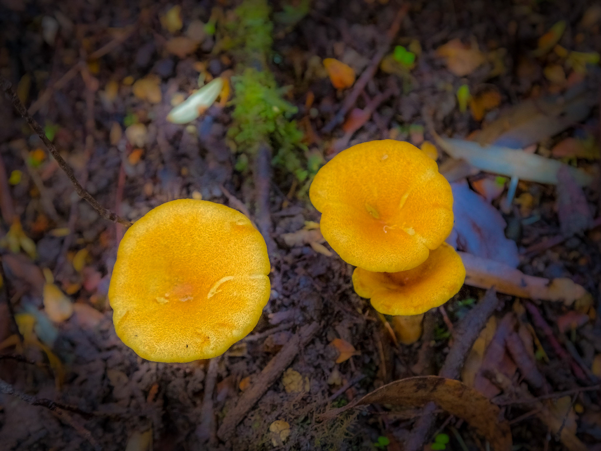
A pretty fungus bloom. Amongst the decaying timbers and litter of the forest floor.
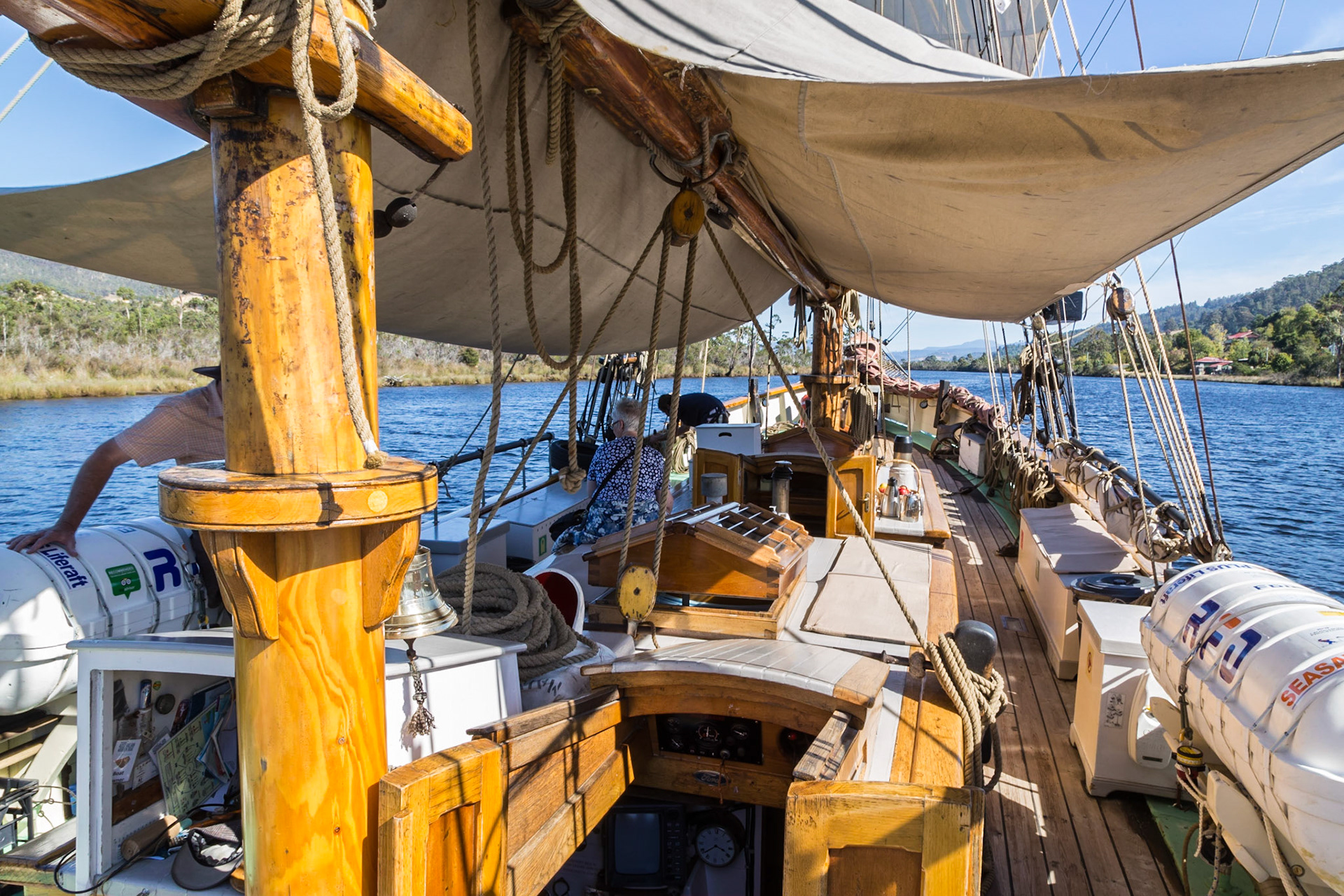
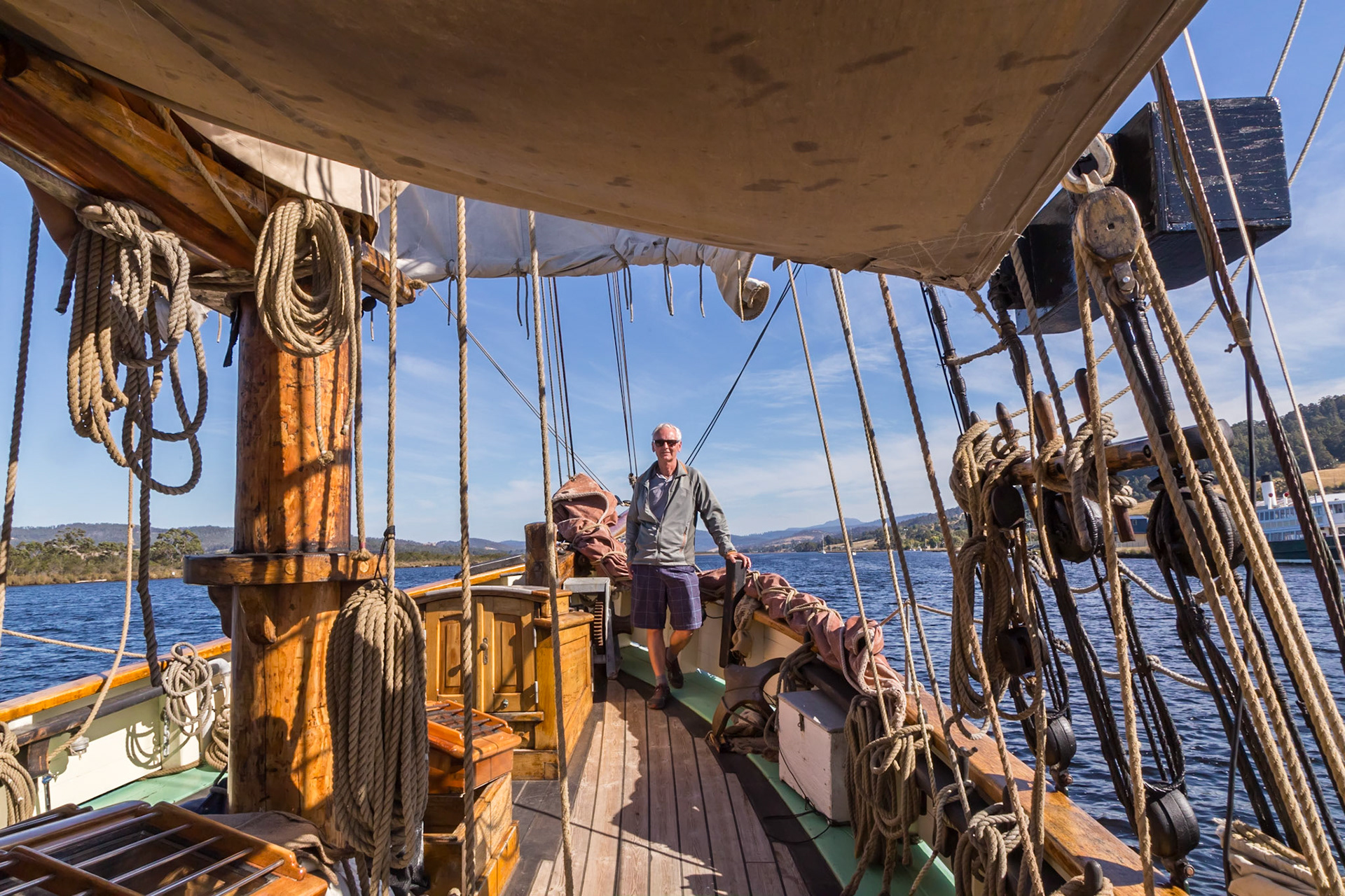
On the ketch 'Yukon' sailing on the Huon River. Heading north, up-river.
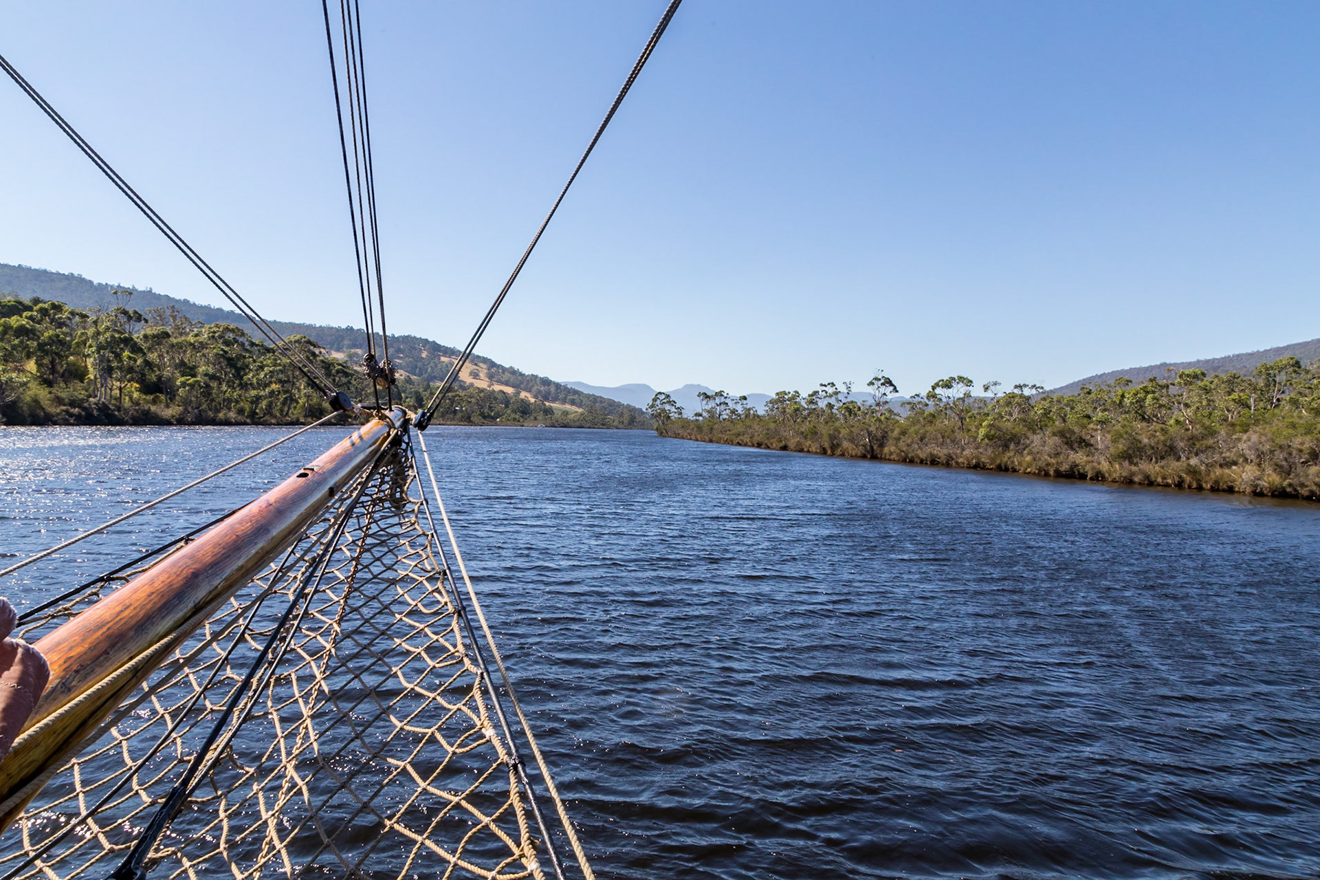
View aft of the ketch 'Yukon' sailing on the Huon River
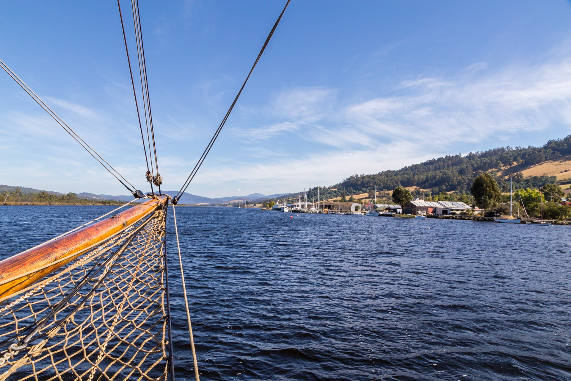
On the Ketch 'Yukon' sailing on the Huon River downriver with the town of Franklin off the starboard side
On the ketch 'Yukon' sailing on the Huon River
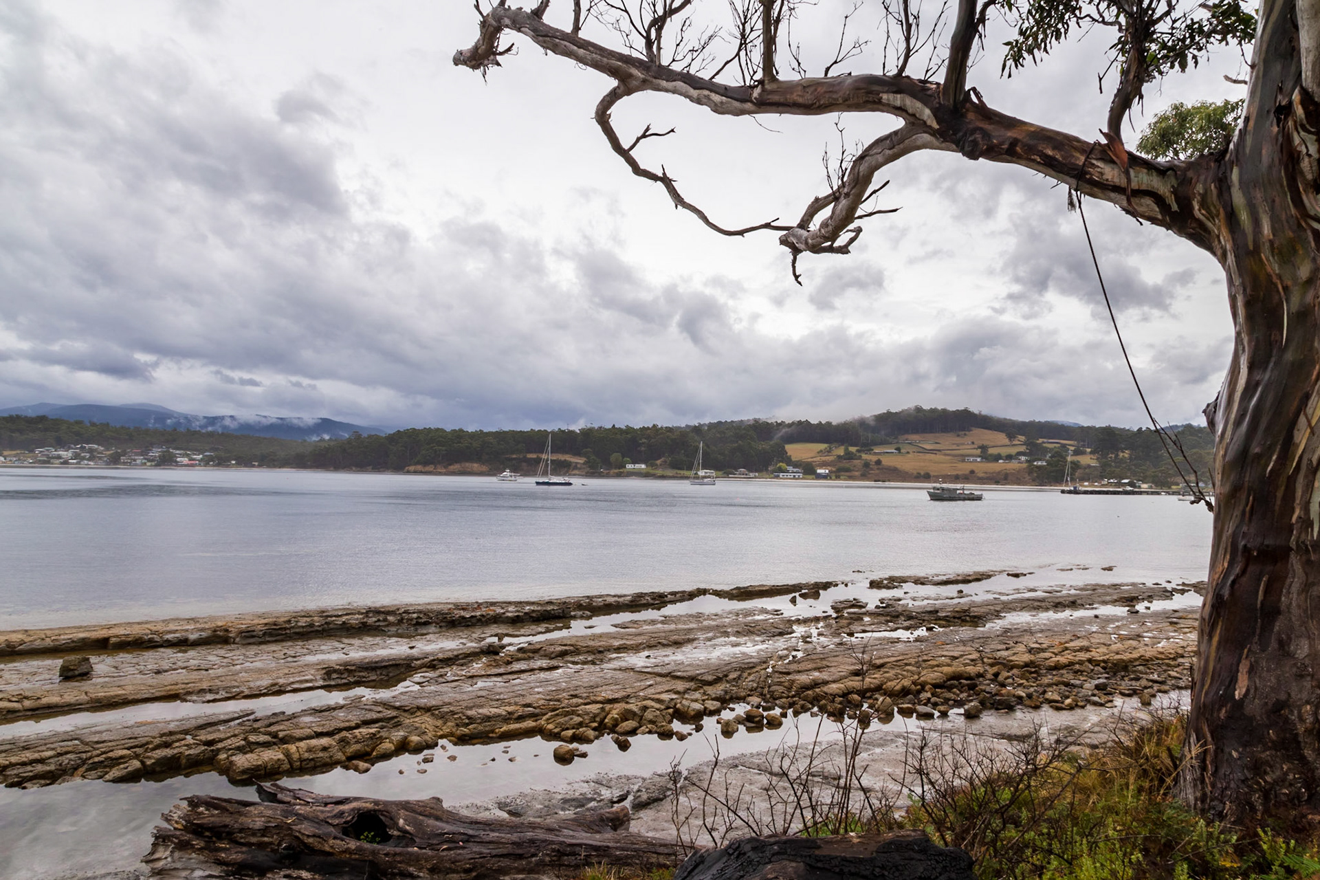
Port Esperance at Dover
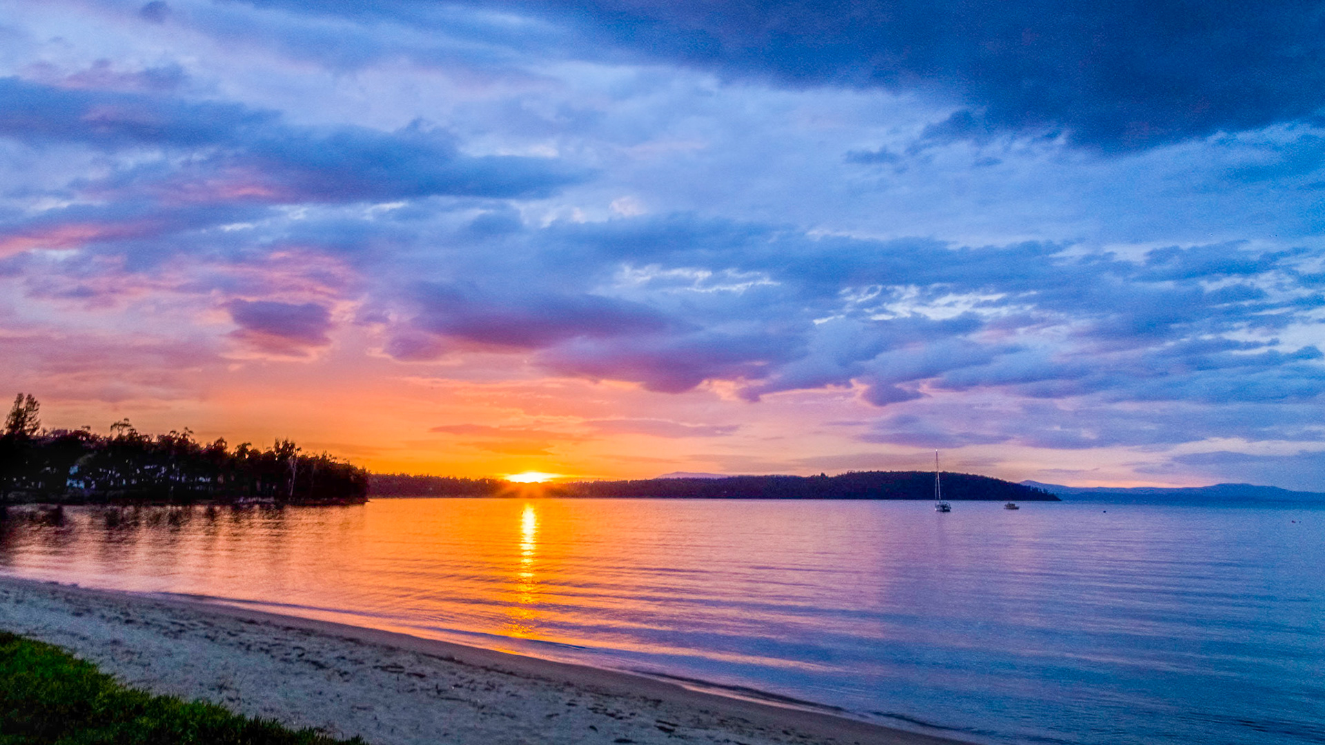
Dover Bay with the sunset behind Adamsons Peak
Port Esperance at Dover
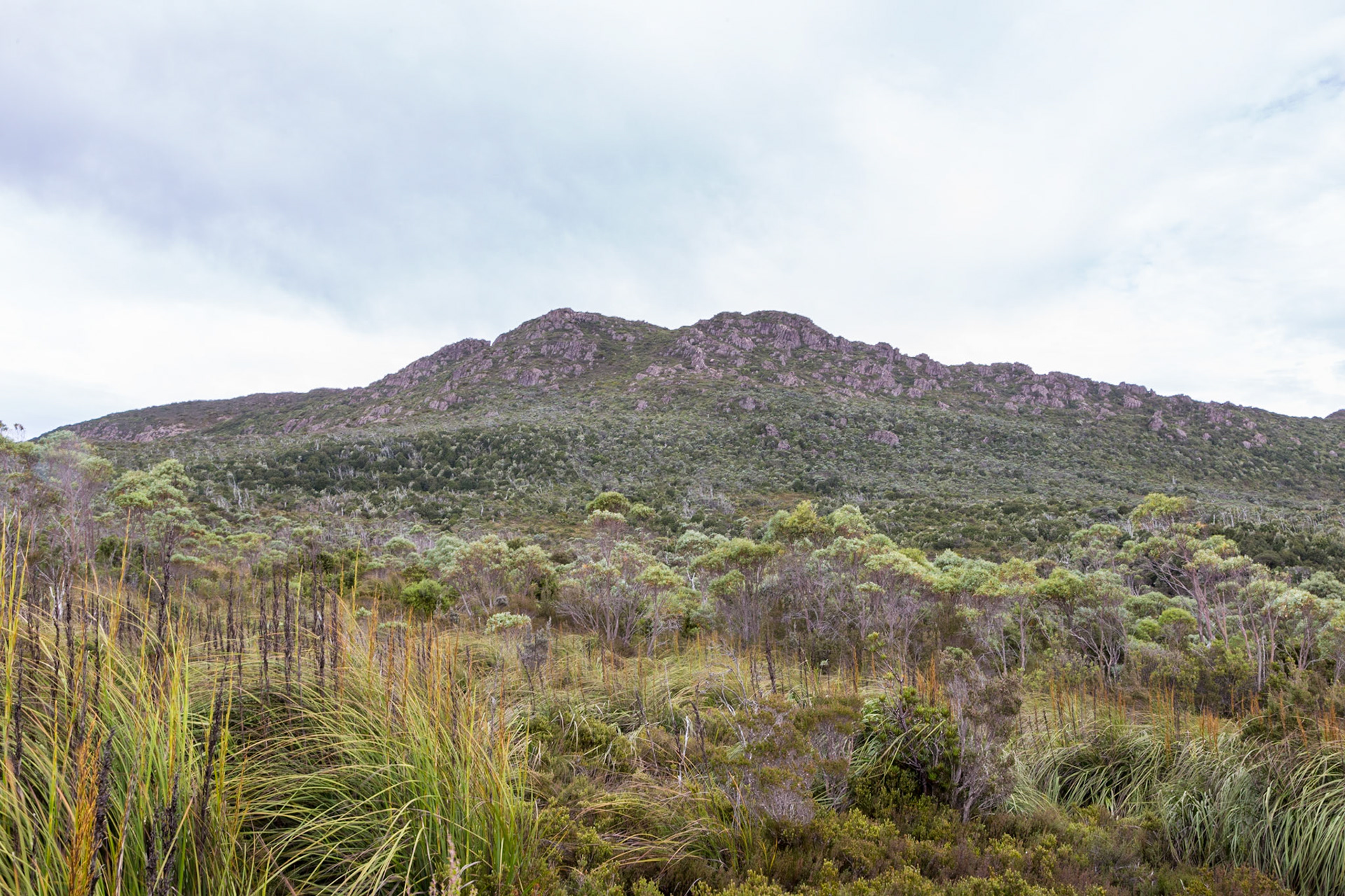
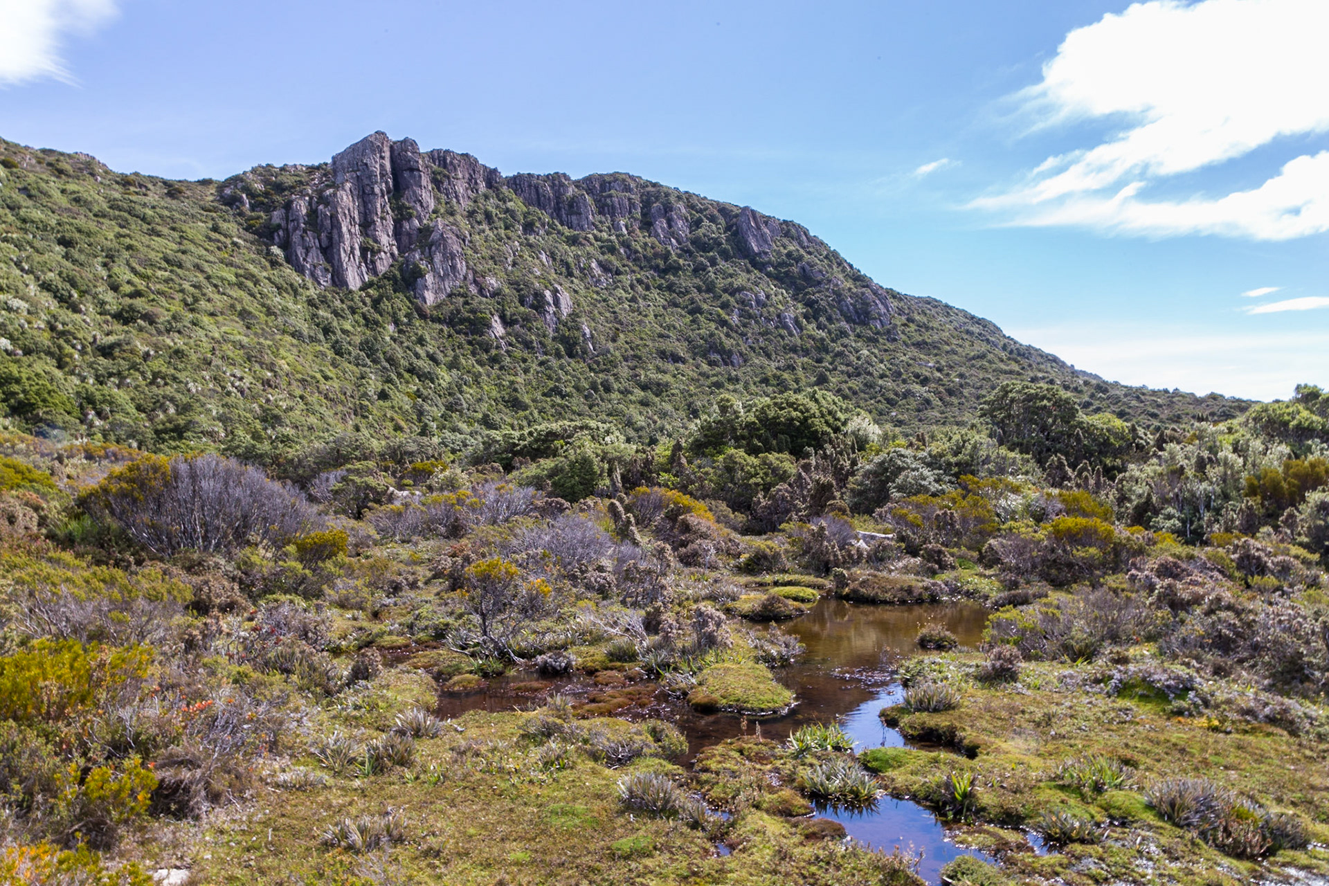
Hartz Peak, Hartz Mountains National Park
Hartz Mountains National Park
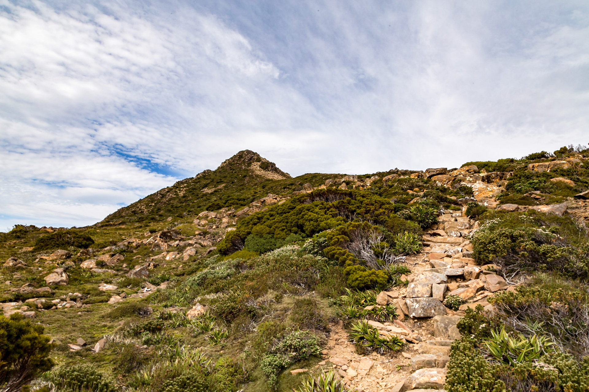
Hartz Peak trail, Hartz Mountains National Park
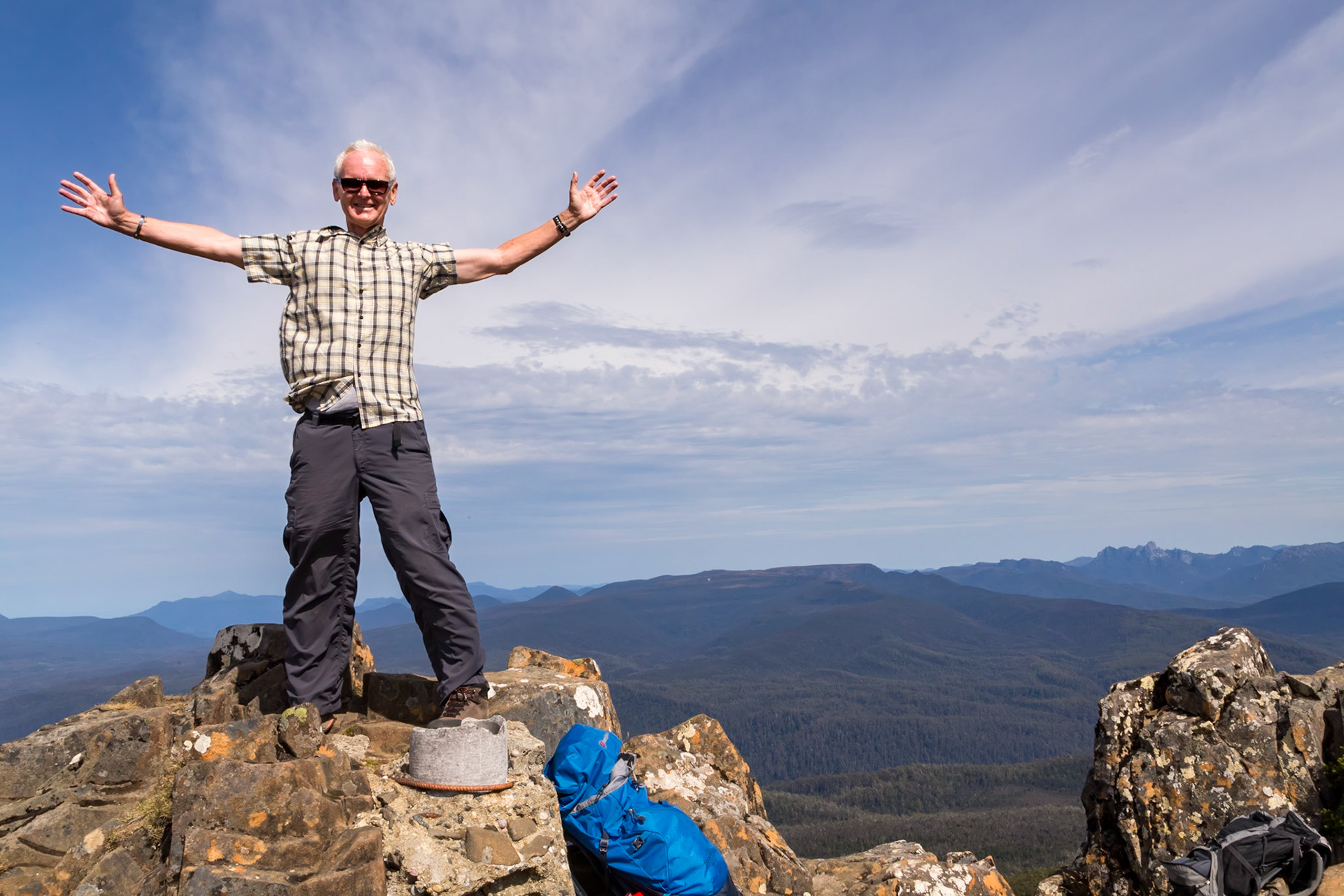
Reached the Summit of Hartz Peak (1254m)
A view from Hartz Peak to Bruny Island
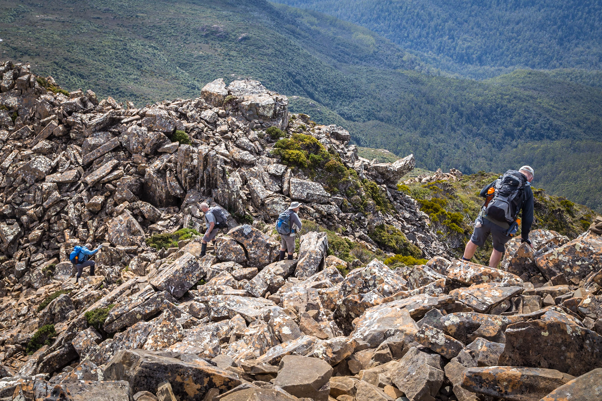
Hikers' descent from Hartz Peak
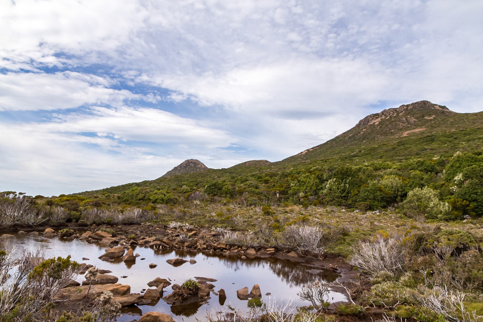
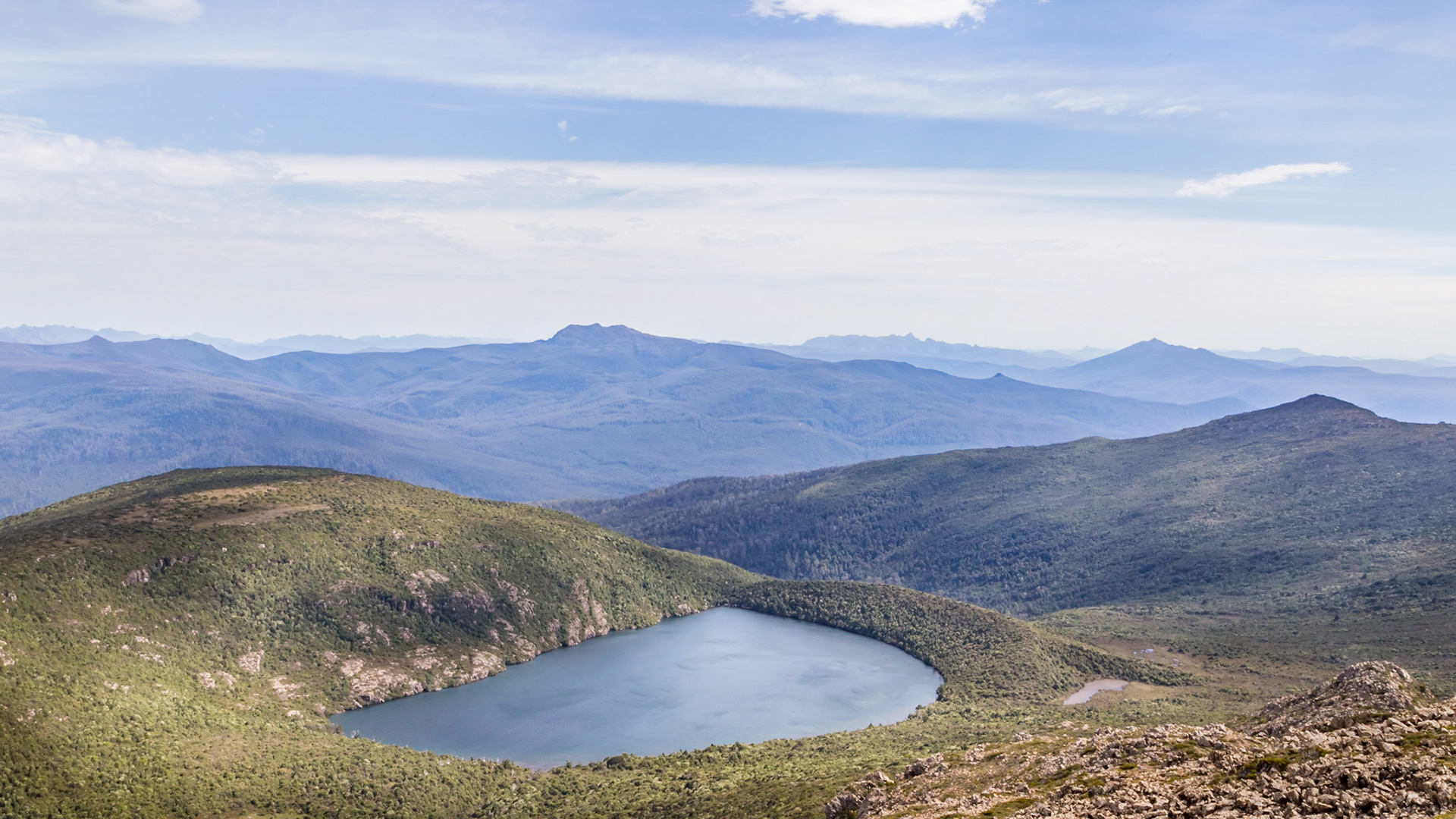
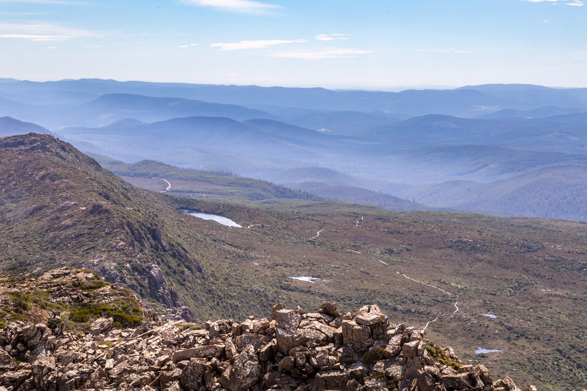
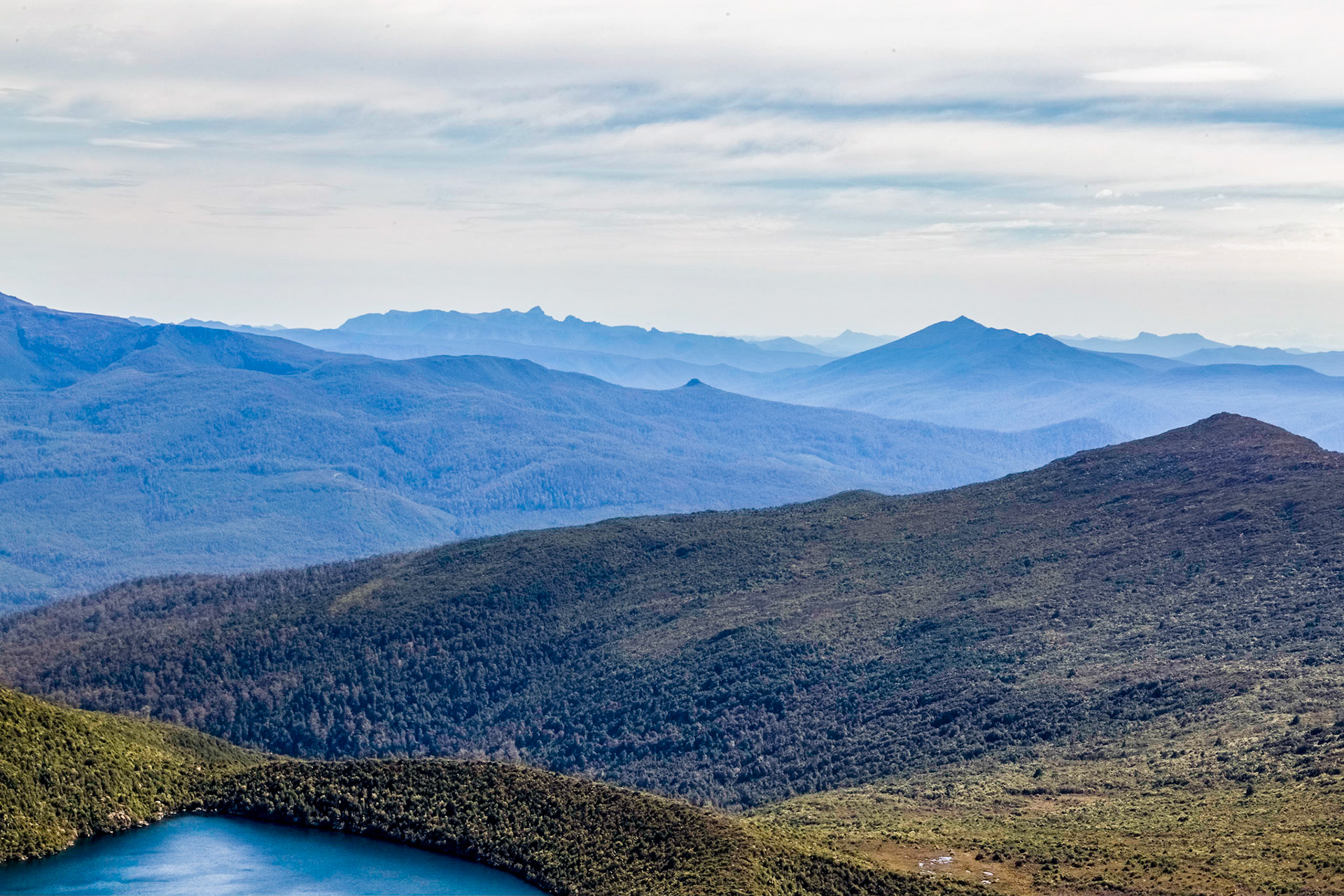
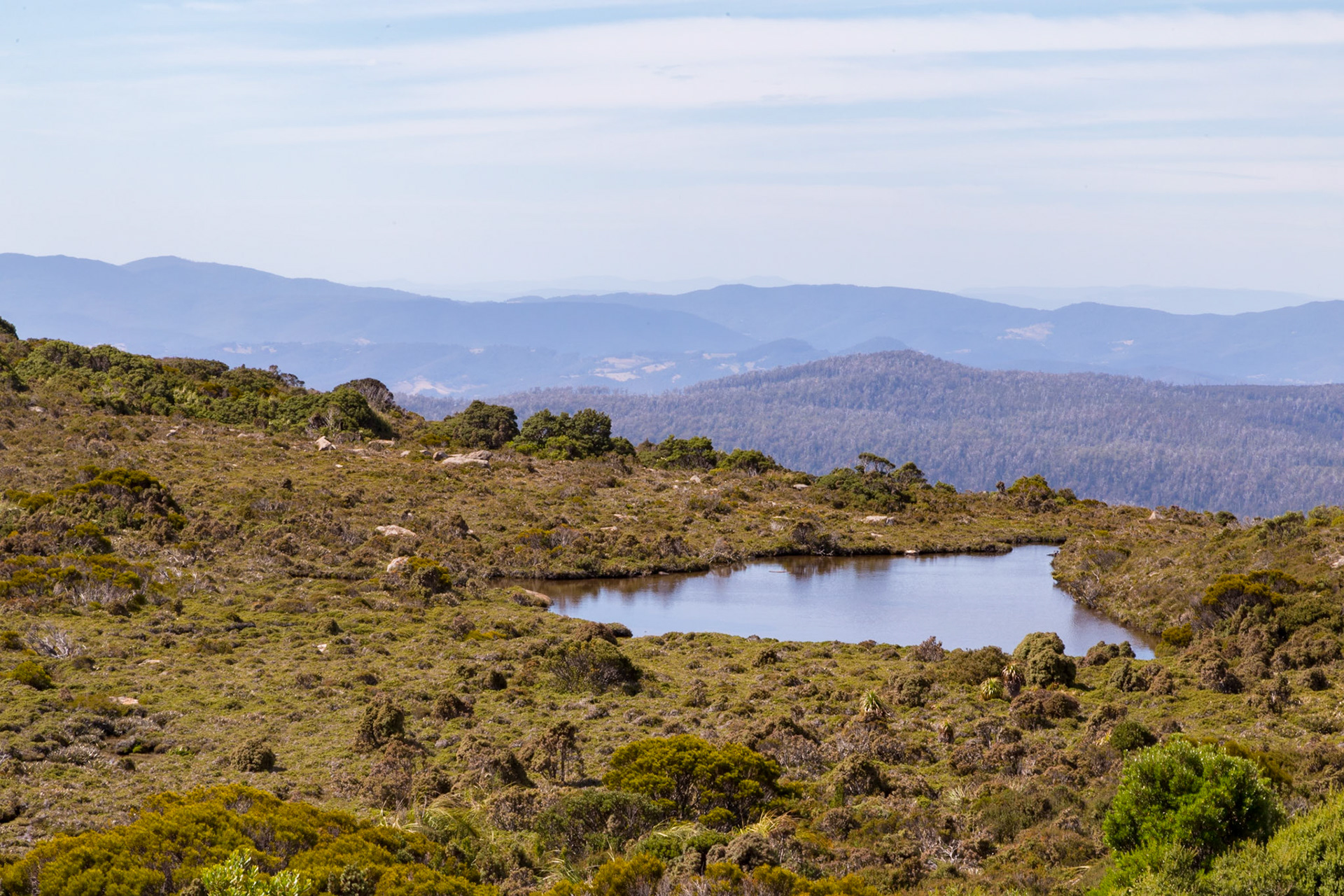
Hartz Lake. Hartz Mountains National Park
Hartz Mountains National Park
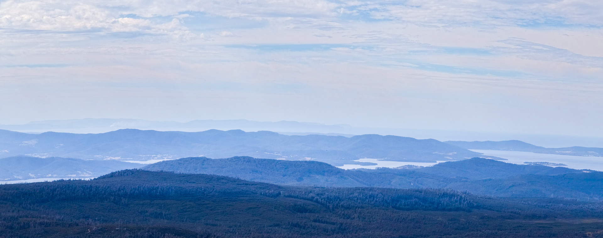
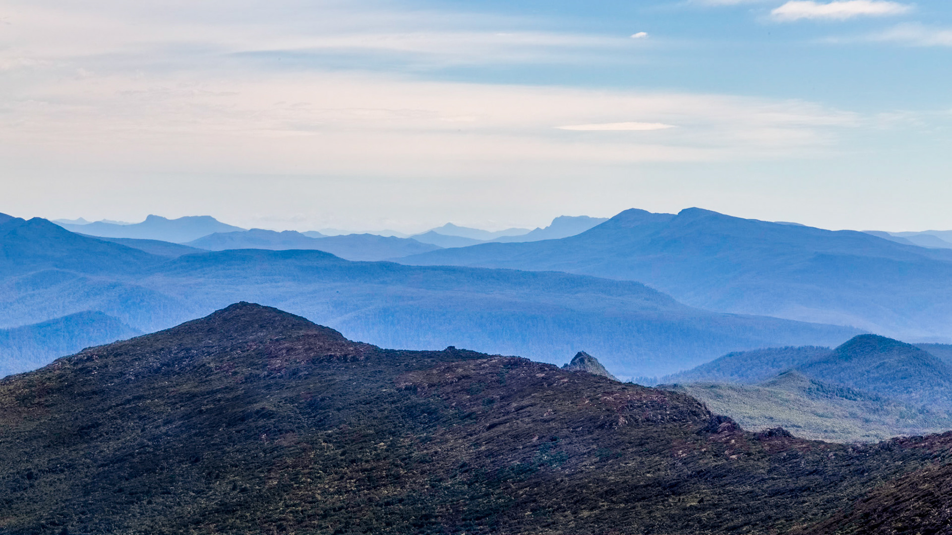
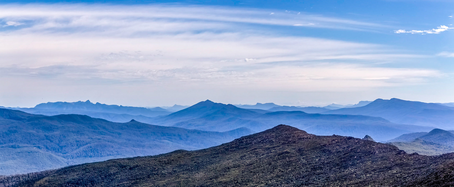
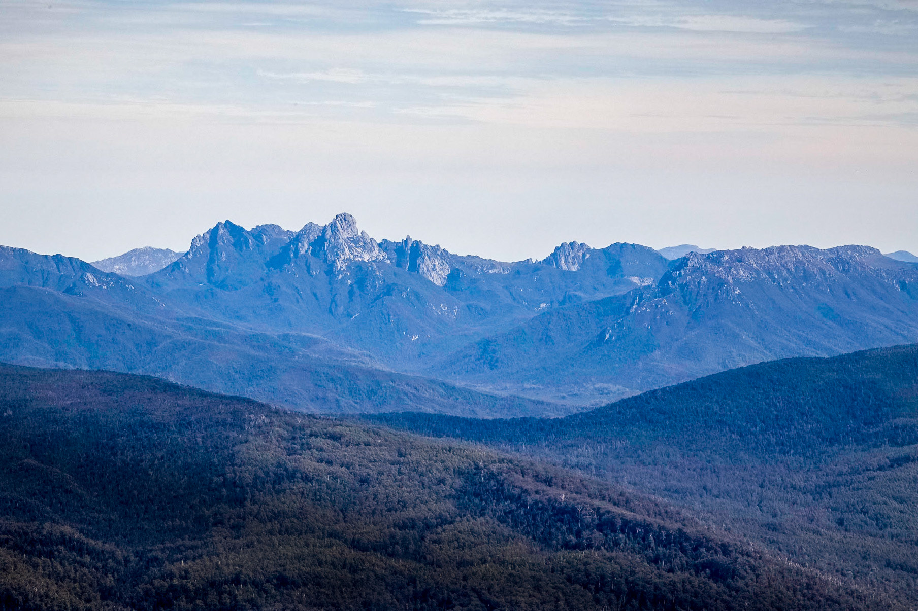
Hartz Mountains National Park and beyond to Eastern Arthur Range, Southwest National Park
Federation Peak, Eastern Arthur Range in the Southwest NP.
Hartz Peak hiking trail, passing Hartz Lake
Hartz Mountains National Park
On the trail, Hartz Mountains National Park
Hartz Mountains National Park
Unfortunately I was 15-20 minutes too late to capture the sunrise at its most spectacular whne the whole eastern sky was vivid red and orange.
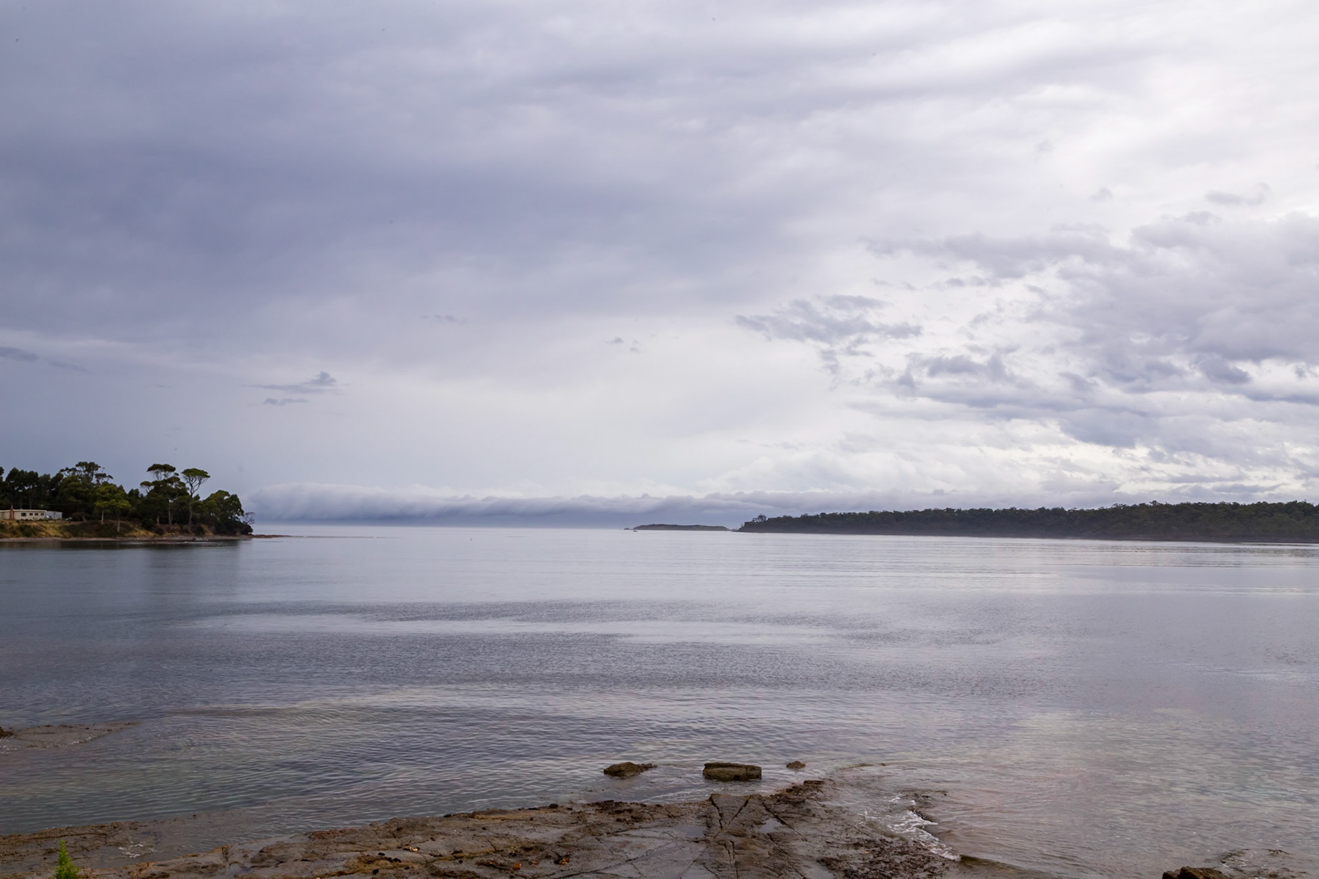
Southport
Southport
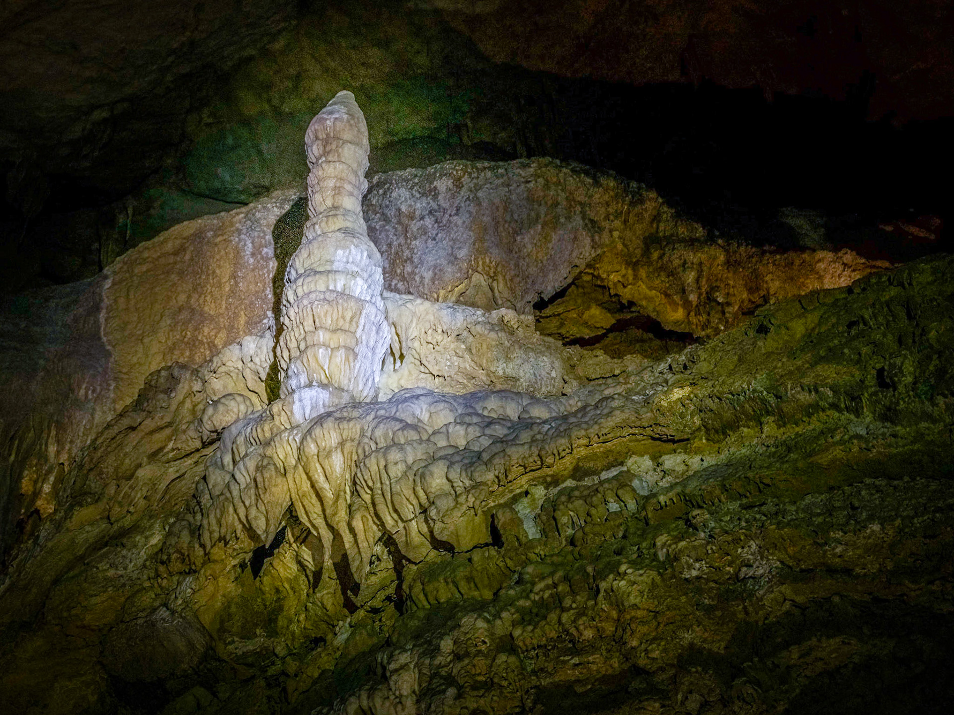
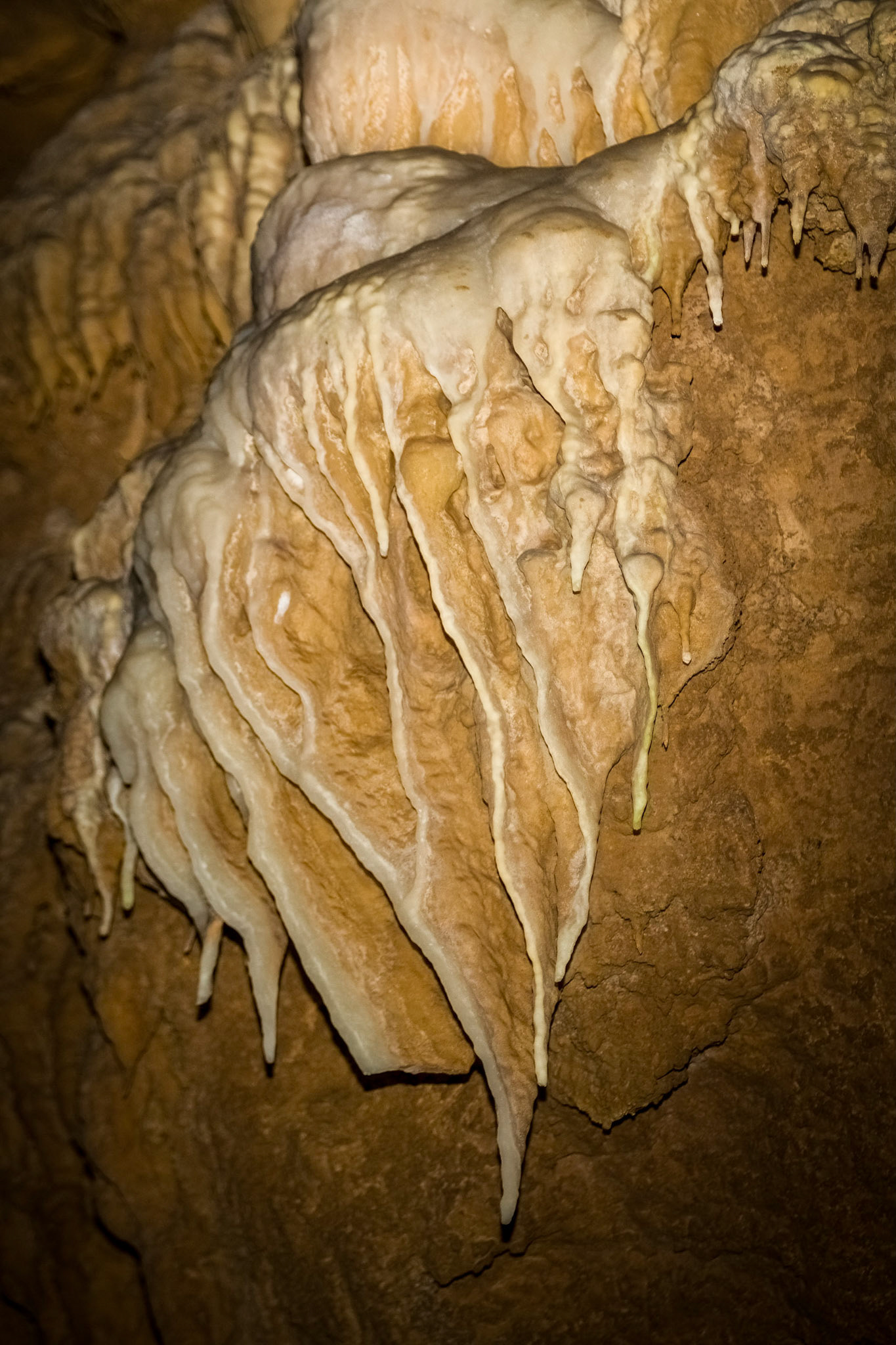
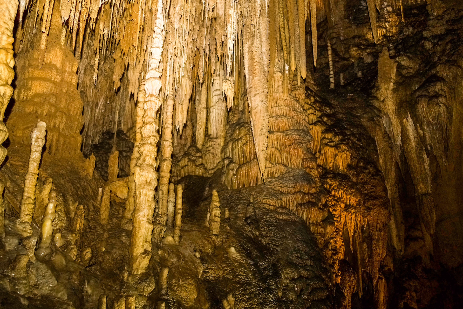
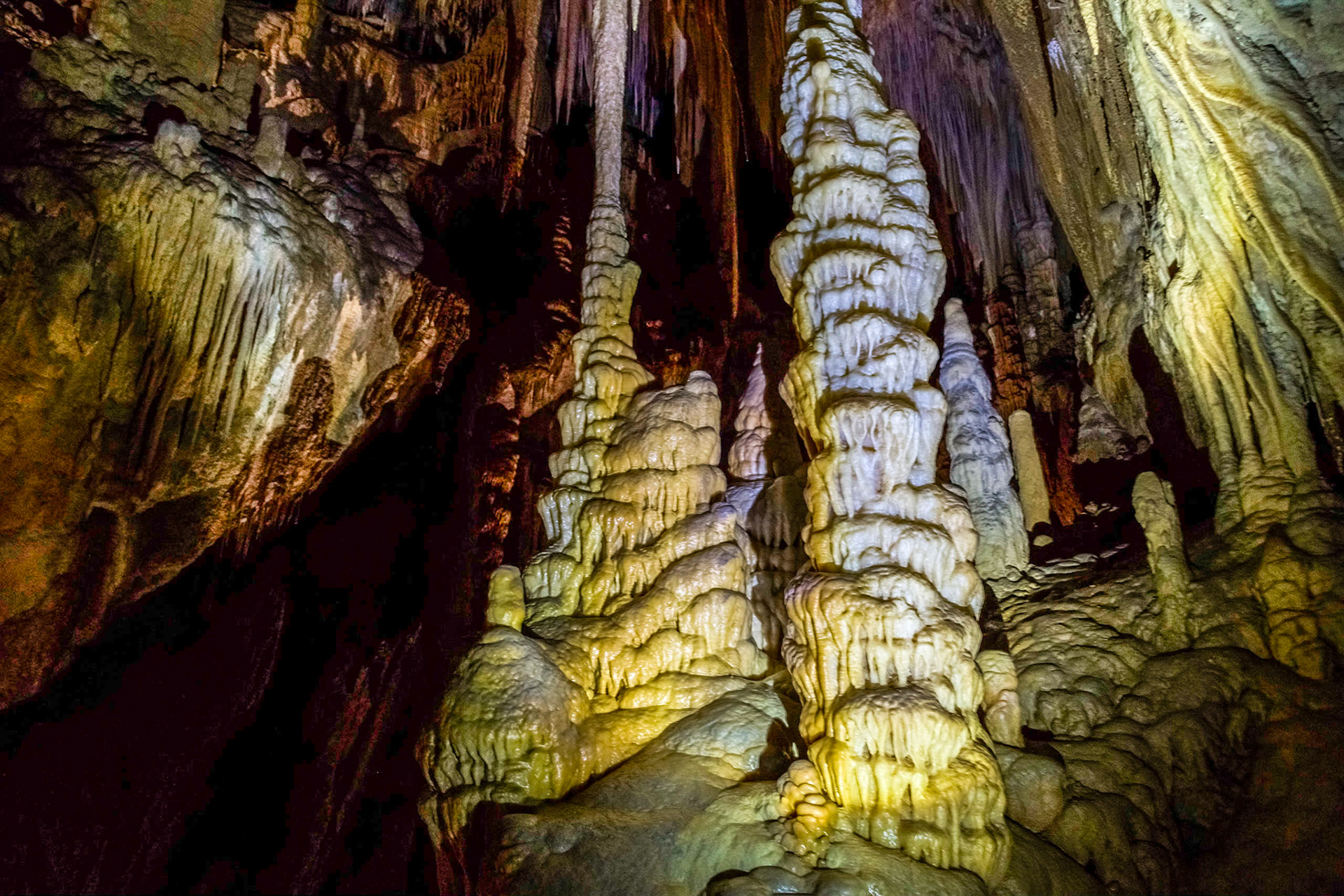
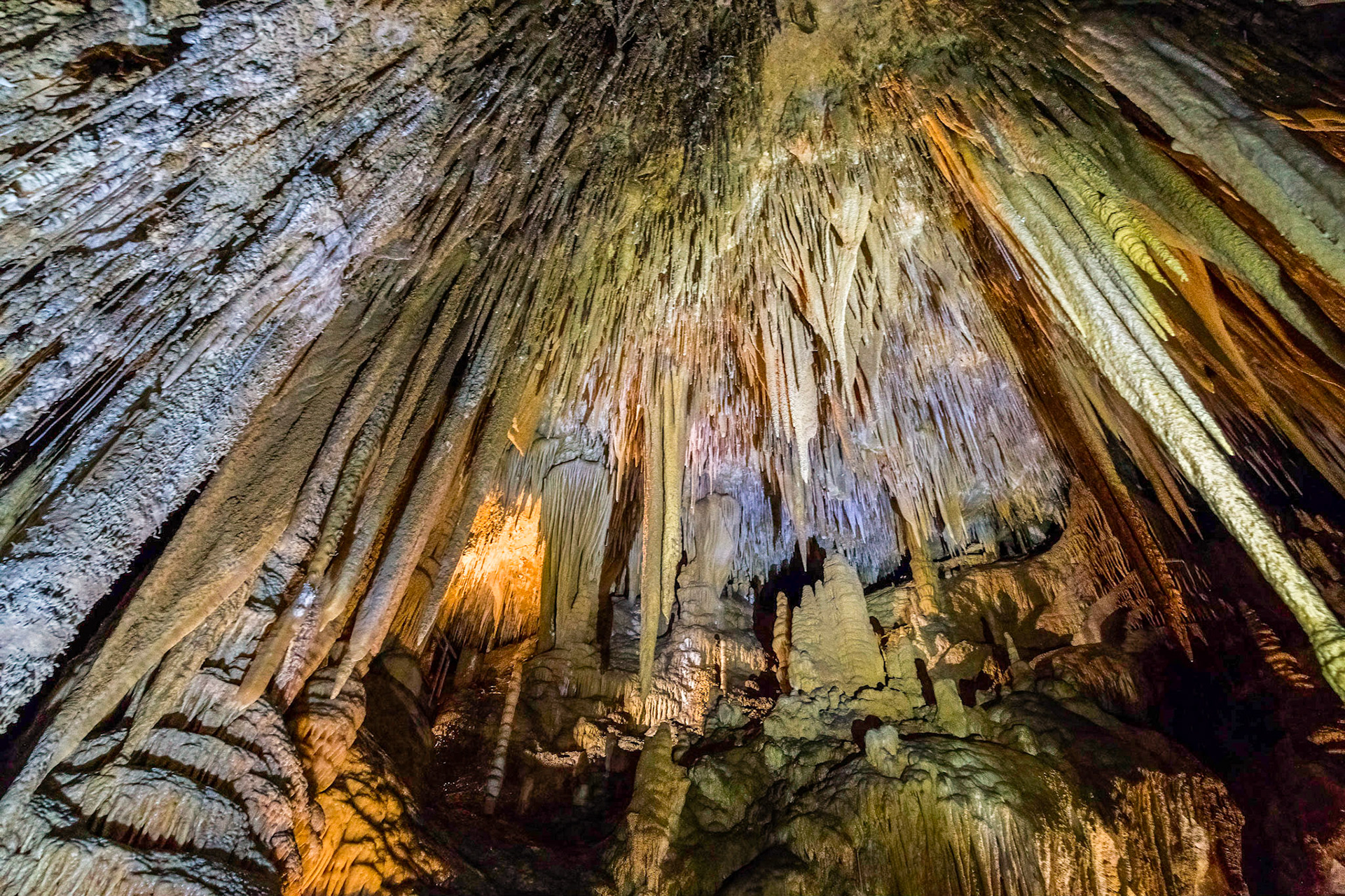
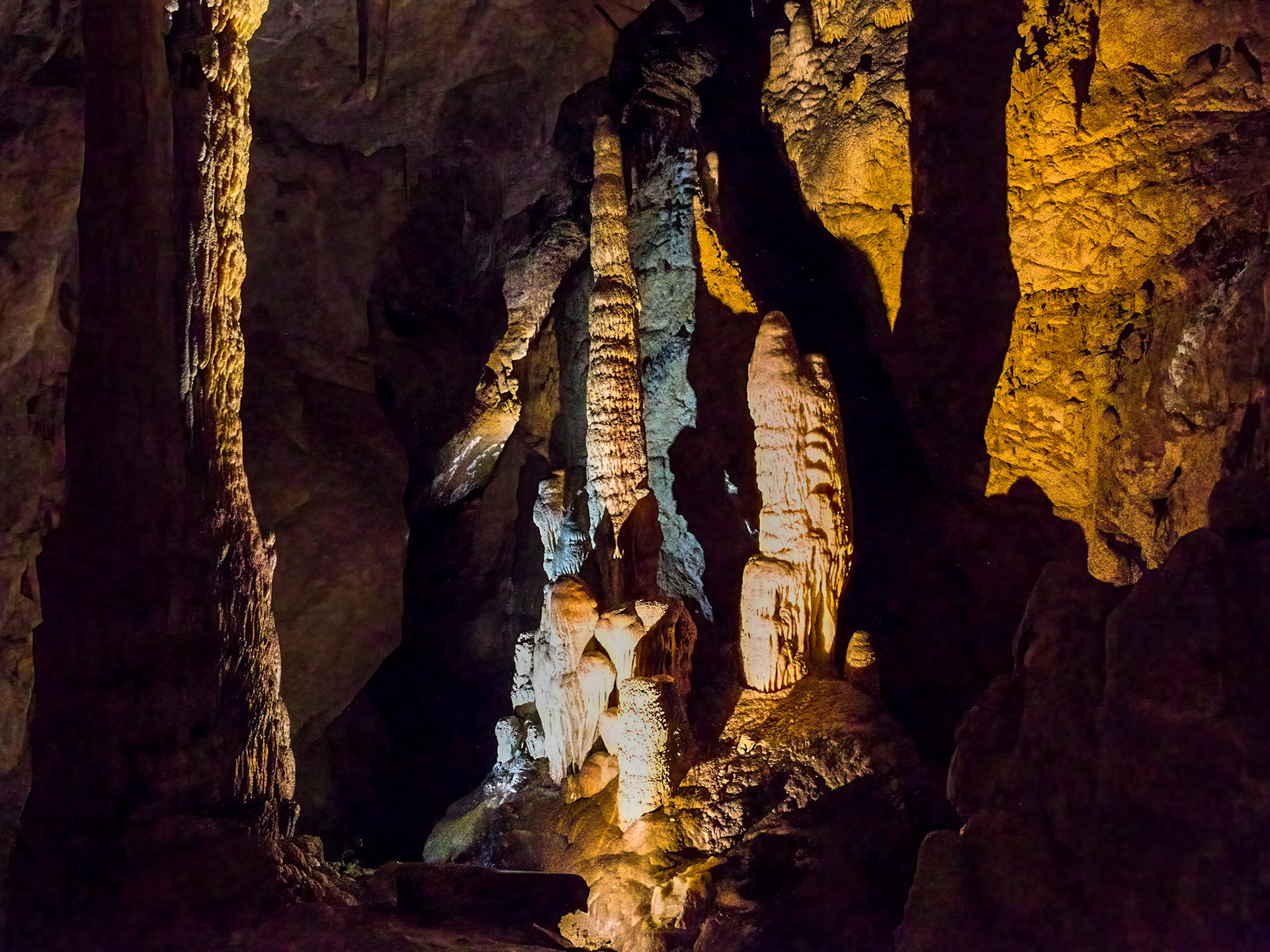
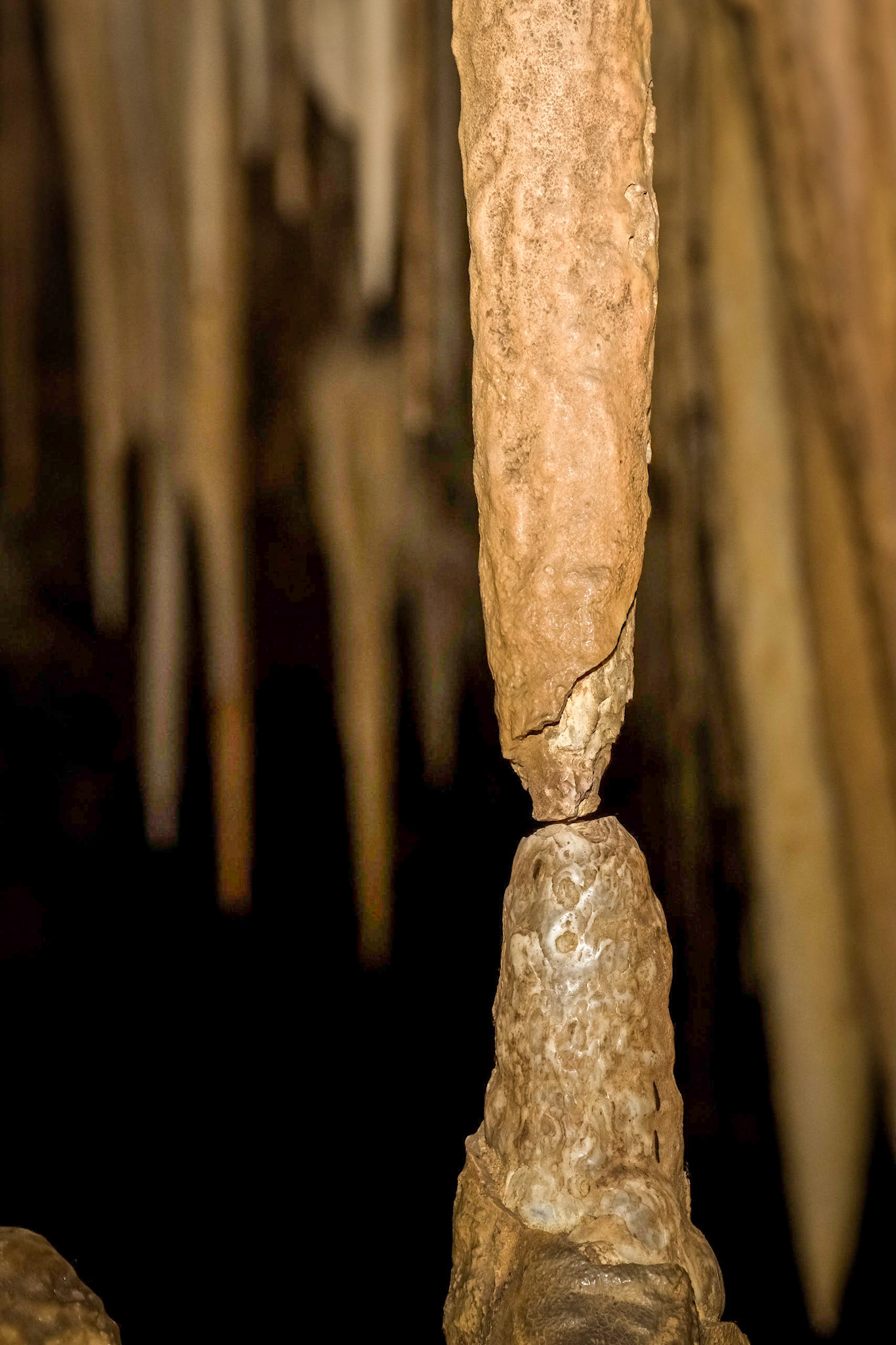
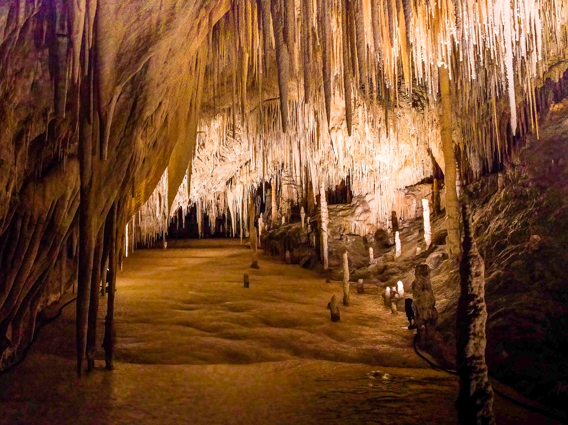
In the Newdegate Cave, one of the largest dolomite caves in the southern hemisphere.
In the Newdegate Cave, one of the largest dolomite caves in the southern hemisphere.
In the Newdegate Cave, one of the largest dolomite caves in the southern hemisphere.
In the Newdegate Cave, one of the largest dolomite caves in the southern hemisphere.
In the Newdegate Cave, one of the largest dolomite caves in the southern hemisphere.
In the Newdegate Cave, one of the largest dolomite caves in the southern hemisphere.
In the Newdegate Cave, one of the largest dolomite caves in the southern hemisphere.
In the Newdegate Cave, one of the largest dolomite caves in the southern hemisphere.
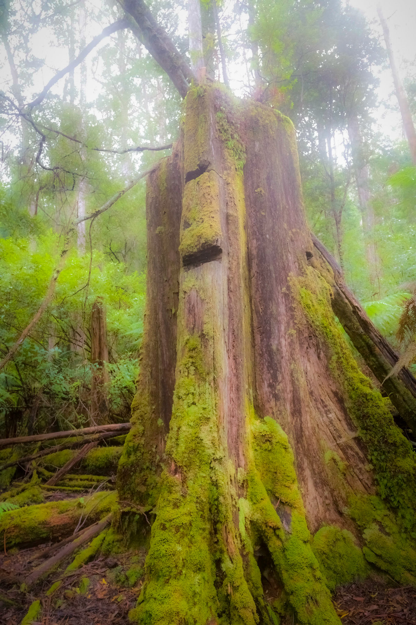
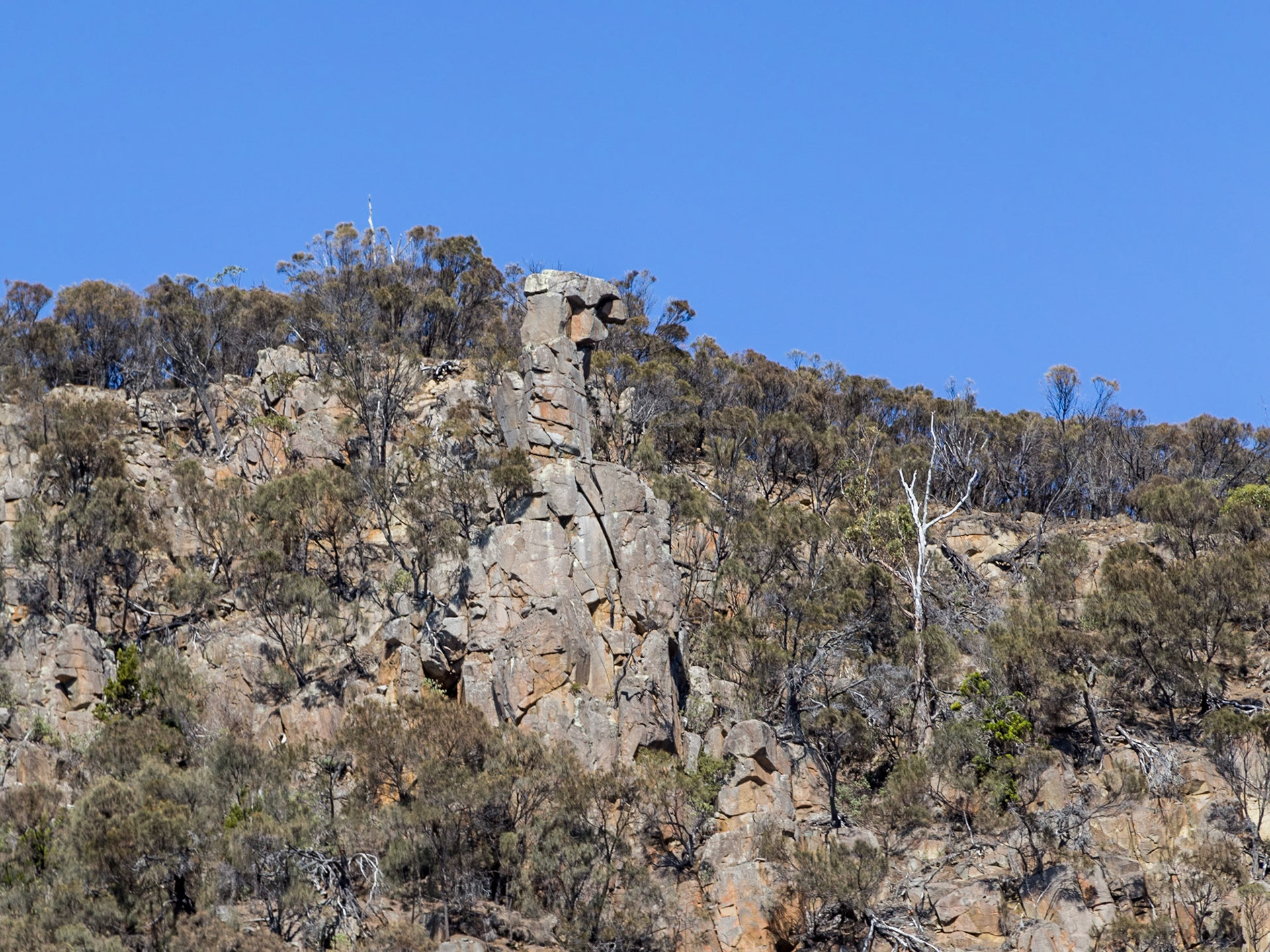
Tree stump, bearing the mark of notches cut in the tree. In the Hastings Caves and Thermal Springs Reserve.
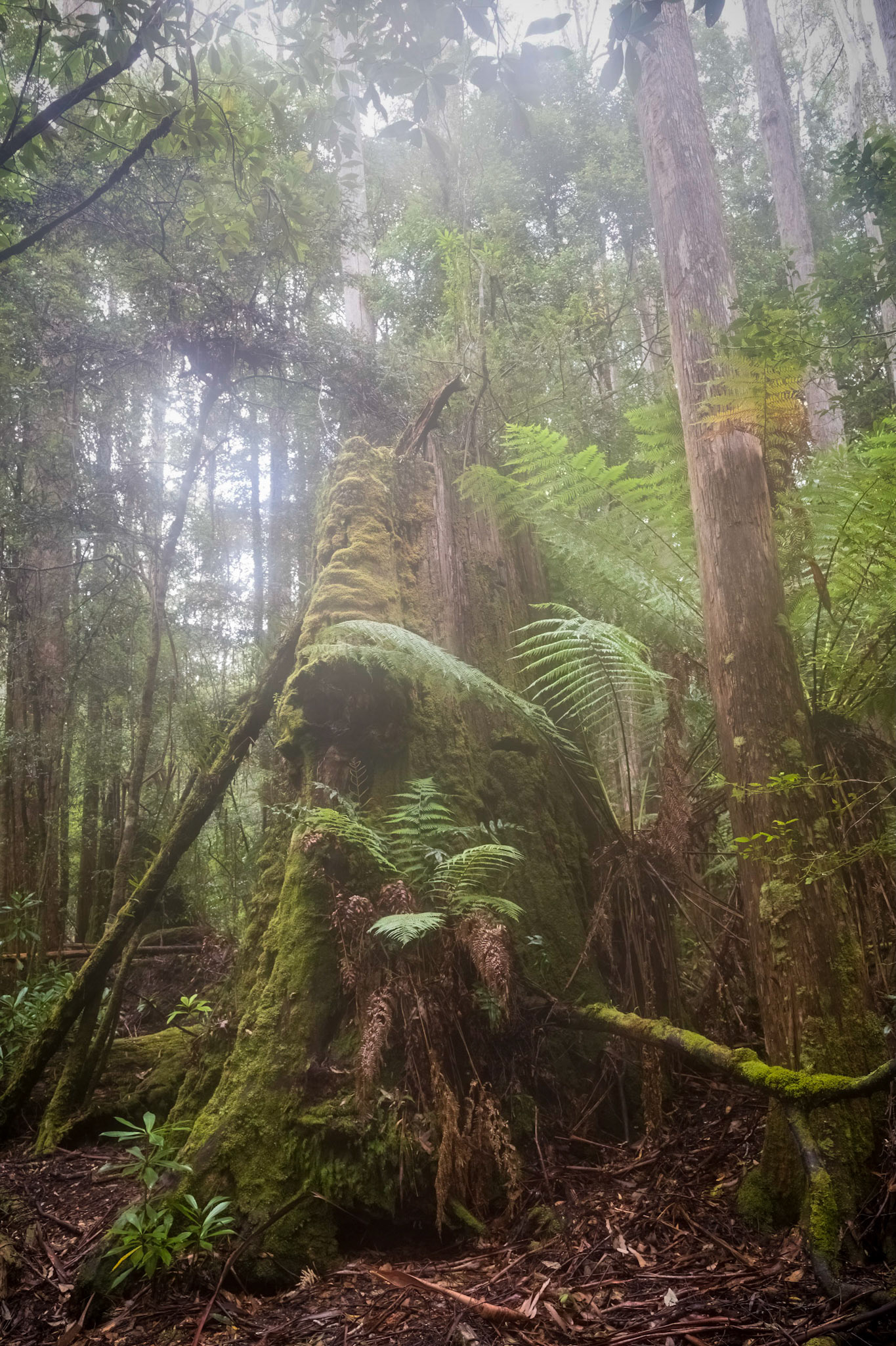
In the Hastings Caves and Thermal Springs Reserve.
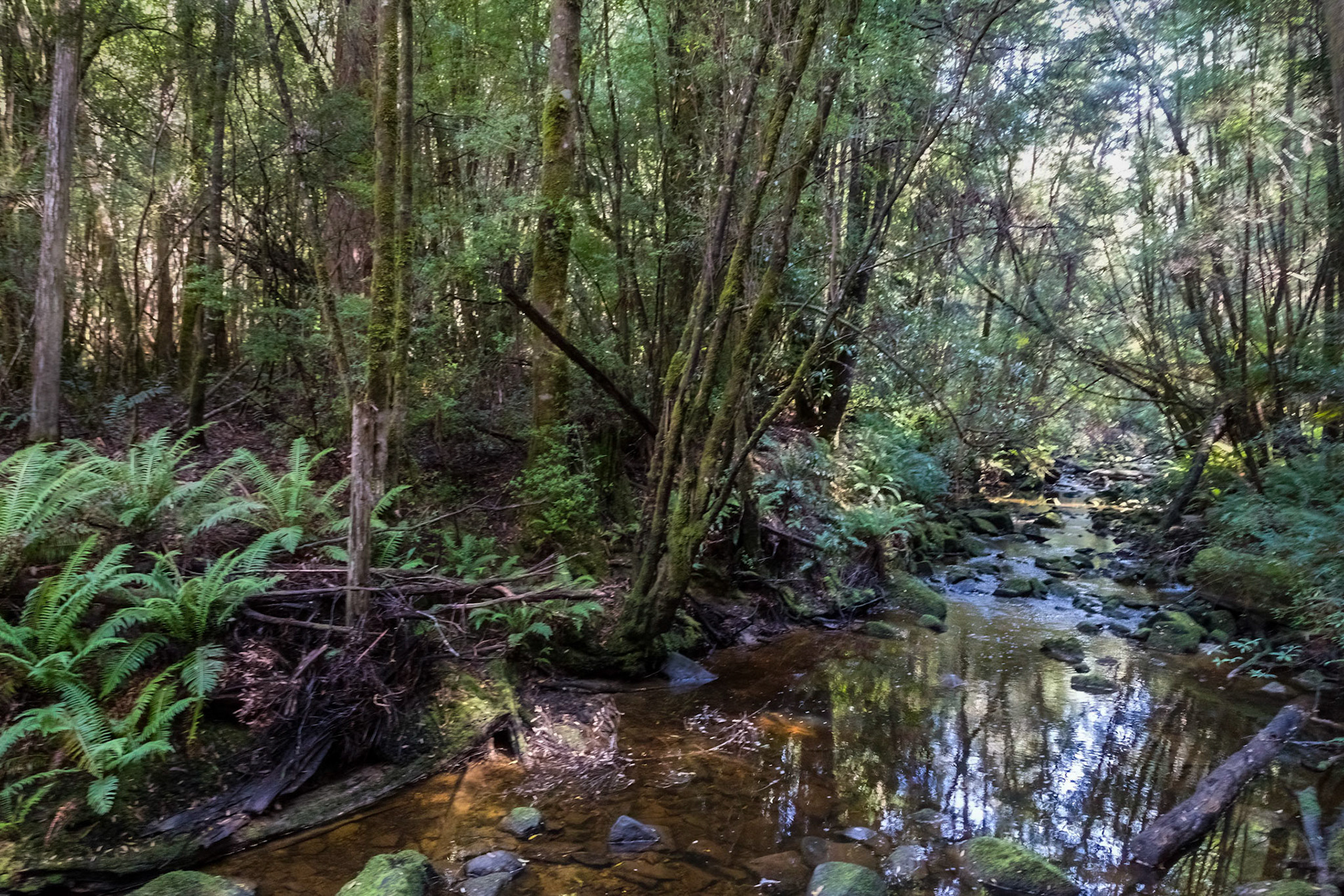
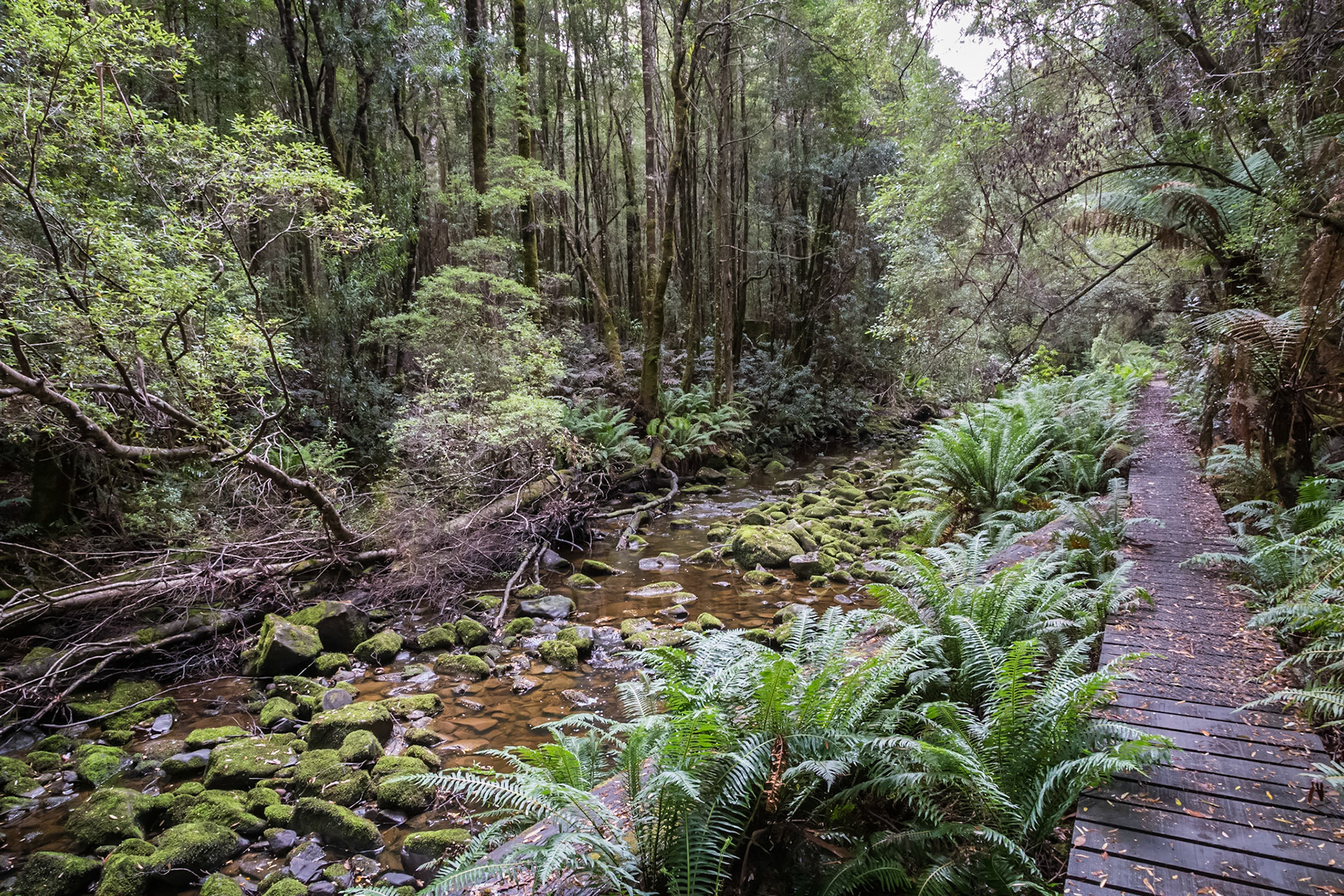
Creek alongside the trail to Duck Hole Lake
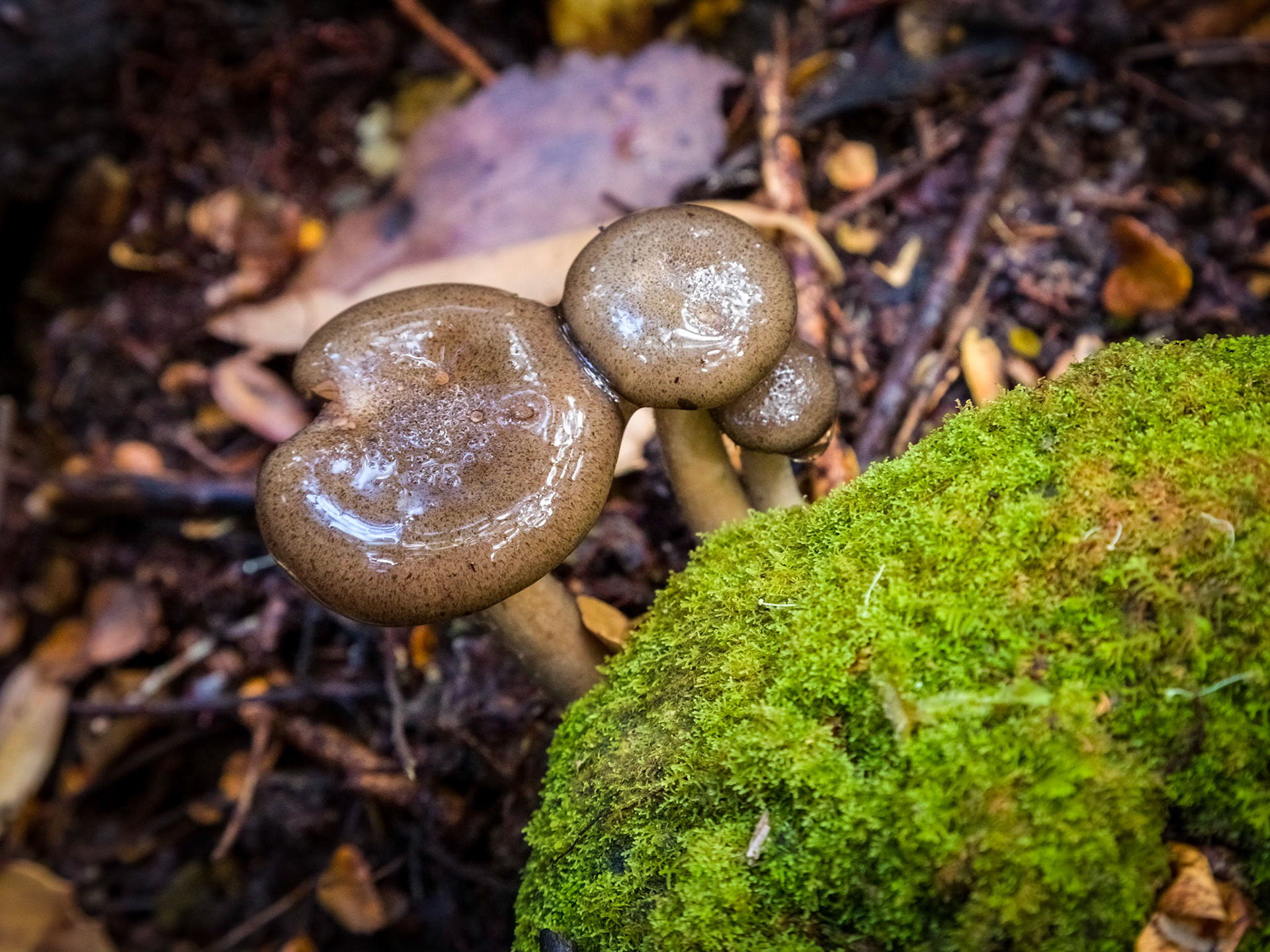
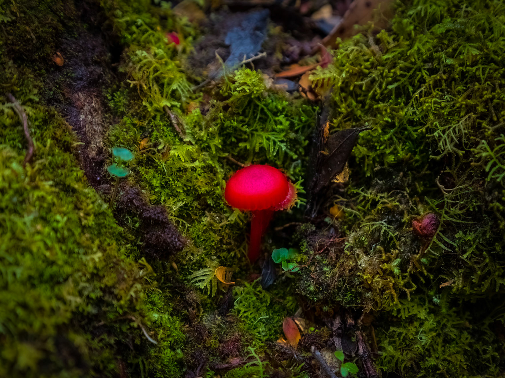
Fungus blooms amongst the decay of the forest floor
Fungus blooms amongst the decay of the forest floor
Fungus blooms amongst the decay of the forest floor
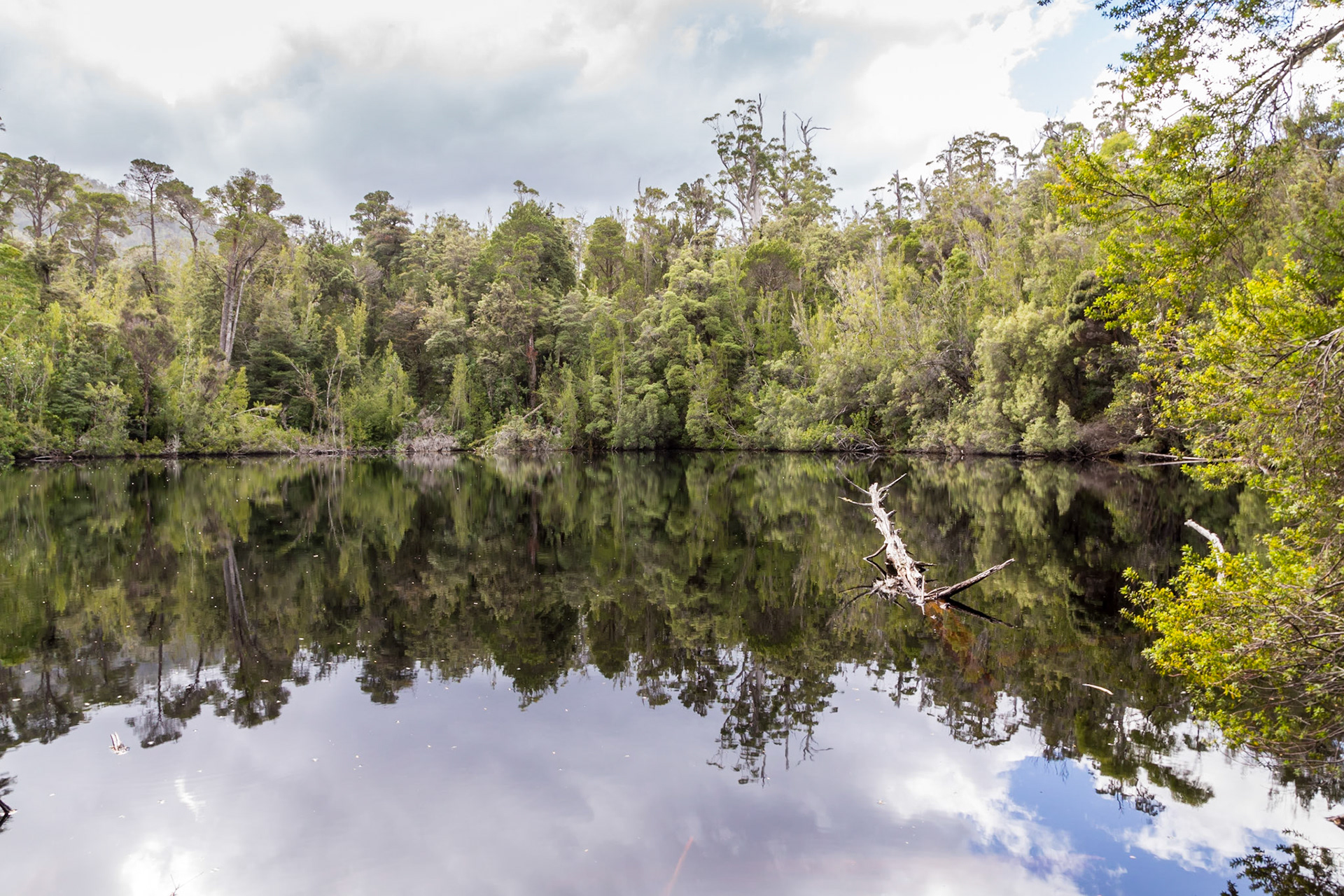
Duck Hole Lake
Creek alongside the trail to Duck Hole Lake
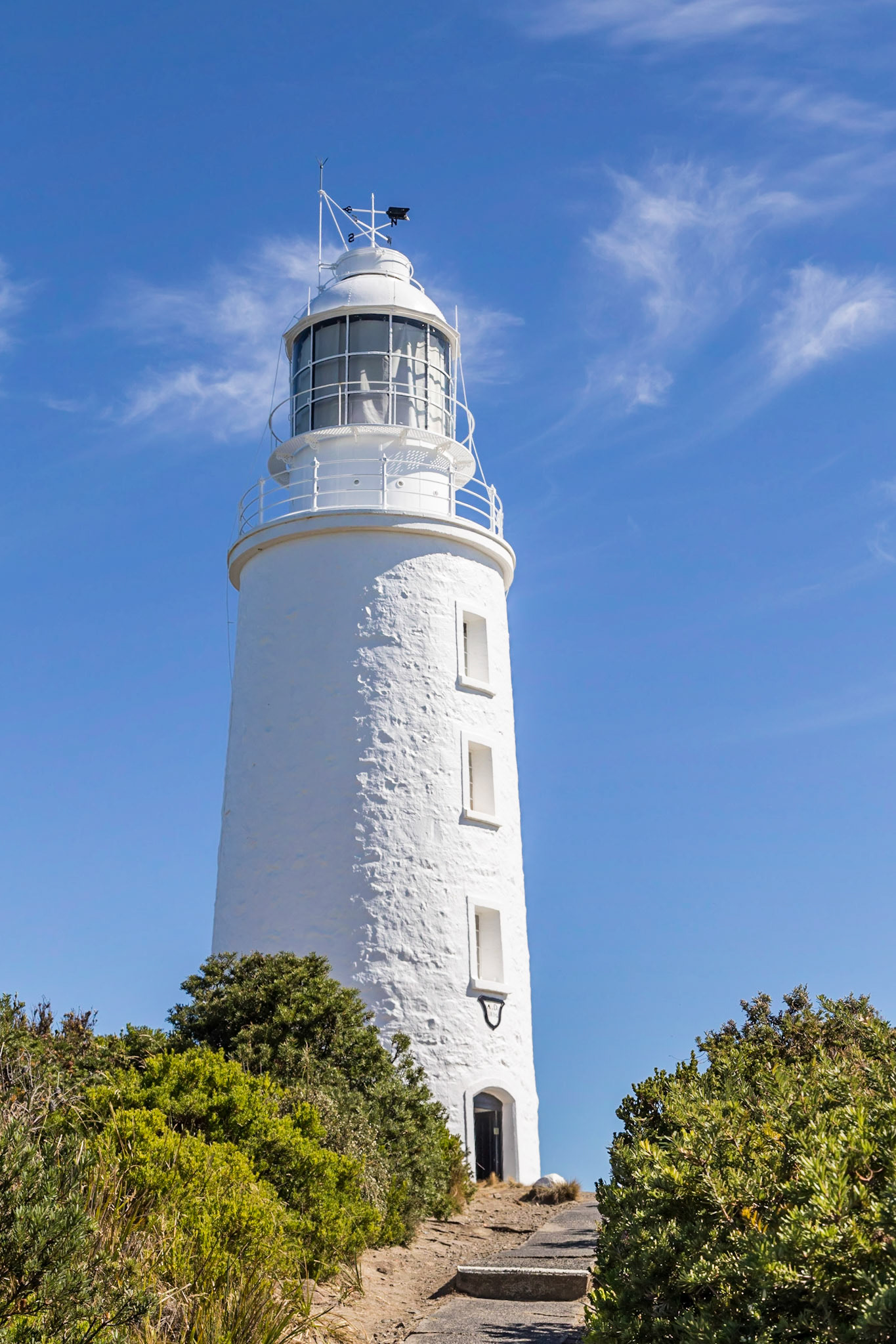
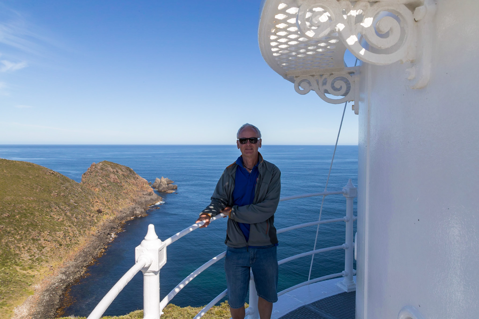
Cape Bruny Lighthouse. It is the second oldest extant lighthouse tower in Australia, as well as having the longest (158 years) history of being continuously manned. It was first lit in March 1838 and was eventually decommissioned on 6 August 1996.
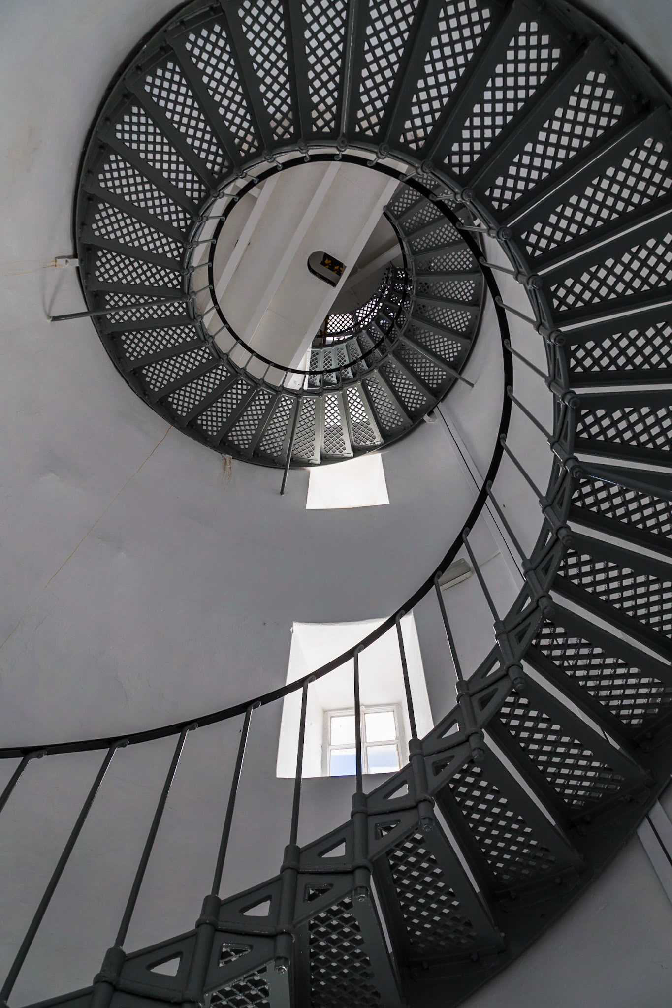
Internal Spiral Stairs; Cape Bruny Lighthouse
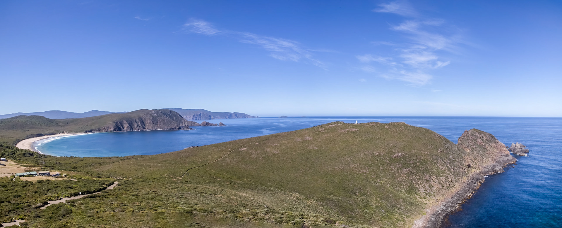
Lighthouse Bay, Cape Bruny
From the Cape Bruny Lighthouse, view to the West across Standaway Bay towards Southport on the opposite shore and Mount La Perouse
On the outer walk of the Cape Bruny Lighthouse
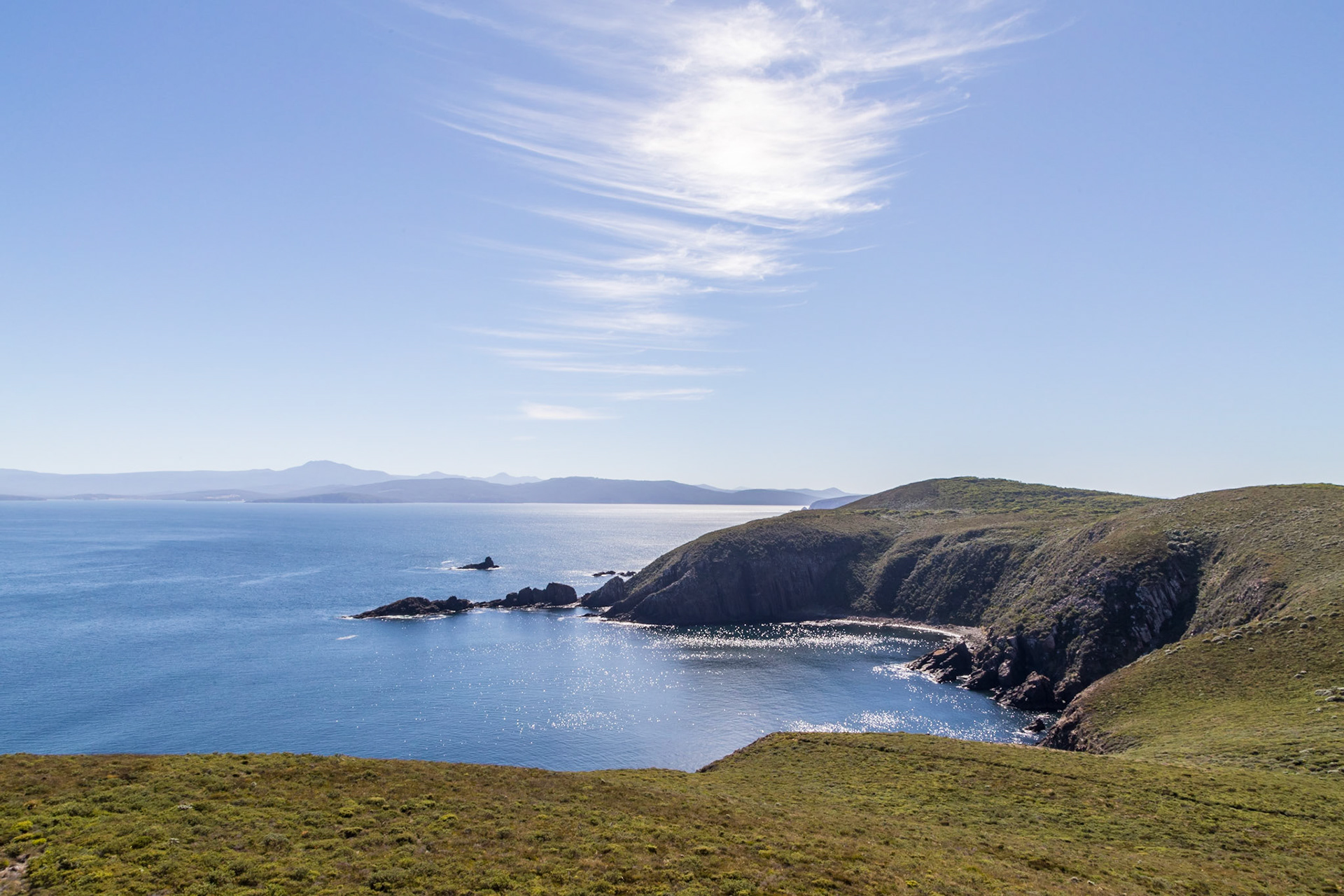
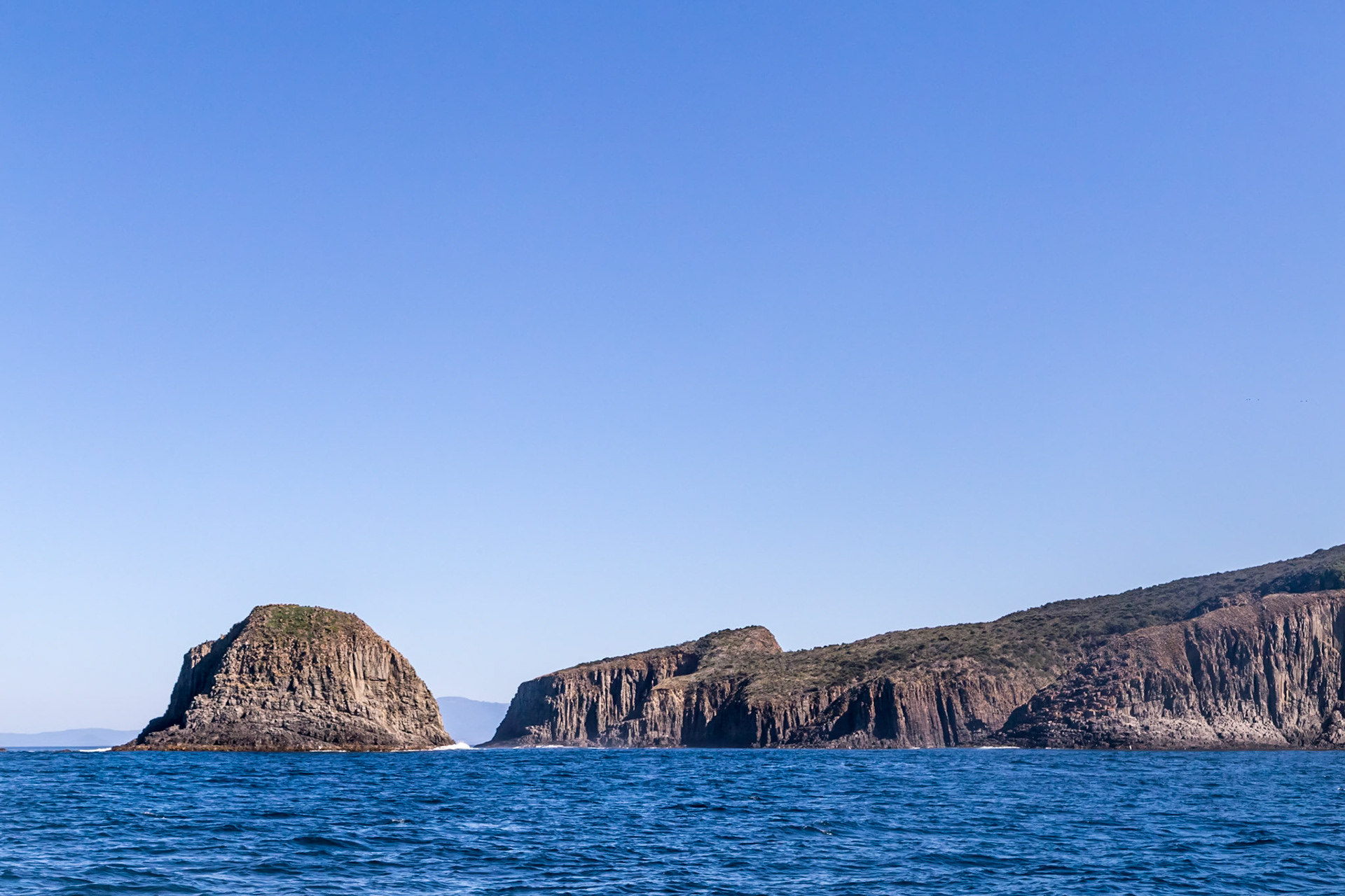
Fluted Cape. On the coast of the South Bruny National Park.
Cliff on the coast of the South Bruny National Park.
Eagle Rock. On the coast of the South Bruny National Park.
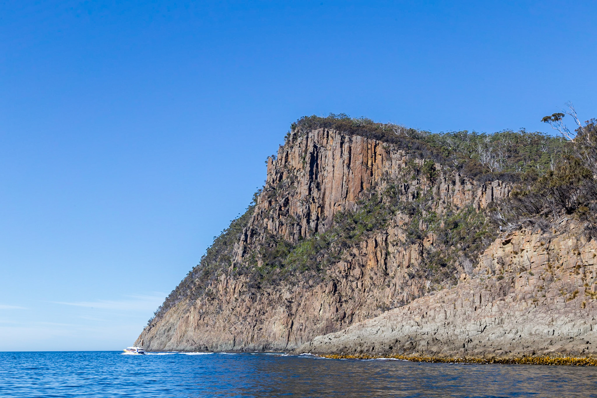
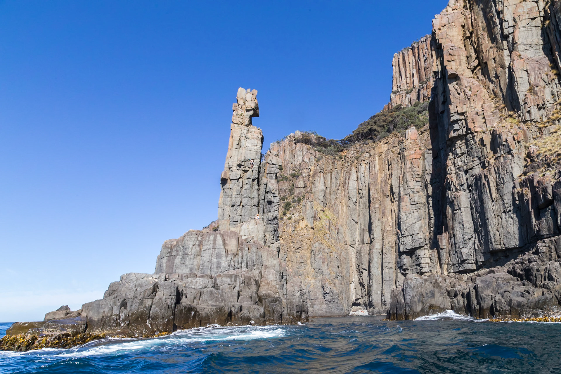
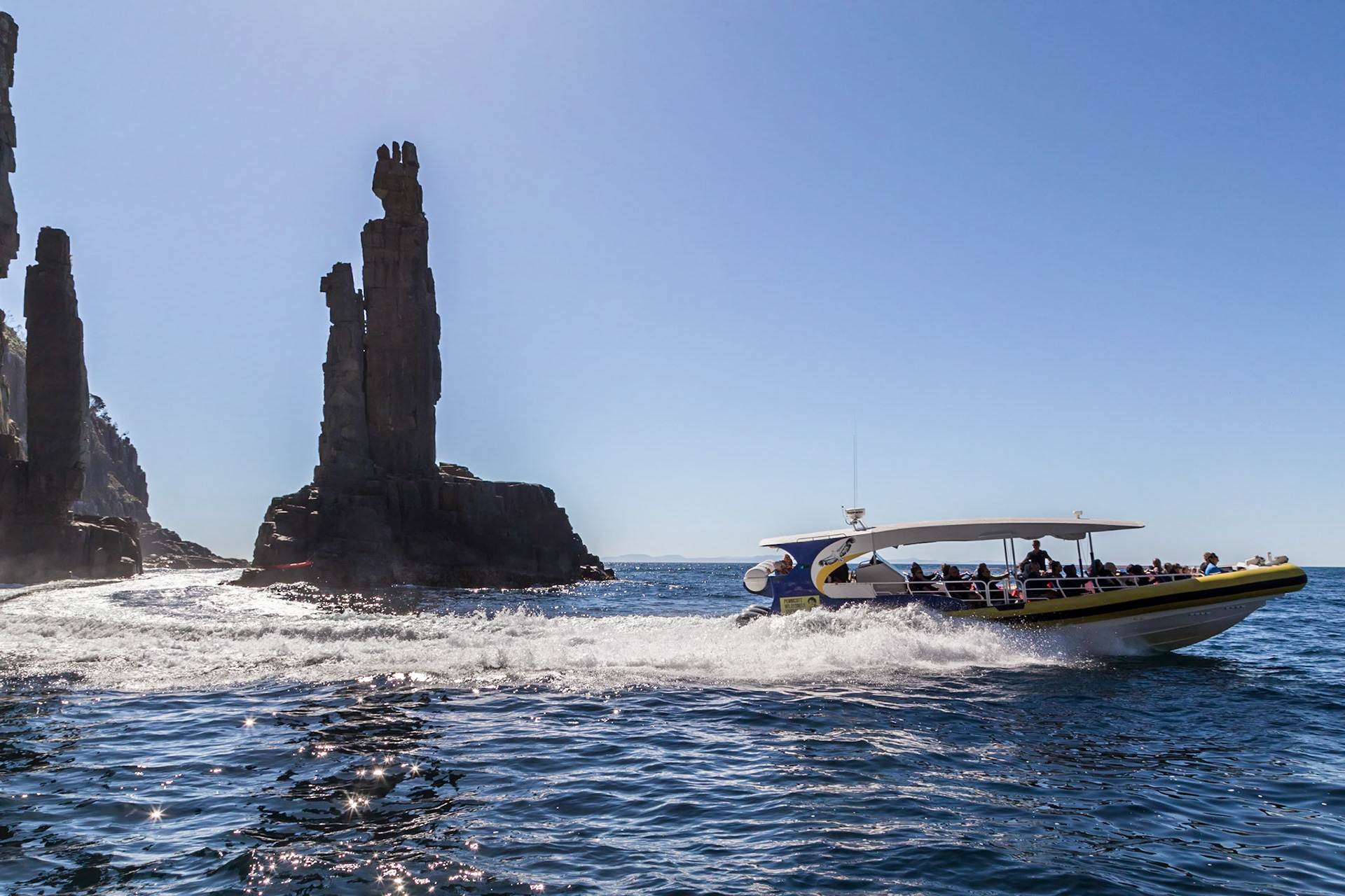
'The Monument', South Bruny National Park.
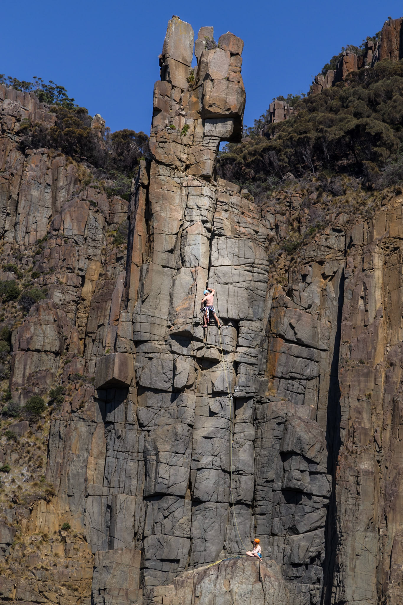
A Rock Climber on ' The Monument', South Bruny National Park.
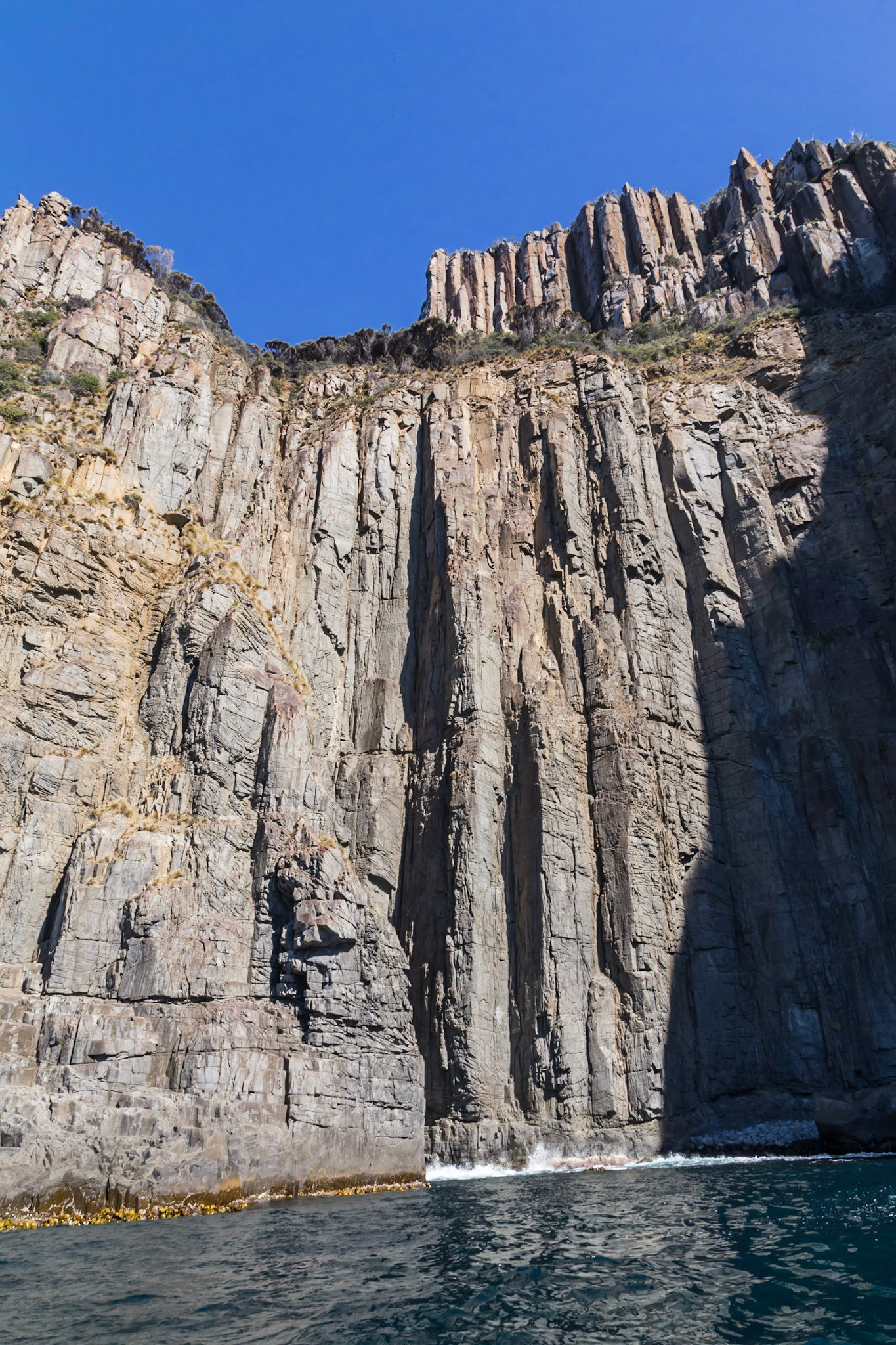
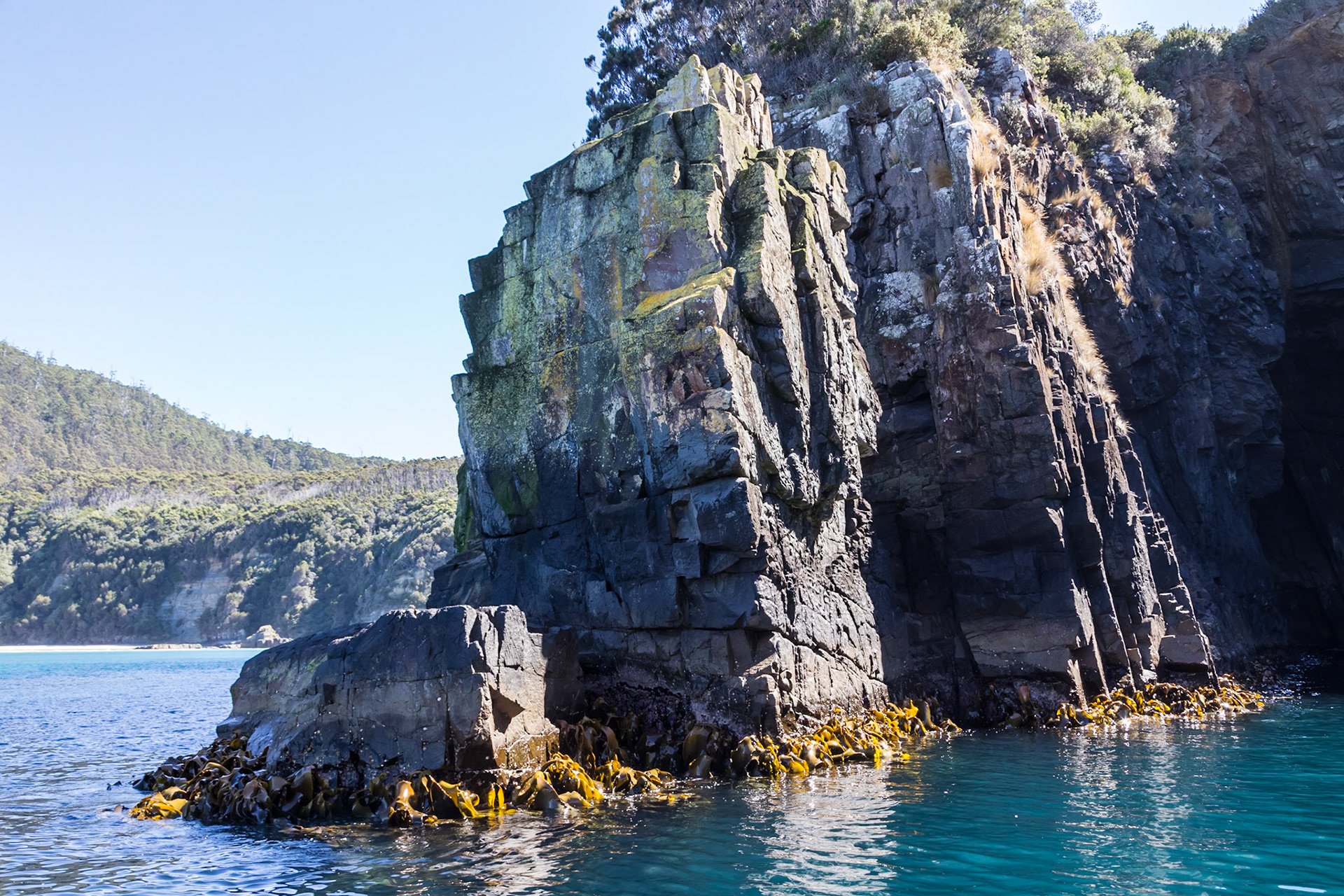
Massive Cliffs around the edge of the South Bruny National Park
'The Monument'. On the coast of the South Bruny National Park.
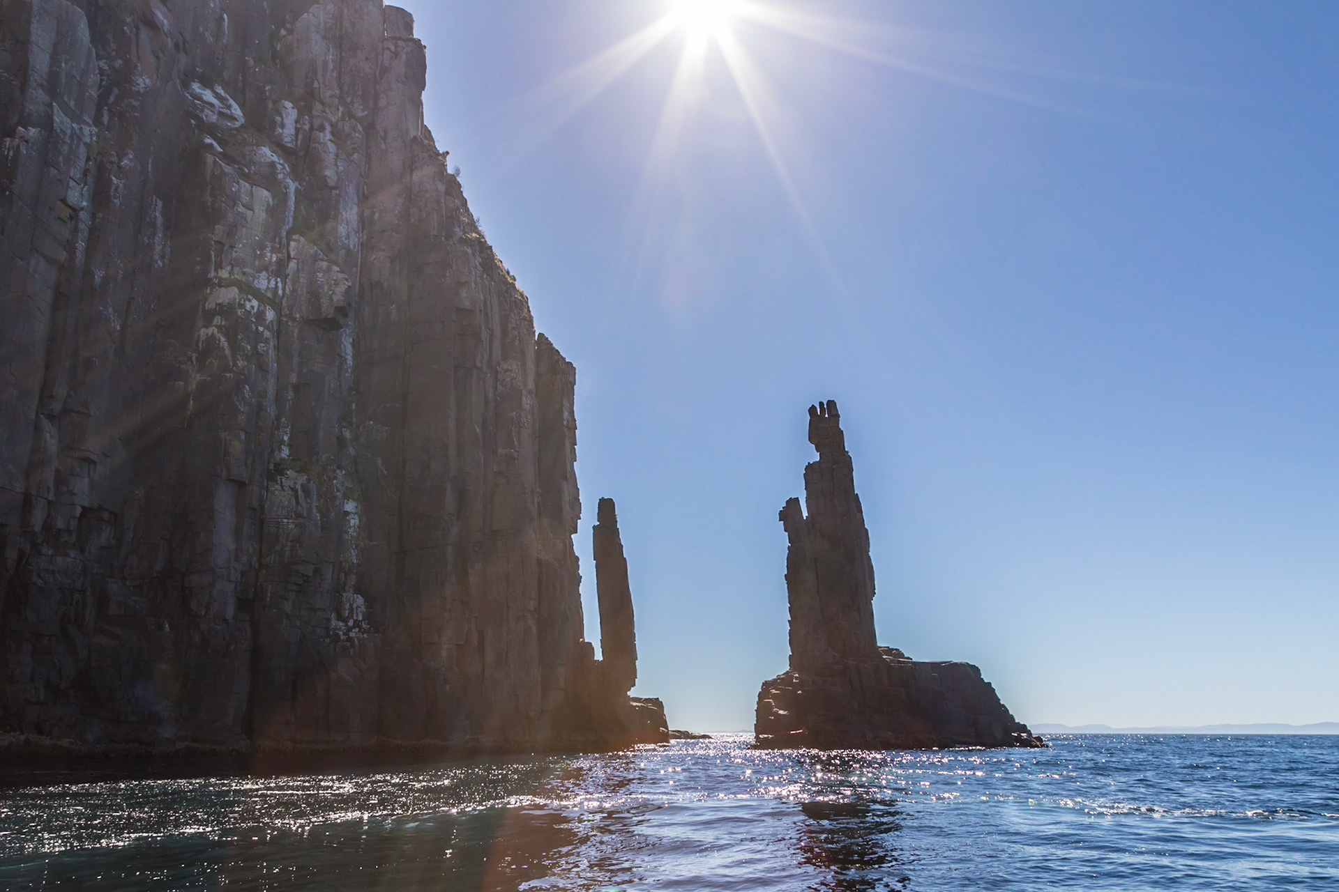
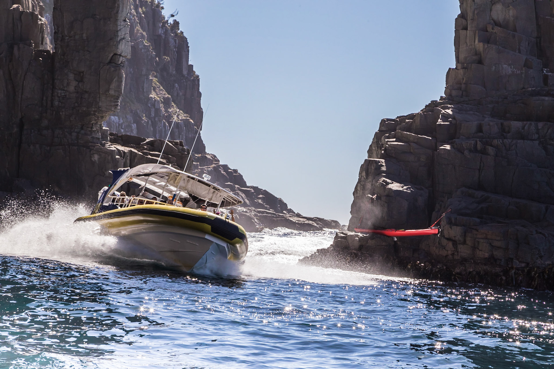
Speeding through the narrow gap between the cliff and 'The Monument' gap. Pennicott Bruny Island Cruises.
Through the narrow gap between the cliff and 'The Monument' gap. Pennicott Bruny Island Cruises.
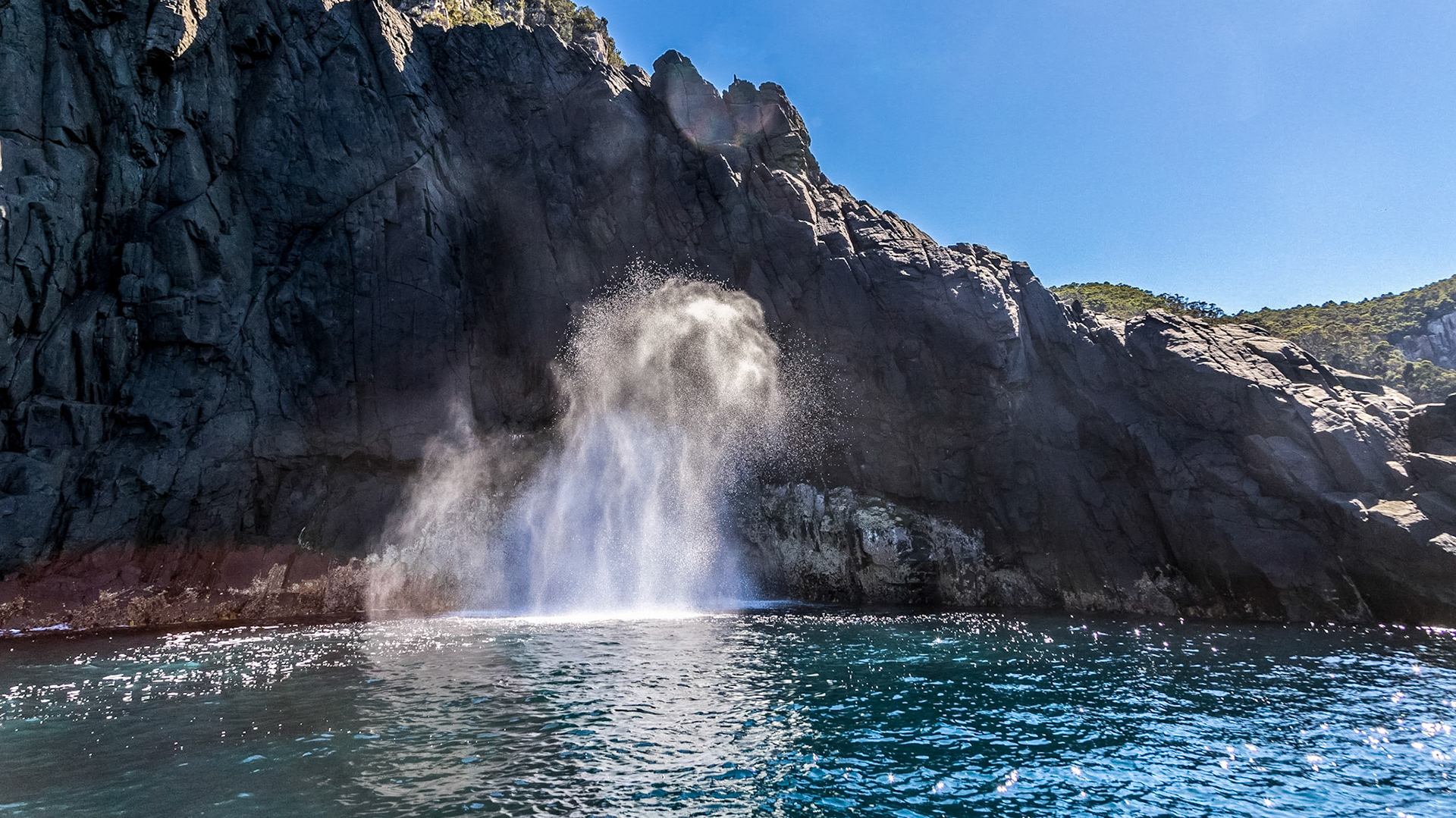
The Blowhole. On the coast of the South Bruny National Park
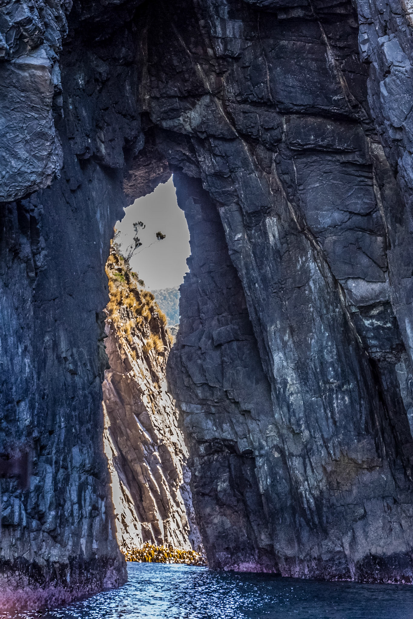
Keyhole Cliff. On the coast of the South Bruny National Park
Along the coast of the South Bruny National Park
Sea cliffs on the edge of the South Bruny National Park
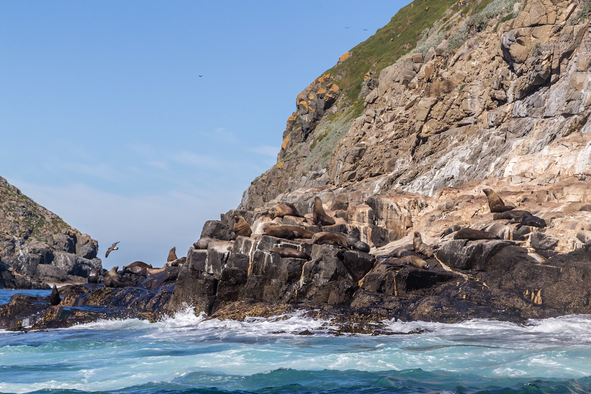
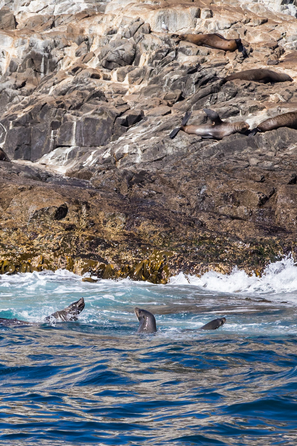
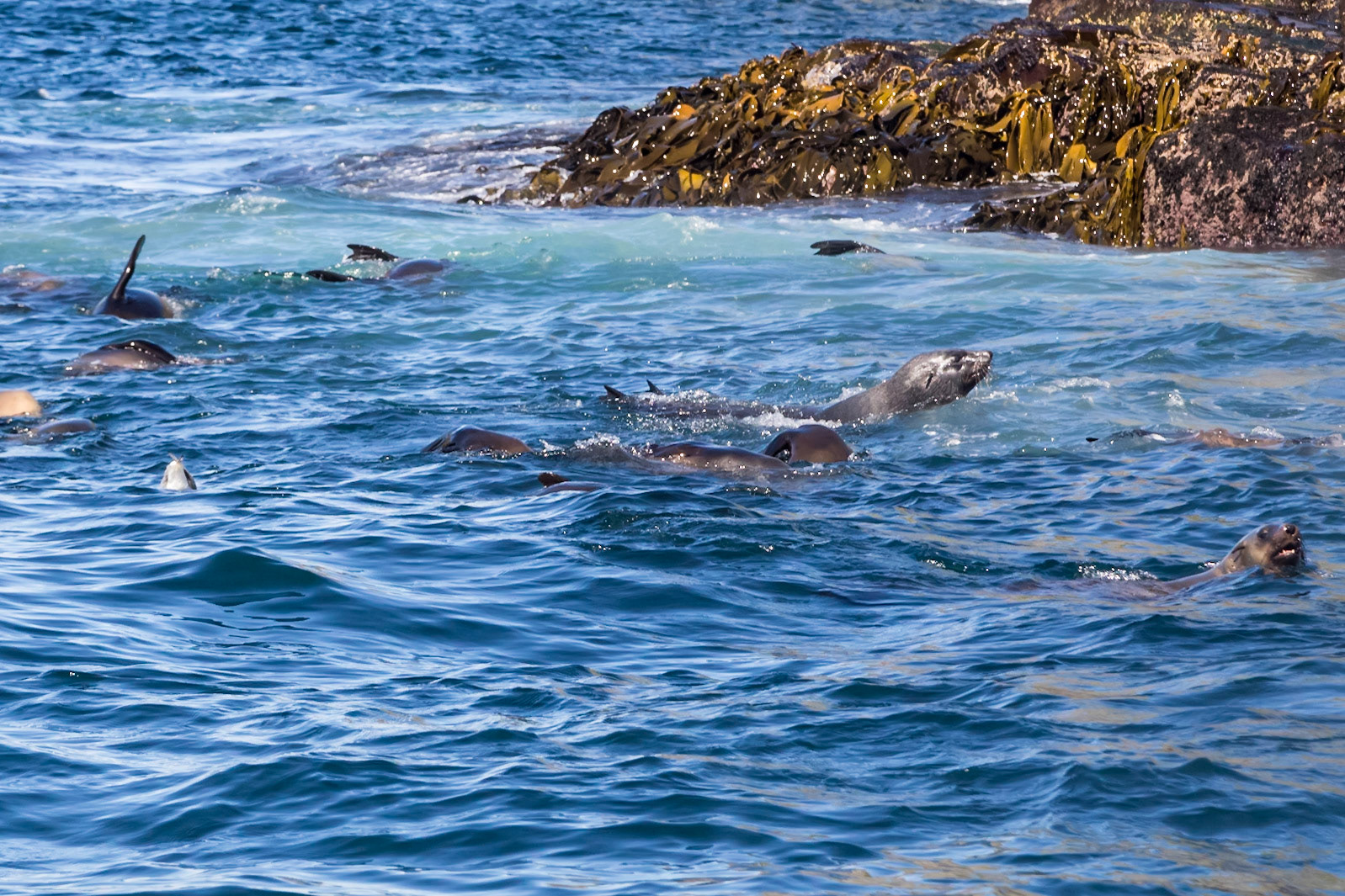
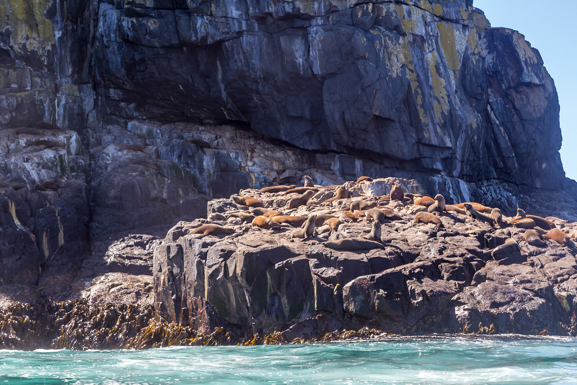
Australian Fur Seals. On The Friars islets just off the coast from the South Bruny National Park
Australian Fur Seals
Australian Fur Seals
Australian Fur Seals
Speeding dolphin. In the Southern Ocean off the coast from the South Bruny National Park
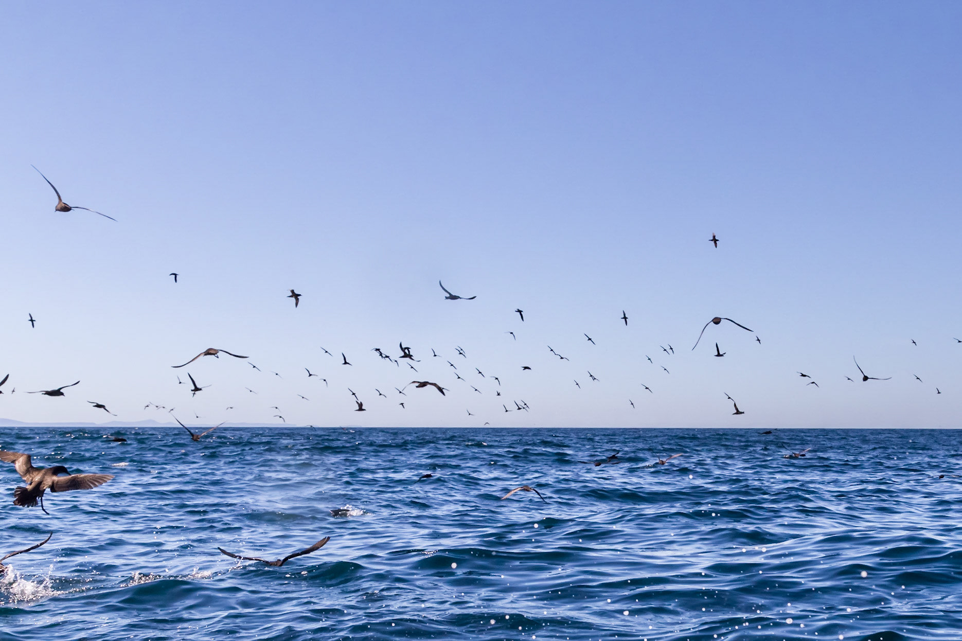
Big flock of Shearwaters following a school of fish
Coal Point on South Bruny. Adventure Bay
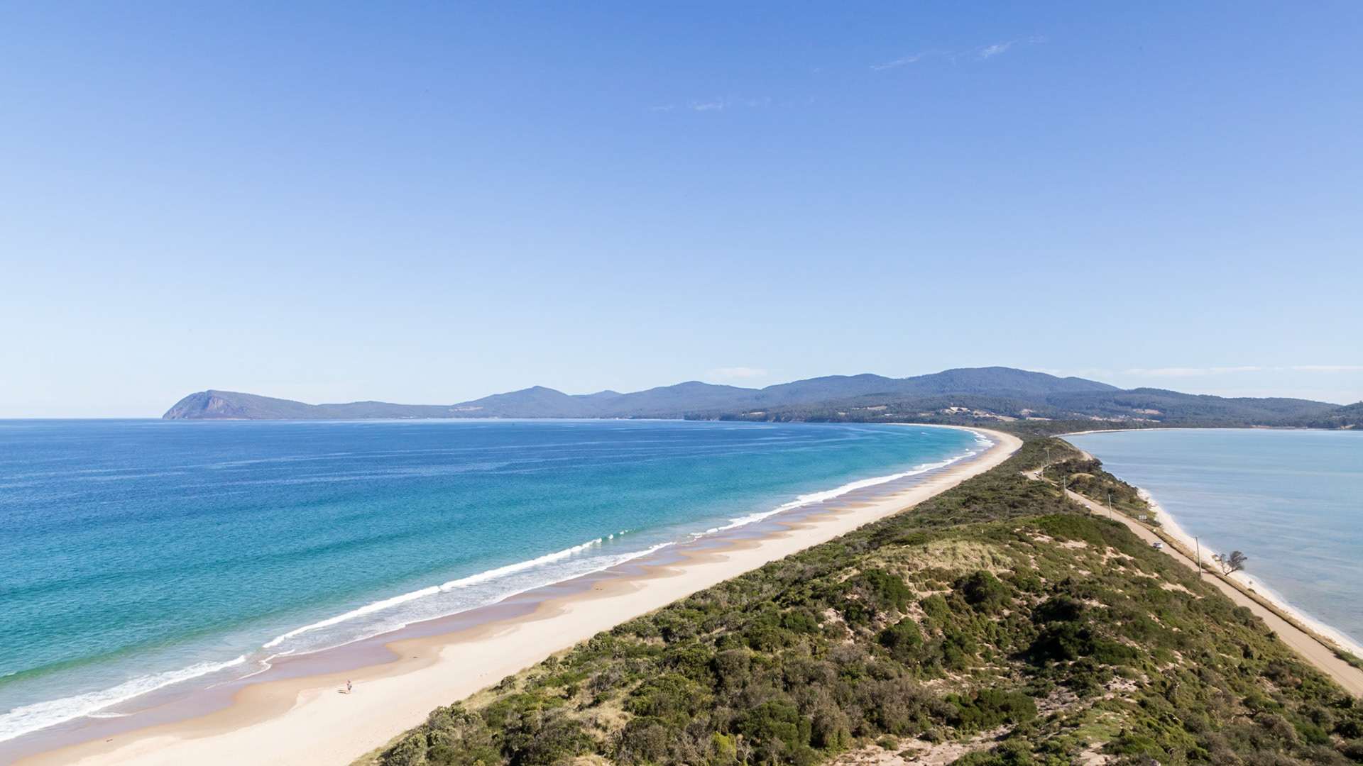
'The Neck'. Adventure Bay on the left (ocean side) and Isthmus Bay on the right (DÉntrecasteaux Channel)
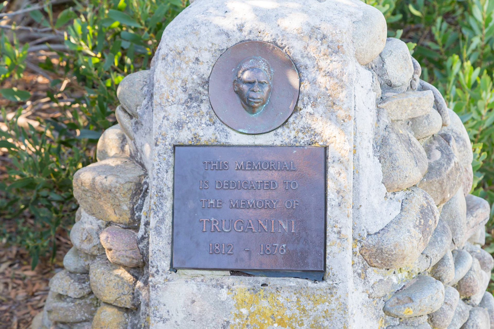
At The Neck, commemorating Truganini, a Bruny Island Aboriginal.
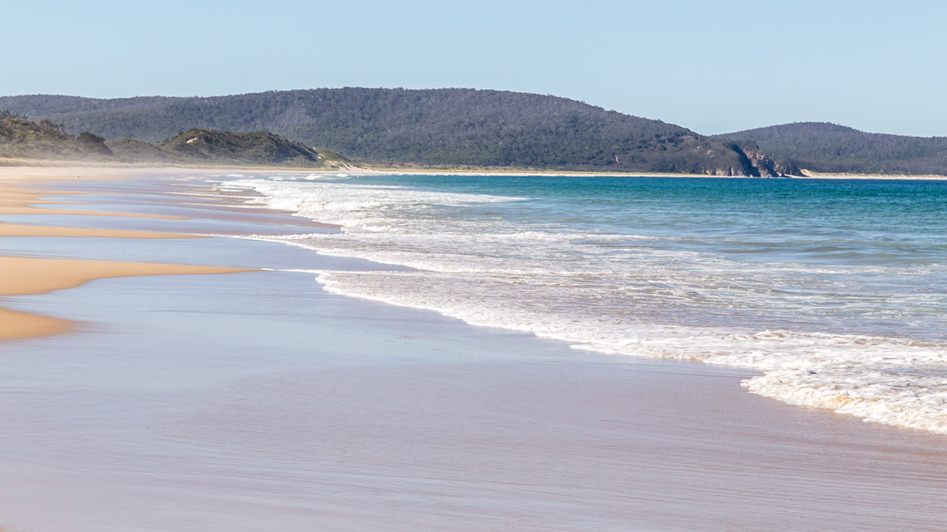
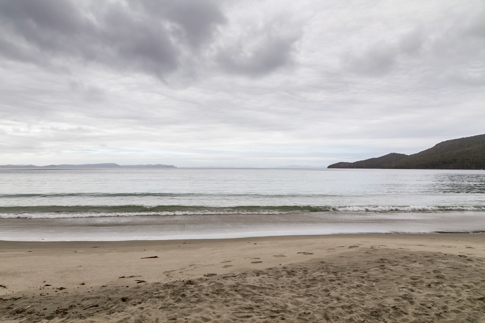
Adventure Bay
Adventure Bay on an overcast day
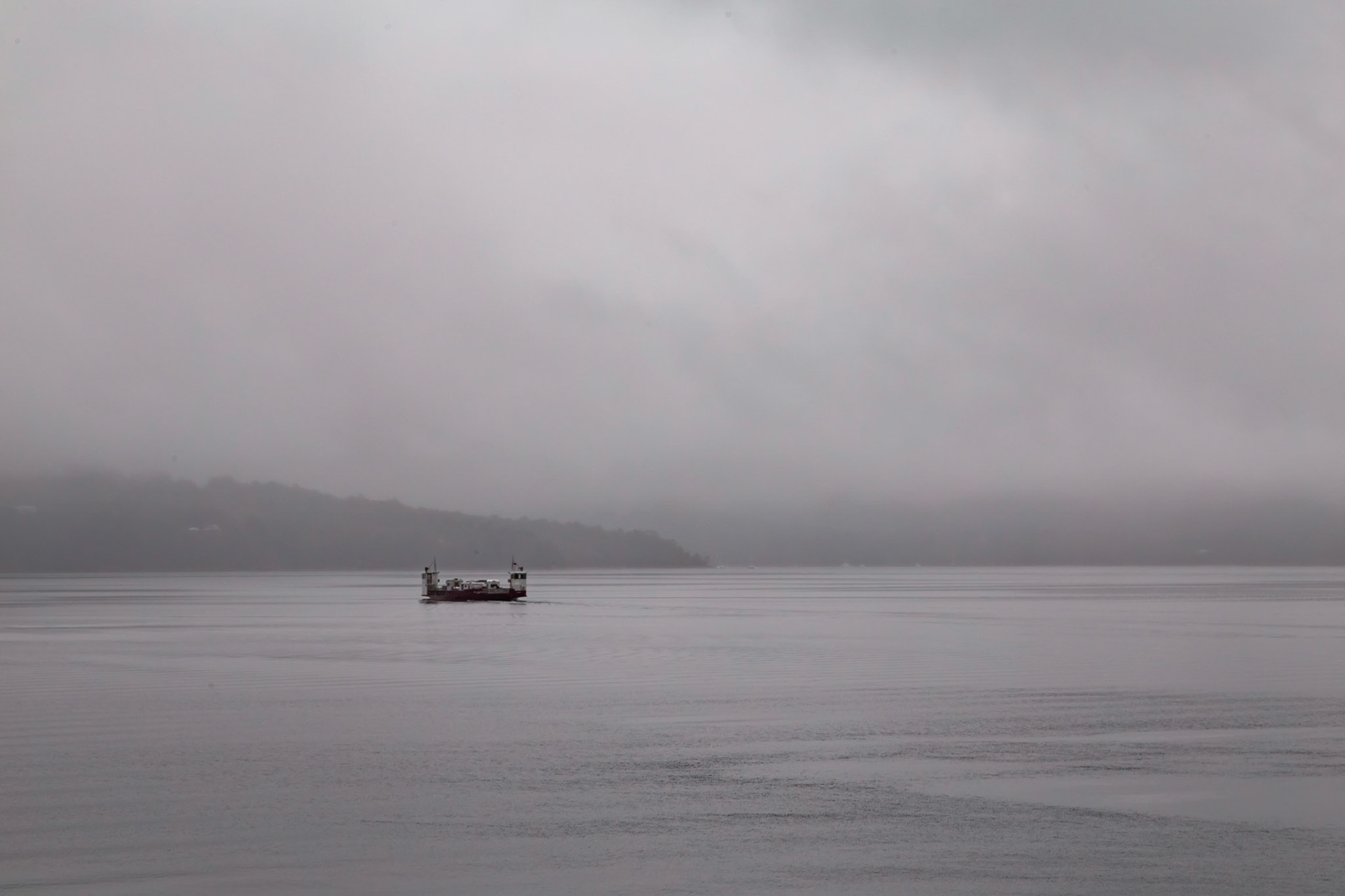
Vehicular ferry "Bowen" crossing DÉntrecasteux Channel after departing Bruny Island
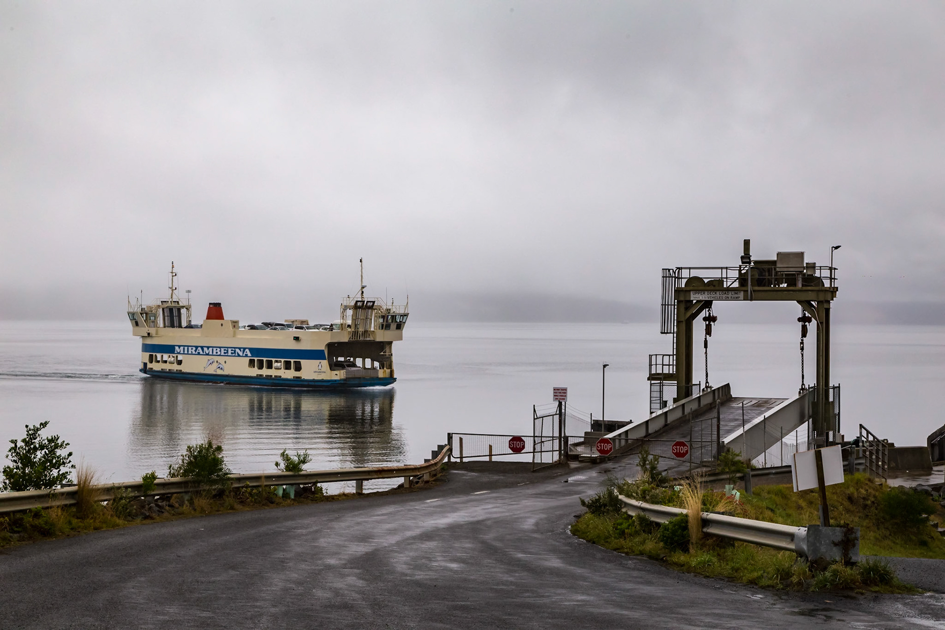
Vehiclular Ferry "Mirambeena" approaching Bruny Island after crossing the DÉntrecasteux Channel